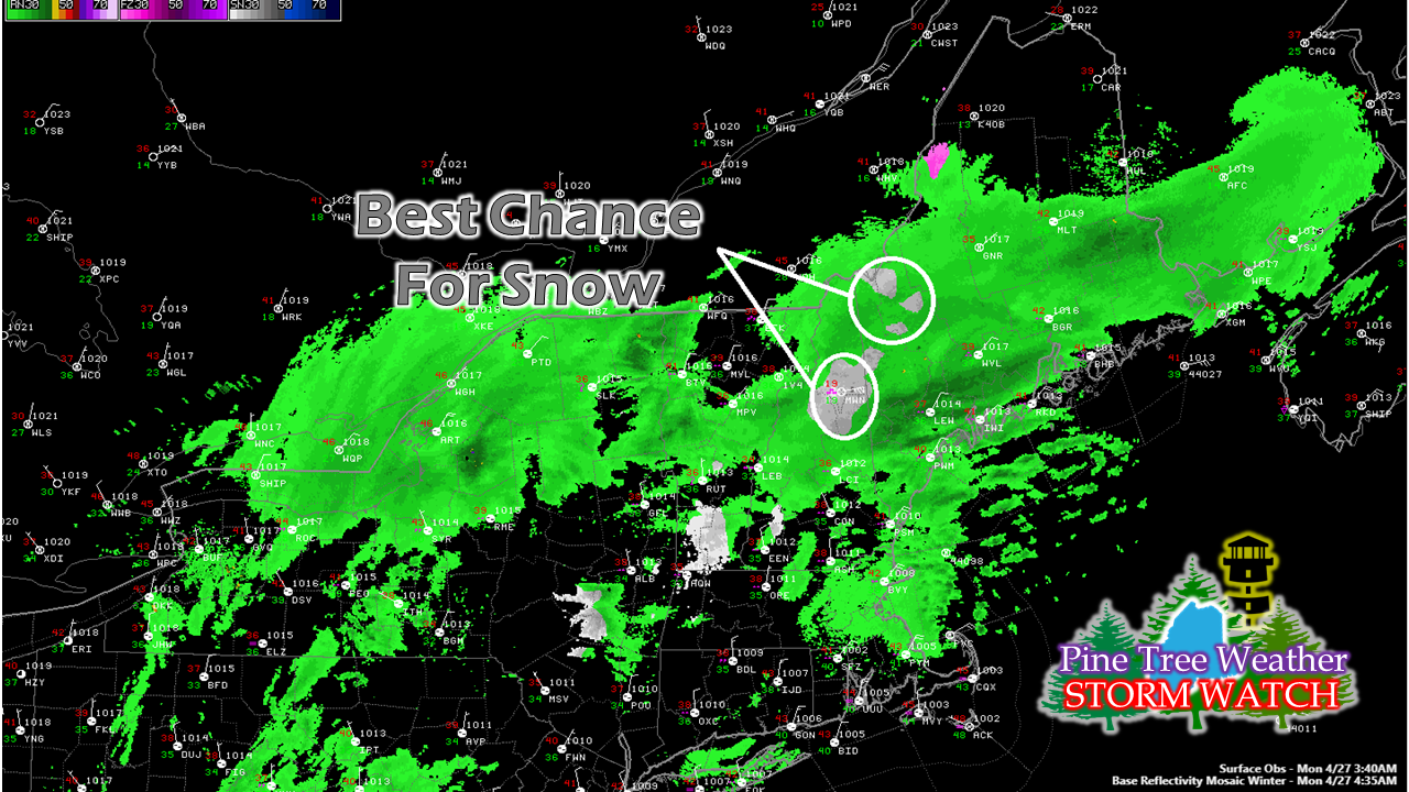
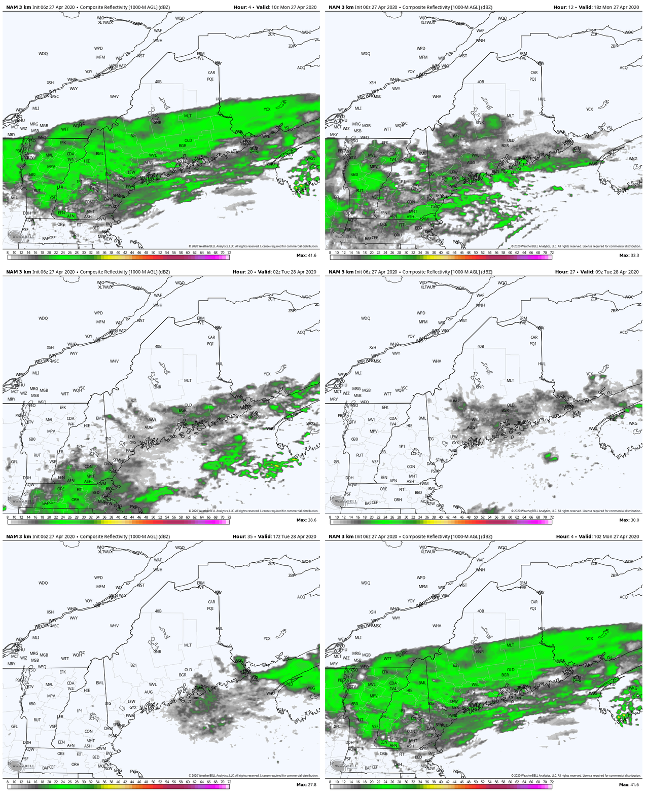
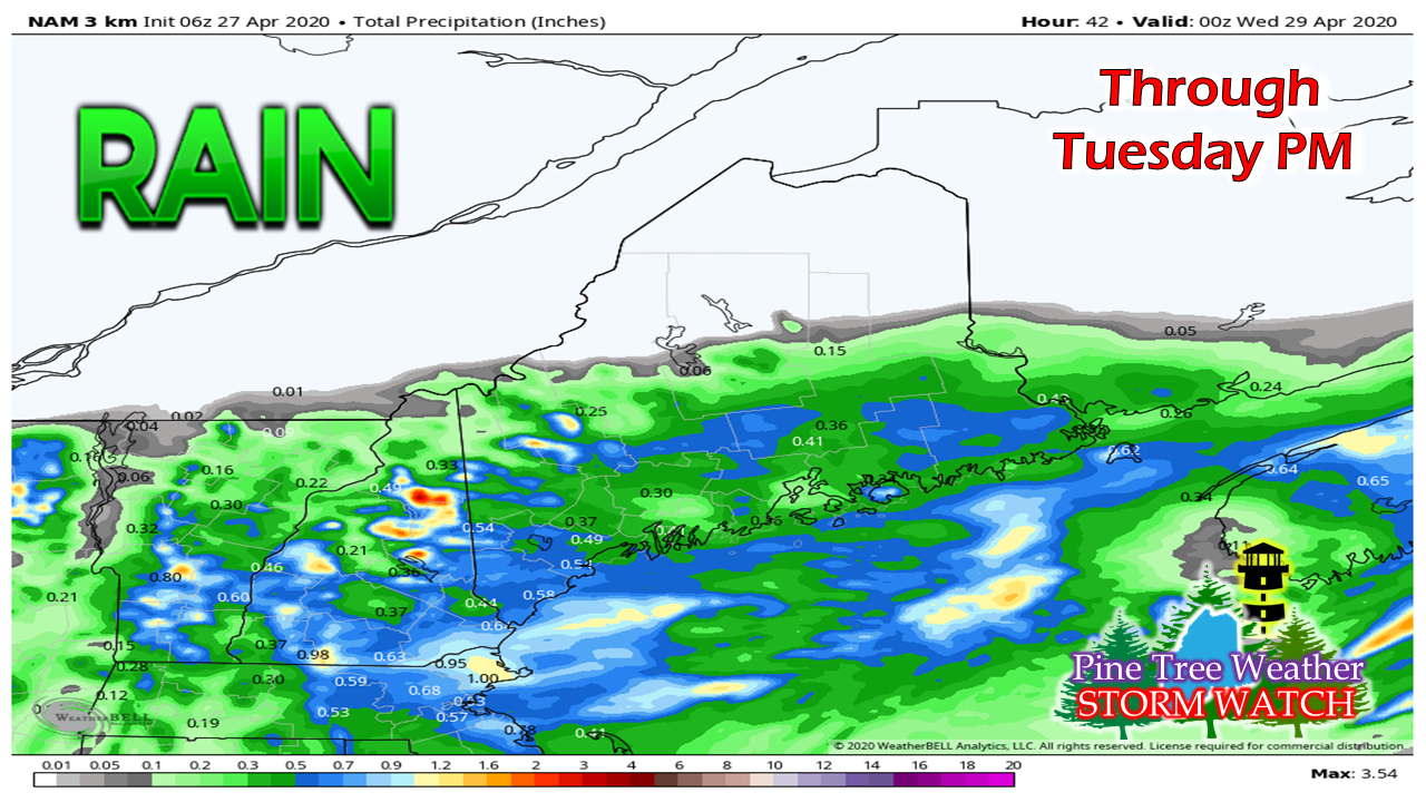
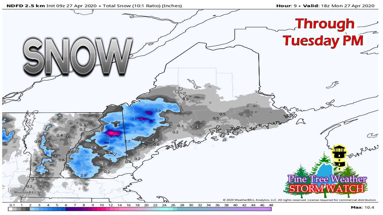
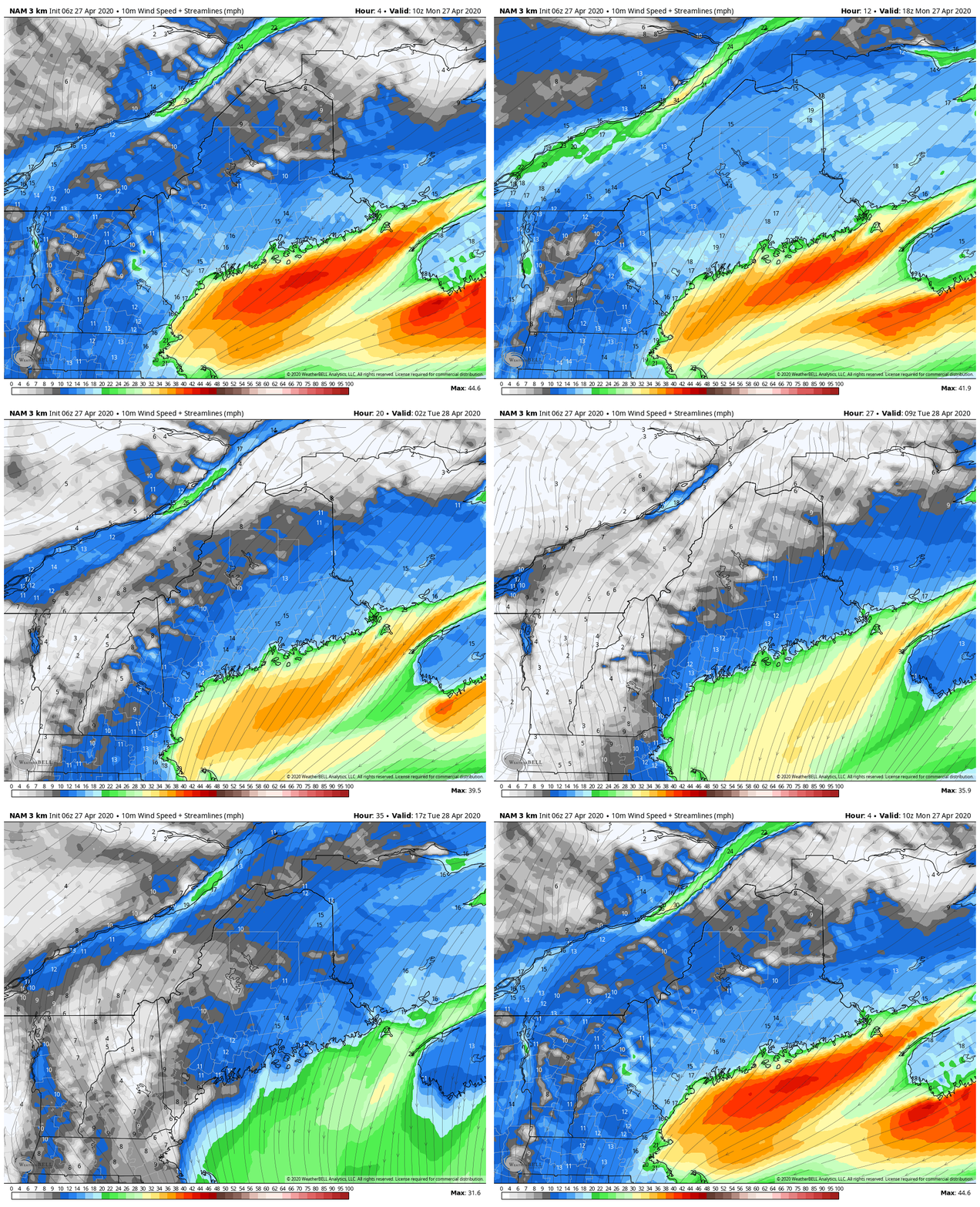
Dynamic cooling did not materializeThe low level cold that was the key for snow to form failed to materialize, and conversely, what fell overnight was mainly rain for most areas outside of the higher elevations. The way the storm plays out from Monday morning forward appears to be the same way. The western Maine mountains from Fryeburg to Sugarloaf have the best chance for accumulation, with lesser amounts elsewhere. Soggy Monday, gradual improvement TuesdayThe storm stalls out offshore and won't start moving eastward until the upper low to the northwest captures it Monday afternoon. Until that point, precipitation will fall from light to heavy as times, being to become scattered overnight, then gradually taper off from west to east on Tuesday. A general ¼-½" of rainfall is expected for the coastal plain, with higher amounts for the eastern facing mountains, which will be predominantly snowfall. The higher elevations of the western mountains and foothills have the best chance for snowfall. I suspect rain and snow will switch off and on at times in that region through Tuesday morning. Where the snow accumulates and sticks, the threat for power outages are possible. Sustained wind in the 10-20 mph range with gusts into the 30-40 mph will continue through Monday. As the storm moves east, the wind begins to subside on Tuesday. The sun returns for a brief visit on Wednesday. Clouds increase Thursday with showers possible in western and southern areas in the afternoon. A statewide windswept soaker is possible Friday into early Saturday. Help the weather community and stay informed!
► ► For the latest official forecasts, bulletins and advisories, please check in with the National Weather Service in Gray for western and southern areas, or Caribou for northern and eastern parts of Maine.
Thanks as always for your support! - Mike |
Mike Haggett
|

