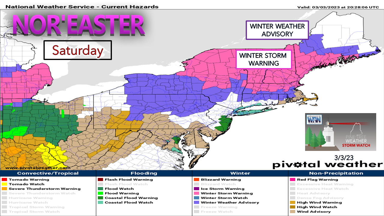
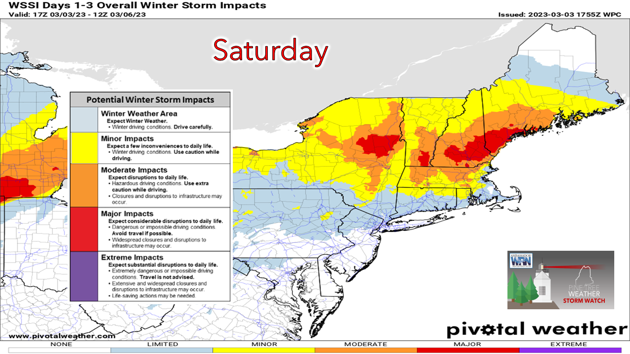
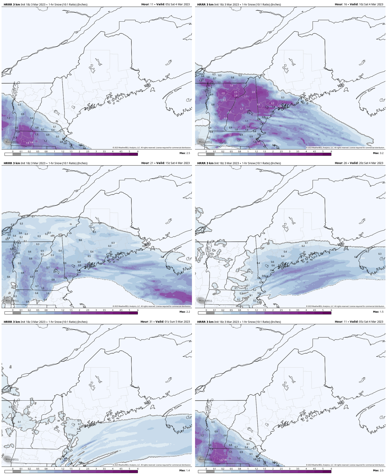
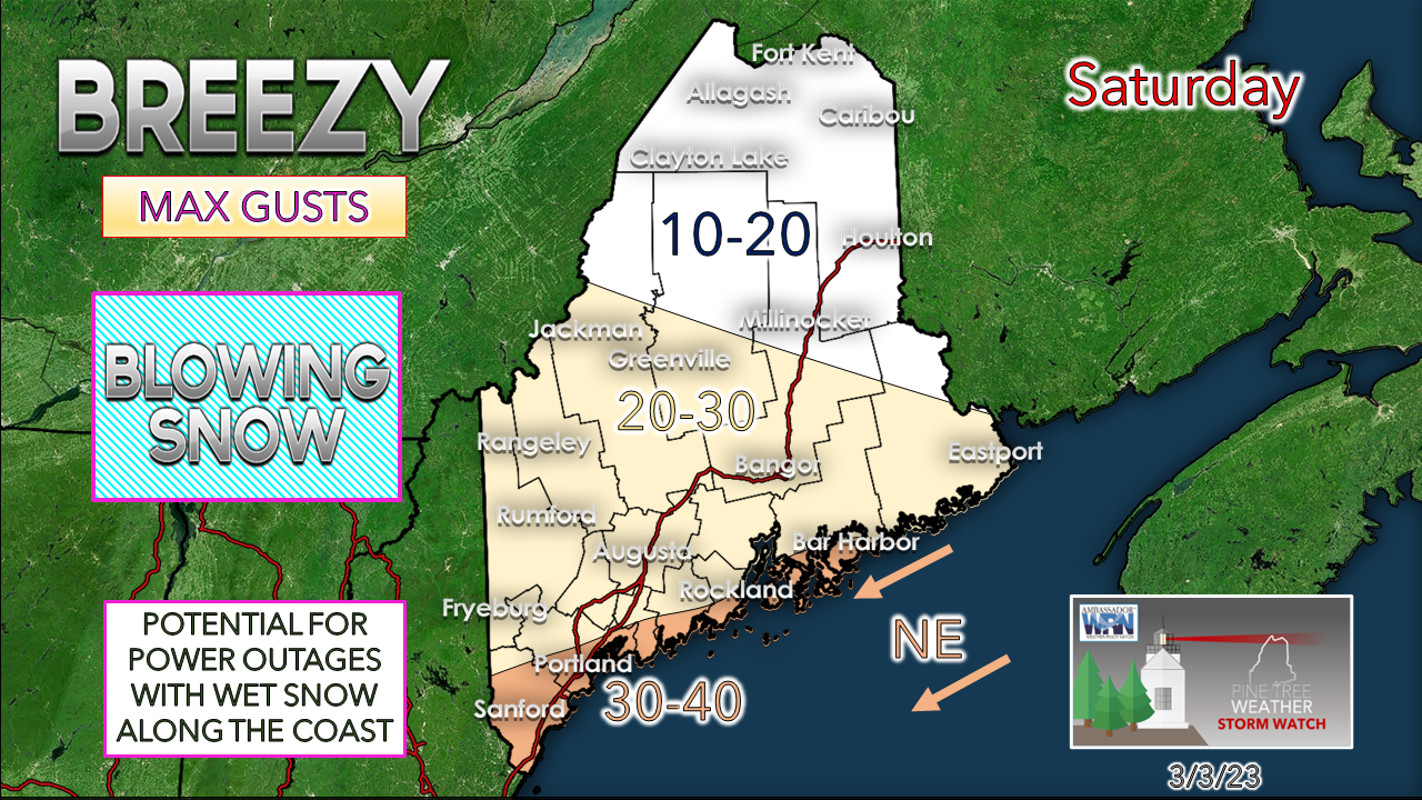
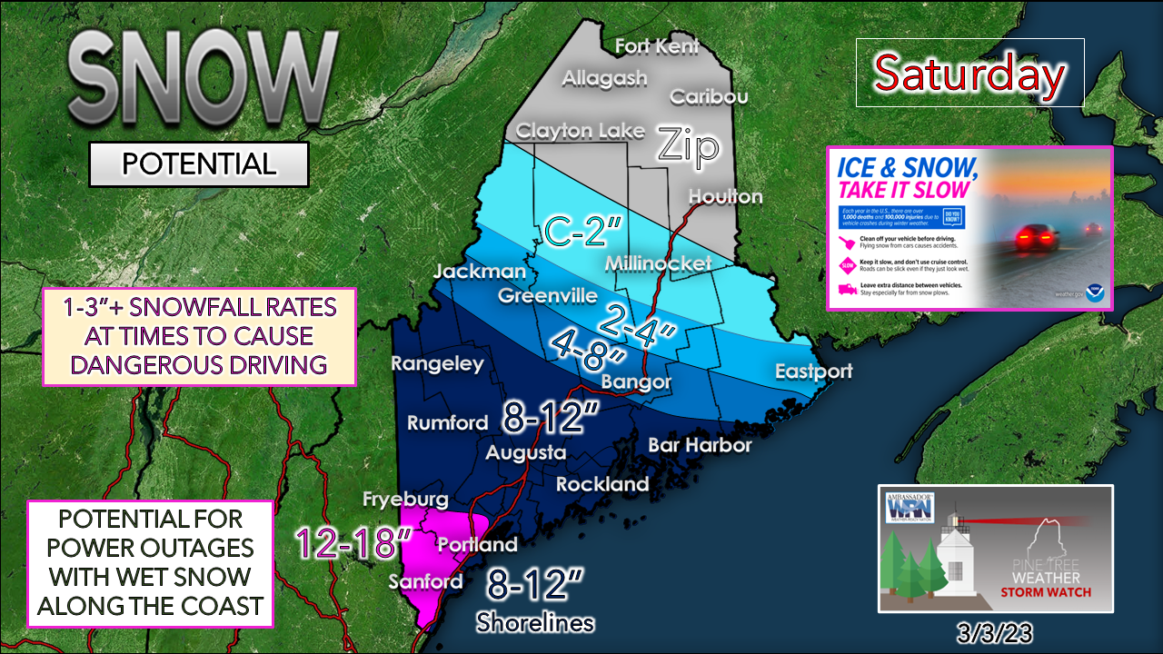
This one will be a traveler's nightmareWinter storm warnings and winter weather advisories are posted for much of central and southern parts of New England. While Maine gets snow out of this, an epic sleet storm is likely across Massachusetts, along with southern areas of Vermont and Massachusetts. For those trying to catch a plane or get into the region, you should beware of cancellations. For those travelling by car or truck, it would be wise to avoid it. I expect the major towns over southern areas are going to have a great deal of difficulty keeping the roads clear. Areas could become impassible. I am not one to throw around the term "crippling" very lightly, but that is what this could end up being. If you do not have to go anywhere on Saturday, don't. If you must travel, allow for plenty of extra time and be prepared for a long wait if you slide off the road. Expect areas of whiteout conditions in the heavier burst. While this won't be a blizzard (exception possible for southwestern areas), the nuking snowfall may make it seem that way. Saturday Midnight to Sunday Midnight - Intense bands of heavy snow are going to dump at rates 1-3"+ per hour in the wee hours of Saturday morning. As road crews try to gain control, another burst of heavy snow passes through the region around midday. Snow tapers off from northwest to southeast through the afternoon, with snow showers possible to continue into Saturday night. Along with the snow for the south also comes the wind. The shorelines deal with heavy, wet snow, which where it sticks may bring power outages. Inland areas that get the fluffier snow may see it blow around Saturday afternoon when higher gusts are expected. A slight adjustment to the snowfall map as ideas have come into line. This is a classic York County Special as that is where snow totals are likely to be the highest. I am a bit leery of the influence of the coastal front. Areas to the east of the Turnpike from Portland south may top out around a foot or less. On the west side, it's game on. Given the amount of snow, it may take time for southern areas to recover, which may take well into Sunday. Outside of some light precipitation midweek, the next storm to watch will be next weekend. Winter is not over. Thank you as always for your support! You may not like the weather, but I hope you like what I do! Please hit the like button on Twitter and Facebook, and share! Stay updated, stay on alert, and stay safe! - Mike NOTE: The forecast information depicted on this platform is for general information purposes only for the public and is not designed or intended for commercial use. For those seeking pinpoint weather information for business operations, you should use a private sector source. For information about where to find commercial forecasters to assist your business, please message me and I will be happy to help you. |
Mike Haggett
|

