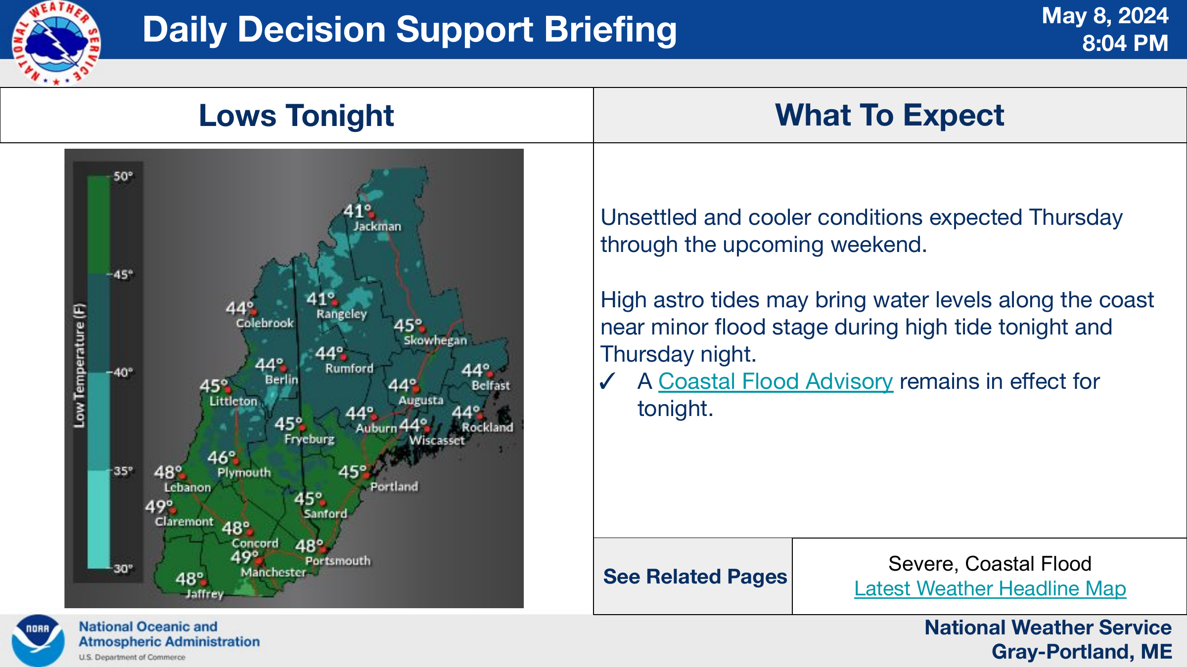
IMPORTANT NOTE:
The data provided here is for general information purposes only. PLEASE CHECK THE DATE AND TIME of the images to make sure they are current. The images are automatically fed into the page from their respective sources. DATA DISRUPTIONS CAN AND DO OCCUR from time to time. BE AWARE if you see images that appear out of date and incorrect.
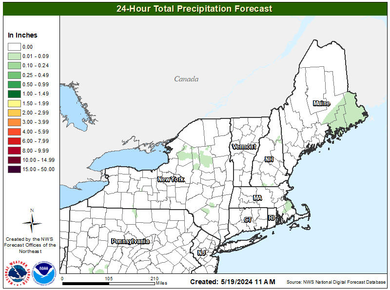
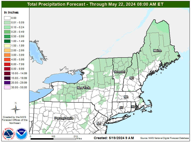
Daily Forecast Map

Northeast Active Bulletins
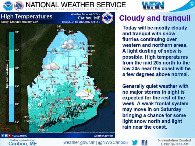
Northern / Eastern Maine
Western / Southern Maine and New Hampshire
Flood Outlook from Northeast River Forecast Center

Severe Weather Outlook

Fire Weather Outlook

Satellite
Radar
Temperature
Wind speed and direction
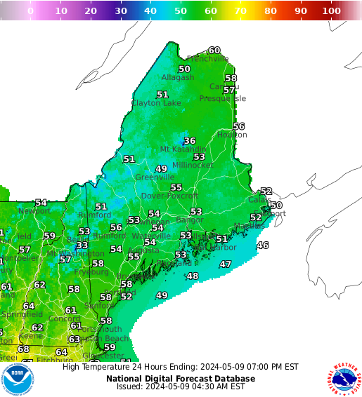
Forecast High Temperatures
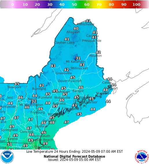
Forecast Low Temperatures
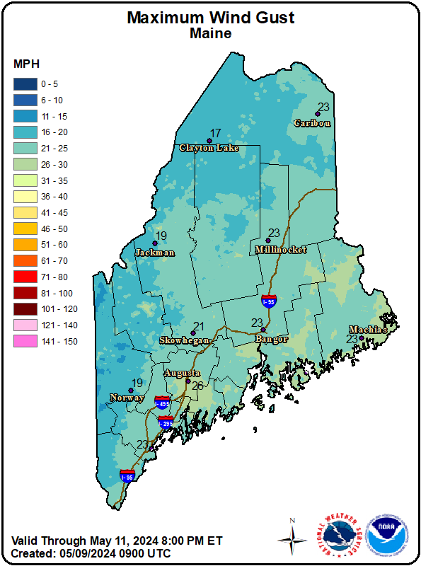
Wind gust
Liquid equivalent precipitation