
Saturday mainly dry for until later in the day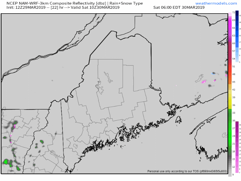 The cold front that passed through the region on Friday stalls over southern New England. A weak area of high pressure moves into the area, bringing cooler air with it. Low pressure fires up over the Great Lakes on Saturday. High pressure moves eastward Saturday night, and a warm front moves in to start Sunday. The results of the stalled frontal boundary to the south means cooler than previously forecast temperatures, with the north and mountains ranging in the 30s to around 40° and the coastal plain in the 40s with far southern areas around 50°. If by chance the stationary front wiggles back northeast, there is an outside chance of upper 50s for interior southwest York County. With warmer air building in a loft, fog could develop Saturday night, especially in areas where snow is still plentiful and frozen bodies of water. A damp Sunday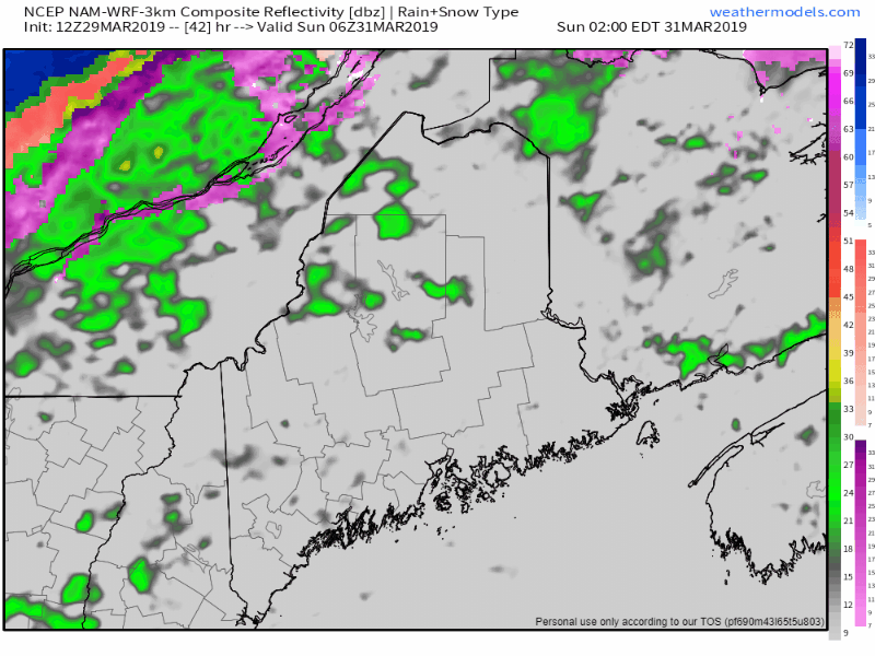 After the warm front surges north bringing some scattered morning showers on Sunday, a cold front approaches from the west Sunday afternoon, passing through the area Sunday night. 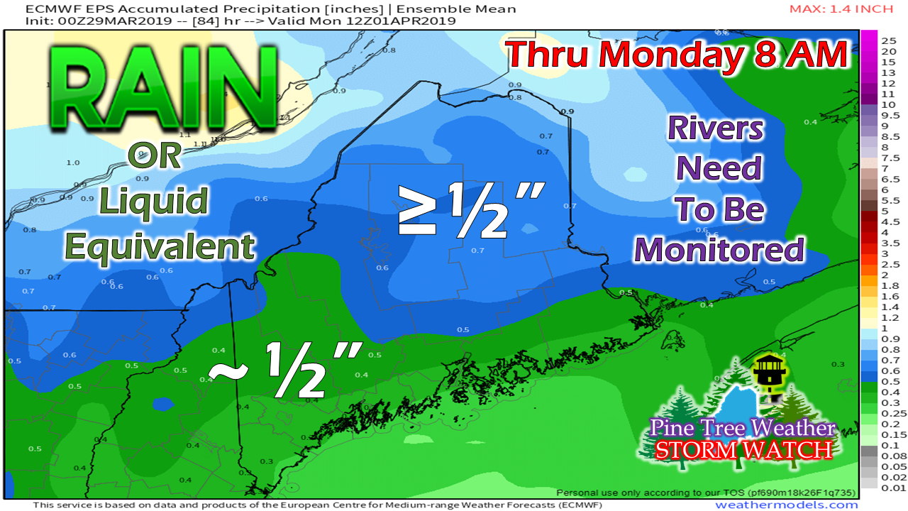 The sum of rain from Friday through Monday has decreased a bit. Keep in mind that the combination of fog, melting runoff, and what rain comes could cause issues around the rivers, brooks and streams. Rain total ideas projected here could go higher in areas of downpours. Snow on the back side of the front may bring an inch to the higher elevations and the far north. with perhaps a dusting to a ½" in the interior valleys Sunday night. Coastal areas may see some flakes overnight into Monday. About Wednesday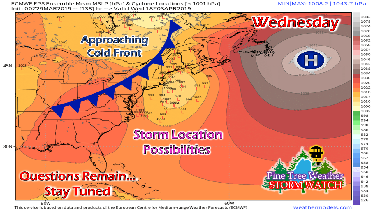 High pressure that comes into our region Monday heads east on Tuesday. A storm system over the southeast will approach New England Tuesday night into Wednesday. It's a timing game at this point between the exiting high and a cold front approaching from the northwest. Guidance has been a bit nutty with this over the past couple of days, showing a snow/rain/wind event from a potent NorEaster, but the operational models have the cold front kicking the storm out to sea, with perhaps some rain showers for the coast and clouds and breeze elsewhere. Ensembles are still scattered in what will happen here, so I am not going to write off any the ideas I have mentioned just yet. This will come into better focus as we approach next week. Regional outlook through Wednesday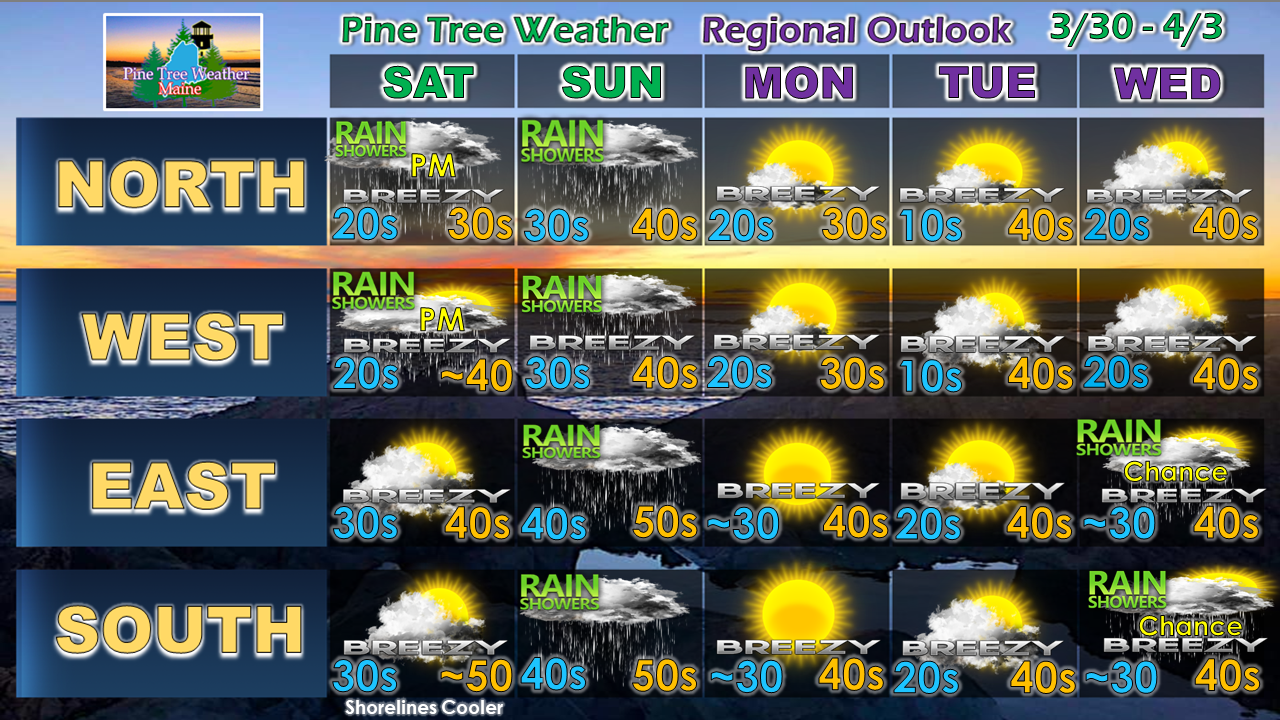 Confidence is good through Monday into early Tuesday. Wednesday is the best idea for now, but could change.
NOTE: I will do my best to update on the Wednesday storm this weekend, whether here or on Facebook. ► ► For the latest official forecasts, bulletins and advisories, please check in with the National Weather Service in Gray for western and southern areas, or Caribou for northern and eastern parts of Maine. ► ► Your financial donations are much appreciated to keep this site funded and for further development. I sincerely appreciate your support not only financially, but also in sharing my efforts with others. Always stay weather aware! - Mike |

Mike Haggett
|


