Pine Tree Weather
  • DISCUSSIONS
  • DONATE
  • MAPS
  • NWS BRIEFINGS
  • SATRAD
  • MARINE
  • SNOW / ICE OUTLOOK
  • RAIN OUTLOOK
  • CPC OUTLOOK
  • Kennebunk
  • OBSERVING WEATHER
  • Who We Are
  • My Photography
  • DISCUSSIONS
  • DONATE
  • MAPS
  • NWS BRIEFINGS
  • SATRAD
  • MARINE
  • SNOW / ICE OUTLOOK
  • RAIN OUTLOOK
  • CPC OUTLOOK
  • Kennebunk
  • OBSERVING WEATHER
  • Who We Are
  • My Photography

Wednesday storm update

11/30/2022

Comments


What you need to know

Picture
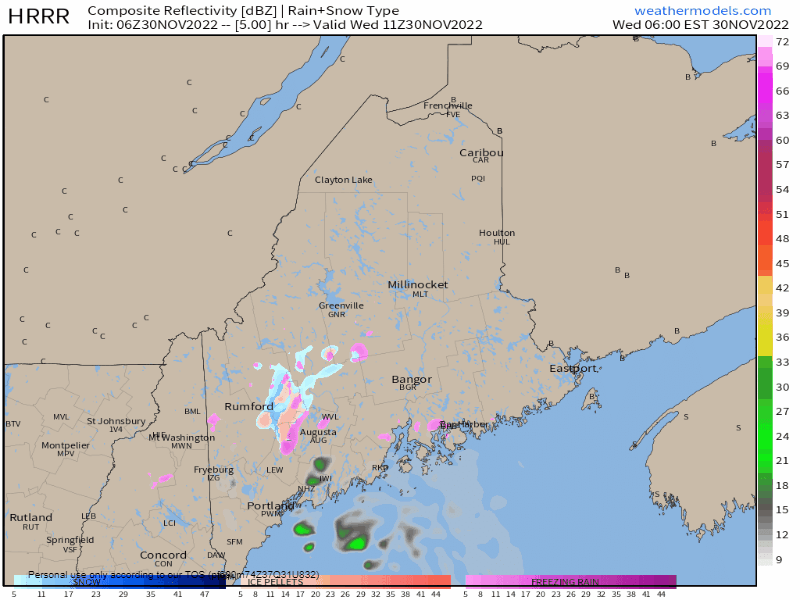
HIGH WIND WARNING for SAGADAHOC, LINCOLN, KNOX, WALDO, HANCOCK and Coastal and Central WASHINGTON Counties

WIND ADVISORY for YORK, CUMBERLAND, OXFORD, FRANKLIN, SOMERSET, ANDROSCOGGIN, KENNEBEC, PENOBSCOT, PISCATAQUIS, AROOSTOOK, and northern WASHINGTON COUNTIES

SECURE LOOSE OBJECTS and OUTDOOR CHRISTMAS DECORATIONS - KEEP YOUR PHONES CHARGED - EXPECT POWER LOSS

THE RED SQUALL LINE ahead of the front passing through the region tonight is when the strongest wind gusts are expected, between 7 PM (west / south) and MIDNIGHT (north / east). A rumble of THUNDER is possible.

WINTER WEATHER ADVISORY / SPECIAL WEATHER STATEMENTS for FREEZING RAIN... use the SUBTRACT 5° TEMPERATURE RULE on your vehicle thermometer to determine actual surface temperature. For those who travel in the foothills and mountains, anticipate that as a moving target between the peaks and valleys. IF WHAT YOU SEE IS WET, EXPECT ICE TO BE SAFE.

LOCALIZED FLASH FLOODING from HEAVY RAIN and SNOWMELT is possible over the interior. If you have snow on the ground, expect runoff. Low lying areas susceptible to flooding. Swift River in West Roxbury, this means you. STANDING WATER on roadways could cause HYRDROPLANING on the faster roadways. URBAN STREET FLOODING is possible from clogged drains due to blowing tree debris.

Areas of FOG are possible in areas that have a snowpack.

MINOR FLOODING, SPLASH-OVER, and EROSION possible for the shorelines with the 4 PM HIGH TIDE. WAVES building to 6-10' during the day, 8-15' Wednesday night, slowly subsiding on Thursday.

ALL LIQUID FREEZES UP OVERNIGHT - EXPECT PATCHY BLACK ICE THURSDAY MORNING.

Updates on my Twitter feed https://twitter.com/PineTreeWeather

​Stay aware, stay on alert, and stay safe! - Mike
Comments
<<Previous
    Picture

    Mike Haggett
    Kennebunk, ME

    Certified Weather
    Forecaster
    Penn State '21

    American Meteorological Society

    National Weather Association

    Weather-Ready Nation 
    Ambassador
    ​
    ​SKYWARN-CWOP

    Matthew 19:26


    Support
    Pine Tree Weather

    DONATE

    Picture

    Picture

    Picture

    Picture

    Picture

    Picture

    Picture

    Picture

    Picture

    Picture

    Archives

    January 2023
    December 2022
    November 2022
    October 2022
    September 2022
    August 2022
    July 2022
    June 2022
    May 2022
    April 2022
    March 2022
    February 2022
    January 2022
    December 2021
    November 2021
    October 2021
    September 2021
    August 2021
    July 2021
    June 2021
    May 2021
    April 2021
    March 2021
    February 2021
    January 2021
    December 2020
    November 2020
    October 2020
    September 2020
    August 2020
    July 2020
    June 2020
    May 2020
    April 2020
    March 2020
    February 2020
    January 2020
    December 2019
    November 2019
    October 2019
    September 2019
    August 2019
    July 2019
    June 2019
    May 2019
    April 2019
    March 2019
    February 2019
    January 2019
    December 2018
    November 2018
    October 2018
    September 2018
    August 2018
    July 2018
    June 2018
    May 2018
    April 2018
    March 2018
    February 2018
    January 2018
    December 2017
    November 2017
    October 2017

    RSS Feed

Proudly powered by Weebly