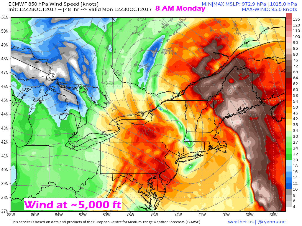
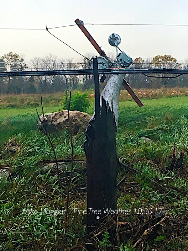
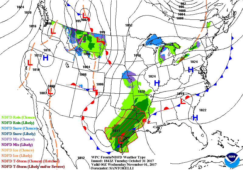
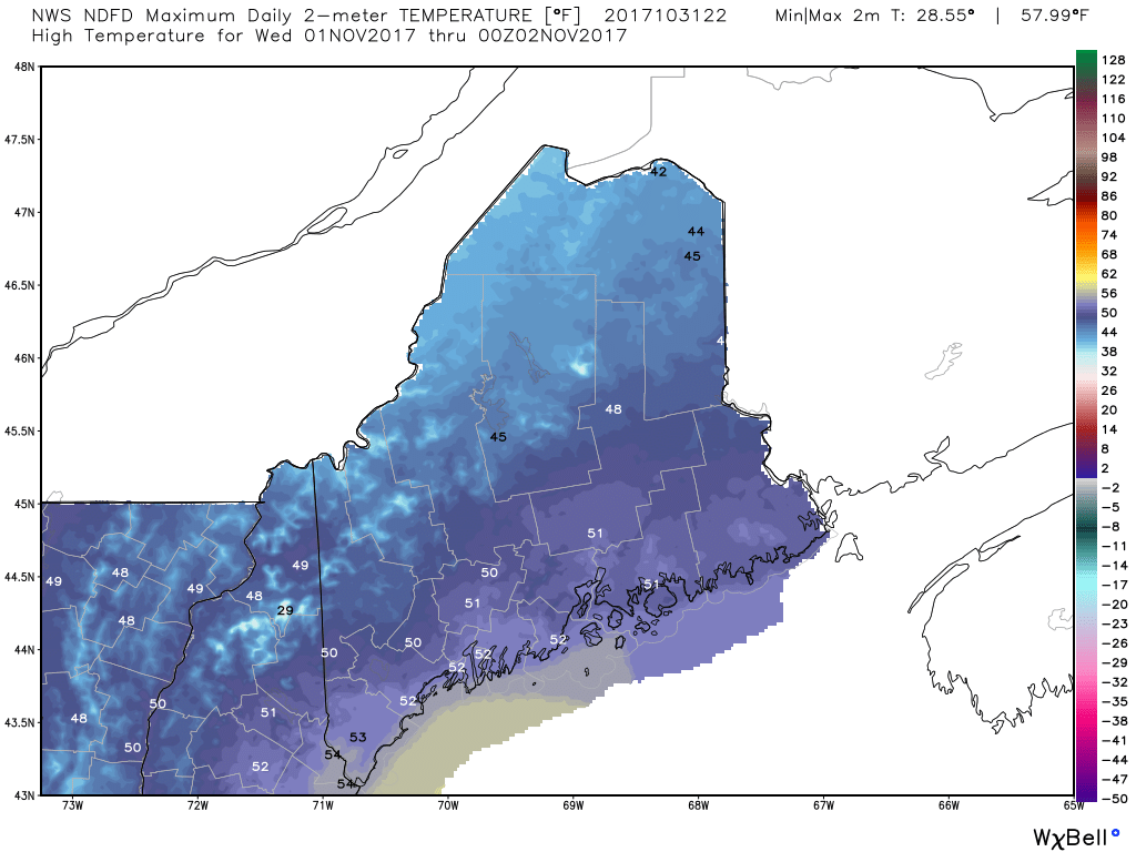
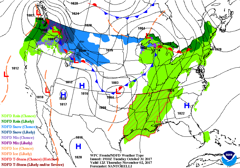
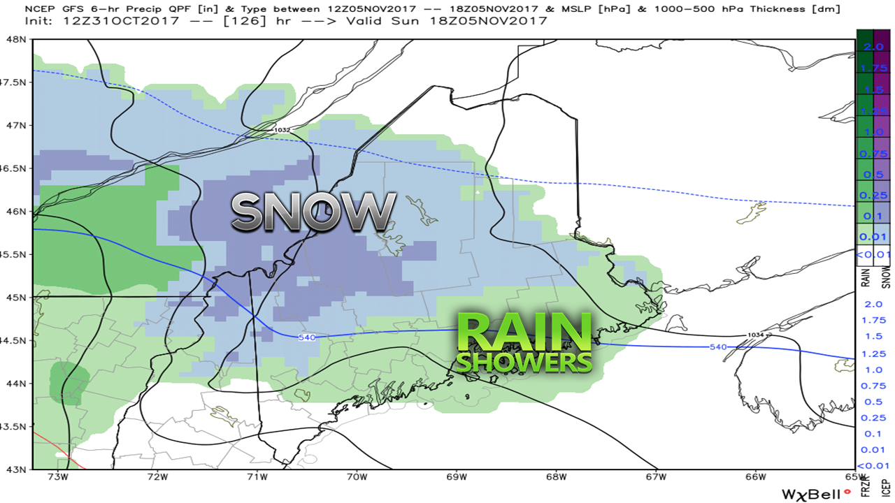
Big Wind, Big RecoveryImpressive wind speeds posted by NWS Gray and NWS Caribou offices. I had an idea that Matinicus Rock in Penobscot Bay would likely come in with the highest gust below Mount Washington, and it certainly did not let me down. Outside the 92 mph reading there, Isle of Shoals offshore of Kittery/Portsmouth clocked an 82 mph gust. A couple of isolated 70 mph readings were recorded on land in Augusta and South Bristol). Quite a few areas hit the 50-69 mph level, with Portland recording the latter number. The southeast wind is no friend to Maine and the Northeast. This storm will be talked about for many years to come. The recovery effort is continuing. Central Maine Power has restored power to more than 100,000 . Emera Maine is making progress in eastern and northern areas, and posted a timeline to when people can expect to be back online. At the time of this post, 331,308 electricity customers were still in the dark. Both utilities think it will be Saturday into early next week before most are back online, and for some in remote areas or on short lines, it could take 2-3 weeks. Weather Outlook Through Early Next WeekHigh pressure has nosed its way into the northeast, which will help with the recovery efforts. Wind will drop down to light at best for Wednesday. With the big gains made by the electric companies on Tuesday, there is hope the outage number declines by another solid level by Wednesday night. High temperatures for Wednesday are right where they should be for this time of the year. High pressure provides a mainly sunny sky, and little breeze. The pattern becomes unsettled for Thursday into Friday, which may hamper restoration a bit. Showers are in the forecast for both days, and temperatures rise 10-15 degrees above normal again. After a cold front passes through, a northwest breeze picks up that will continue into Saturday morning. High pressure moves in briefly before another frontal boundary approaches Sunday. The GFS model shown here is an outlier for now, but the Euro model trended cooler in the 12z suite Tuesday afternoon in regards to Sunday. I am certainly not saying that plows and shovels will be needed just yet. I will say there is chance for some light snow changing to rain for the mountains and north Sunday. Showers appear to linger into Monday. Once the cold front passes through Monday night, early morning flurries are possible Tuesday for the north country, and a stray rain shower for southern and eastern areas. It is the season.
I will update on this. A special thank you for all of the shares and recent reviews for those who follow on Facebook. I am reminded as to why I started this entity with Western Maine Weather years ago. Folks in the rural areas need a voice in weather in this state as often times it's always the more populated areas that get the best coverage. I will not forget you, whether you are in Rangeley, Stratton, Greenville, Clayton Lake or whatever small town you live in. You have my word. Check the 7-Day Outlook page for the forecast. - Mike |
Mike Haggett
|

