
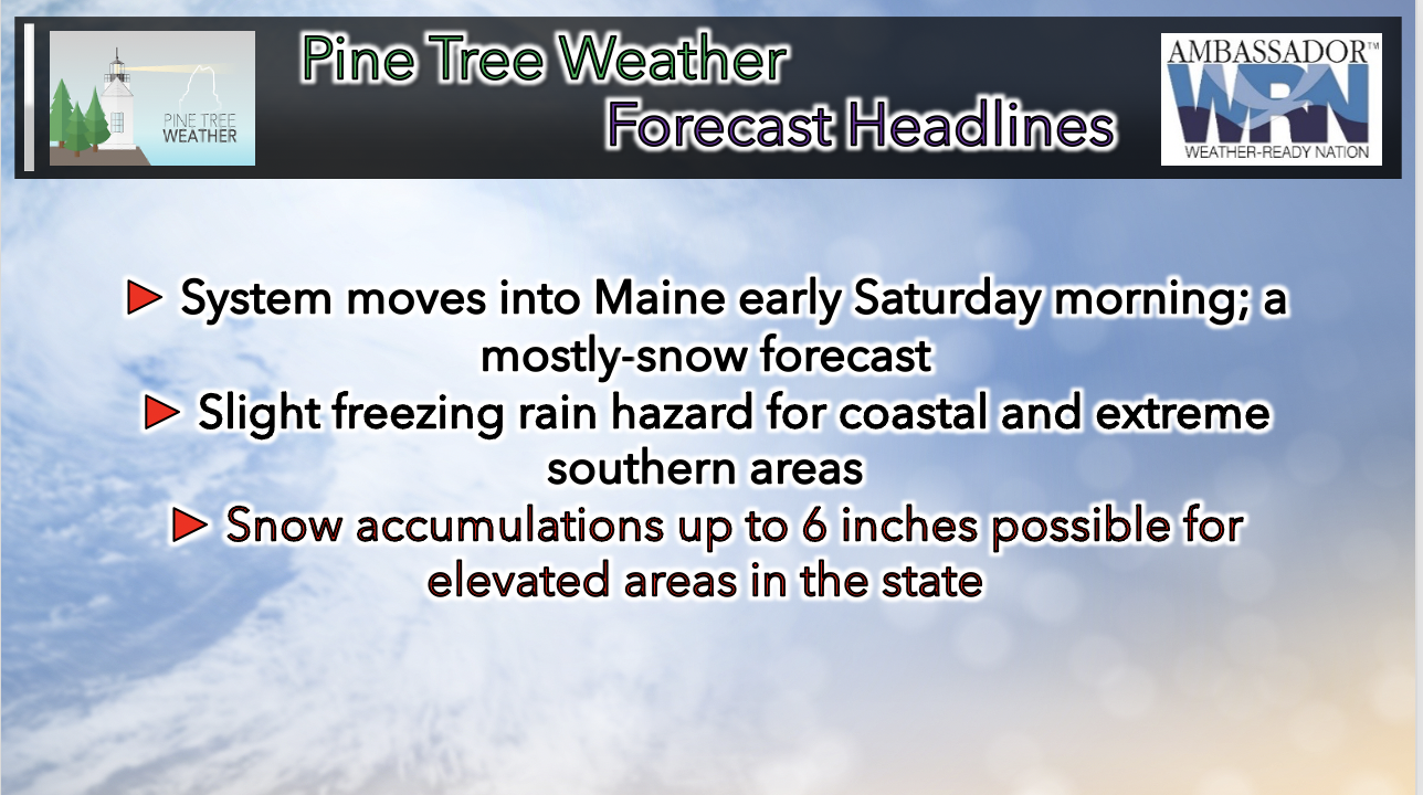
 Saturday's storm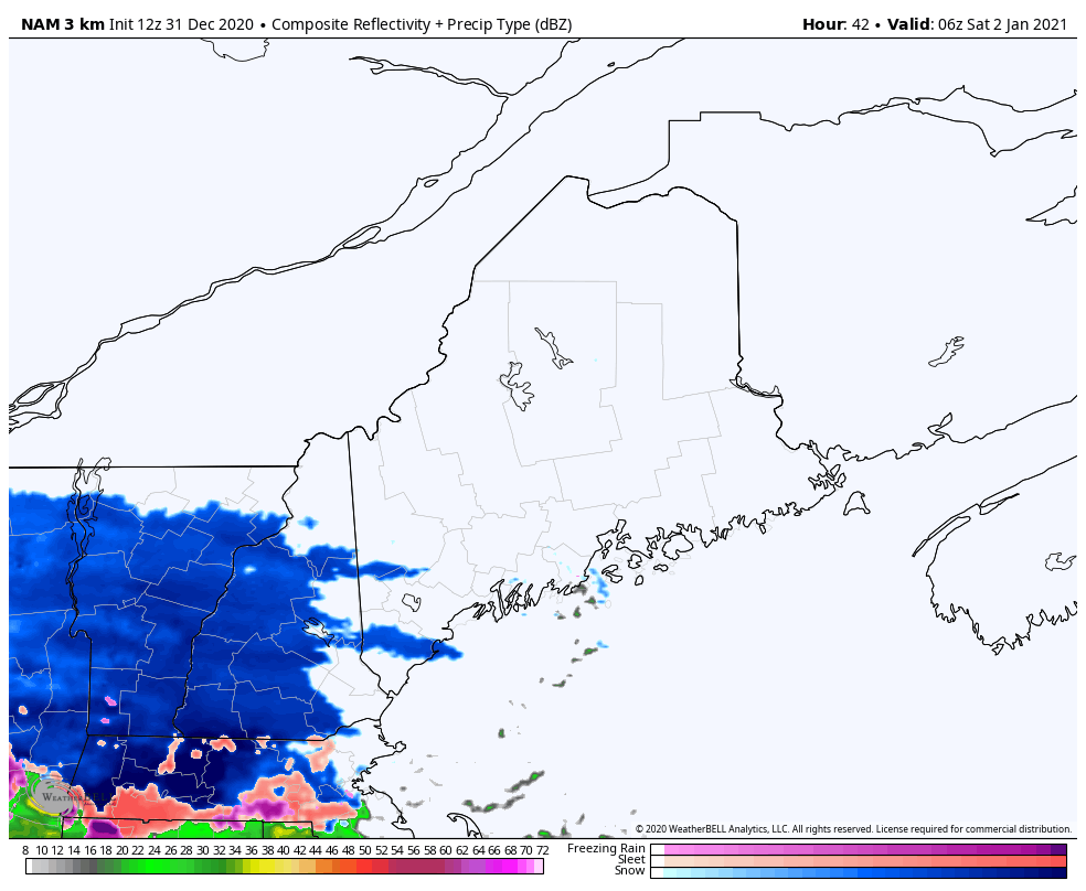 Numerical models have begun to agree on the timing of the storm's arrival as well as the snow accumulations that it can potentially bring. The arrival of the storm looks to begin around 1 AM on Saturday for western regions, run its course through the day, and end sometime in the early morning hours of Sunday for eastern regions. This event appears to be a mostly-snow forecast, with potential freezing rain hazards for coastal and extreme southern areas of Maine as temperatures balance on the 32 degrees Fahrenheit line. 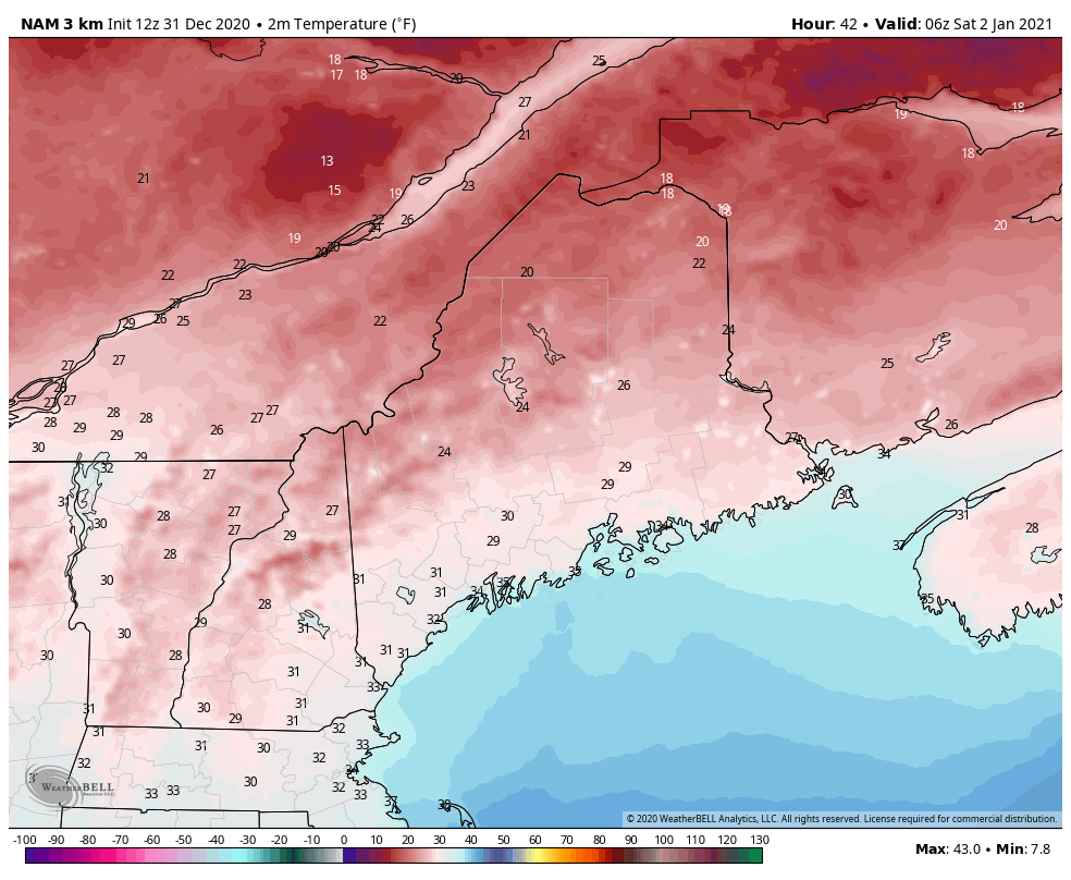 The progression of the forecast for the system has changed quite a bit. Models tend to agree that the storm's center of pressure will be south enough to incorporate cold Canadian air and keep the cold temperatures below 32 degrees Fahrenheit throughout the troposphere to allow a more snowy forecast than before. 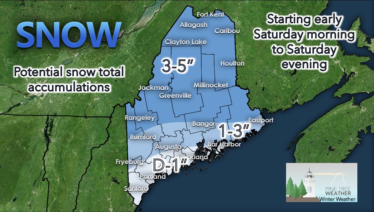 Snow accumulations are expected to be heaviest in the northern portions of Maine and higher elevations. Higher elevations have a possibility to reach 6 inches of snow (and possibly higher). Most of Maine is looking to receive 3 to 5 inches of snow, decreasing with chance as you go south or if the area you live in is at a lower elevation. Commuting in Winter Weather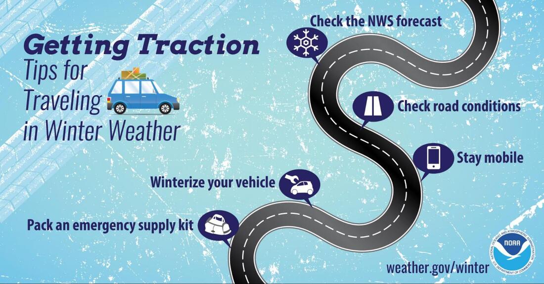 Winter has only just begun as we head into the new year! Make sure you're prepared for dangerous road conditions this season. Check out www.weather.gov/safety/winter so you can check road conditions and the forecast before heading out on the road! Be prepared to receive alerts and stay updated!
For more information, please follow Pine Tree Weather on Facebook and Twitter.
** FUNDING NEEDED FOR 2021 ** Thank you for supporting this community based weather information source that is funded by your financial contributions. Stay updated, stay on alert, and stay safe! Have a happy and safe new year! - Kaitlyn |

Mike Haggett
|


