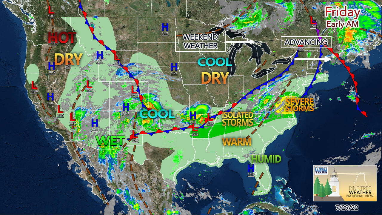
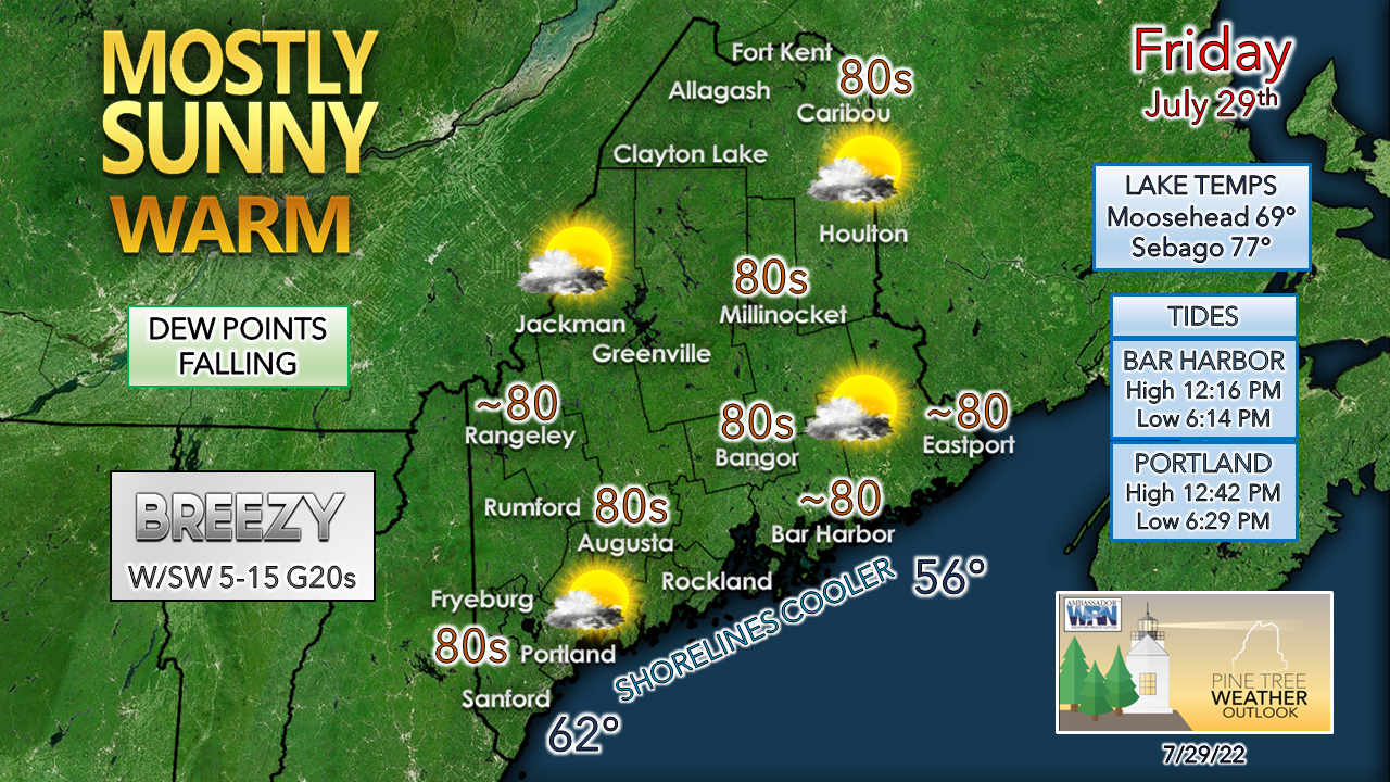
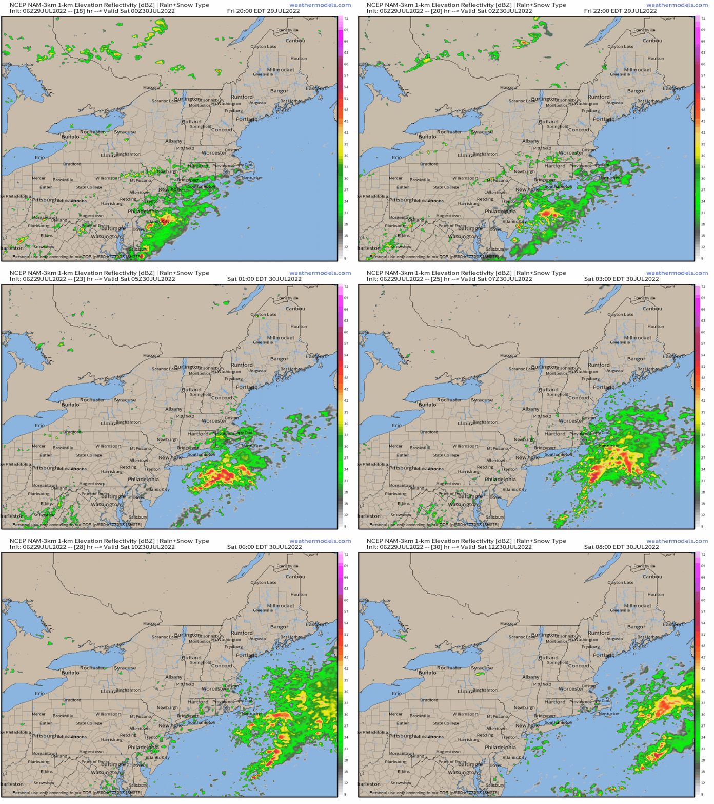
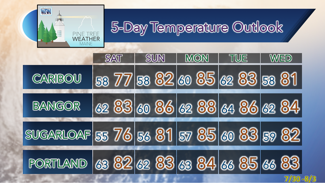
A pair of cold fronts passing throughThe postmortem on Thursday's rain and storms showed some wind damage in New Hampshire and interior areas of the state getting flash flooding rain from training cells. For those fortunate to get rain, it will dry out during the day as a high pressure over the Midwest advances eastward. The second and weaker cold front passes through later in the day and stalls out over the Gulf of Maine Friday night. The early birds heading out may see some areas of fog in areas the received rain overnight. That will dissipate by mid-morning as a westerly breeze begins to pick up and brings drier air into the area. Dew points drop for most areas to comfortable levels by noon, allowing to open the windows and freshen the indoor air. Temperatures are expected to be a bit on the warm side, but with lower humidity levels the heat may not be noticed by most. A slight chance of a shower for the shorelines |
Mike Haggett
|

