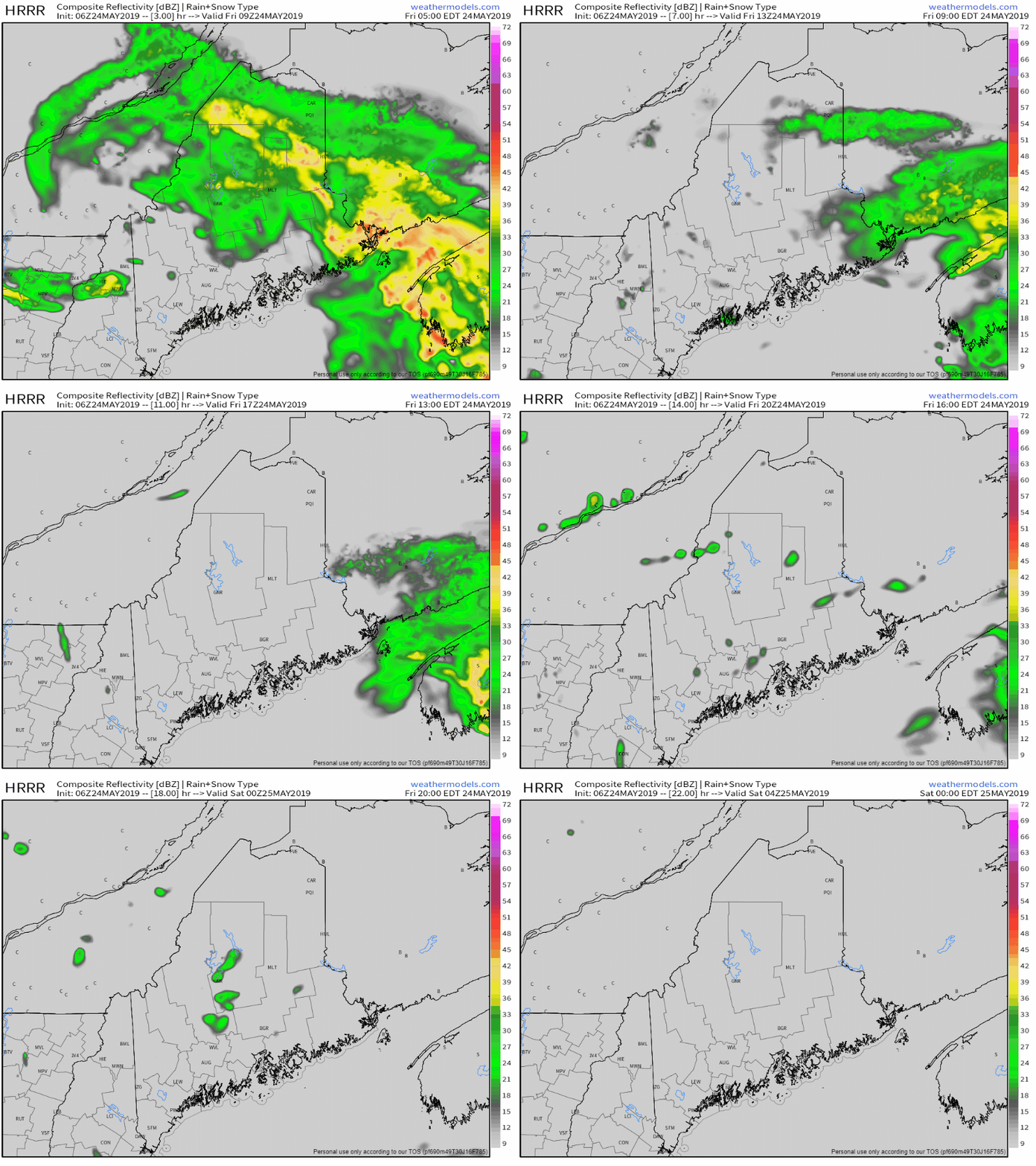
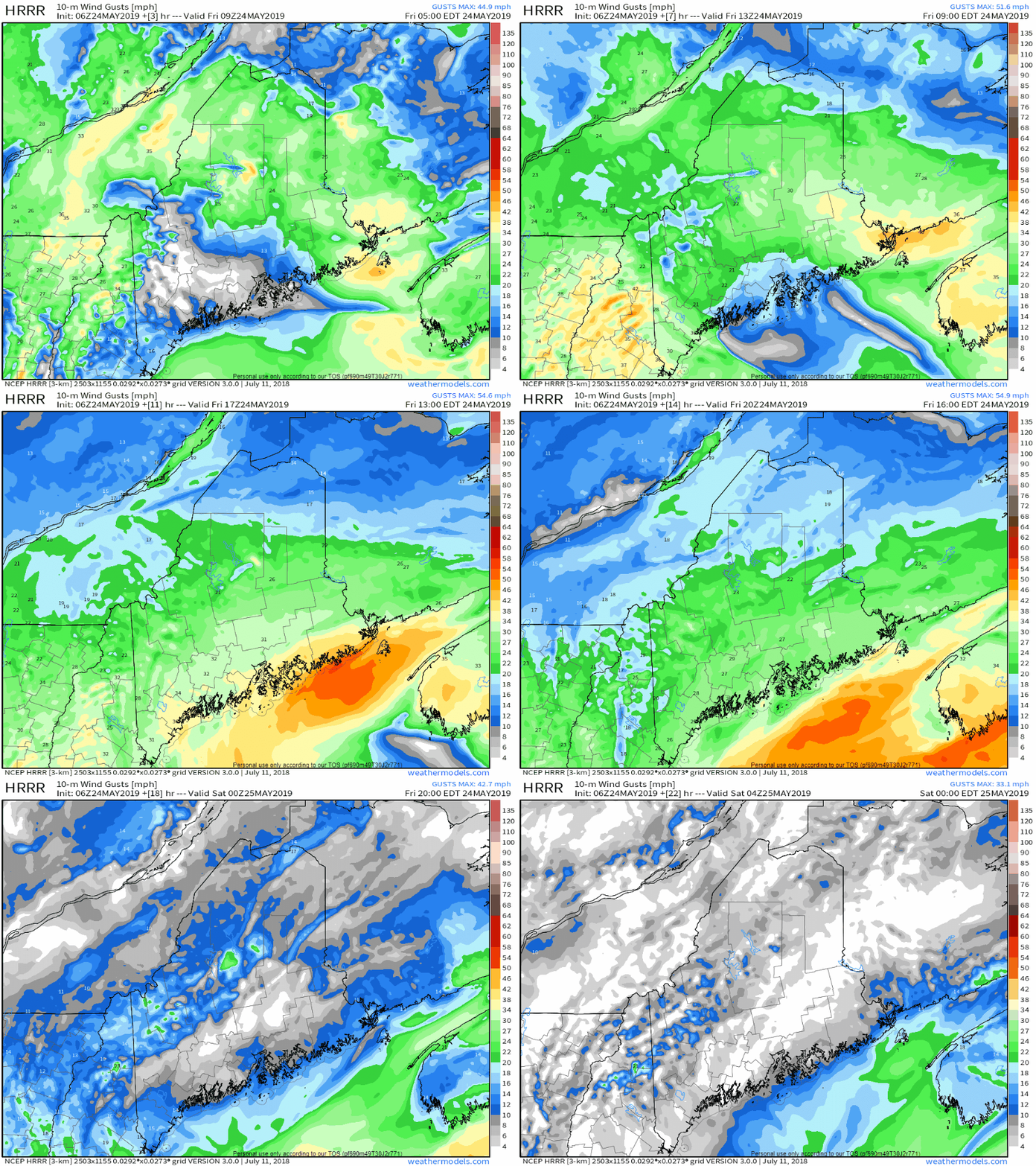
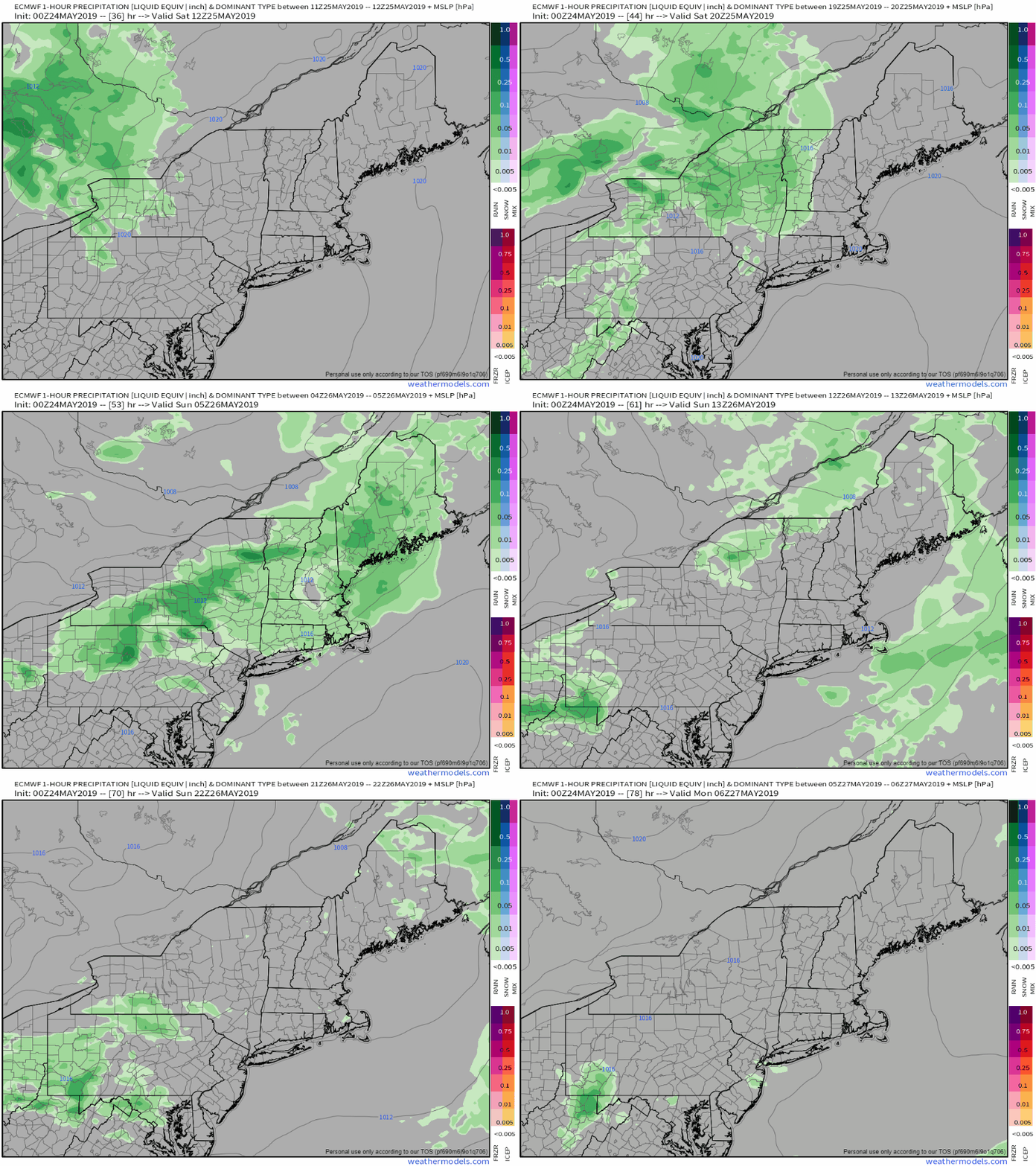
Showers clear out, wind picks up FridayShowers end from west to east Friday morning. While the surface low departs, the upper level low appears to be a bit slow in moving out. That will cause for varying amounts of clouds, with a chance for a sprinkle or spot shower through this evening. Pockets of dense fog are possible this morning, but should clear out around mid-morning. As the surface low departs, it will intensify as it heads into Atlantic Canada. Northerly winds increase bring Flying Trash Can Alert levels with gusts reaching 40 mph in areas through tonight. As the low moves eastward, wind will taper off into the overnight. High temperatures for the day appear to be around 60° statewide, coolest along the DownEast shores where 50s are likely. Unsettled Saturday afternoon through Sunday eveningSaturday starts off mostly sunny for the state, with clouds on the increase through the day. Showers associated with a warm front are likely to break out in the late afternoon for western and southern areas, early to mid-evening for northern and eastern areas. Showers will continue overnight into early Sunday. After the warm front passes through, southern areas could see an uptick in humidity, which may be in the form of fog in areas to start off. A cold front approaches the area Sunday afternoon, which will bring another round of showers statewide and possibly a thunderstorm for western and southern areas through late afternoon. At this point, any severe weather threat Sunday is very low. Memorial Day is on track to be a nice one, with sun and seasonable temperatures. Regional outlook through midweekShowers return to all but northern areas of the state on Tuesday as low pressure passes through western New England. A long wave frontal boundary approaches the region on Wednesday, which may bring an afternoon shower for western and southern areas. Thursday appears to be a wet one as that frontal boundary passes through the area.
► ► For the latest official forecasts, bulletins and advisories, please check in with the National Weather Service in Gray for western and southern areas, or Caribou for northern and eastern parts of Maine. ► ► Your financial donations are much appreciated to keep this site funded and for further development. I sincerely appreciate your support not only financially, but also in sharing my efforts with others. For more information from me, please check the Pine Tree Weather Facebook page as well as my Twitter feed. Always stay weather aware! - Mike |
Mike Haggett
|


