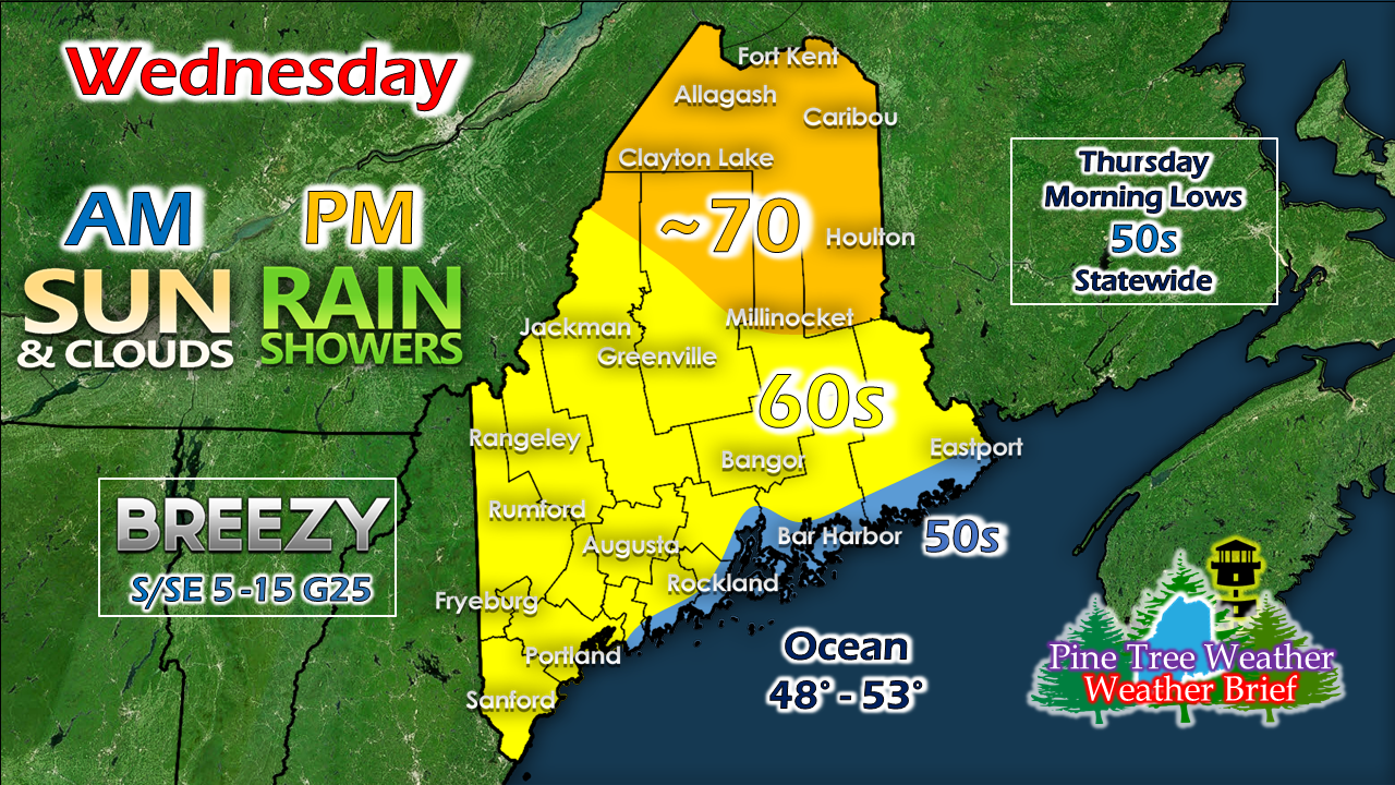
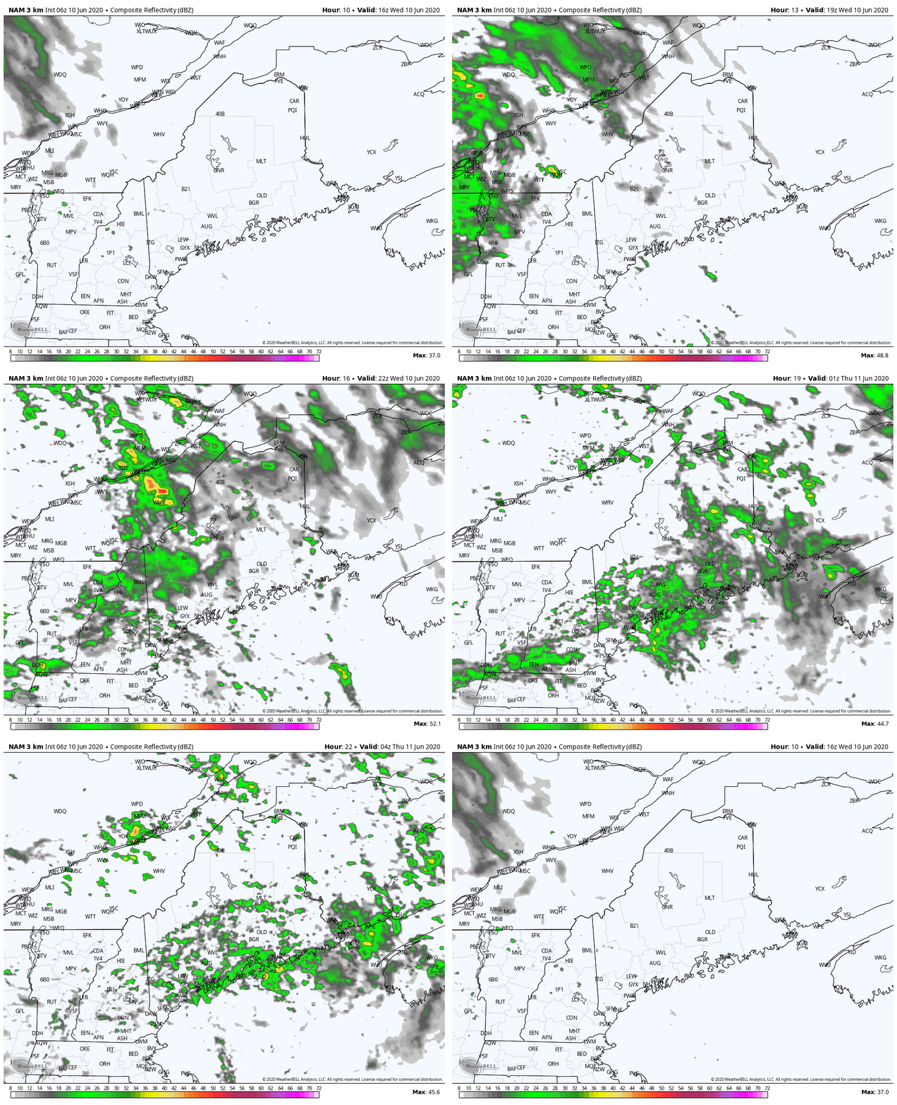
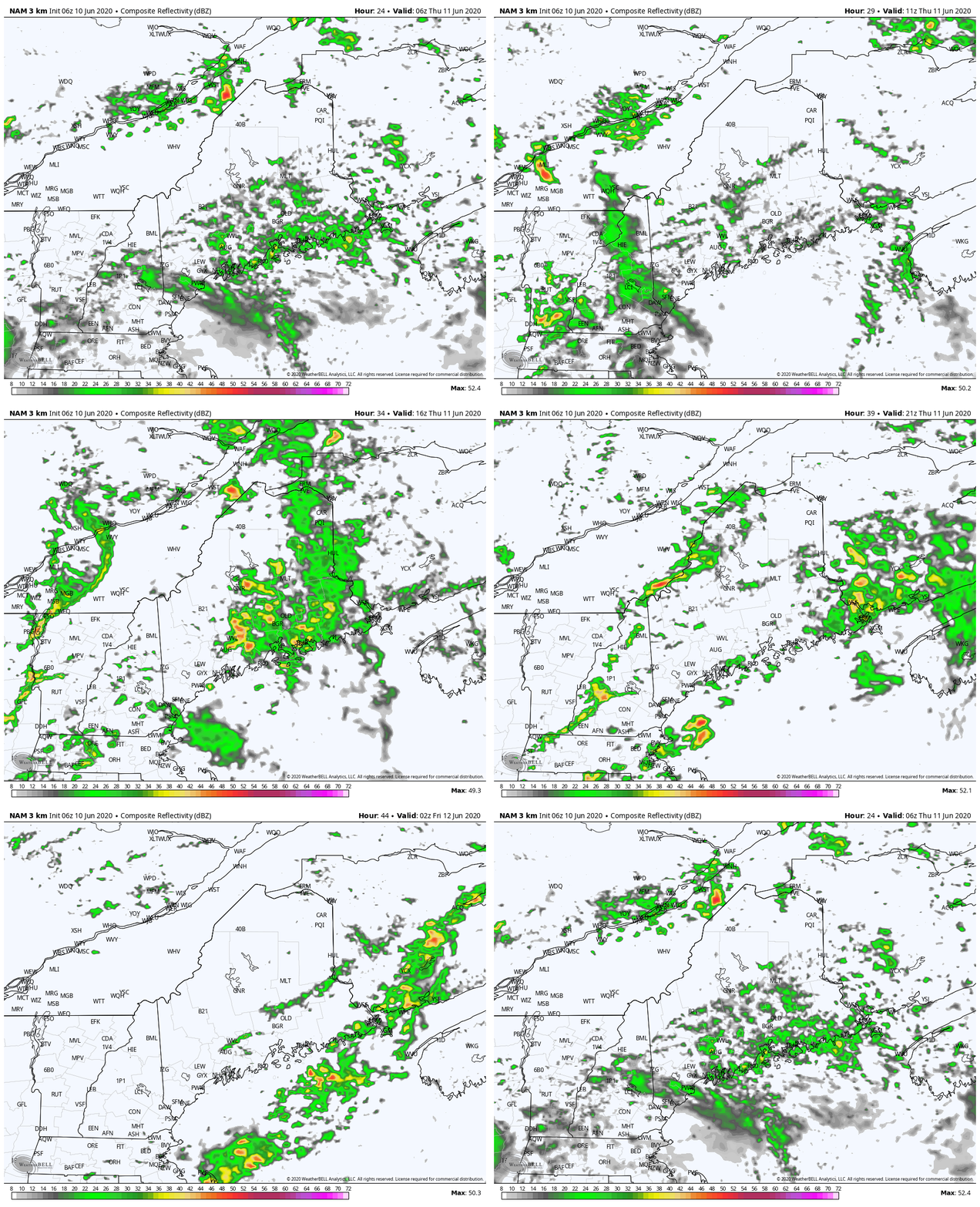
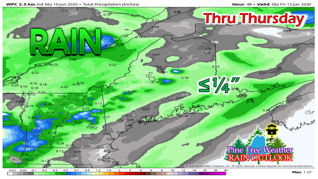
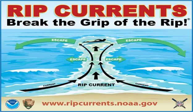
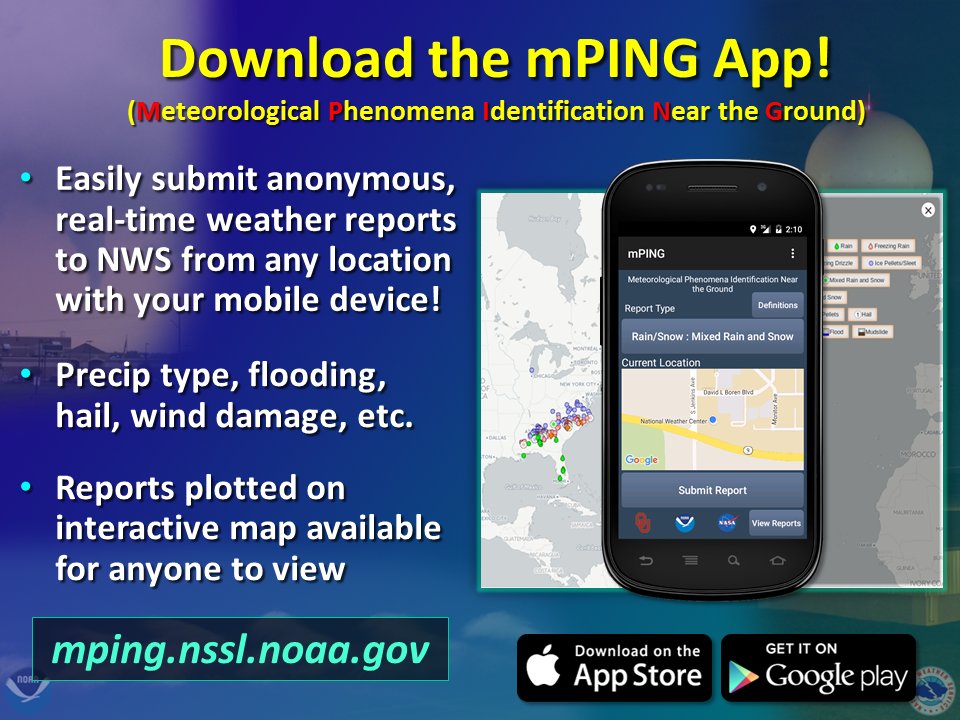
Not much rain, but it's somethingWednesday starts off with clouds around associated with the upper level ridge to the west and remnants of Cristobal moving through the Great Lakes. This moves east. After a dry start, areas of light showers and drizzle begin to develop this afternoon, and areas of fog develop tonight. As the ridge moves east, south / southeasterly winds develop, which will cool the shorelines and bring warmer temperatures to northern areas where the sun has a better chance to stay out. With the southeast wind flow, this helps to bring moisture from the ocean into the approaching front, which will help produce light shower and drizzle over the region this afternoon into tonight. Expect areas fog to develop in areas overnight into Thursday morning. The front slowly progresses through the region on Thursday. If the sun can get out, that may be enough to spark some instability to touch off an isolated thunderstorm or two. Otherwise, it will be pot luck showers and sprinkles through the duration of the event through Thursday night. The higher elevations may squeeze out a half inch out of this. For most areas, it will be a quarter inch or less. With the chance for a thunderstorm or heavier shower developing, localized amounts may be higher. Rip current threat increases ThursdayWhile it won't exactly be a beach day on Thursday, the threat for rip currents will exist as wave activity increases to the 5-7' range as the front passes through. With summer fast approaching, it's always important to stay up to date with the forecast and understand potential seaside threats. For more information, click on the image above to direct you to rip current saftey tips. Help forecast verification, and stay informed!
For more information, please follow Pine Tree Weather on Facebook and Twitter.
Thank you for supporting this community based weather information source that is funded by your financial contributions. Enjoy the day! - Mike |
Mike Haggett
|

