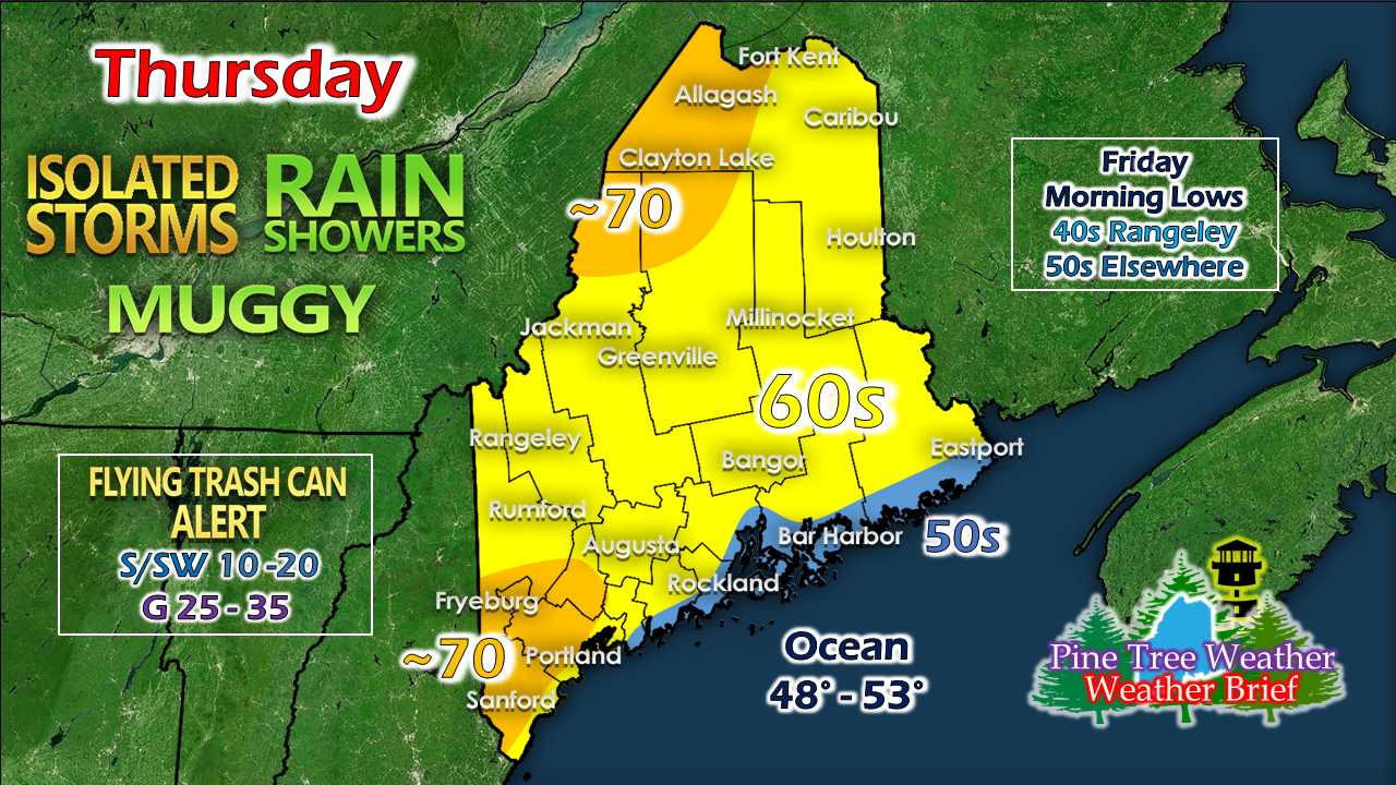
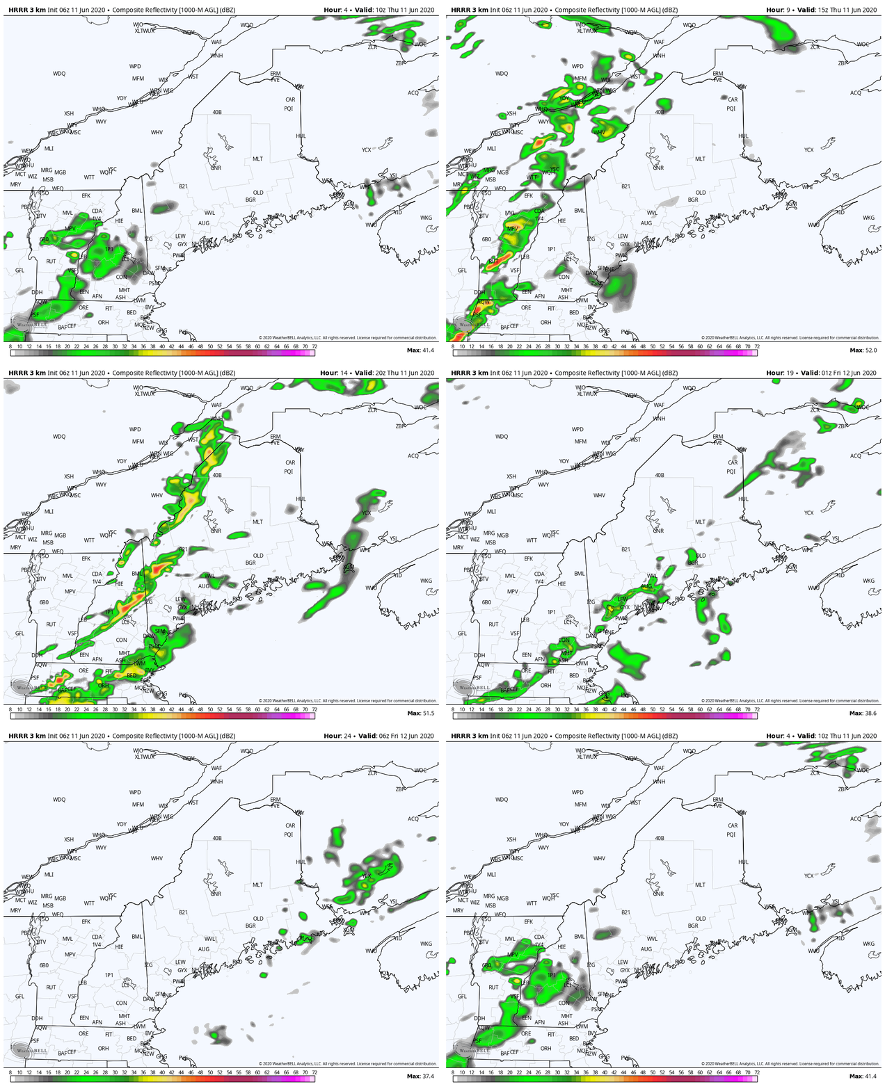
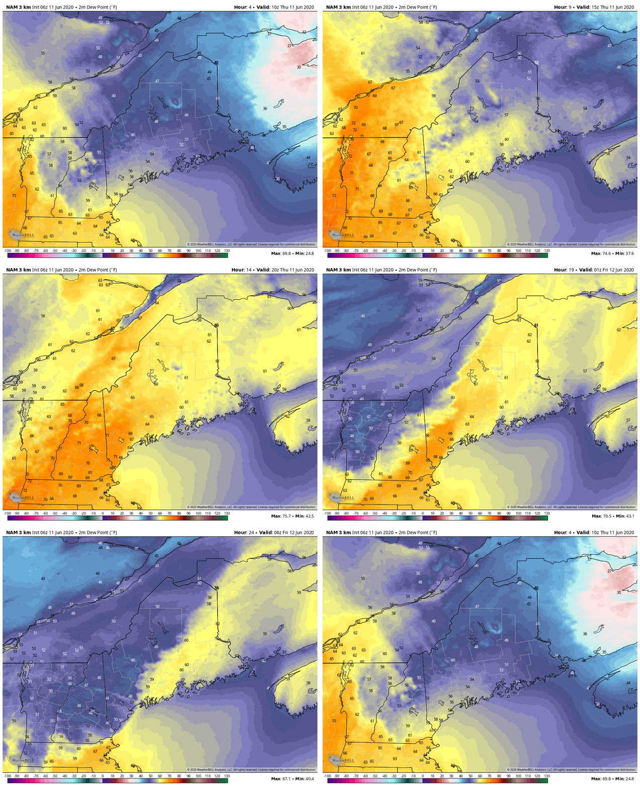
Cristobal remnants slide throughThe showers and storms appear to be the pot luck variety. Some areas will get them, others will not. This is the pattern we are in. It's going to stay that way for a while. I know for you gardeners and farmers, that may not be what you want to hear. Folks who depend on groundwater supplies may want to consider conservation. There is no widespread soaker in sight, and it may be a dry summer, or at least for the start anyway. Folks with trash pick up today may find their cans on their sides at time of retrieval. It may not be a bad idea to secure any loose items that could go airborne. With the front which brings tropical characteristics, comes the threat for gusty winds. Power outages aren't likely, but the breeze could be strong enough at times to blow things around through this evening. Areas experiencing fog to start off should see that burn off by mid-morning as the front approaches the area. The best chance for severe storms is in New Hampshire. I can't rule out a fiesty storm for the western mountains, but the forecast parameters aren't great. Showers end tonight, and the sky begins to clear out by morning. With the tropical influence comes a rise in humidity levels. It could get rather humid for a few hours over southwestern areas this afternoon into the evening. As the front passes through, dew points fall back into the 40s and 50s by Friday morning. Friday looks good with a mainly sunny sky. Highs range from the 70s to low 80s, a bit cooler for the shorelines as the sea breeze picks up. Dew points will be comfortable in the 50s. Help forecast verification, and stay informed!
For more information, please follow Pine Tree Weather on Facebook and Twitter.
Thank you for supporting this community based weather information source that is funded by your financial contributions. Stay updated, stay on alert, and stay safe! - Mike |
Mike Haggett
|

