Pine Tree Weather
  • DISCUSSIONS
  • DONATE
  • MAPS
  • NWS BRIEFINGS
  • SATRAD
  • MARINE
  • SNOW / ICE OUTLOOK
  • RAIN OUTLOOK
  • CPC OUTLOOK
  • Kennebunk
  • OBSERVING WEATHER
  • Who We Are
  • My Photography
  • DISCUSSIONS
  • DONATE
  • MAPS
  • NWS BRIEFINGS
  • SATRAD
  • MARINE
  • SNOW / ICE OUTLOOK
  • RAIN OUTLOOK
  • CPC OUTLOOK
  • Kennebunk
  • OBSERVING WEATHER
  • Who We Are
  • My Photography

A dry but cool weekend ahead; showers return for the first half of the week

6/1/2018

Comments


Saturday starts off with areas of fog

Picture
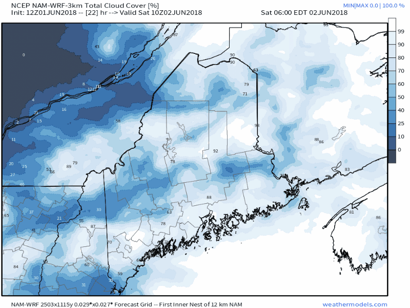
For those early risers who want to get a jump on the weekend activities, expect areas of fog that could be locally dense in spots in the morning. As the post-dawn hours progress, the sky will clear out, which will make for a mostly sunny afternoon with less humidity and near seasonable temperatures. 

But it will be a breezy one...

Picture
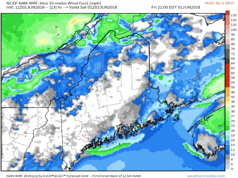
As the clouds decrease, the wind gusts will increase out of the west northwest as high pressure moves into the region. It appears to be breezy for much of the region through the day on Saturday, settling down during the day on Sunday. 

Folks heading out on lakes and ocean for a boat trip can expect some chop on the water which may make it a bit rough. Folks in smaller vessels should use caution. Sunday appears to be the better watercraft day. 

Showers return for the start of the week

Picture
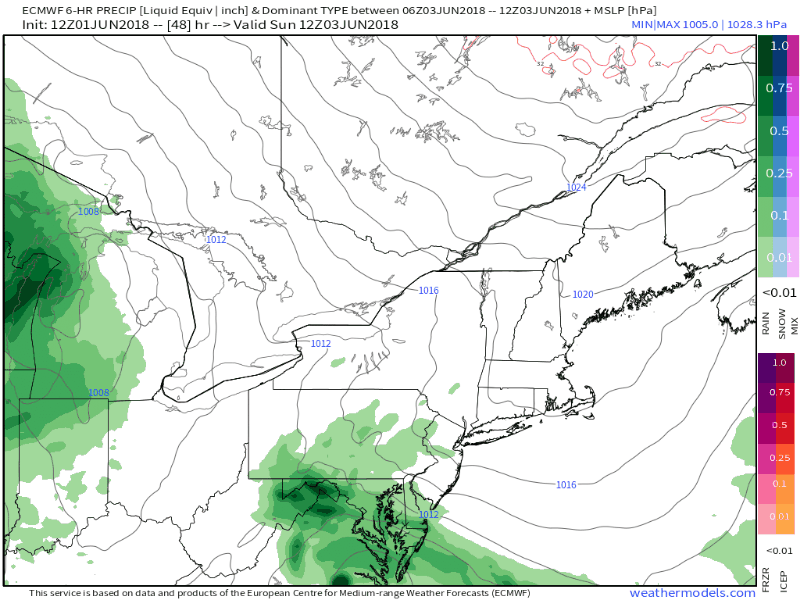
Clouds begin to increase Sunday evening ahead of a weak warm front approaching from the west. Showers can be expected to break out from west to east on Monday. A trailing cold front keeps showers in the forecast for Tuesday. Low pressure forming off the Mid-Atlantic brings the threat for showers, drizzle and perhaps fog for the shorelines on Wednesday.  After a dry day on Thursday, another frontal boundary approaches the region on Friday. 

5-Day Outlook through Wednesday

Picture
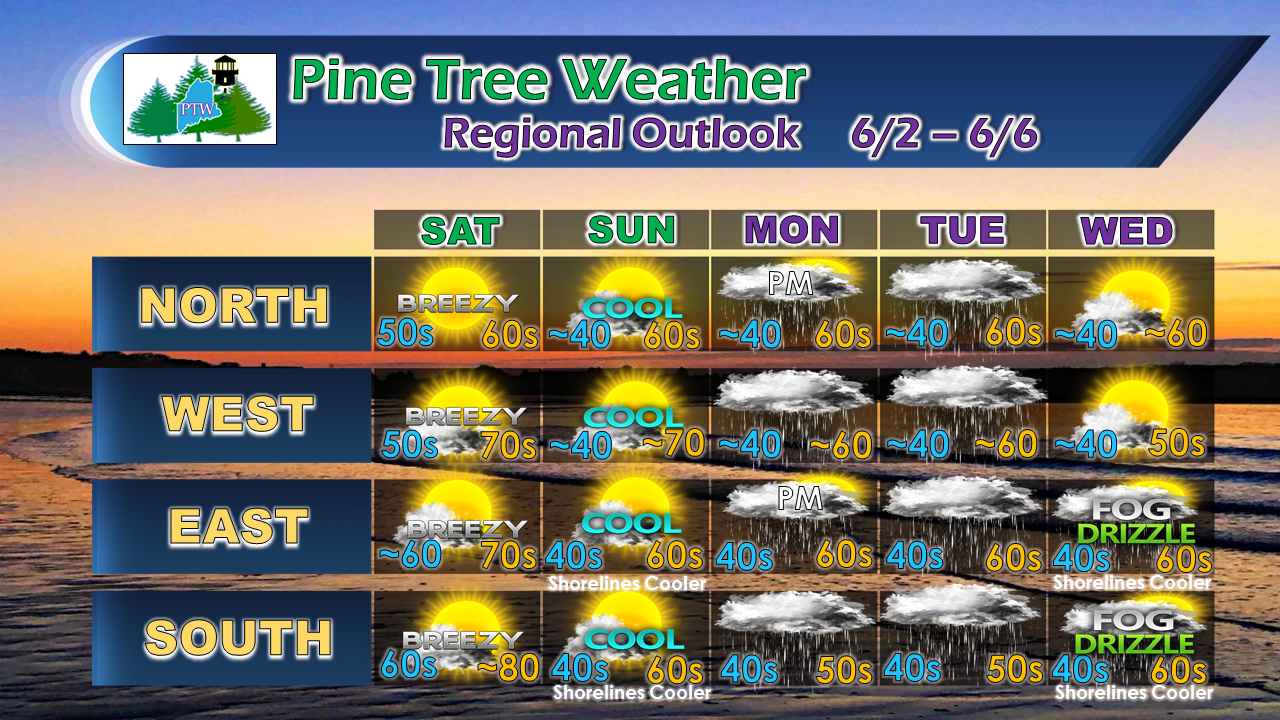
Temperatures certainly appear on the cool side from Sunday onward. Folks in the mountains and north in protected areas may see some frost Sunday and Monday morning, but that is likely to be isolated at best. While it will be showery off and on through midweek, there is not a whole lot of accumulating rainfall expected. 

For the latest official forecast information and bulletins, please check out NWS Gray for western and southern areas, and NWS Caribou for eastern and northern areas.

I will be taking the weekend off. My next update will come on Monday.

Have a great weekend, everyone!

- Mike 
Comments
    Picture

    Mike Haggett
    Kennebunk, ME

    Certified Weather
    Forecaster
    Penn State '21

    American Meteorological Society

    National Weather Association

    Weather-Ready Nation 
    Ambassador
    ​
    ​SKYWARN-CWOP

    Matthew 19:26


    Support
    Pine Tree Weather

    DONATE

    Picture

    Picture

    Picture

    Picture

    Picture

    Picture

    Picture

    Picture

    Picture

    Picture

    Archives

    January 2023
    December 2022
    November 2022
    October 2022
    September 2022
    August 2022
    July 2022
    June 2022
    May 2022
    April 2022
    March 2022
    February 2022
    January 2022
    December 2021
    November 2021
    October 2021
    September 2021
    August 2021
    July 2021
    June 2021
    May 2021
    April 2021
    March 2021
    February 2021
    January 2021
    December 2020
    November 2020
    October 2020
    September 2020
    August 2020
    July 2020
    June 2020
    May 2020
    April 2020
    March 2020
    February 2020
    January 2020
    December 2019
    November 2019
    October 2019
    September 2019
    August 2019
    July 2019
    June 2019
    May 2019
    April 2019
    March 2019
    February 2019
    January 2019
    December 2018
    November 2018
    October 2018
    September 2018
    August 2018
    July 2018
    June 2018
    May 2018
    April 2018
    March 2018
    February 2018
    January 2018
    December 2017
    November 2017
    October 2017

    RSS Feed

Proudly powered by Weebly