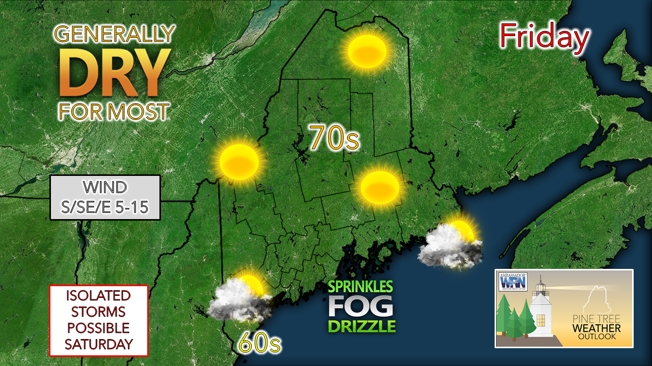
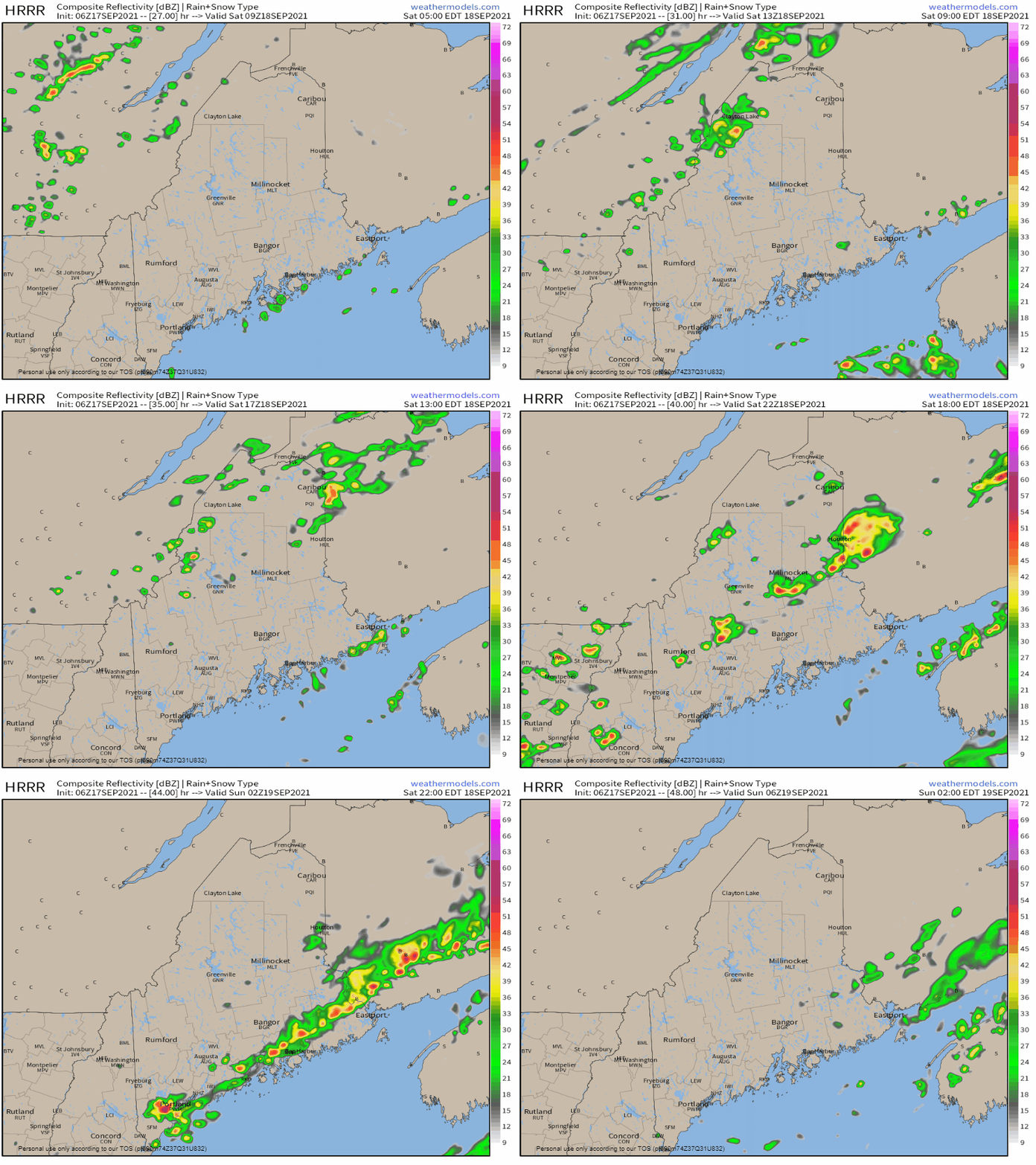
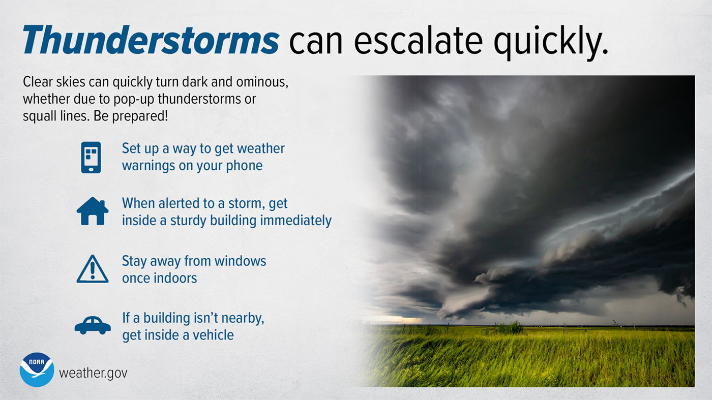
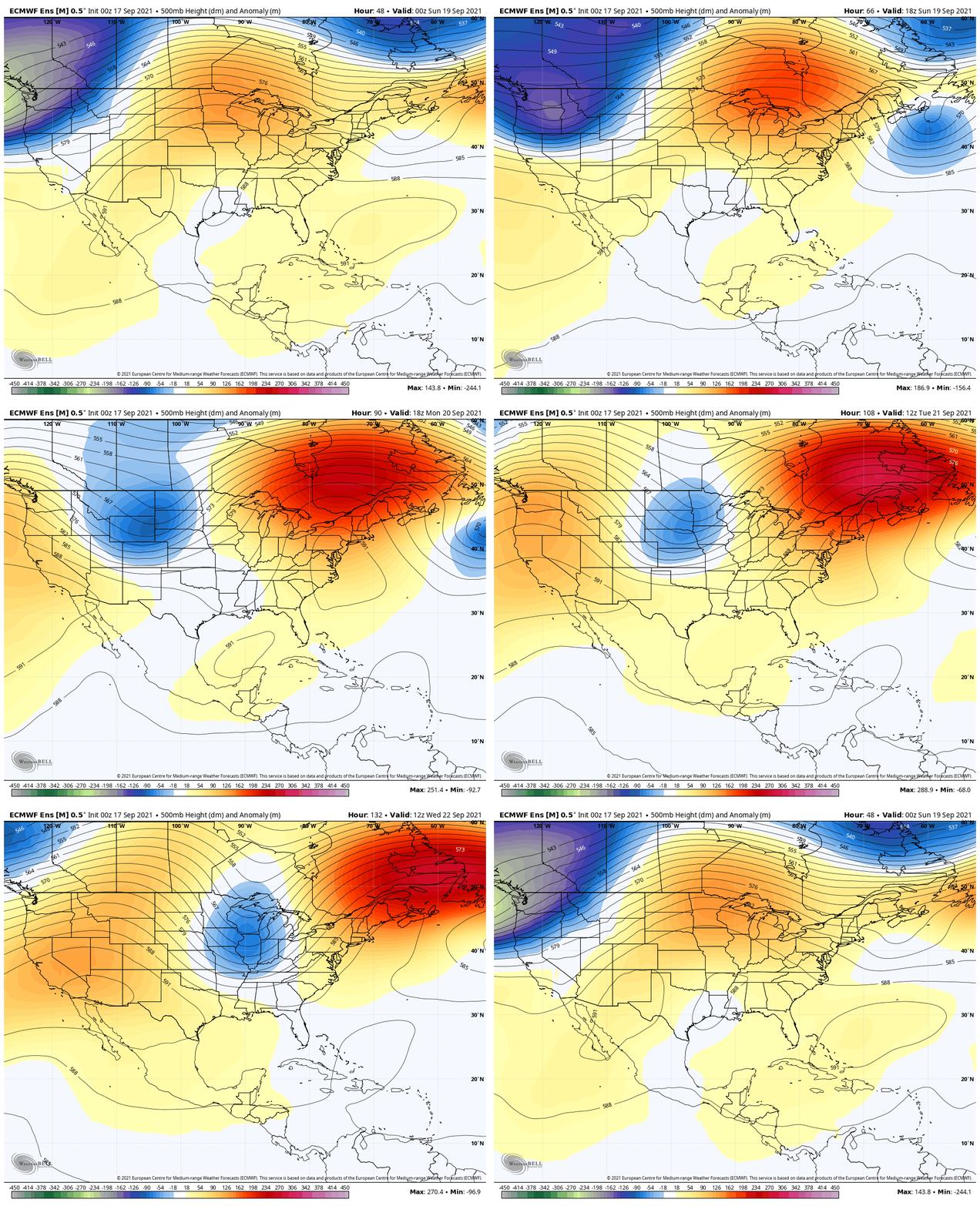
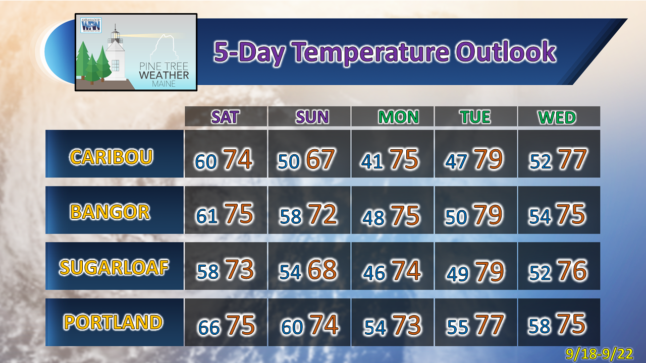
A beautiful Friday for interior areasFor the north and central areas of the state, a fine late summer day is on tap with comfortable temperatures and humidity levels. The closer to the shorelines becomes a different story. An onshore flow sets up potential for low cloud cover with a chance for a sprinkle or pockets of drizzle. Fog, which could be locally dense, appears likely to roll in later in the day into Friday night. Clouds increase over interior areas Friday night into Saturday as a cold front approaches from the northwest. A chance for storms for SaturdayNorthern areas have the best chance for a shower early on Saturday. As the front advances southeast in the afternoon, this elevates the chance for showers and isolated strong to severe storms to develop over the rest of the region through the evening, until the front clears the coast around midnight Sunday. Any storms that form could contain gusty winds, lightning, hail, and a quick downpour. Thunderstorms and squall lines can quickly turn clear skies dark. Stay Weather-Ready by having a way to get weather alerts on your phone and stay safe by immediately going inside when the skies turn threatening. weather.gov/safety/thunderstorm Outlook to start next week: quiet and warming upFrom Sunday to Tuesday, a strong upper-level ridge dominates weather for the state. At the surface, it means a strong area of high pressure takes over and brings plenty of sun and well above normal temperatures. The next chance for rain comes in the Wednesday / Thursday timeframe as an upper-level trough brings a surface cold front to the area. The timing on the arrival will be ironed out as we get closer. Far northern areas in the Allagash may see a touch of frost Monday morning. It would not surprise me at this point to see Tuesday's high temperatures reach into the low 80s. Be prepared to receive alerts and stay updated!
For more information in between posts, please follow Pine Tree Weather on Facebook and Twitter.
Thank you for supporting this community-based weather information source which operates by reader supported financial contributions. Stay updated, stay on alert, and stay safe! - Mike |
Mike Haggett
|

