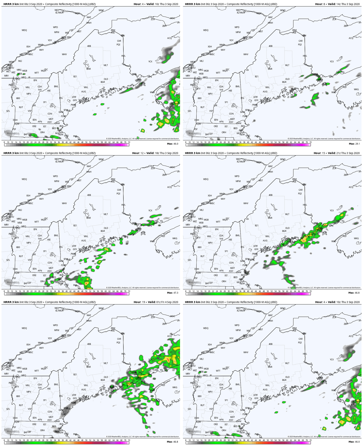
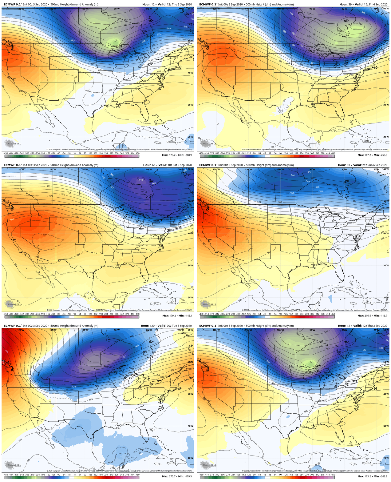
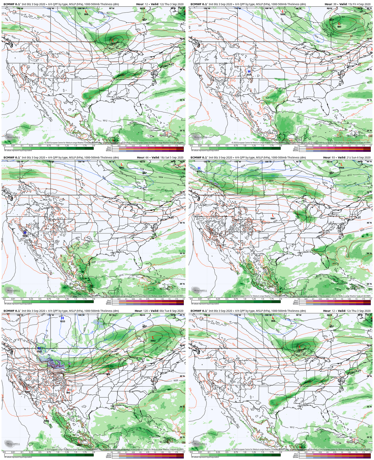
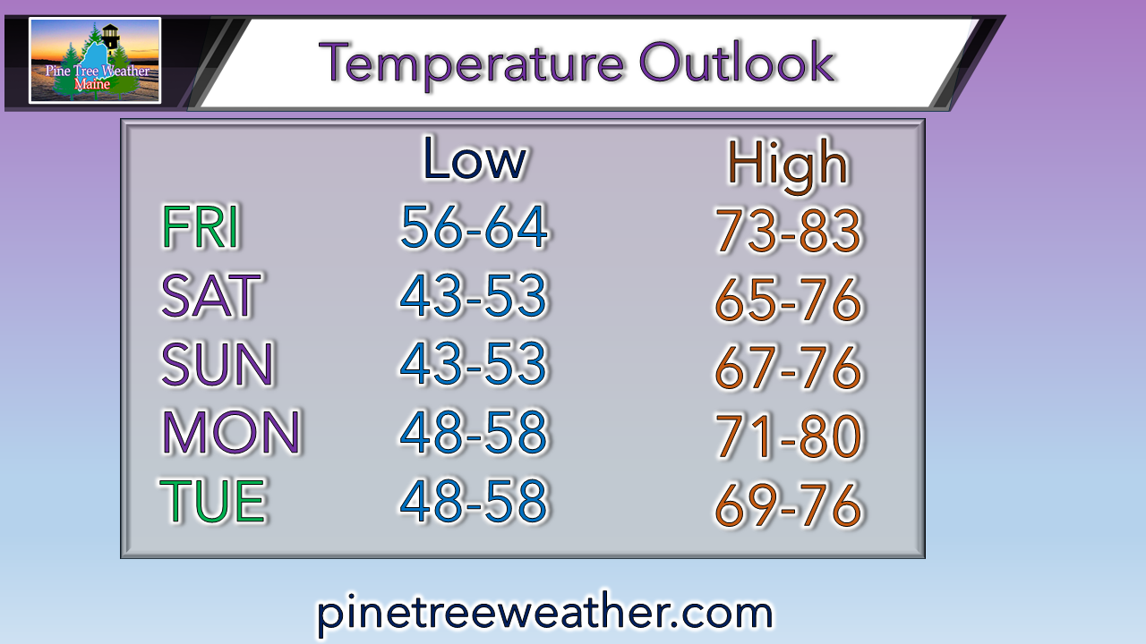
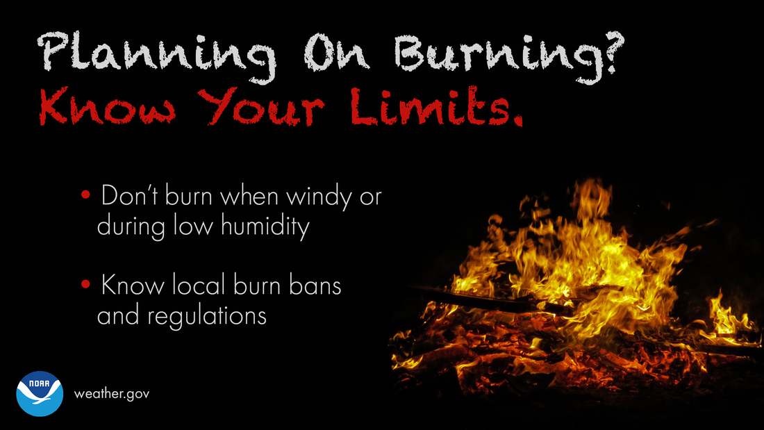
Summer begins to close outFirst off, I hope you are doing as well as you can and that you are staying healthy through this time. I want to thank those that continue to support Pine Tree Weather through donations. I've tightened my budget as much as I can to try to work through this period. My Patreon supporters and those that send me a check every month have been my financial backbone. I am still a bit short. I have bills due for the website and assorted technical items coming due in October. I have a round of data related bills due in January. A couple bucks via VENMO @PineTreeWeather would be appreciated, or you can donate monthly through Patreon or message me vie Facebook or Twitter to send a check. With over 3700 followers on Facebook and close to that on Twitter, if I had $0.50 from each of you, that would be all I need to keep going. I am in school on the third leg of my weather forecast certification process through PennState. I will do my best to update here as often as I can. You may find me erratic with updates, and this is why. Time management is a bit of a challenge right now, but it will work itself out. I have two more semesters to go. This journey continues to amaze me as I head into year nine. I sincerely appreciate your patience and support. Without you, I would not do this. A few showers for DownEast areas ThursdayFor my friends in DownEast areas, rainfall is good news for you. A stalled boundary along the shoreline and a weak impulse riding along it will bring some beneficial showers and perhaps a thunderstorm for Penobscot Bay eastward. I can't rule out a light shower for the southwest coast / MidCoast region, but the main area of moisture appears to be east of Rockland. Rain could be heavy at times in any downpours, and gusty wind is possible in any thunderstorms. It will be humid for much of the region today, and warm. Highs will range from the mid-70s for the mountains, north, and MidCoast shorelines over DownEast, to the 80s for southwestern areas on up into northeastern Aroostook. A dry cold front works through the region Friday which will get the humidity out of here. Expect a breezy day, especially in the north and mountains with wind speeds gusting at times 20-30 mph. Outlook through Labor Day WeekendA strong trough from Canada drops down into the region on Friday and controls the pattern over the weekend. The trough begins to move east on Monday. A ridge from the south noses in to start next week. With the position of the trough, Maine appears in the dry slot for much of the period. I can't rule out an afternoon shower or thunderstorm for the mountains and north on Labor Day. Other than that, dry conditions appear to hold true through most of next week. All in all, a comfortable period ahead once the humidity clears out Friday. Get outside and enjoy it as much as you can! Wildfire threats continuePlanning on burning brush? Know your limits. Even if there’s no Red Flag Warning, burning when windy or during low humidity can still be dangerous! weather.gov/safety/wildfire Stay on alert and stay updated!
For more information, please follow Pine Tree Weather on Facebook and Twitter.
Thank you for supporting this community based weather information source that is funded by your financial contributions. Stay updated, stay on alert, and stay safe! - Mike |
Mike Haggett
|


