
A few showers possible Monday night; strong storm potential Wednesday night into Thursday10/14/2019 The week ahead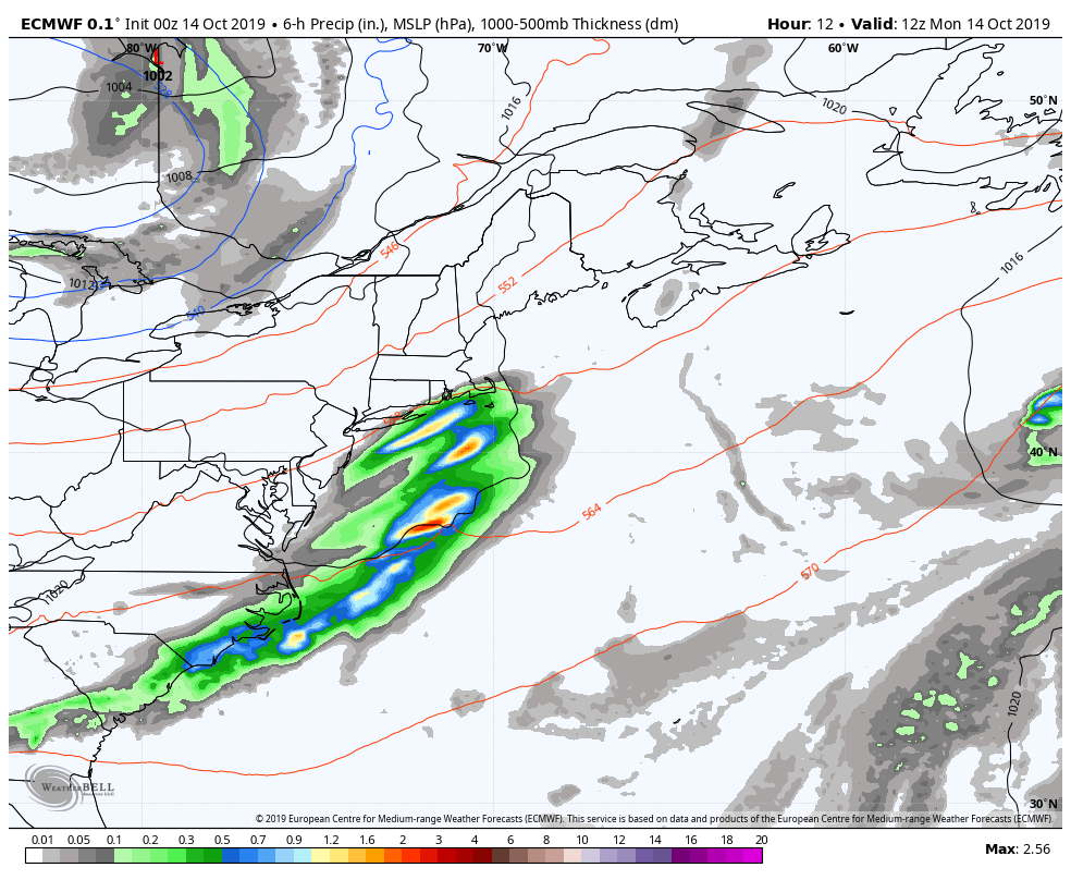 A weak cold front passes through the region Monday night. High pressure brings sun to the region Tuesday. Low pressure forms off the Mid-Atlantic coast and moves northeast Wednesday night into Thursday, bringing heavy rain and wind through early Friday. High pressure returns for the weekend. Garden variety showers overnight Monday After a mainly cloudy day with areas of fog to start Monday, a frontal boundary passes through the region Monday night and brings some light shower activity along with it. Showers end almost as quickly as they begin, and clear the area before daylight Tuesday morning. 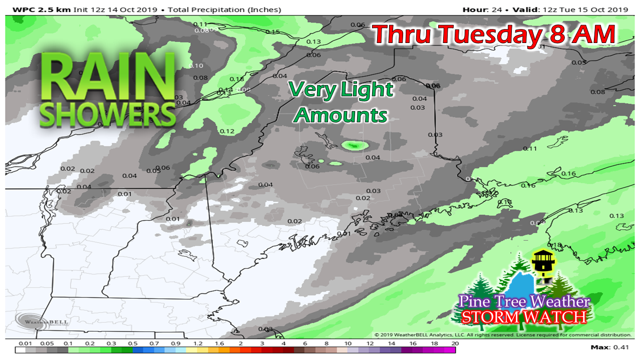 I can't rule out a chance for a sprinkle for southern areas, but any chance for measurable rainfall is over the northern two-thirds of the state, and will be light at best. Strong storm potential later this week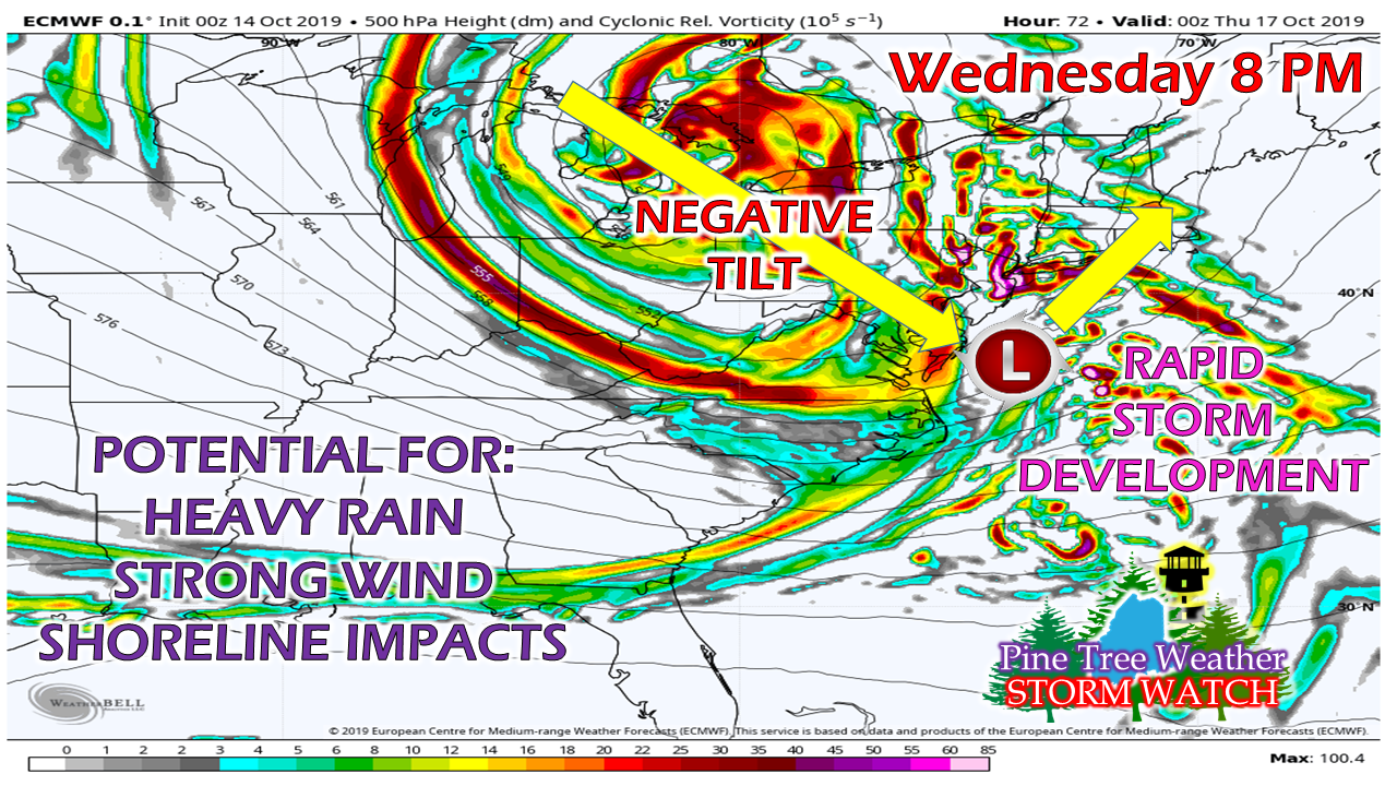 A textbook NorEaster appears to be in the offing for the region Wednesday night through Thursday. The classic negative tilt of upper level energy meets up with a southern stream of moisture. The two parts come together off the MidAtlantic coast, and a strong ocean storm rapidly develops. 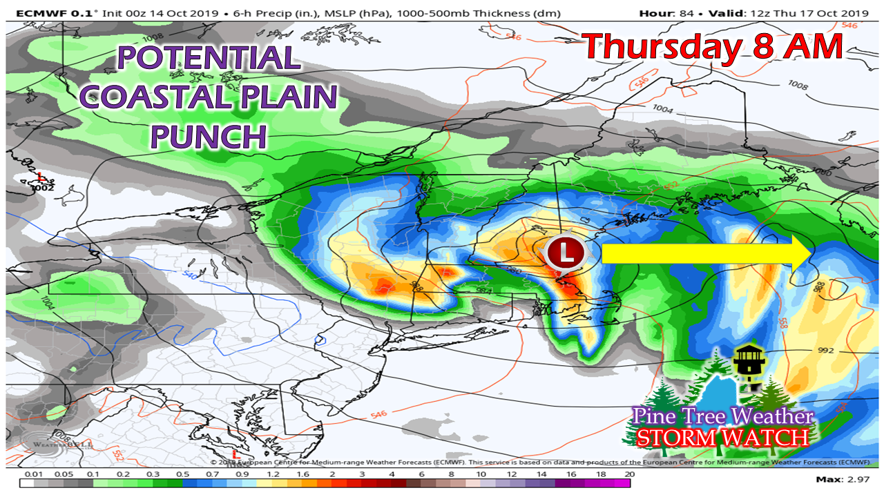 There is still some wiggle room on potential track of the storm, but guidance has been consistent on the idea of a coastal hugger since late last week. It's all a timing game with where and when the negatively tilted upper trough reaches the MidAtlantic coast and how rapidly the coastal low develops. 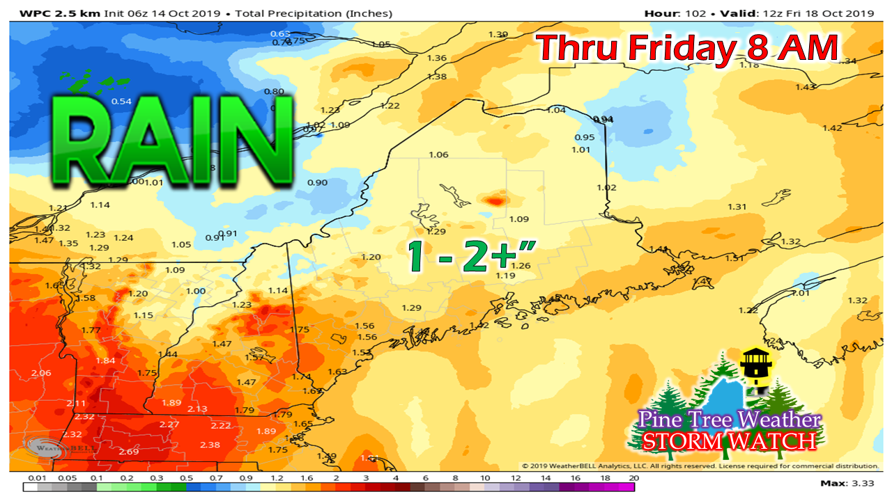 Guidance has also been consistent with the idea of 1-2" of rain potential. Given the dynamics of a rapid developing storm with a moisture hose tapped in from the tropical south, this idea is reasonable. The only thing which could occur is that the storm intensifies so quickly that dry slotting could occur, and as a result bring lesser amounts of rainfall.
This has the potential for being a leaf stripping storm. Given the fact there is still a fair amount of trees with leaf coverage along the coast, concerns for at least some spotty power outages are possible. With the full moon phasing out and low levels of astronomical impacts, that takes a bit of an edge off shoreline flooding. Regardless, it is an area of concern given the potential for rapid storm development and falling barometric pressure. The finer details on timing and impacts will be ironed out in coming updates. Stay tuned. ► ► For the latest official forecasts, bulletins and advisories, please check in with the National Weather Service in Gray for western and southern areas, or Caribou for northern and eastern parts of Maine. ► ► DONATION DRIVE UPDATE - $920 shortfall for the year ahead! You can help keep Pine Tree Weather going with a donation of any amount now through VENMO @PineTreeWeather, a monthly donation on Patreon or messaging me on Facebook or Twitter to send a check in the mail. Thank you for your support! For more information from me, please check the Pine Tree Weather Facebook page as well as my Twitter feed. Always stay weather aware! - Mike |

Mike Haggett
|


