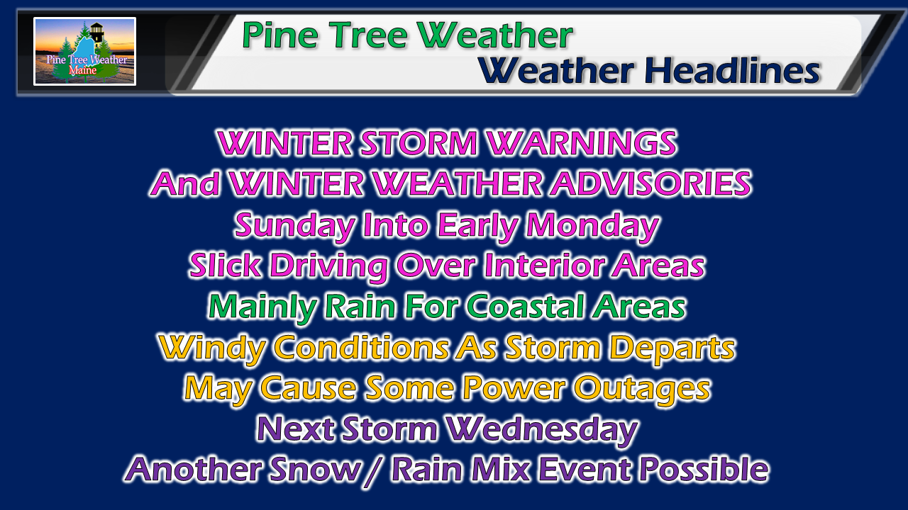
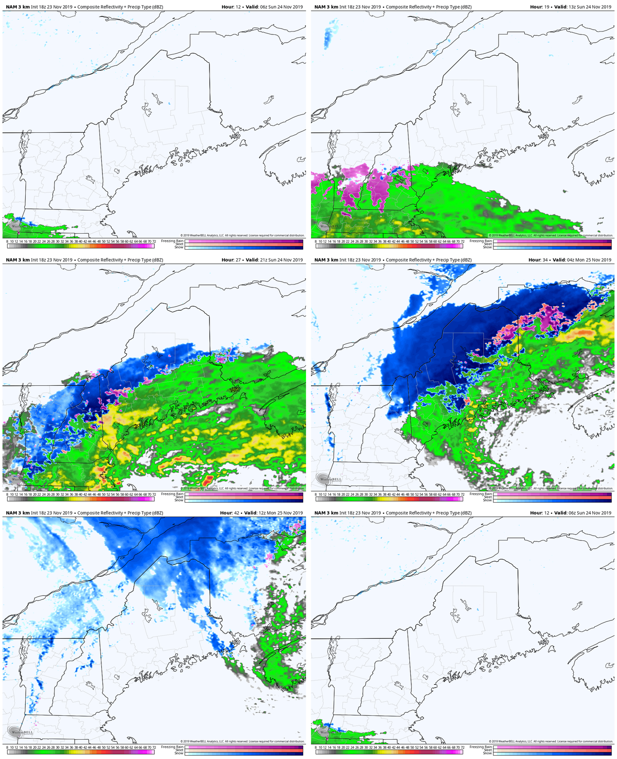
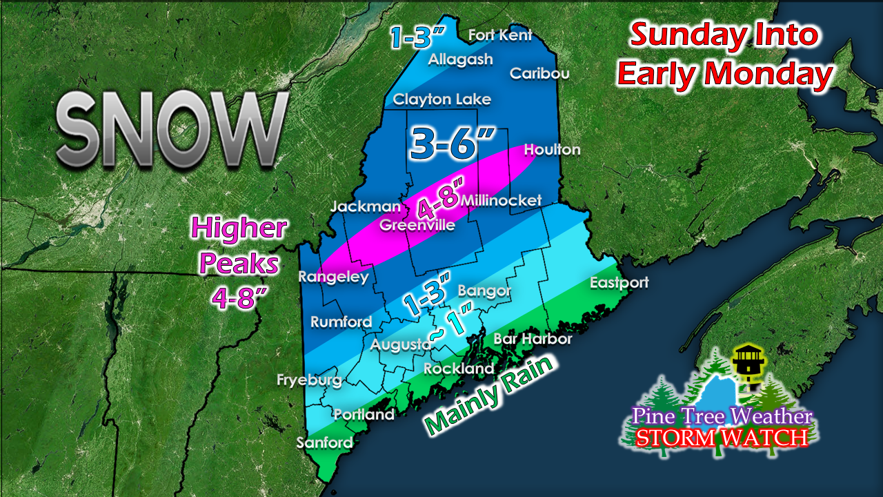
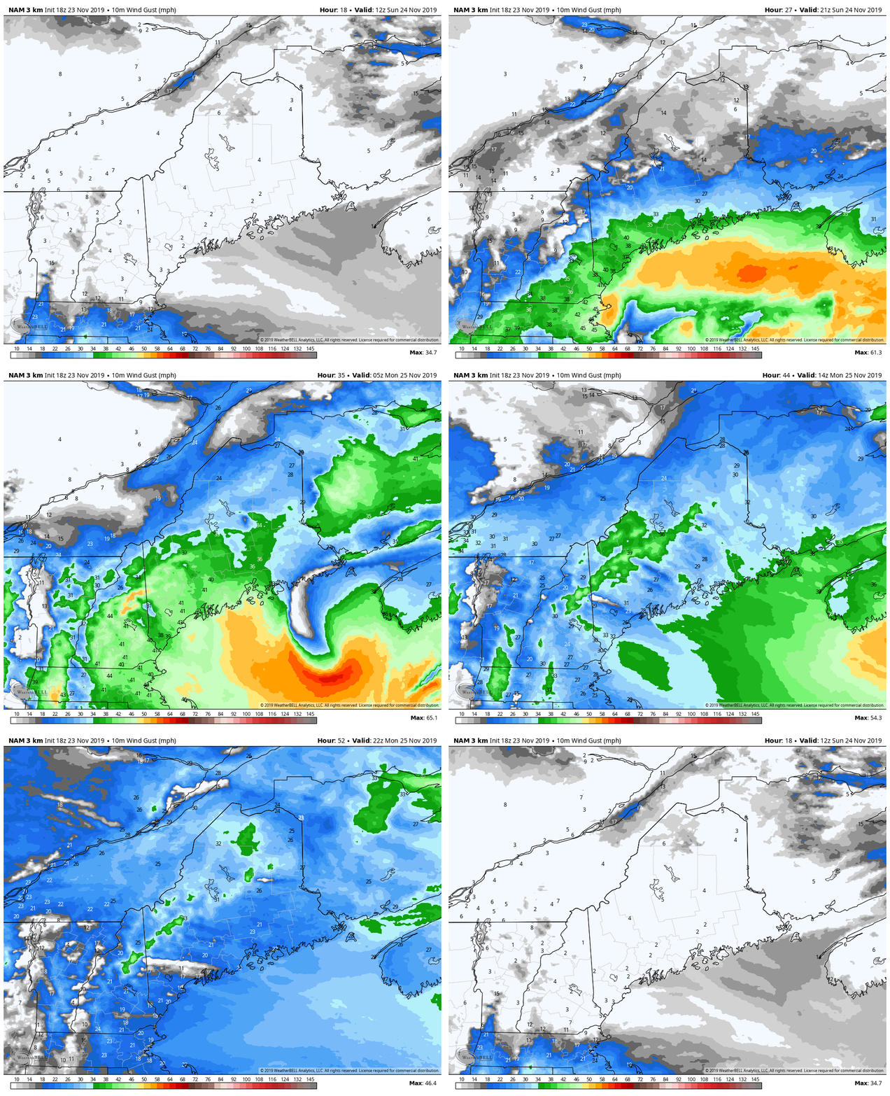
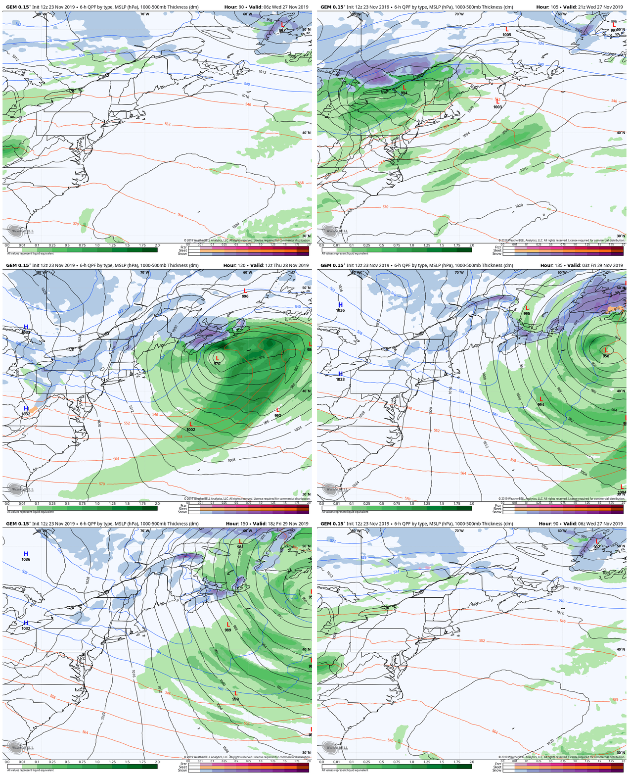
Tricky travel for interior parts of the stateGuidance has finally come into better agreement as for what could happen Sunday into Monday. This does appear to be a either a rain or snow affair for the most part. I can't rule out pockets of sleet or light freezing rain mixed in for the western foothills on up into southern Aroostook. Given the amount of warm air and track of the storm, this could be the heavy, wet snow variety which could cause issues not only with moving it, but also the wind that appears to crank up behind it. Storm impactsStorm begins to work into southwestern areas around daylight Sunday morning and spreads north and east through the day, reaching the far north Sunday night. The system intensifies and heads into the Bay of Fundy Sunday night into early Monday. Precipitation ends from southwest to northeast Sunday night into early Monday. Upslope snow showers for the mountains may continue into Monday morning. Since the rain/snow line is still in question, it could have some impacts on the snowfall map pending on any changes in track, so be aware of that. Coastal interior areas on up into the western foothills and northern parts of Washington County have the best chance for slushy conditions. As I said, this is likely to be a heavy, wet snow which will stick to everything, even where accumulations are the highest. You'll need to take your time moving the snow given the high water content of it. This will also impact the roads and make driving slick into Monday morning. As the storm intensifies in its departure, wind gusts in the 25-35 mph range (40+ higher elevations) will be the concern Sunday night into Monday. Monday continues breezy as high pressure moves in. The wind begins to settle down Tuesday morning. Power outages are certainly possible with wet snow sticking to trees and power lines. Spotty outages are possible where snow is not present. Another round of the same possible WednesdayWith Wednesday being a big travel day ahead of the Thanksgiving holiday, it may be another messy affair similar to the Sunday/Monday event. Snow for the interior, rain for the coast and wind appear on the menu Wednesday, with potential for snow showers to continue in the mountains on Thanksgiving day. I will track and advise on this as the week unfolds. After this storm, the first half of the long weekend appears mainly void of any impacts as it appears for now. ► ► For the latest official forecasts, bulletins and advisories, please check in with the National Weather Service in Gray for western and southern areas, or Caribou for northern and eastern parts of Maine. Please help me wrap up funding needs for 2020!► ► $640 shortfall for the year ahead! You can help keep Pine Tree Weather going with a donation of any amount now through VENMO @PineTreeWeather, a monthly donation on Patreon or messaging me on Facebook or Twitter to send a check in the mail. Thank you for your support!
For more information from me, please check the Pine Tree Weather Facebook page as well as my Twitter feed. Always stay weather aware! - Mike |
Mike Haggett
|

