
Timeline for completion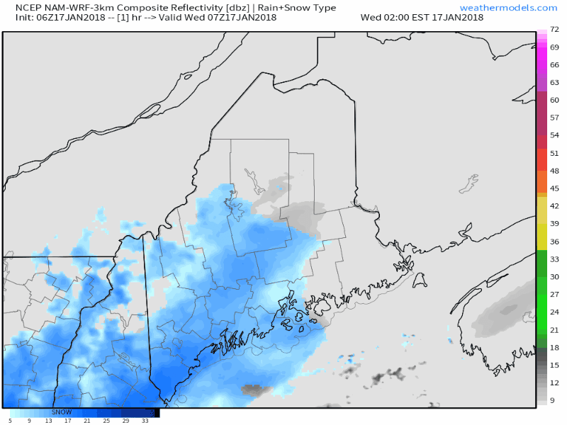 Snow will continue to overspread most of the state Wednesday morning. Overnight guidance indicates that storm track will stay to the southeast. The system is also weaker, and does not organize in time to bring much more than a light, steady snow event. Steady snow will begin to end by early evening over the south and west, with the last of the snow showers clearing eastern areas just after midnight. Snowfall map adjusted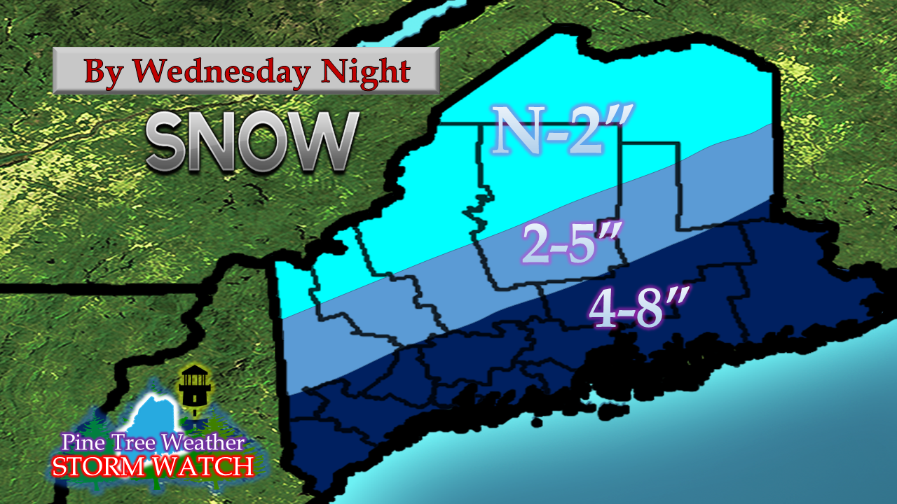 With the track of the system more to the southeast, the coastal front appears to be a non-issue, which will make this an all snow event. Coastal Washington and Hancock Counties appear to receive the most from this event. This is just enough snow to slick the roads up and cause some travel issues for the coastal plain. Snowfall will affect both the morning and evening commutes. If travelling today, allow for extra time, give fellow drivers plenty of space to work with, reduce speeds and use caution. Wind a non-issue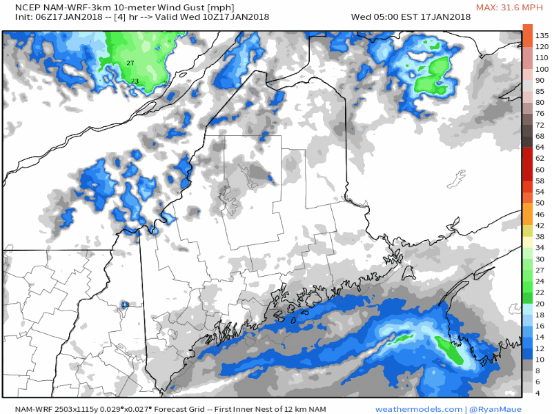 I haven't said anything about wind with this storm, because there was very little suggested. The shoreline areas may see gusts in the 10-20 mph, but it won't be until after the storm passes and intensifies well to the east before the wind picks up as we head into Thursday morning. Temperatures stay below freezing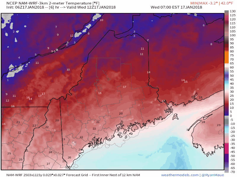 As the day progresses, all areas of the state are expected to see the mercury climb into the 20s. As the storm shifts to the east, temperatures will fall overnight with single digits to teens for the mountains and north, and teens to low 20s for the south and east. Extended outlook After the storm leaves the region today, some weak upper level waves pass through which may bring snow showers and flurries for the mountains and north Thursday and Friday. Low pressure cuts across Quebec Friday night into Saturday, which may bring some light snow for the Crown to start the weekend. Temperatures warm to the 30s and 40s through the weekend. The next widespread precipitation event comes in the form of a long wave front that could bring mixed precipitation and/or rain to the region late Monday into Tuesday.
Stay safe as you travel today! - Mike |

Mike Haggett
|


