
Impacts for the Tuesday evening commute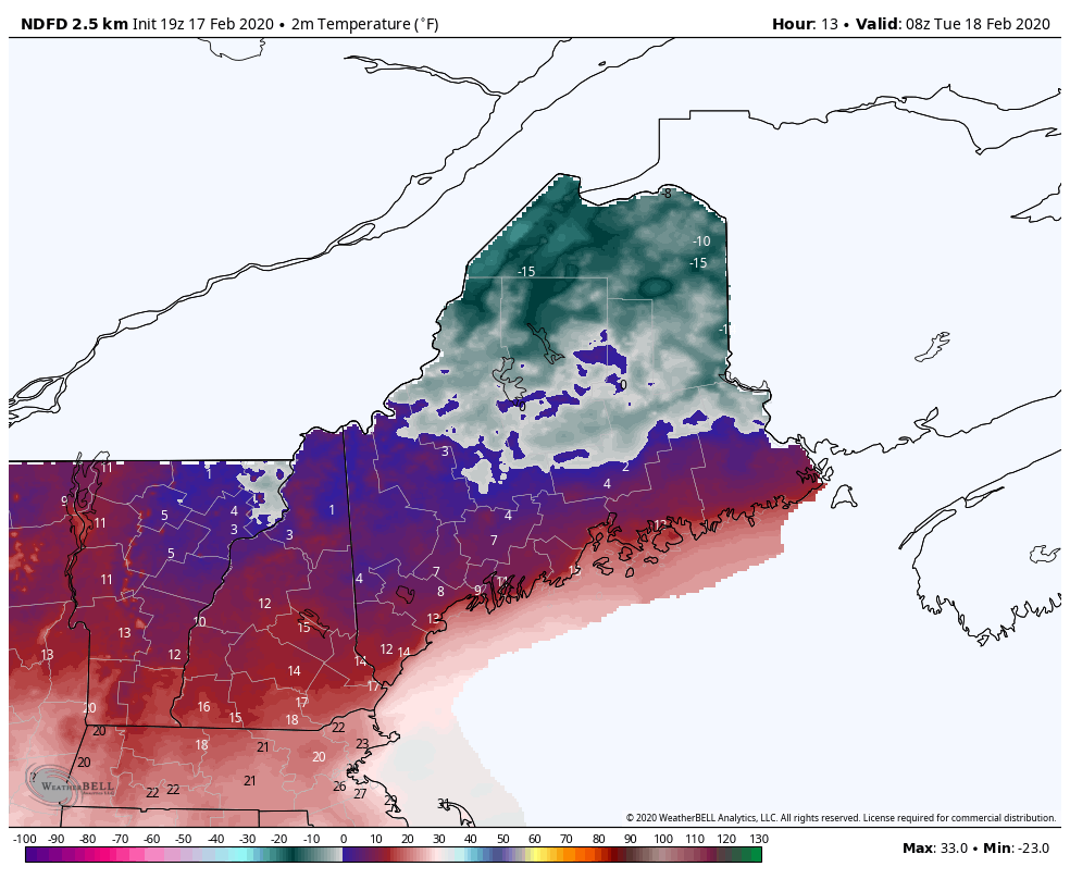 The table setter is the cold air over the north. Below zero temperatures (in some areas double digits below zero). As warmer air drives in from the southwest, temperatures climb to the teens north, 20s for central areas, and around 30° for the coast by around noon. The thermometer continues to rise through the afternoon and into the early evening. As you can see, the high temps of the day come in the early evening, and only the coastal plain gets above freezing, and not by much. 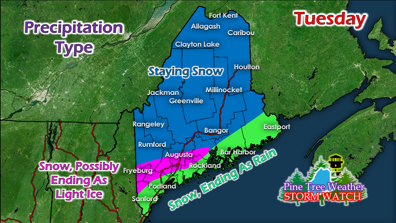 For most of the state, the precipitation remains frozen through the duration of the event. A southeast breeze off the water will help raise temperatures along the coastal plain where precipitation that starts as snow, ends with a quick shot of rain. For the southwest interior, a bit of ice is possible as a parting gift, but it doesn't appear to amount to much to be concerned with.  This is quick moving storm. Snow begins over western and southern areas late morning, and expands to the north and east into the early afternoon. While the upper level energy is rather lame, forecast mid-level energy around 10,000 feet supports a thump of snow, and may fall at 1" per hour Tuesday afternoon into the evening. This could turn the evening commute into a Body Shop Special (meaning accidents and slide offs) in the bigger towns and speedier highways. Give yourself plenty of time to get home. For all but northern areas, this storm is over by early to mid-evening. It could be around 1-2 AM before the final flakes drop over northern areas Wednesday morning. 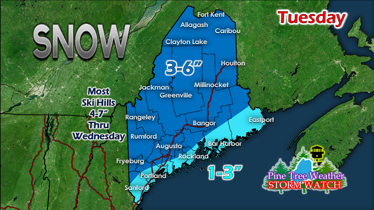 The closer to the coast, the slushier and sloppier the snow will be. For the mountains and north, there is fluff factor here. This is a storm folks will want to clean up. If there is bust in this, the thump may bring a bit more to some areas, and those that don't get the thump may come in a bit less. Ideas have been pretty consistent overall for the past three days. I do not expect the type of bust as to what happened in the previous storm, given the mid-level energy with the warm front crashing into much colder air. Please #mPING Tuesday!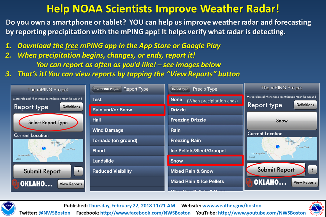 Quiet but seasonably cool overall until the weekend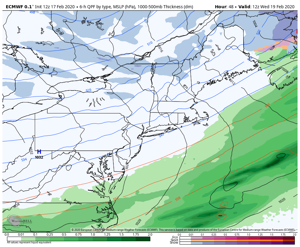 A whole lot of high pressure moving around and not much else to be concerned about through the rest of the week and through the weekend as far as precipitation goes. 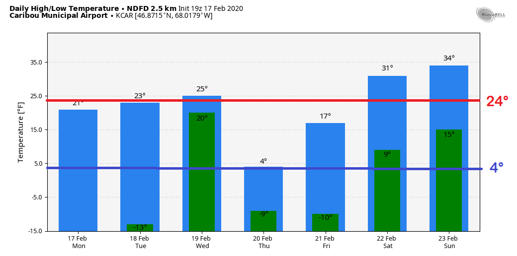 Up north, some bitter cold starts Tuesday, Thursday and Friday. Temperatures rise above seasonal average for the weekend. 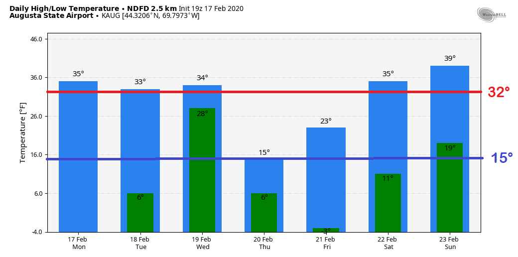 For central areas, it's the same idea, just not as cold. Temperatures climb above freezing for highs for the final full weekend of February.
► ► For the latest official forecasts, bulletins and advisories, please check in with the National Weather Service in Gray for western and southern areas, or Caribou for northern and eastern parts of Maine. You can help keep Pine Tree Weather going into the future with a donation of ANY amount now through VENMO @PineTreeWeather, a monthly donation on Patreon or messaging me on Facebook or Twitter to send a check in the mail. Thank you for your support! For more information from me, please check the Pine Tree Weather Facebook page as well as my Twitter feed. Always stay weather aware! - Mike |

Mike Haggett
|


