
Another wet one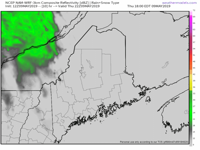 Any outdoor plans for Friday will be damp as a warm front enters into the region. Southern areas may see showers taper toward evening and catch a glimpse of sun as the day ends, but for the rest of the region, it will be raindrops into Friday night. A cold front sweeps it all away Friday night into early Saturday. Northern areas may see a few scattered showers to start Saturday morning, but those should be out of the way by around mid-morning. Rainfall amounts still appear to be in the ½-1" range, with lesser amounts for The County. Questions for the first of the week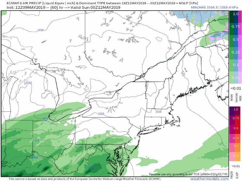 Sunday appears to be dry for a bulk of the region, thanks to high pressure to the north. A potential NorEaster may impact the area Monday and could linger into the middle part of the week. Cold air may bleed in from the northeast and bring some wet snow to the mountains Monday night into Tuesday. Given the moisture content potential of the NorEaster, any snow that comes may bring a wet couple of inches on grassy surfaces and the rock of the higher terrain. I will stress that this is a LOW confidence forecast for now. High pressure that moves into the area this weekend may change the forecast track of the ocean storm. Stay tuned! Outlook through Tuesday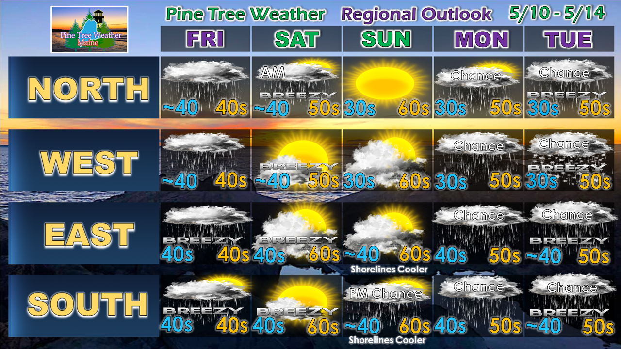 Saturday will be another breezy one as high pressure moves into the region. Time will tell what happens the first of next week. We're roughly about a week away from seasonable temperatures. We'll be below normal on average until then.
► ► For the latest official forecasts, bulletins and advisories, please check in with the National Weather Service in Gray for western and southern areas, or Caribou for northern and eastern parts of Maine. ► ► Your financial donations are much appreciated to keep this site funded and for further development. I sincerely appreciate your support not only financially, but also in sharing my efforts with others. For more information from me, please check the Pine Tree Weather Facebook page as well as my Twitter feed. Always stay weather aware! - Mike |

Mike Haggett
|


