
More chances for precipitation in the coming days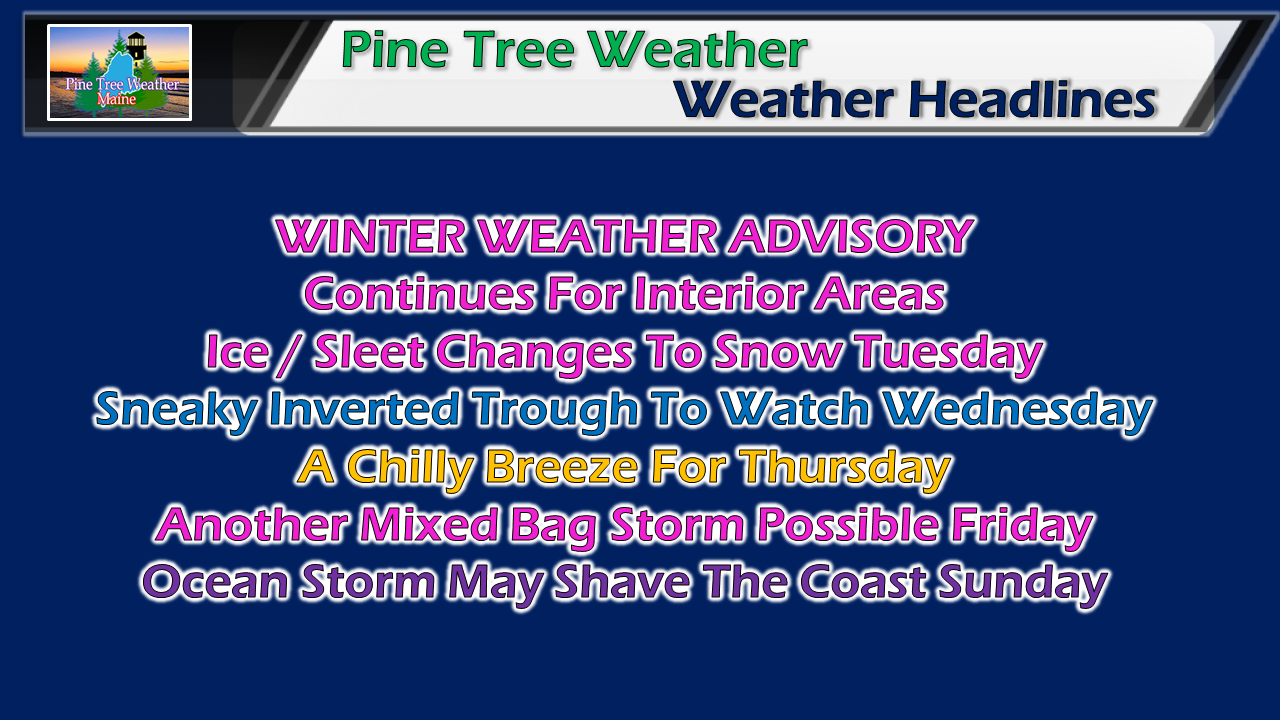 After Tuesday's storm exits the region, most areas take a break for couple of days before the next storm arrives to wrap up the week. A cold November continues with below average temperatures, but the record books won't be rewritten for daily values as it appears for now. Ice changes to snow and departs by Tuesday evening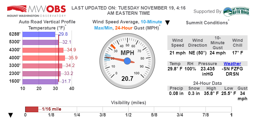 I've mentioned the "warm nose" quite a bit over the last couple of days due to the mixed bag of precipitation the region is dealing with. This graphic above from the Mount Washington Observatory shows that idea in living color. It's cold enough for snow on top of the mountain, but the temperature profiles at lower levels warm above freezing, before cooling off closer to the bottom of the mountain. This vertical profile shows the likelihood freezing rain or sleet for the valley, pending on the velocity of the falling parcel. For those in western areas, this is a cool website to watch in events such as this to get a better idea what is going on in your area. Expect that entire list of vertical profiles to fall below 32° as cold air works in, and turns all mixed precipitation to snow. 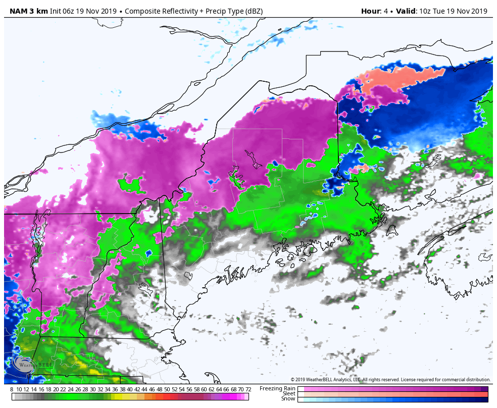 The fruit salad on the radar changes to blue indicating snow as this wave passes southwest to northeast during the day. Precipitation ends over southern areas by mid-afternoon, and the rest of the state by early this evening. The snow map below remains on track with forecast amounts through Tuesday evening. 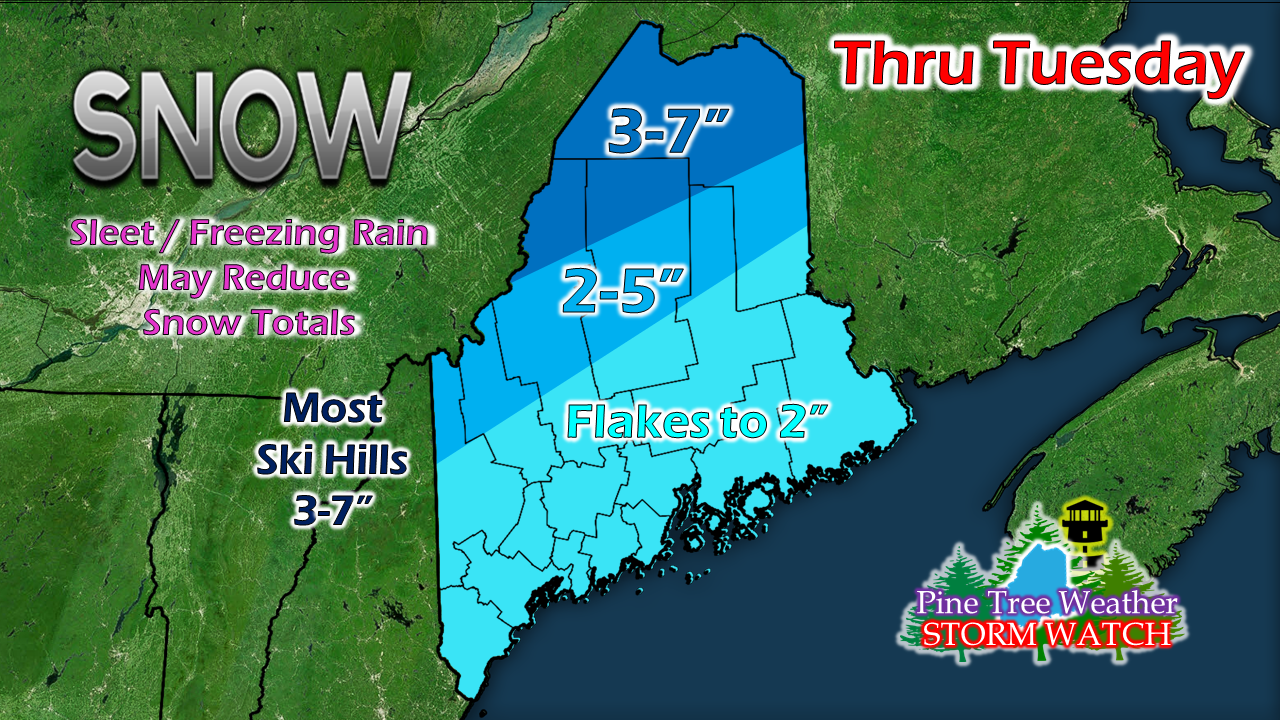 Sneaky inverted trough to watch for Wednesday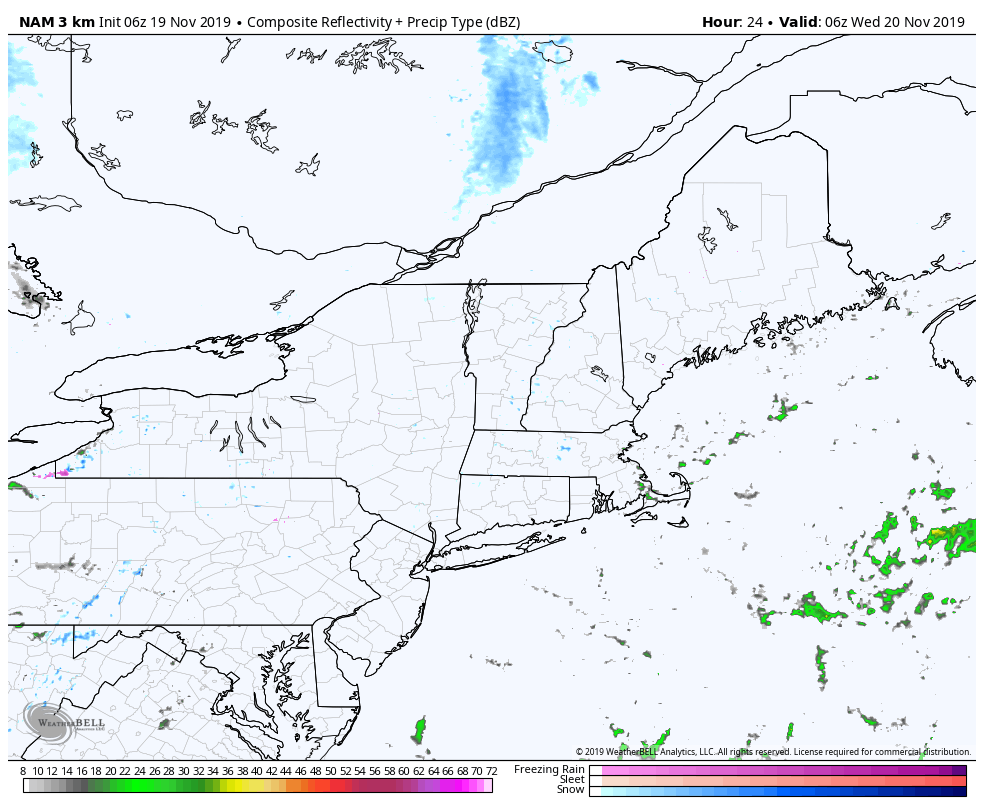 Yet another wave works into the region for Wednesday. This is much weaker than two which were dealt with on Monday and Tuesday, but has just enough energy to bring some snow shower activity. Best chance for snow shower activity will be for western and southern areas. At this point, I am not expecting a whole lot, but it may be enough to cover the roads and create a few slick spots. While the idea presented here is more over New Hampshire and Vermont for the steadier snow showers, this is a recent change as this idea was further east with more impact for western and southern areas. These inversions have a mind of their own as demonstrated over the years. I will keep track of this during the day and update on Facebook Tuesday afternoon. Outlook through Sunday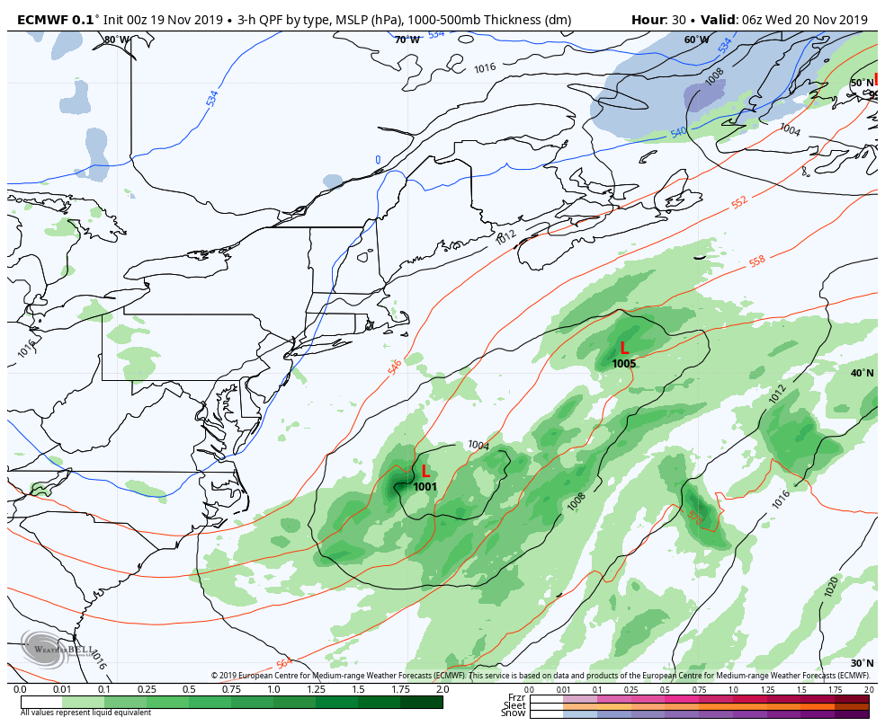 After a chilly, breezy day on Thursday, warm air tries to work in from the southwest ahead of a cold front attached to low pressure cutting across southern Quebec. I wouldn't focus so much on precipitation type the loop is generating, because that will likely change. A safe bet is for another mixed bag of precipitation Friday for interior areas that will change to snow before ending early Saturday. Later in the weekend, and ocean storm fires up and moves northeast near the 40°N / 70°W benchmark point. Any time that idea is pitched, it deserves to be watched. I'll fine tune the details on all of this as the rest of the week unfolds. ► ► For the latest official forecasts, bulletins and advisories, please check in with the National Weather Service in Gray for western and southern areas, or Caribou for northern and eastern parts of Maine.  Help me wrap up funding needs for the year ahead! ► ► DONATION DRIVE UPDATE - $640 shortfall for the year ahead! You can help keep Pine Tree Weather going with a donation of any amount now through VENMO @PineTreeWeather, a monthly donation on Patreon or messaging me on Facebook or Twitter to send a check in the mail. Thank you for your support!
For more information from me, please check the Pine Tree Weather Facebook page as well as my Twitter feed. Always stay weather aware! - Mike |

Mike Haggett
|


