
Summah Time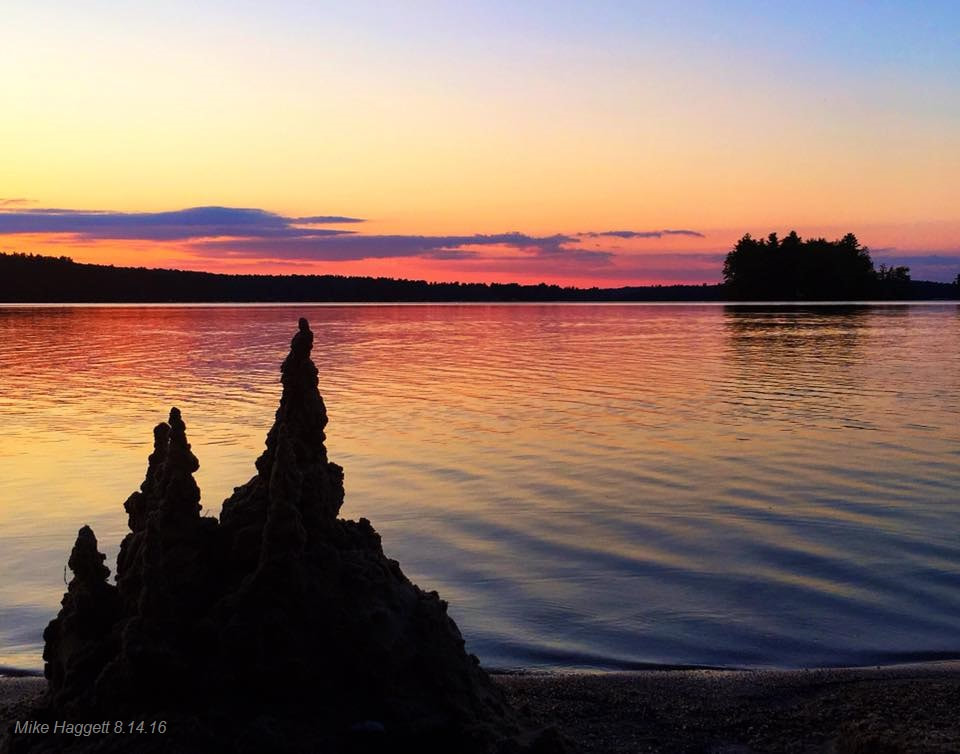 I pulled this photo from Tripp Lake in West Poland taken August of 2016 from my archives as it personifies what will go on for the next few days. Hot. Humid. Beach time. I can't thank the kids who sculpted this enough as this is one of my favorite photos I captured in the 17 years my family and I lived there. I expect there will be many sandcastles created along sand shorelines through late week. Rain outlook through Friday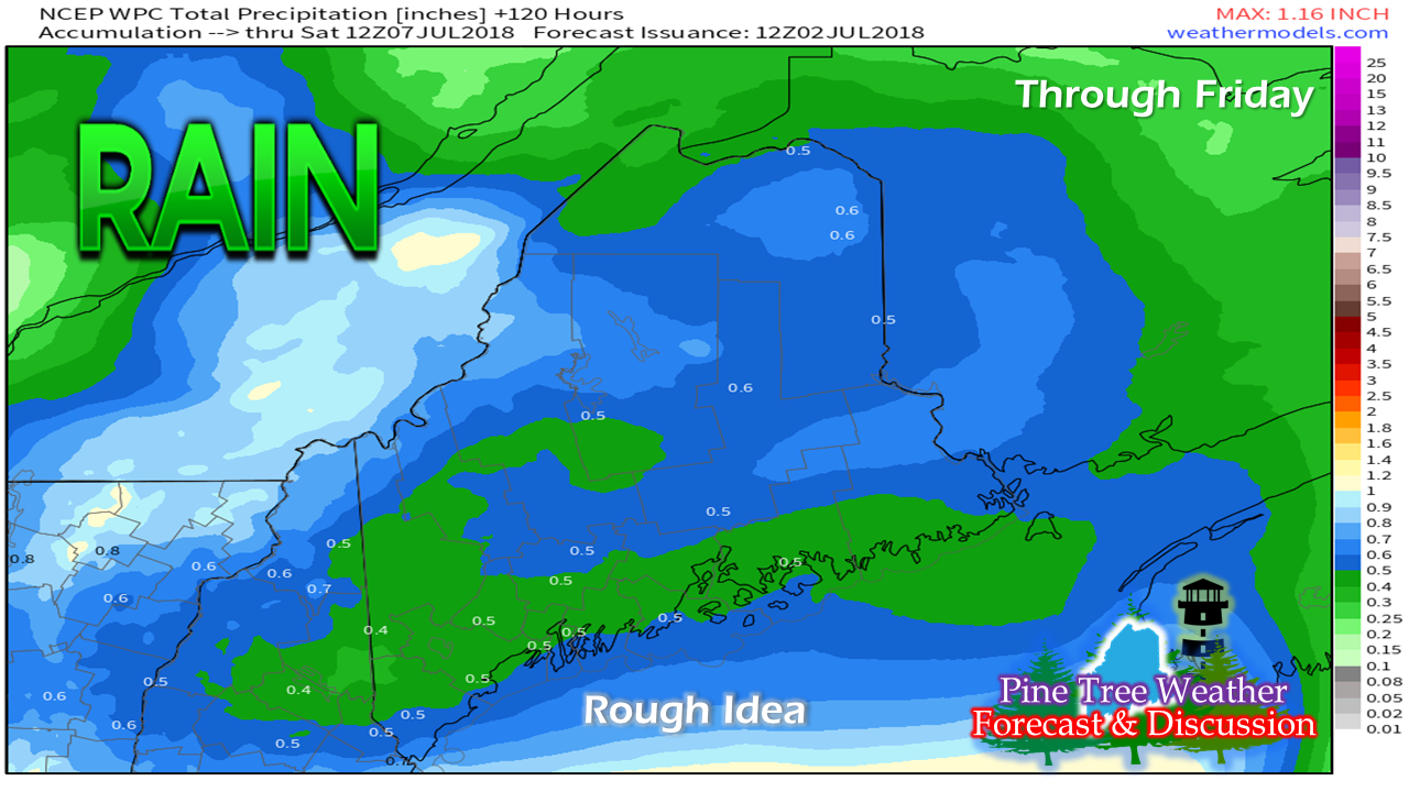 This is two systems worth. A frontal boundary drops through the region Monday night bringing scattered showers and thunderstorms to the north country primarily overnight. The southwest and DownEast areas may see an isolated shower or storm on Tuesday, but that is about it. Most of the projected rainfall comes Thursday night into Friday. Pattern through early next week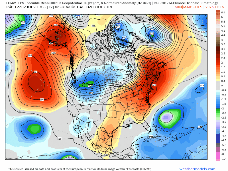 This graphic shows the blow torch the region is dealing with. While it is very early in the season, this will certainly go down as one of the warmest periods of the summer for sure. Cold air from the far north drops down later in week to push the hot air out of here, and the frontal boundary associated with that brings the chance for showers and thunderstorms Thursday night into Friday. After that, dew points drop to much more comfortable levels and a perfect weekend appears in the works with dry conditions and abundant sun. Temperatures will begin to tick up next week. Regional outlook through Saturday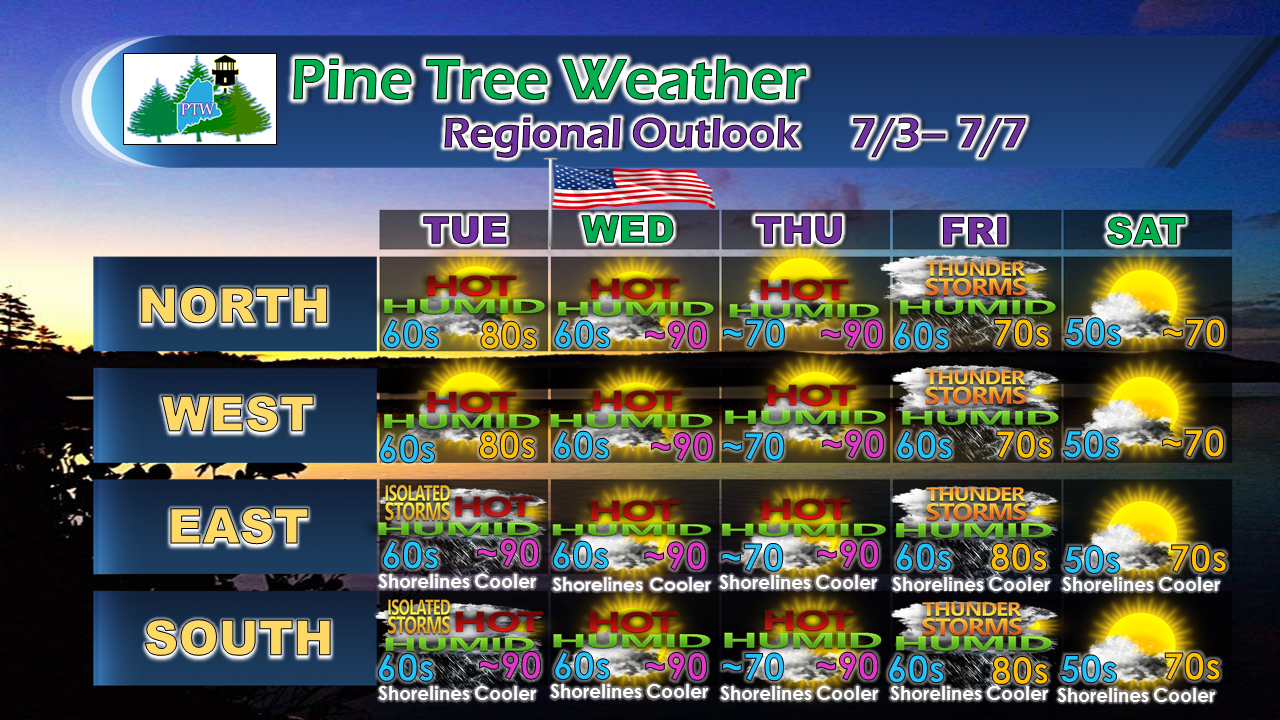 With the humidity building even higher, the risk of areas of fog forming overnight will be a possibility through the remainder of the week. We'll have to watch for severe weather potential later on in the week when the cold front approaches. By Saturday, the heat and humidity of the week will be a thing of the past as drier and more seasonable temperatures arrive.
As always, stay in touch with the National Weather Service in Caribou for northern and eastern Maine, and Gray for western and southern areas for the latest bulletins, advisories, and information. Thanks as always for your support! - Mike |

Mike Haggett
|


