Pine Tree Weather
  • DISCUSSIONS
  • DONATE
  • MAPS
  • NWS BRIEFINGS
  • SATRAD
  • MARINE
  • SNOW / ICE OUTLOOK
  • RAIN OUTLOOK
  • CPC OUTLOOK
  • Kennebunk
  • OBSERVING WEATHER
  • Who We Are
  • My Photography
  • DISCUSSIONS
  • DONATE
  • MAPS
  • NWS BRIEFINGS
  • SATRAD
  • MARINE
  • SNOW / ICE OUTLOOK
  • RAIN OUTLOOK
  • CPC OUTLOOK
  • Kennebunk
  • OBSERVING WEATHER
  • Who We Are
  • My Photography

After a pleasant Wednesday, a threat of showers and storms return Thursday and Friday

7/27/2022

Comments


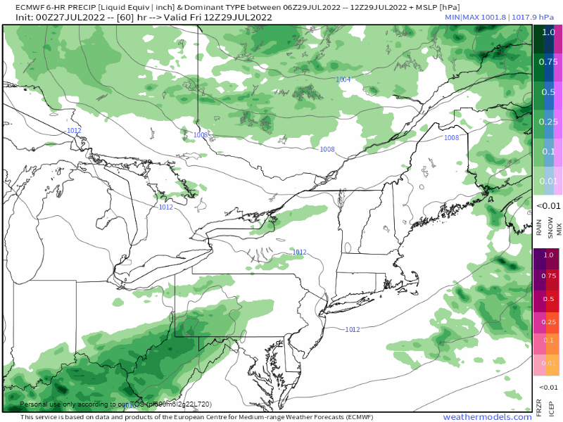
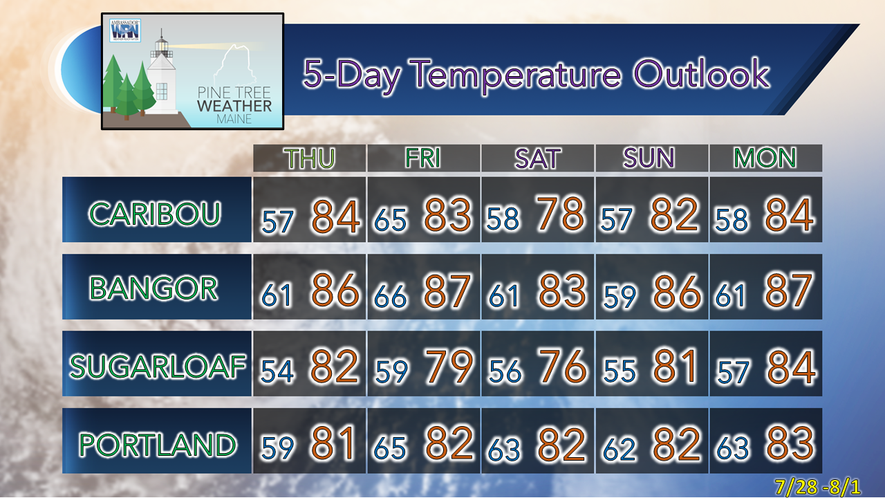
Not bad for late July

Picture
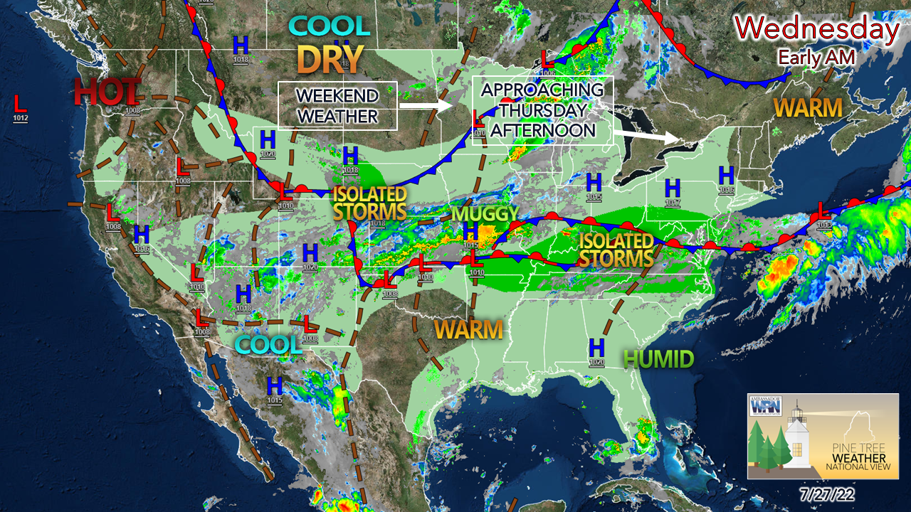
The blast furnace over much of the country has been turned down. A strong ridge moving in off the Pacific brings heat to the northwest, while temperatures elsewhere are expected to run within a few degrees of normal. For those of us in the northeast, a pleasant day ahead with comfortable humidity levels and slightly above average high temperatures is expected. A warm front moves into the area Thursday afternoon and brings the risk of showers and storms into Thursday night.
Picture
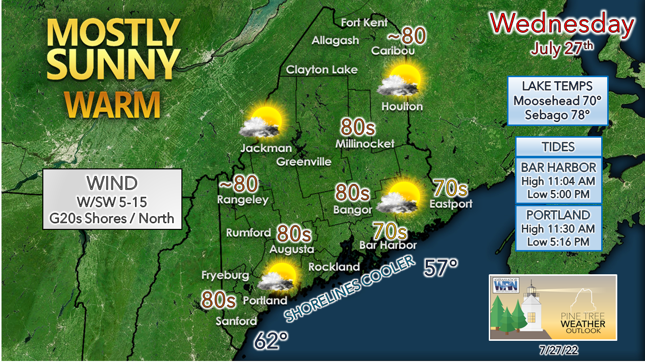
For the early birds, there could be areas of patchy fog around in spots that should dissipate as the atmosphere warms up. It will be a great day to play hooky and go for a hike, bike ride, visit a state park, or do whichever outdoor activity you prefer. 

An interesting set up to round out the week

Picture
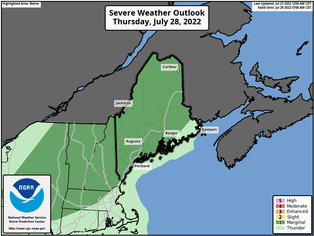
I've been watching the set up for Thursday and Friday rather intently over the past couple of days. Any time a warm front is involved in summer in Maine, experience over the years has taught me to pay close attention. 

Storm Prediction Center has most of the region in marginal risk for isolated severe storms as of their Day 2 outlook posted early Wednesday morning. The timing of the arrival of showers and storms towards the latter part of the day over western and southern areas may bring a surprise to the unsuspecting. 
Picture
Thursday Noon to Friday 2 AM - Folks along the coastal plain are likely to feel a surge of sticky air as precipitable water values push upwards of 2" driving dew points into the upper 60s to low 70s Thursday afternoon. Wind shear speeds could reach 40-55 knots as a rather stiff low-level jet moves in ahead of the front. Looking at other parameters, there is some decent low-level spin, but poor mid-level temperature lapse rates diffuse the threat for widespread storms. The idea of tall, skinny CAPE (convective available potential energy) presents the idea of isolated storms that could cause a tornado or two., if not, a damaging wind threat, and perhaps some hail. With the surge of moisture. areas of torrential downpours are possible.  The late day timing works against activity to get out of hand for too long, but rumbles of thunder are possible in the overnight hours. Those in the western and southern areas have a better chance of seeing strong to severe storms through mid-evening. 

The other wrench in this is some guidance have been flirting with the idea of low pressure forming along the coast Thursday evening. This would be a godsend as it would bring a soaking rain to drought parched coastal regions. I don't want to raise hopes of it, but the idea is out there. Lord knows we need the rain. 

Cold front brings showers and storms Friday,
​chance of showers north Saturday

Picture
Friday 8 AM to Sunday 2 AM - Maine wakes up Friday morning in the warm sector with dew points close to disgusting levels statewide. A cold front works its way through the region Friday afternoon. Isolated showers and storms are possible through early evening for the coast. The air column dries out over interior areas bringing a comfortable sleeping night there, while dew points slowly drop over the coastal plain heading into Saturday morning.  A departing upper low spins a parting wave over the mountains and north on Saturday which could bring a light shower in spots. Sunday appears dry with temperatures around average. 

Temperature outlook through Tuesday

Picture

Thank you for supporting this community-based weather information source which operates by financial contributions from people like you. 
​
Stay updated, stay on alert, and stay safe!

NEXT UPDATE: THURSDAY


- Mike

​NOTE: The forecast information depicted on this platform is for general information purposes only for the public and is not designed or intended for commercial use. For those seeking pinpoint weather information for business operations, you should use a private sector source. For information about where to find commercial forecasters to assist your business, please message me and I will be happy to help you.

Comments
    Picture

    Mike Haggett
    Kennebunk, ME

    Certified Weather
    Forecaster
    Penn State '21

    American Meteorological Society

    National Weather Association

    Weather-Ready Nation 
    Ambassador
    ​
    ​SKYWARN-CWOP

    Matthew 19:26


    Support
    Pine Tree Weather

    DONATE

    Picture

    Picture

    Picture

    Picture

    Picture

    Picture

    Picture

    Picture

    Picture

    Picture

    Archives

    January 2023
    December 2022
    November 2022
    October 2022
    September 2022
    August 2022
    July 2022
    June 2022
    May 2022
    April 2022
    March 2022
    February 2022
    January 2022
    December 2021
    November 2021
    October 2021
    September 2021
    August 2021
    July 2021
    June 2021
    May 2021
    April 2021
    March 2021
    February 2021
    January 2021
    December 2020
    November 2020
    October 2020
    September 2020
    August 2020
    July 2020
    June 2020
    May 2020
    April 2020
    March 2020
    February 2020
    January 2020
    December 2019
    November 2019
    October 2019
    September 2019
    August 2019
    July 2019
    June 2019
    May 2019
    April 2019
    March 2019
    February 2019
    January 2019
    December 2018
    November 2018
    October 2018
    September 2018
    August 2018
    July 2018
    June 2018
    May 2018
    April 2018
    March 2018
    February 2018
    January 2018
    December 2017
    November 2017
    October 2017

    RSS Feed

Proudly powered by Weebly