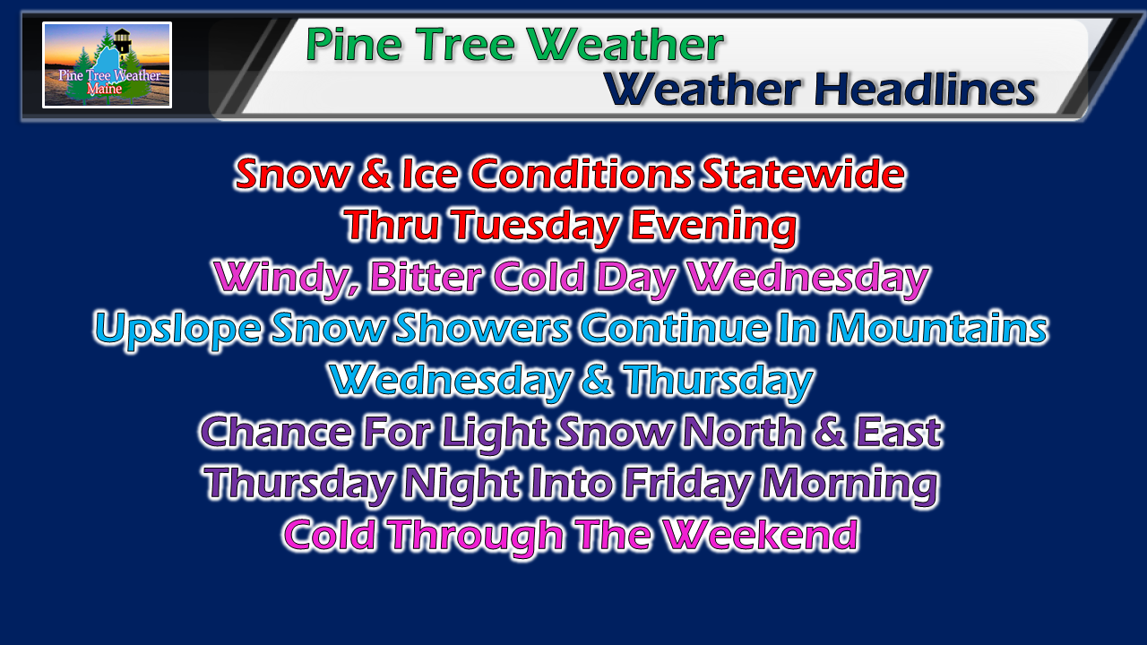
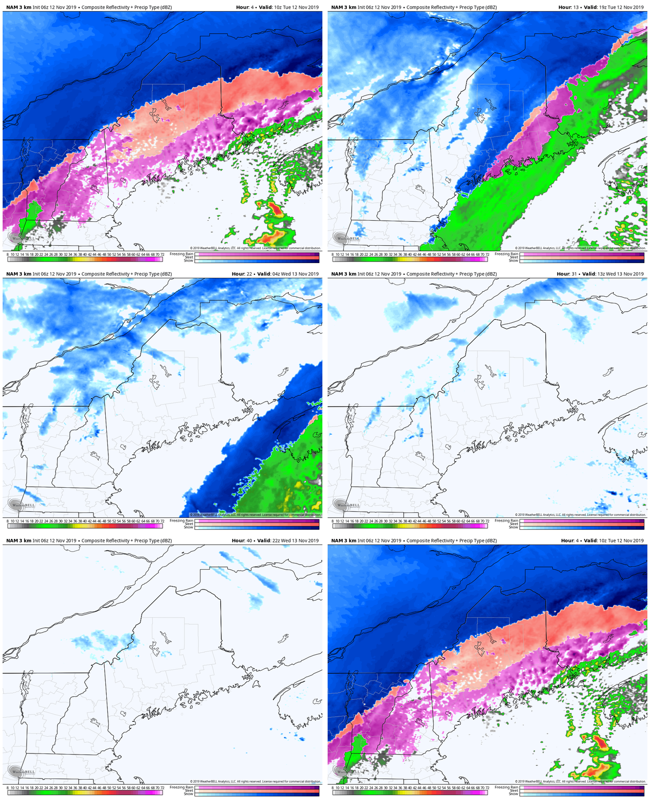
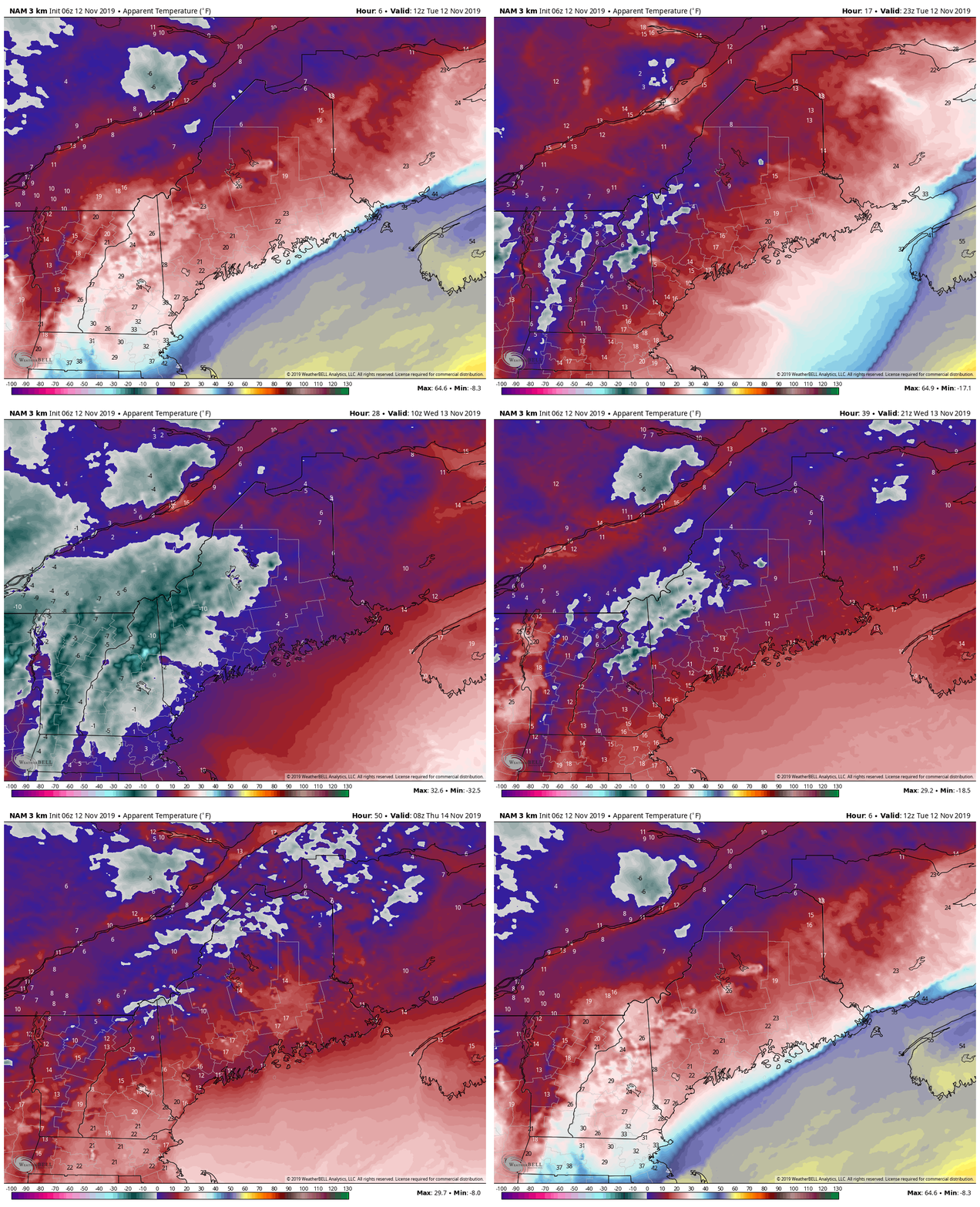
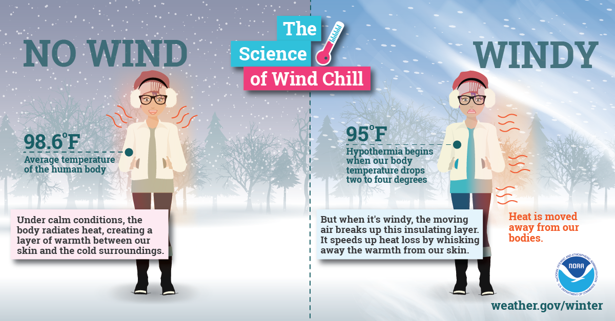
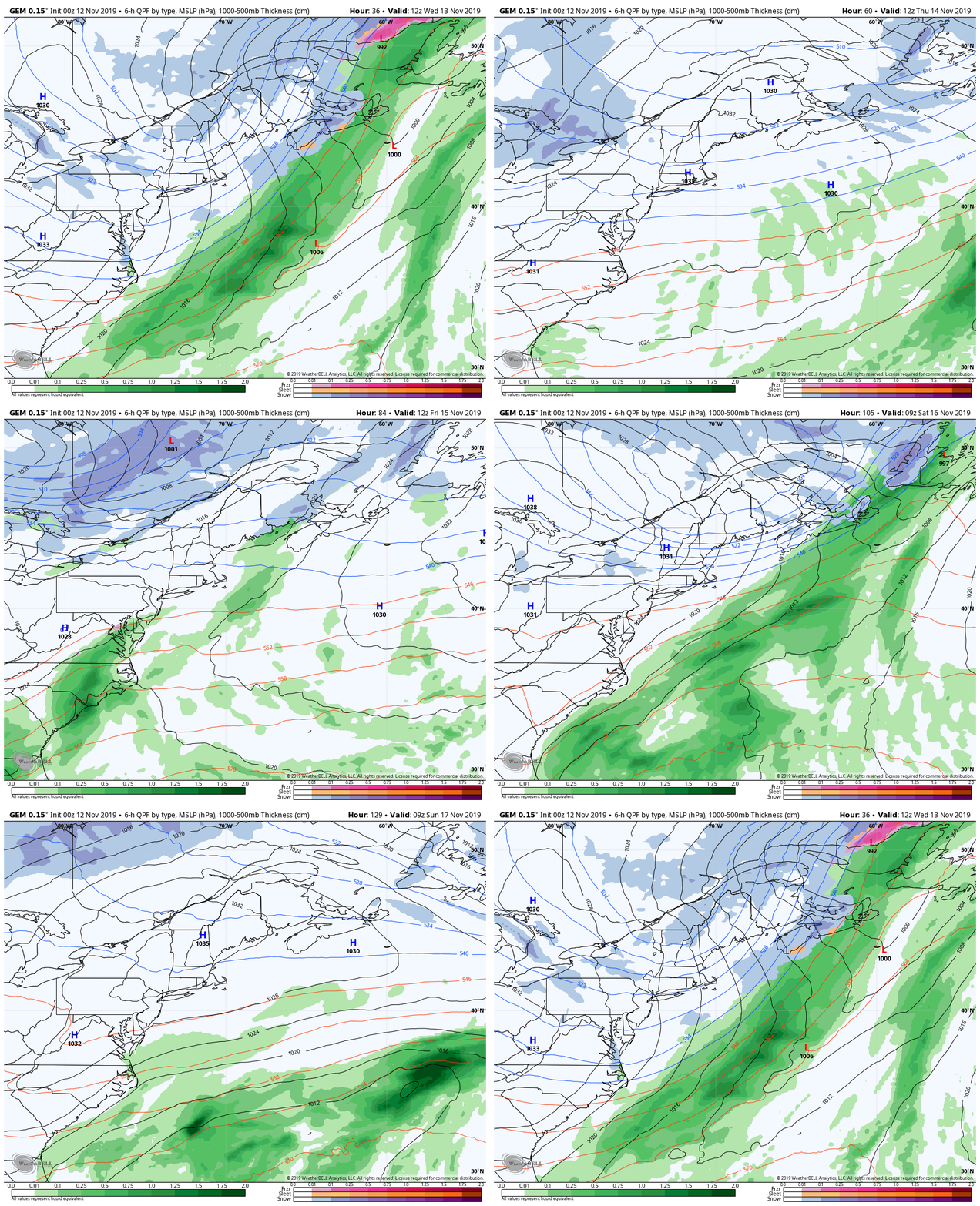
It's may be November, but it will feel like JanuaryWhile some areas may have very little to no snow on the ground, there is a good chance there is ice from overnight freezing drizzle. Expect hazardous conditions walking and driving until surfaces are properly treated! Allow for plenty of extra time to get to where you are going, and TAKE IT SLOW! As precipitation ends, the wind beginsThe frontal boundary and low pressure associated with it moves eastward Tuesday. Snow and ice ends from west to east during the day, with the steadier snow ending over DownEast areas Tuesday evening. As the low intensifies in the Canadian Maritimes, it will kick up snow showers over the north Tuesday night. An arctic front works into the region on Wednesday, and appears to bring upslope snow showers to the ski hills that could continue into Thursday. West-northwest wind picks up behind the departing front which could bring gusts in the 30+ mph range Tuesday night into Wednesday. It will bring bitter cold wind chill to the entire region, with values below zero over a good portion of the region Wednesday morning. As the wind begins to settle, it won't feel as cold, but single digits and teens will generally be the rule through Thursday morning. It's time for the hats, mittens, and parkas! Areas of light snow & cold through the weekendHigh pressure works in behind the departing front for Wednesday, then moves offshore Thursday. A weak disturbance drags up moisture from the Atlantic late Thursday and brings the chance for some light snow to northern and eastern areas overnight into Friday morning. As that departs, a reinforcing arctic front works into the region to start the weekend, which may bring more upslope snow showers to the mountains Friday night into early Saturday. I am keeping tabs on a ocean storm that for now stays offshore on Monday. Time will tell if it stays that way. ► ► For the latest official forecasts, bulletins and advisories, please check in with the National Weather Service in Gray for western and southern areas, or Caribou for northern and eastern parts of Maine. Your help is needed!► ► DONATION DRIVE UPDATE - $840 shortfall for the year ahead! You can help keep Pine Tree Weather going with a donation of any amount now through VENMO @PineTreeWeather, a monthly donation on Patreon or messaging me on Facebook or Twitter to send a check in the mail. Thank you for your support!
For more information from me, please check the Pine Tree Weather Facebook page as well as my Twitter feed. Always stay weather aware! - Mike |
Mike Haggett
|

