|
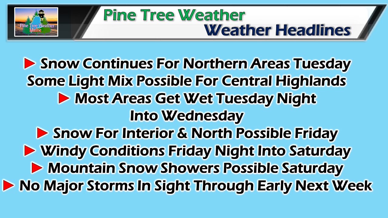
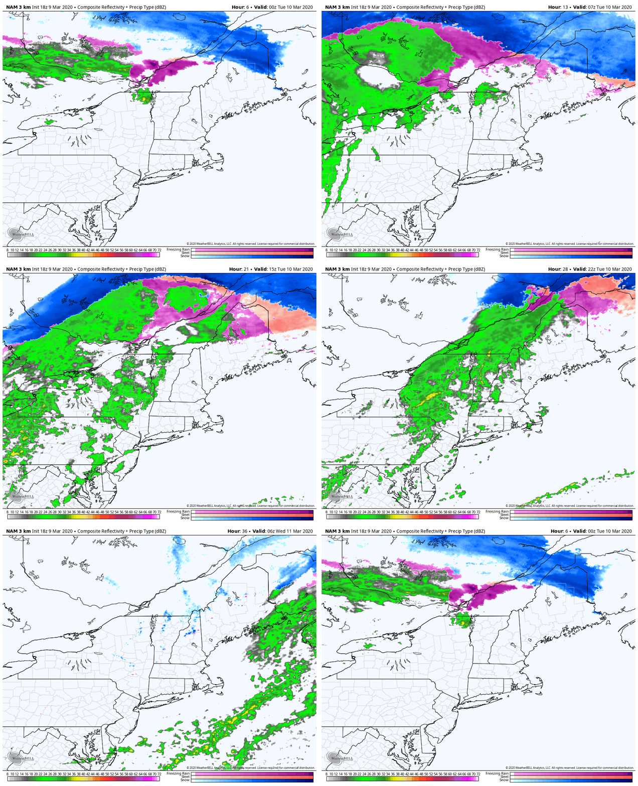
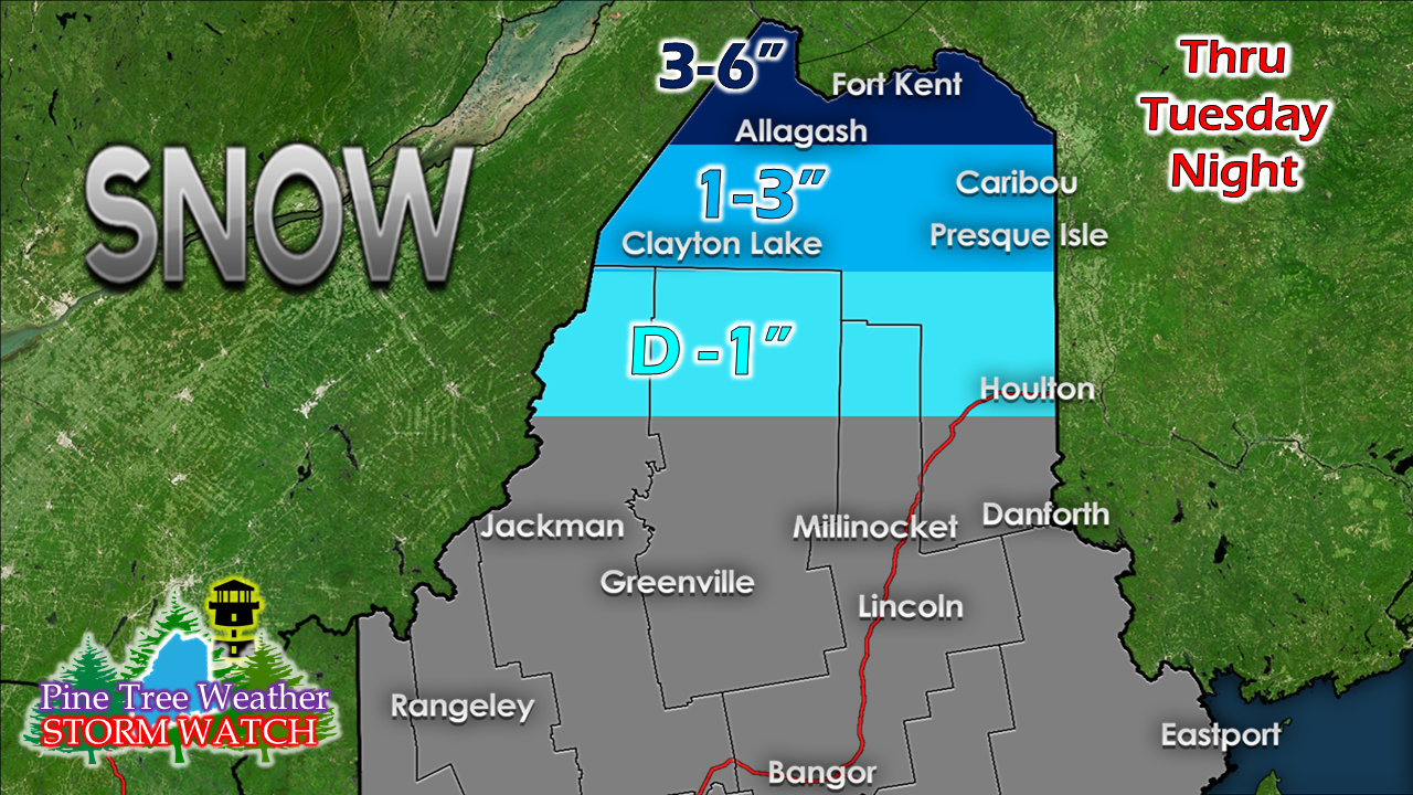
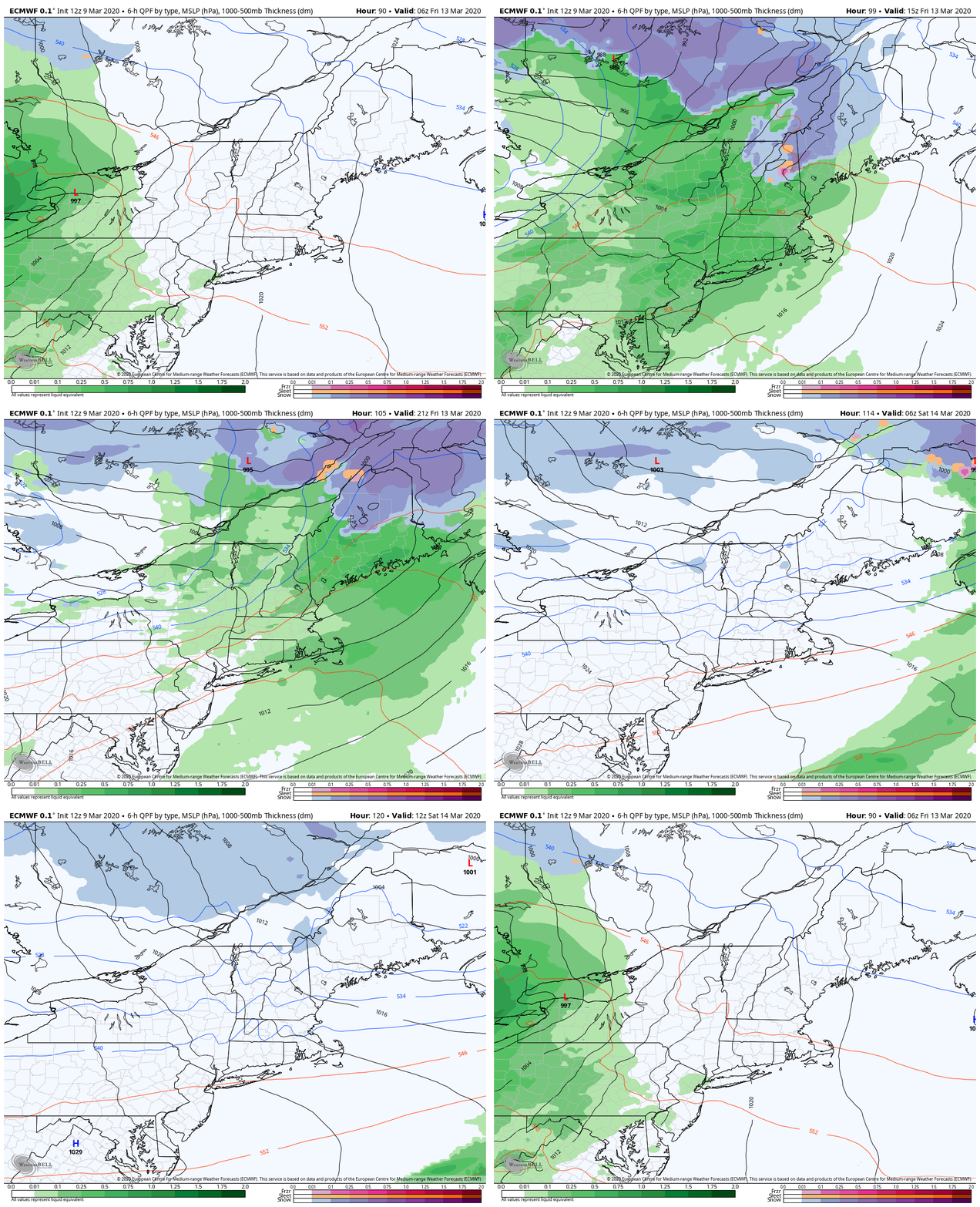
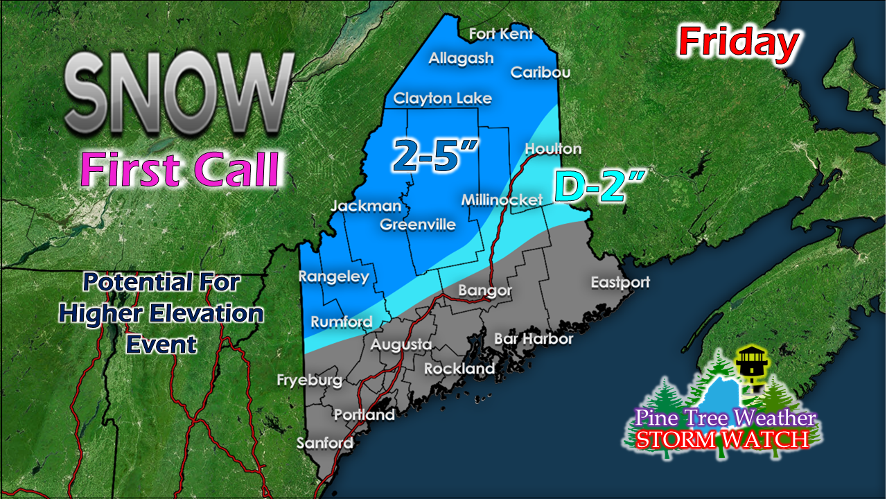
A winter weather advisory continues for the north through Tuesday morning for Greenville, Millinocket & Houlton regions. The advisory also continues for the rooftop through Tuesday evening. Make sure you stay posted on any revisions by checking in with the National Weather Service Caribou office. Northern areas stay messy through TuesdayThe frontal boundary parked over the northern half of the state Monday turns into a warm front that will surge north Tuesday afternoon. Before then, the snow continues at various intensities Monday night into Tuesday morning. There could be some light mix that pops up along the warm ridge which may bring some slick spots over eastern areas Tuesday morning, but will likely be short lived. By late Tuesday afternoon, all areas appear to transition to rain, albeit briefly, before a cold front advances through Tuesday night into the wee hours of Wednesday. Snow reports from Monday afternoon show the sharp cut-off as a result of the front. The amounts listed here are still to come before the transition to mix or rain Tuesday night. Slick roads are the main concern through Tuesday for The County. Friday storm: snow to rain for interior areasThe question at this point is whether the Great Lakes low spins off a coastal low, which if that would occur would juice up potential precipitation amounts. It's likely to be another sloppy heavy wet mess which starts as snow, but likely ends up as rain for most. The storm slows down and intensifies over Atlantic Canada which will keep windy conditions going Friday night through Saturday. A cold area of high pressure precedes the storm, so expect a chilly weekend for the region with temperatures going back up the first of next week. I may be putting the horse ahead of the chariot a bit here, but I put this out there as a rough idea for now. I will update on this as the week unfolds.
Feel free to use the many pages available on this website for many types of forecasts on rainfall, snowfall, marine, longer range CPC outlooks and maps. ► ► For the latest official forecasts, bulletins and advisories, please check in with the National Weather Service in Gray for western and southern areas, or Caribou for northern and eastern parts of Maine. You can help keep Pine Tree Weather going into the future with a donation of ANY amount now through VENMO @PineTreeWeather, a monthly donation on Patreon or messaging me on Facebook or Twitter to send a check in the mail. Thank you for your support! Always stay weather aware! - Mike |
Mike Haggett
|

