
For interior areas, heads up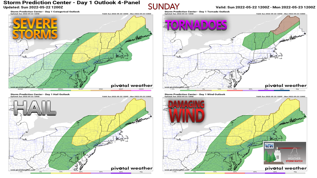 A long wave cold front approaches the region Sunday and brings another round of strong to severe thunderstorms along with it. The muggy airmass over the region becomes more humid as dew point temperatures surge into the mid to upper 60s. Adding sun to the mix is like firing a match around an open gasoline tank for thunderstorms to develop. 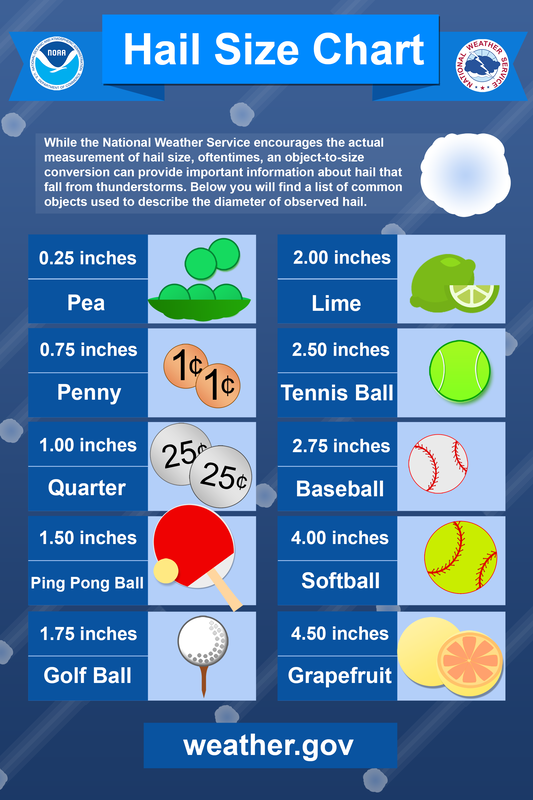 Large hail continues to be a threat over the western foothills and mountains, Moosehead region and northward into The County. Storm reports from Saturday indicated hail upwards of 2" (lime or egg size) in Dixville Notch, and that potential exists for Sunday. 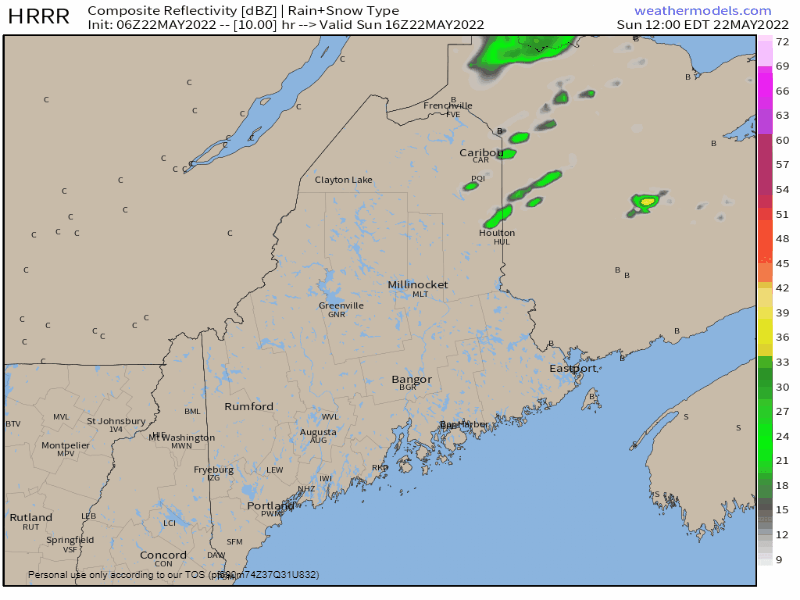 Sunday Noon to Monday 6 AM - It's important to note that short-term guidance is somewhat scattered in ideas as to when storms initiate and how numerous they may be. The forecast from the HRRR model presented here is for a ballpark idea on when storms could fire up. What is consistent with the various ideas is the ingredients for strong to severe storms are all there for interior areas. Supercell composite ideas pinpoint the western foothills, central areas on up into The County for wind damage, large hail, torrential downpours that could cause localized flash flooding and the risk of an isolated tornado or two. Storms lose their severe potential within an hour or two of sunset Sunday night, but there could be a few rumbles of thunder and some light shows as the front pushes through early Monday. 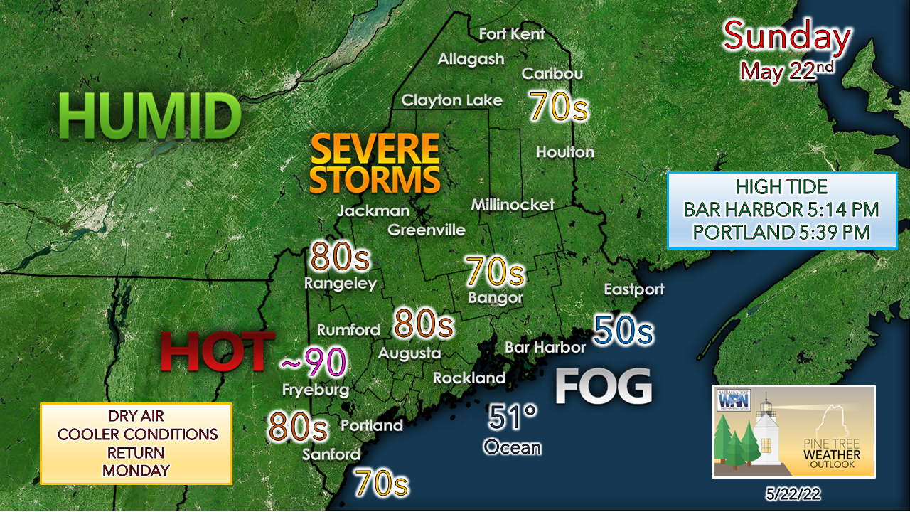 While most of the area starts off with a dense fog advisory, expect that to burn off by mid-morning. I suspect most of Hancock and Washington Counties to remain stuck in the fog most, if not all day. The stable air because of the fog negates the severe threat there. Beachgoers can expect views of the fog bank offshore, along with temperatures in the upper 50s to mid-60s. I do expect a severe thunderstorm watch and warnings to be issued during the day. Please treat these storms with respect and heed the warnings by finding a sturdy building for shelter as soon as possible. If a tornado warning is issued, seek shelter in cellar or in a bathroom, and cover yourself with a mattress or blankets to protect yourself from flying debris. Have multiple ways to receive weather alerts, keep your phones charged in case of power loss, and stay aware of what is going on in the sky. When thunder roars, head indoors. Thunderstorms can escalate quickly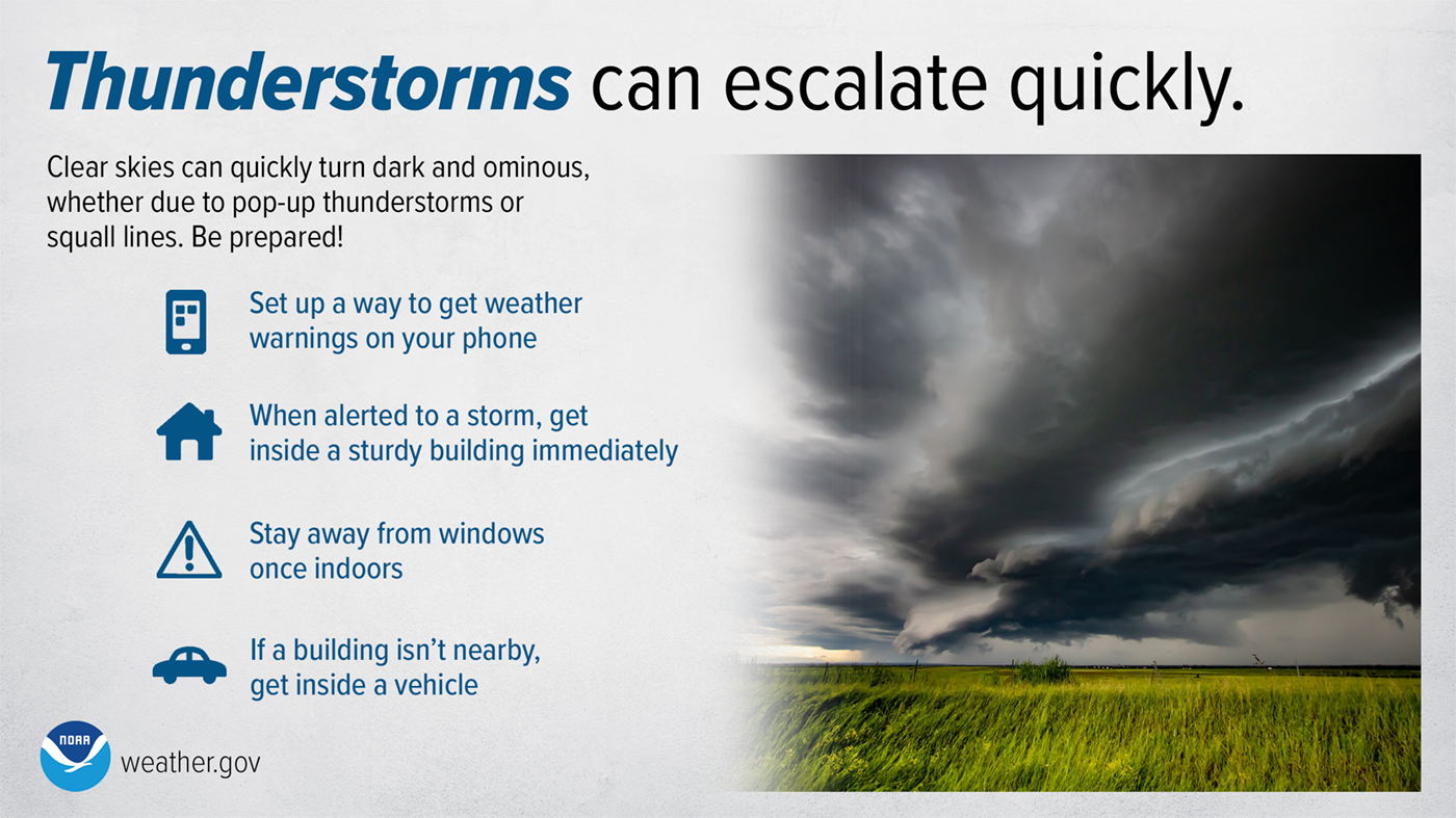 Thunderstorms and squall lines can quickly turn clear skies dark. Stay Weather-Ready by having a way to get weather alerts on your phone and stay safe by immediately going inside when the skies turn threatening. weather.gov/safety/thunderstorm Be prepared to receive alerts and stay updated!
 For more information in between posts, please follow Pine Tree Weather on Facebook and Twitter. Thank you for supporting this community-based weather information source which operates by reader supported financial contributions. Thank you as always for your support! - Mike NOTE: The forecast information depicted on this platform is for general information purposes only for the public and is not designed or intended for commercial use. For those seeking pinpoint weather information for business operations, you should use a private sector source. For information about where to find commercial forecasters to assist your business, please message me and I will be happy to help you. |

Mike Haggett
|


