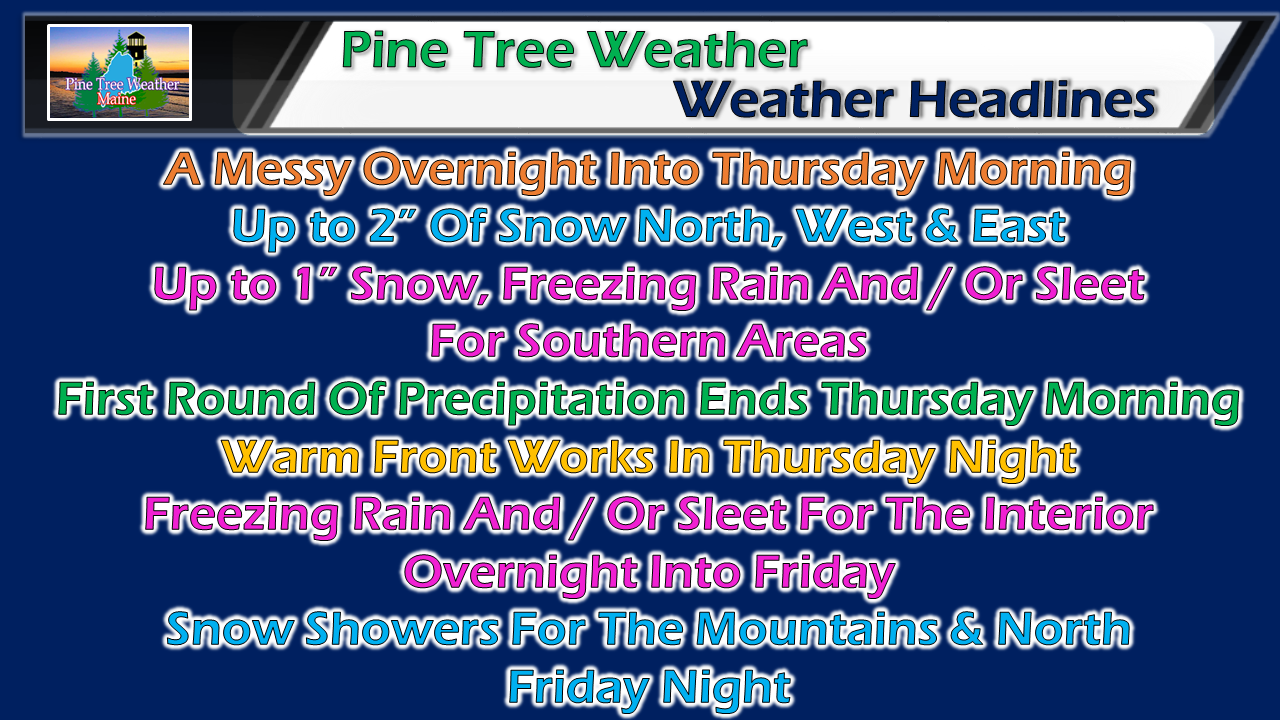
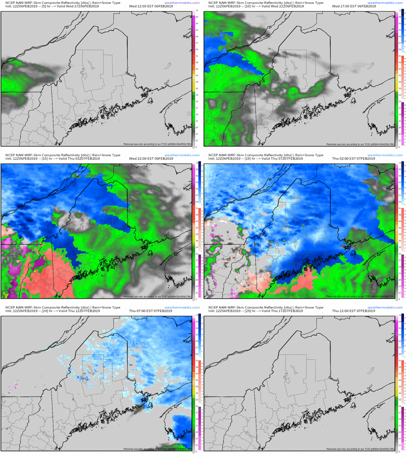
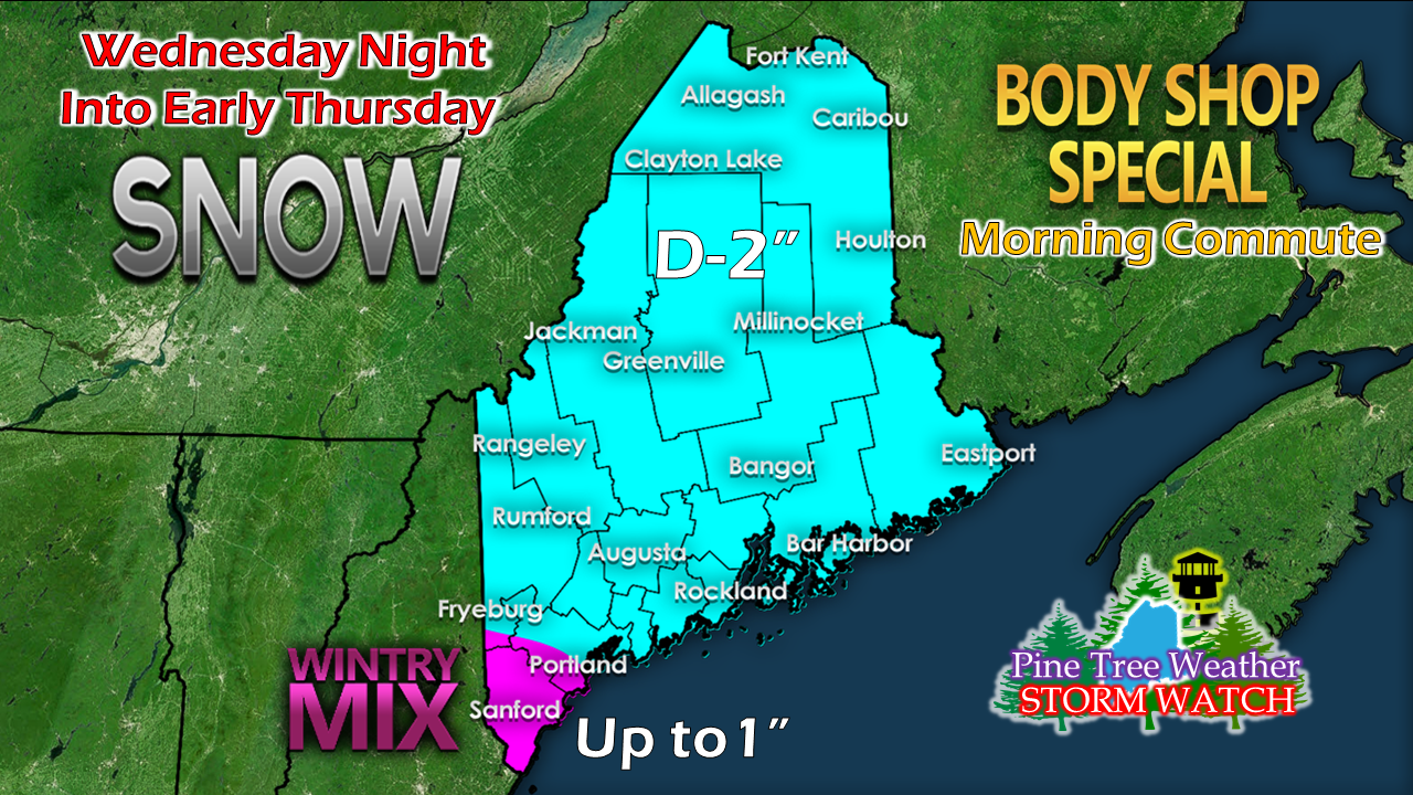
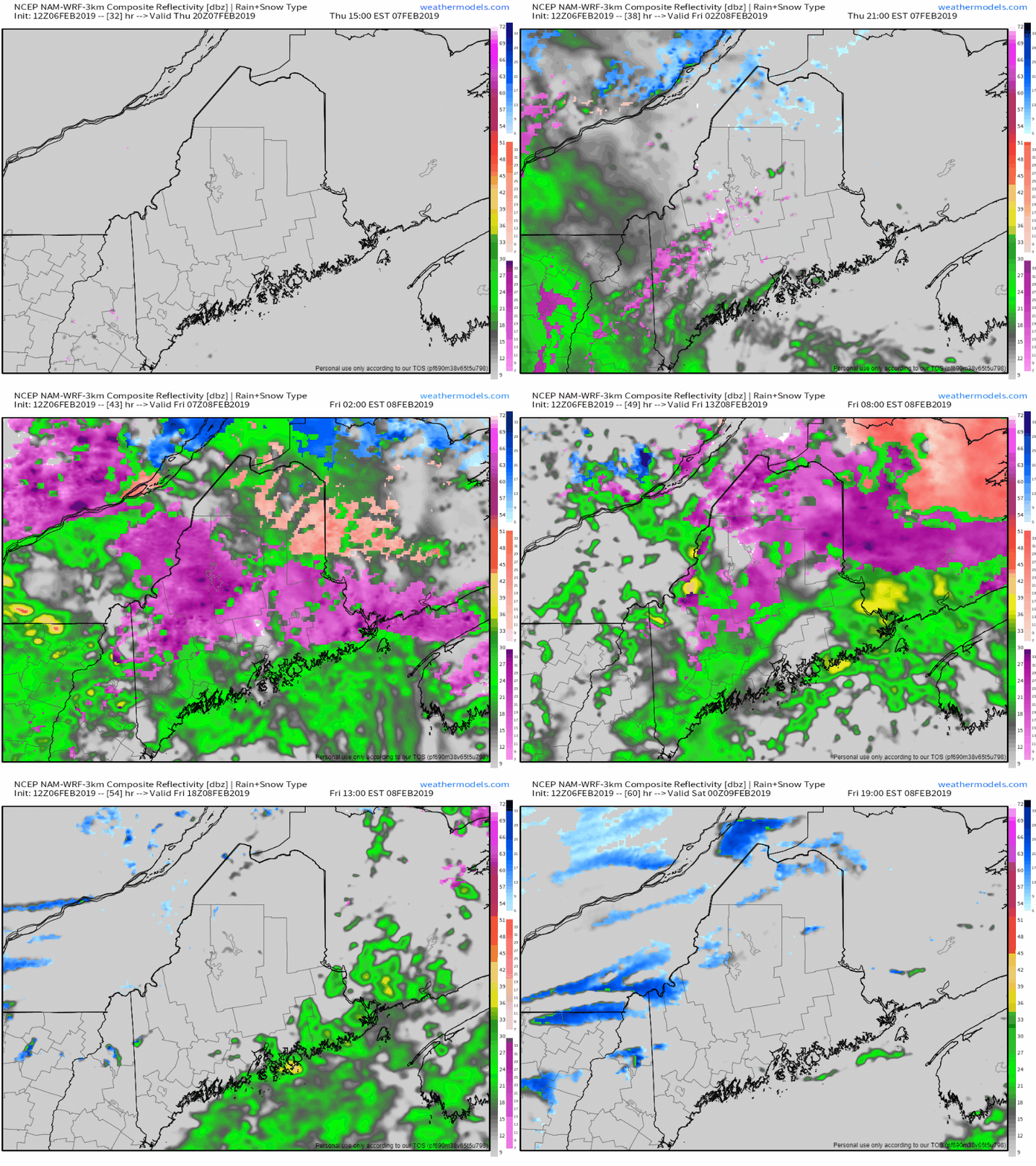
Two phase eventIt's not a lot of precipitation, but enough to cause some slick spots statewide for Thursday morning. Early bird travelers should be on alert for areas of ice and sleet over southern areas. There could be just enough snow to cause concern for northern, western and eastern areas to make the commute hazardous. The interior appears to deal with another round of mixed precipitation overnight Thursday into Friday. Thursday morningConditions deteriorate Wednesday night as a cold front moves eastward. The dominant precipitation type will be snow for northern, eastern and western areas, with a risk of trace freezing rain and sleet closer to southern areas. Snow tapers in northern areas by late morning. Southern areas may start off with some snow, but appear to change over to sleet and light amounts of freezing rain before ending in the wee hours of Thursday. All in all, a dusting to 2" is possible for much of the state. Higher elevations may see as much as 3". York County and fringe areas may see as much as an inch before changing over. This will be more a nuisance for travel than anything else. Temperatures warm to near freezing or above for much of the coastal plain during the day Thursday. Northern and western areas appear to struggle to get to 30°. After a lull of activity during the day, a warm front approaches the region Thursday night, bringing mainly rain for the shoreline areas, and a mix of freezing rain and/or sleet for the interior. Areas of fog are possible into Friday morning. Precipitation ends from west to east during the day on Friday. A cold front passes through the region Friday evening, which brings the chance for snow showers and/or snow squalls into the overnight.
The weekend appears quiet, but cool. The next storm appears possible midweek. I have to deal with some family, work and personal issues. I hope to get back into a regular posting routine soon. Thank you for your understanding. ► ► For the latest official forecasts, bulletins and advisories, please check in with the National Weather Service in Gray for western and southern areas, or Caribou for northern and eastern parts of Maine. For more information from me, please follow the Pine Tree Weather Facebook page and my Twitter feed. ► ► Your financial donations are much appreciated to keep this site funded and for further development. I sincerely appreciate your support not only financially, but also in sharing my efforts with others. Always stay weather aware! - Mike |
Mike Haggett
|


