
What to expect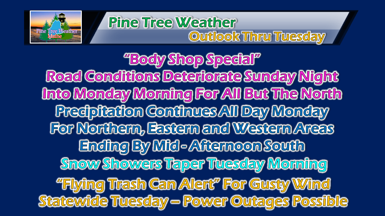 For those traveling Sunday evening over southern and western areas, be prepared for slick conditions that will continue into the overnight hours. Eastern areas see road conditions deteriorate in the wee hours of Monday morning. The far north likely won't get in on the action until Monday morning. This will be a multi-day event for all but southern areas, but the bulk of the heavier precipitation occurs Monday. Storm track still questionable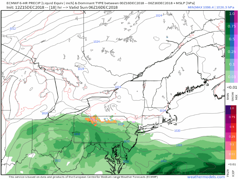 There is still some wiggle room as far as track goes, and the impacts of that could make precipitation amounts and type go higher or lower. A track closer to the coast brings more mixing of sleet and freezing rain into play. For now, the forecast I have generated contains that possibility for the immediate shorelines. First call snow estimates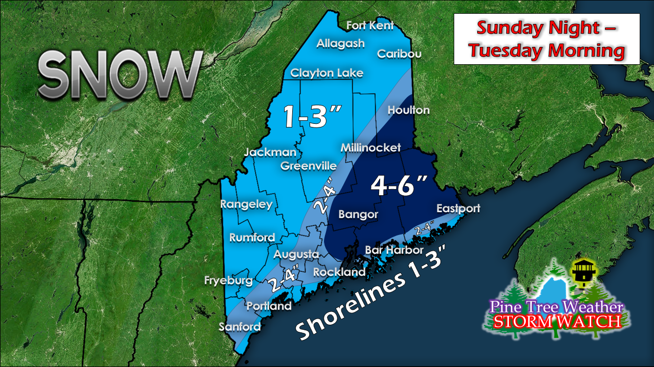 Eastern areas appear to be the jackpot location for the most snow from this event as the storm intensifies as it moves into the Canadian Maritimes. The ski hills will benefit from upslope snow shower activity that lingers into Tuesday. Storm track will dictate what happens to the shorelines. A track more to the southeast could cut down on coastal front possibilities, and increase snowfall amounts. Any prolonged mixing along the coast could also cut down snow totals. Stay tuned for further updates Flying Trash Can Alert Tuesday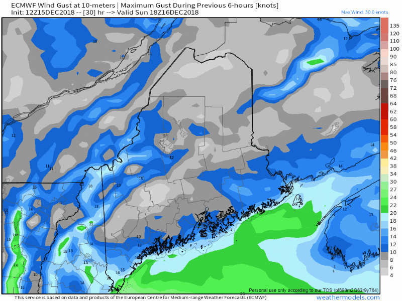 The storm rapidly intensifies Monday night into Tuesday. The result will be gusty northwest wind that could reach 30-40 mph. This could cause blowing and drifting snow for interior areas, trash and recycling containers to go for a ride, along with potential for power outages. As the storm moves east, wind gusts drop overnight Tuesday and during the day Wednesday, settling by Thursday morning. Expect wind chill indices below zero Tuesday night into Wednesday morning for the interior areas, and in the low positive single digits to near 0° for the coastal plain. Donation Update Pine Tree Weather is now 90% funded to get through October of 2019. My anticipated current deficit now stands at $380 remaining to be raised to reach my goal. I am sincerely blessed and humbled by your financial contributions, cards, and messages of encouragement. It's been an amazing journey over the past 7 years, and to see my efforts appreciated by those that follow is a wonderful reward for my work. I have asked simply for $1 per month / $12.00 per year through my Patreon page or by sending me a message on Facebook or Twitter to mail a check. The popular contribution has been $5 per month / $60 per year on Patreon, and the check donations average out to same amount as well. I would sincerely appreciate your support in order to be fully funded by the end of the year. Thank you for your support! Outlook through Thursday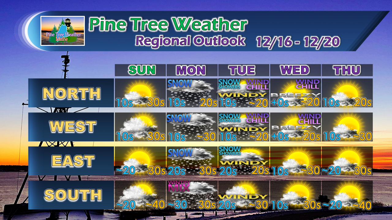 For the latest official forecasts, bulletins and advisories, please check in with the National Weather Service in Gray for western and southern areas, or Caribou for northern and eastern parts of Maine.
For more information from me, please follow the Pine Tree Weather Facebook page and my Twitter feed. Always stay weather aware, and thank you for your support! - Mike |

Mike Haggett
|


