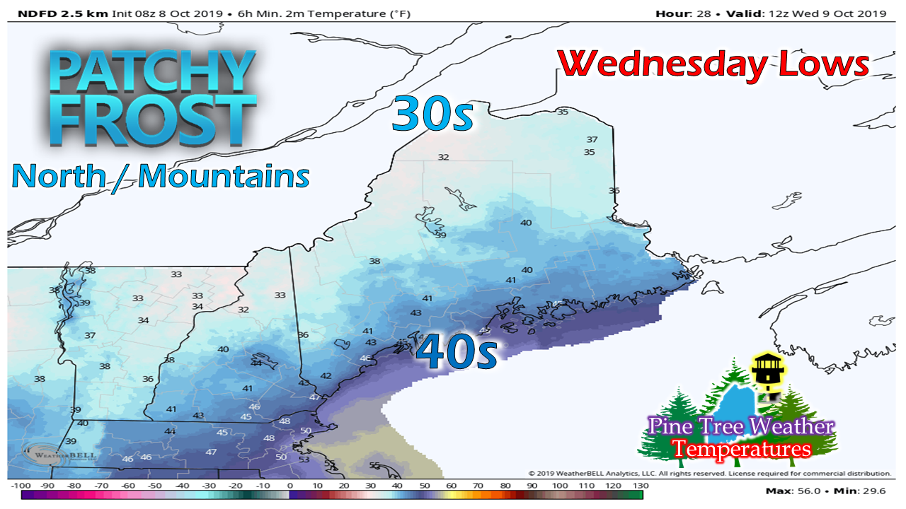
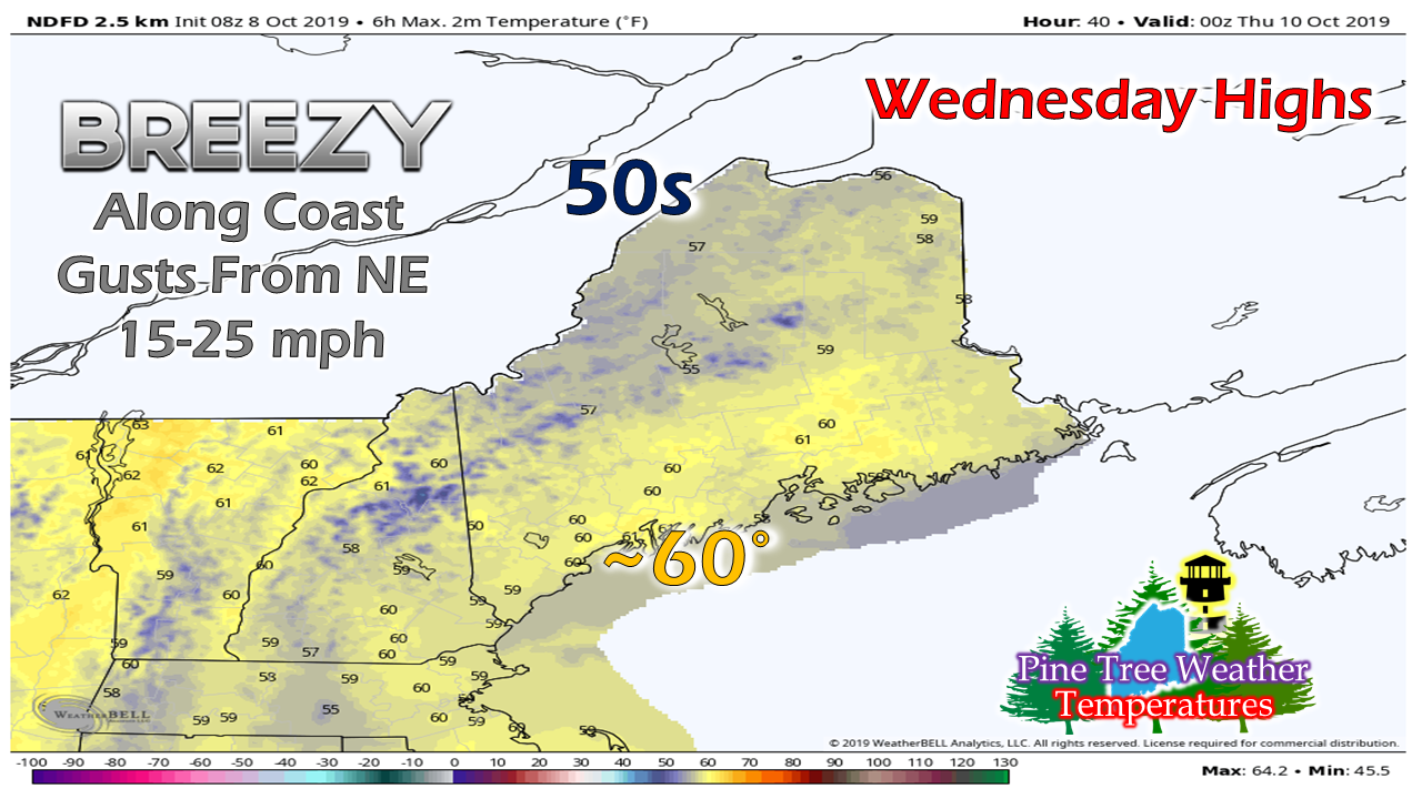
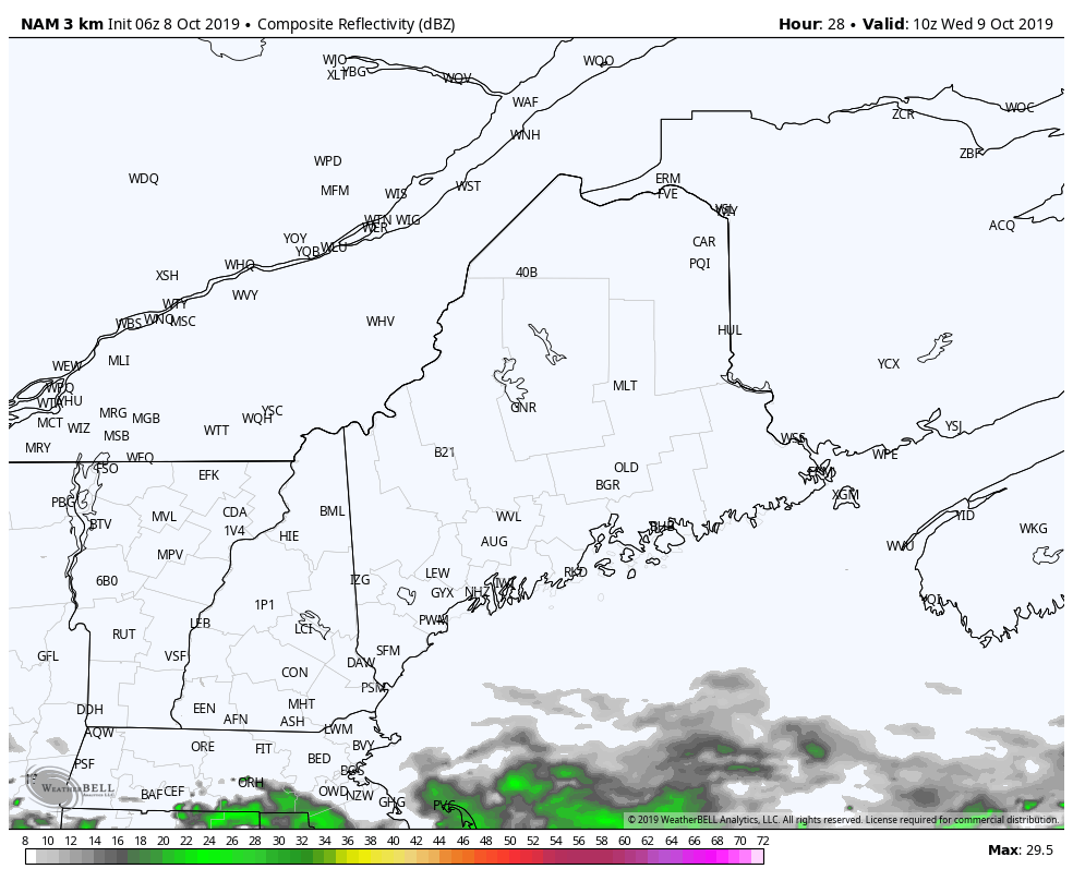
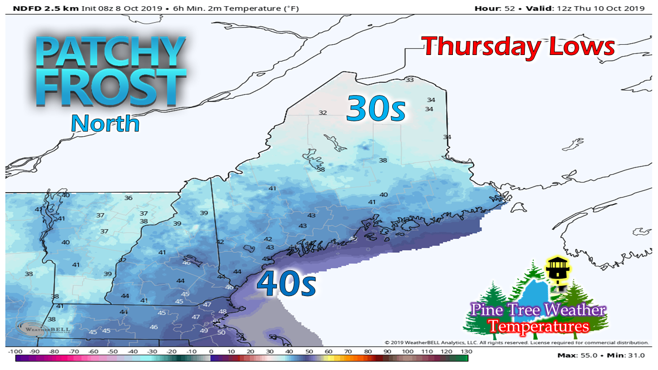
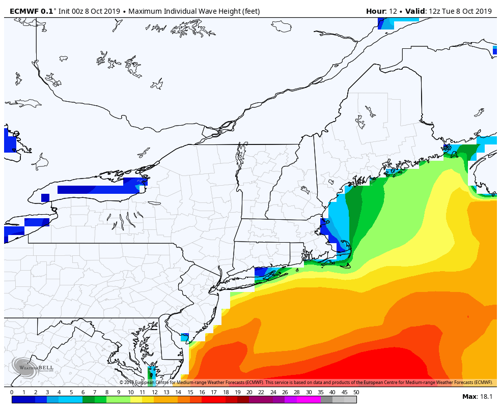
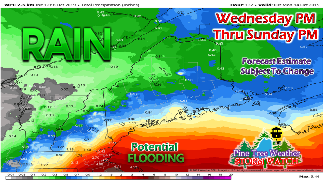
Synopsis outlook: Coastal areas need to pay attention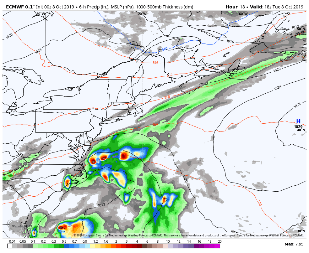 As the cold front that passed through the region Monday night heads out to sea, an ocean storm develops and becomes trapped due to high pressure to the west, north, and east. The storm will be flirting with the 40°N / 70°W benchmark area, and will be close enough to bring impacts to parts of the state beginning Wednesday, and could linger through Sunday. A dry, breezy day Tuesday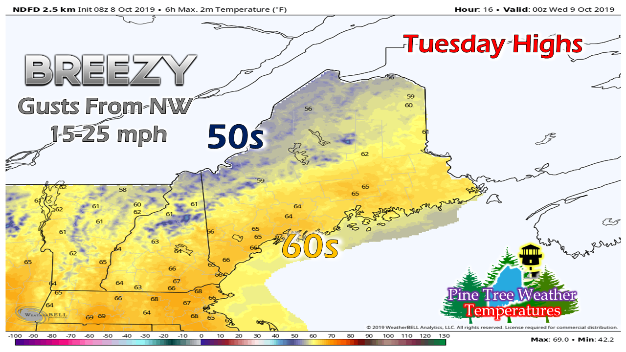 As the cold front moves offshore, any showers early end and the sky will begin to break up. A northwesterly flow brings drier air into the region. For southern areas, this may be the last dry day for several days. 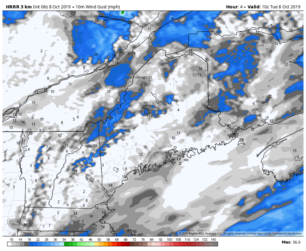 Wind gusts could range in the 15-25 mph range in areas through the day, settling down this evening. Clouds increase and rain develops |

Mike Haggett
|