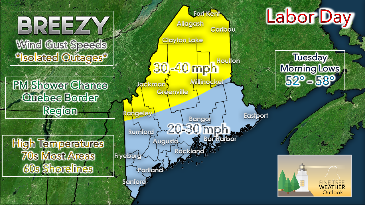
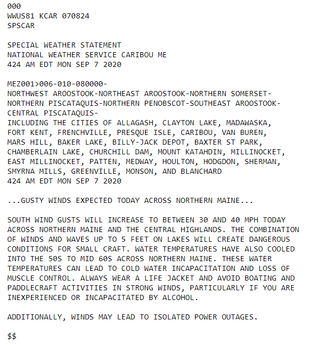
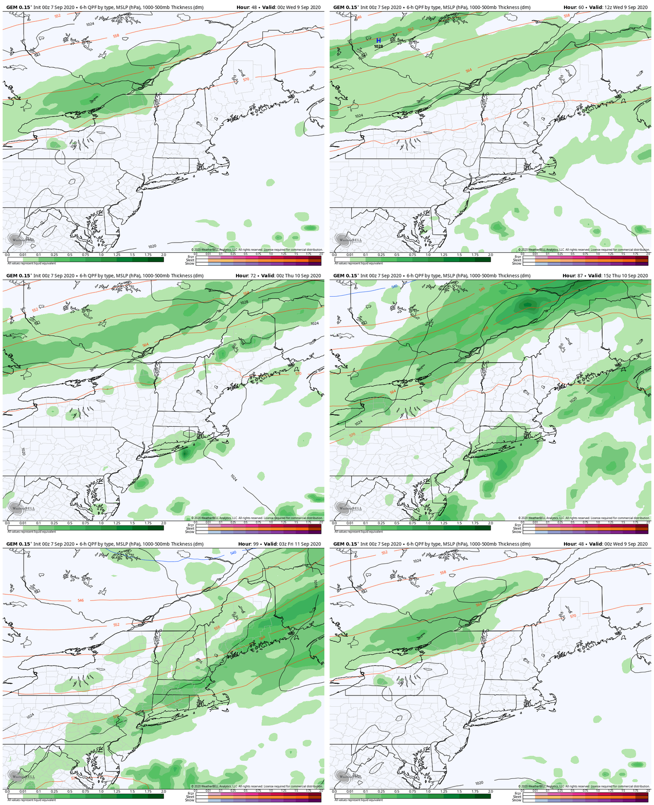
Isolated power outages possibleA strong area of low pressure near James Bay is causing as steep pressure gradient to the east of it. Wind will pick up from the south and be gusty at times, with northern areas of the state seeing the stronger gusts. A weak cold front passing through the St. Lawrence River valley appears to break up as it reaches the Quebec international border. Showers associated with it may hang on and bring a quick shower or perhaps a thunderstorm from Rangeley on up to Fort Kent late in the day. It will be a comfortable day with dew point values in the 40s to low 50s. Folks hiking or boating in the north country should be advised of hazards of the strong winds and should plan accordingly. The wind will settle down overnight into Tuesday. Brief outlook for the week aheadMainly dry conditions continue for the region through the week. Dew points will gradually rise Wednesday as a ridge noses in from the southwest. A slow moving cold front approaches the region Thursday. This will bring our best chance for shower activity. This should clear the region by Friday morning. High temperatures appear to be in the 70s for most areas through the period, with upper 60s for the north and mountains Friday and Saturday. Overnight lows range in the 50s through Thursday, before falling into the 40s to low 50s Friday. Windy conditions can be hazardousClear isn’t always calm. Even on a clear day, strong winds can be dangerous. Objects that are not secured can be rolled or tossed. Use caution when driving, especially high-profile vehicles. weather.gov/safety/wind Stay on alert and stay updated!
For more information, please follow Pine Tree Weather on Facebook and Twitter.
Thank you for supporting this community based weather information source that is funded by your financial contributions. Stay updated, stay on alert, and stay safe! - Mike |
Mike Haggett
|


