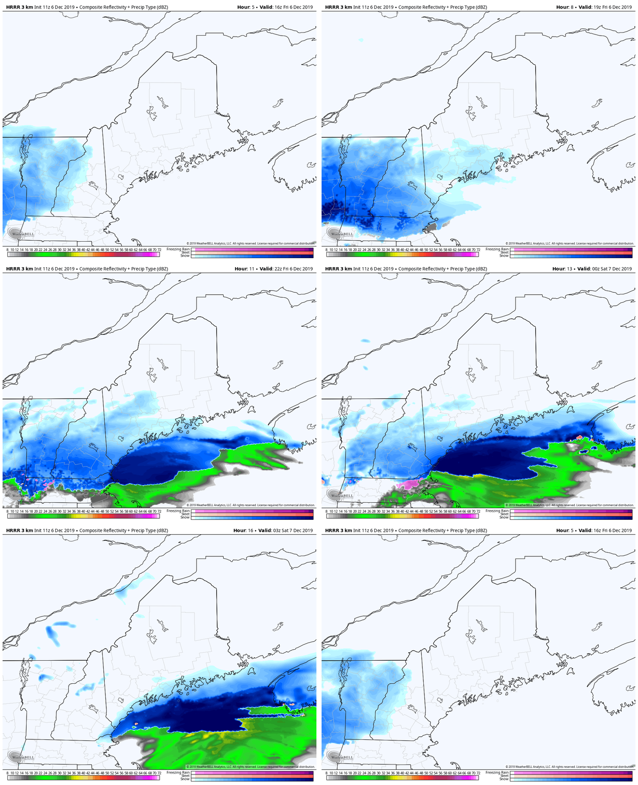
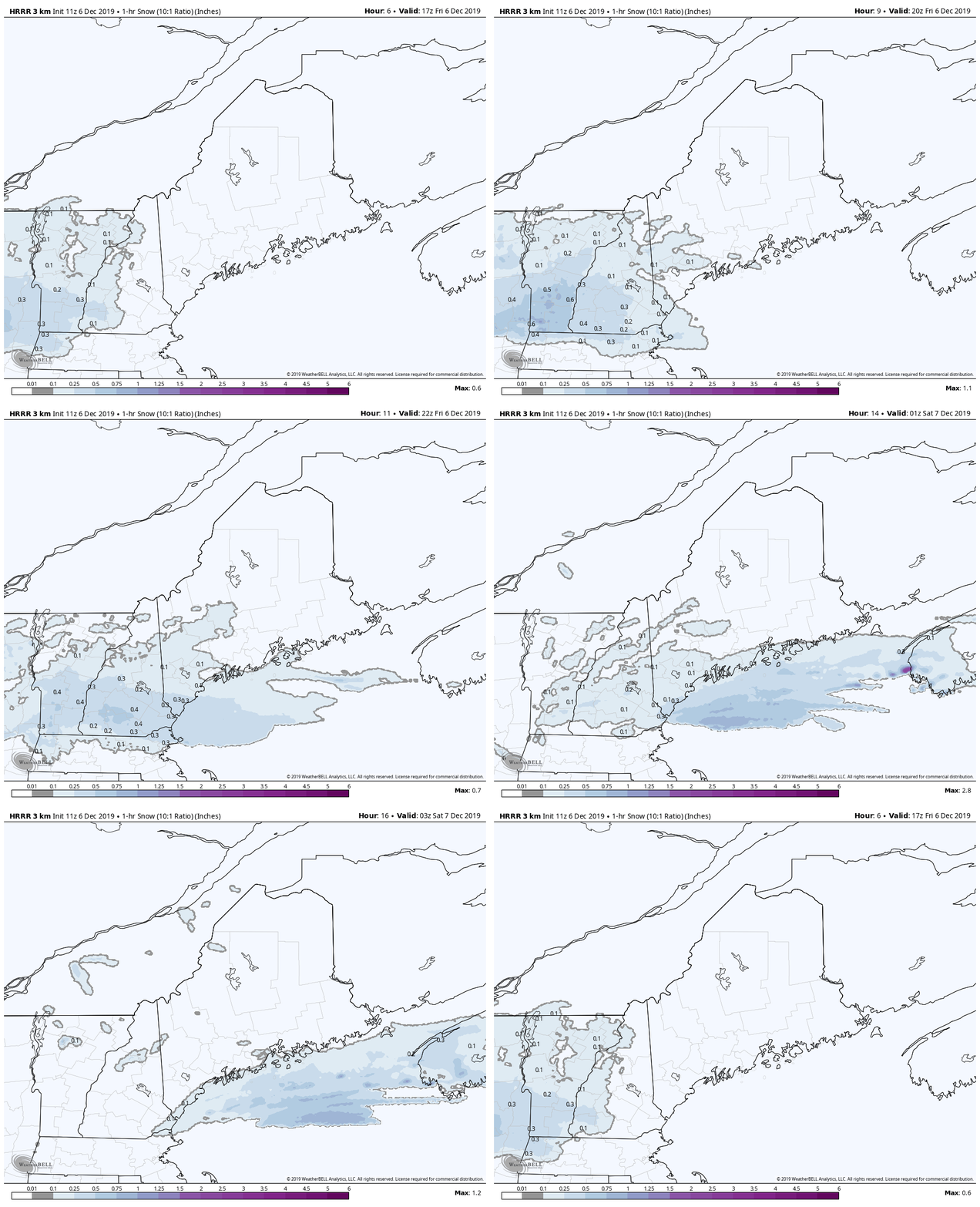
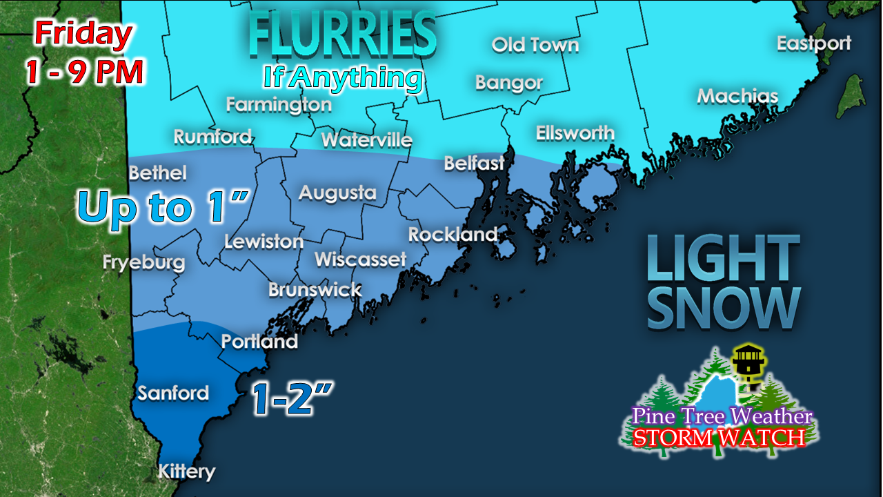
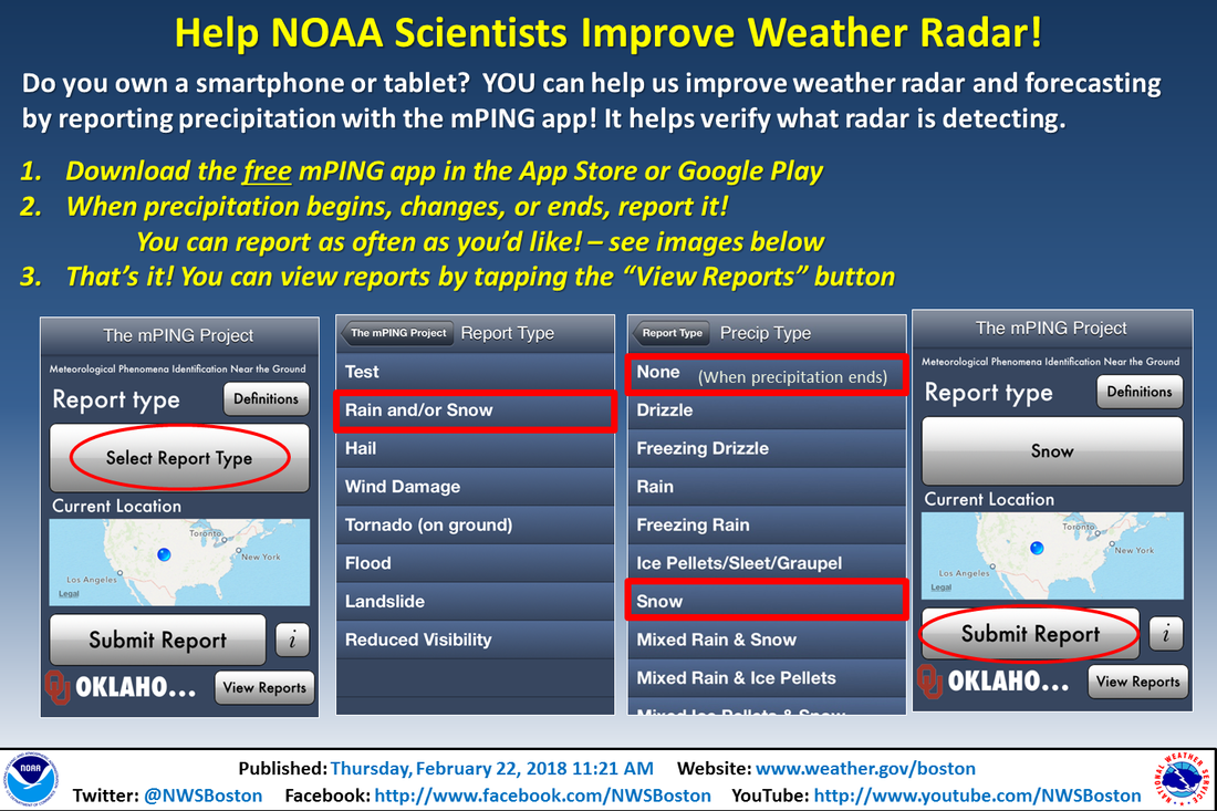
Just enough to make the evening commute slickClouds increase as a weak wave works through the region Friday afternoon. I am not expecting a whole lot of snow out of this, but it will be enough to cover roads and sidewalks, and create some slick spots. I am a bit concerned that shoreline areas south of Portland may get a bit more than the projected snowfall amounts as a surface low blossoms over the ocean as it moves eastward. It generally appears manageable as far as hourly amounts go. Suggested idea from the HRRR model thinks anywhere between a tenth to four tenths an hour, with the heaviest falling around 6-7 PM. For most areas, this is over by 9 PM. Again, shoreline towns may see a bit more (3") roughly Portland south. These types of systems can be rather sneaky pending on how the energy associated with it engages with the ocean water. Expect a slow ride home in areas over southern areas, and expect visibility reduced in areas. ► ► For the latest official forecasts, bulletins and advisories, please check in with the National Weather Service in Gray for western and southern areas, or Caribou for northern and eastern parts of Maine. Please #mPING today!Maine needs mPing support from residents to better assist weather forecasters during storms. It's simple, easy, anonymous, and a totally free way to report weather conditions ► http://mping.nssl.noaa.gov Thank you for your assistance! Your help is needed to get to the fundraising goal!► ► $500 shortfall for the year ahead! You can help keep Pine Tree Weather going with a donation of any amount now through VENMO @PineTreeWeather, a monthly donation on Patreon or messaging me on Facebook or Twitter to send a check in the mail. Thank you for your support!
For more information from me, please check the Pine Tree Weather Facebook page as well as my Twitter feed. Always stay weather aware! - Mike |
Mike Haggett
|


