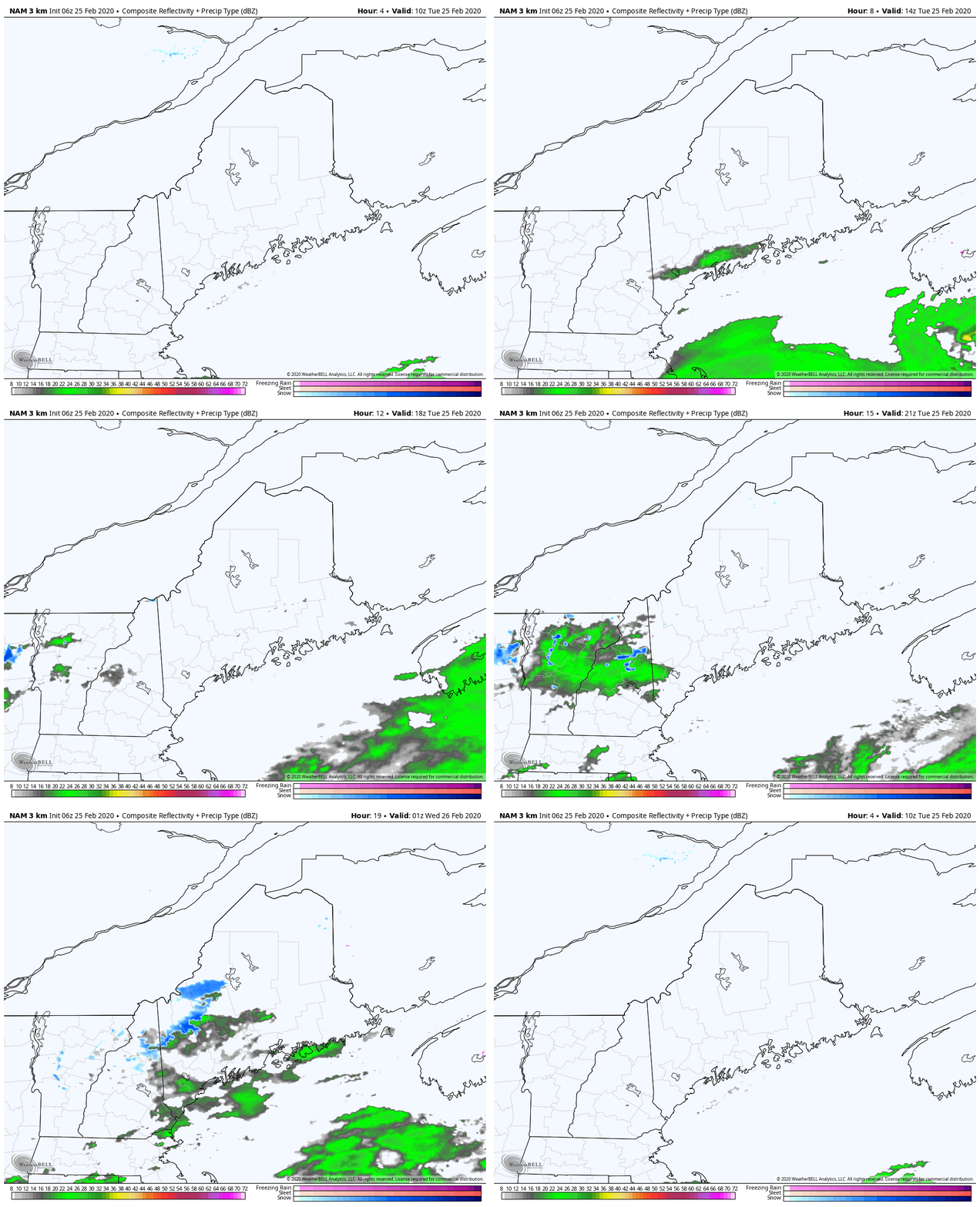
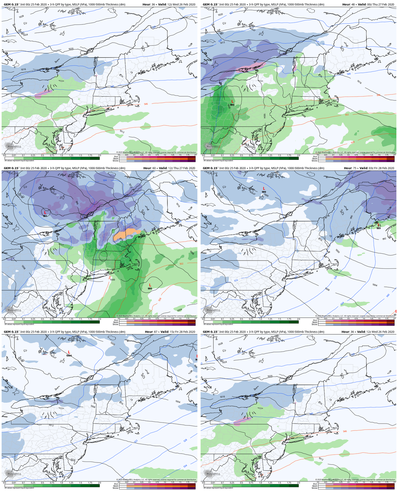
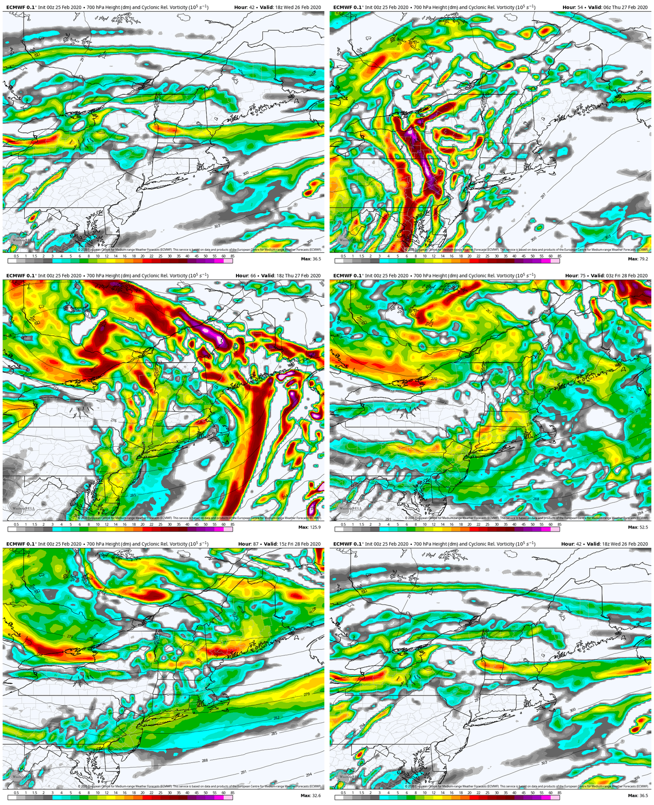
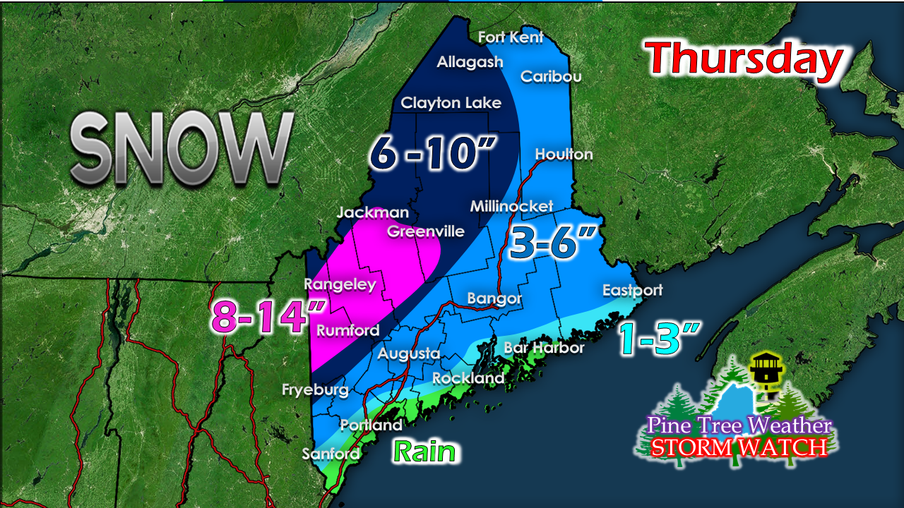
A decent storm on the way for the mountainsA winter storm watch has been posted by both the Gray and Caribou weather offices for much of the interior counties of Maine for Thursday. Guidance is more or less locked in on the idea of a solid snow event for the western mountains up through the Allagash. There are still some questions for eastern Aroostook on down to the DownEast coast. Away from the shorelines, expect travel to be slick Thursday, and more hazardous further inland. A few showers / sprinkles southwest TuesdayA weak disturbance grazes southern and western areas Tuesday. It may bring a few sprinkles or snow showers over southern and western areas, but it does not appear to amount to a whole lot. It will be a mainly gray day for most of the state. High temperatures range from the 30s north to the 40s south. Wednesday will feature more of the same with hit or miss precipitation, with cooler temperatures in the 30s for most of the state. A solid snow event for interior areas ThursdaySouthwestern coastal areas see mainly rain out of this one, but for the rest of the state this is primarily a snow event, with the chance for some mixing for coastal interior areas. As the pattern has been as of late, a Great Lakes low spins off a coastal low and moves fairly quickly through the region. Conditions go downhill Wednesday night. The Thursday morning commute appears messy for western and central areas; the Thursday evening commute a mess for northern and eastern areas. For the most part, this storm is over by Thursday night into early Friday. A look at energy at around 10,000 feet above sea level shows plenty of it. Confidence is good that ski country will get a good thump of snow out of this Thursday, with snow showers continuing into Friday. For my outdoor winter enthusiasts, enjoy this. Temperatures start to warm up next week. Spring is on track to come early this year. Go to the hills. Play hooky from work. Just go. As I mentioned earlier, there is a bit of a question mark for eastern Aroostook and interior coastal areas that may be adjusted. Through Friday, ski country could get as much as 18" out of this. Southwestern coastal areas may pick up as much as 1" of rain.
Stay tuned for updates. ► ► For the latest official forecasts, bulletins and advisories, please check in with the National Weather Service in Gray for western and southern areas, or Caribou for northern and eastern parts of Maine. You can help keep Pine Tree Weather going into the future with a donation of ANY amount now through VENMO @PineTreeWeather, a monthly donation on Patreon or messaging me on Facebook or Twitter to send a check in the mail. Thank you for your support! Always stay weather aware! - Mike |
Mike Haggett
|

