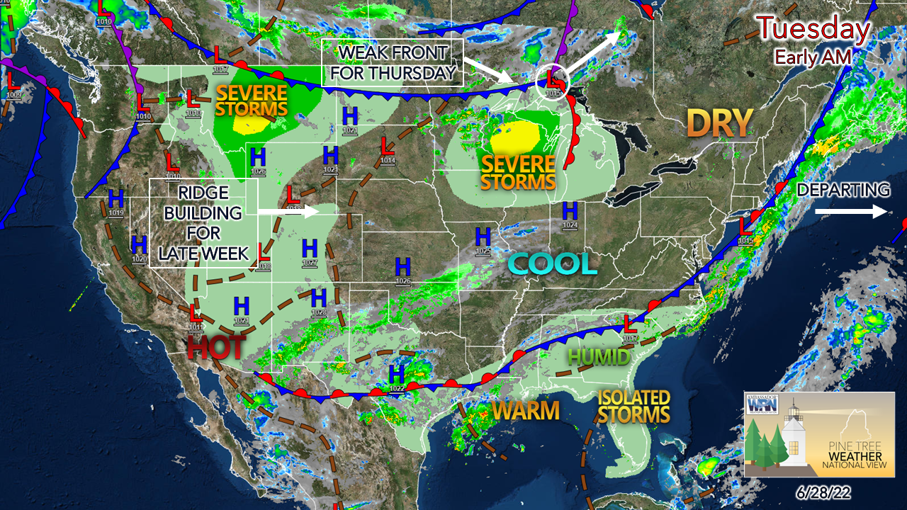
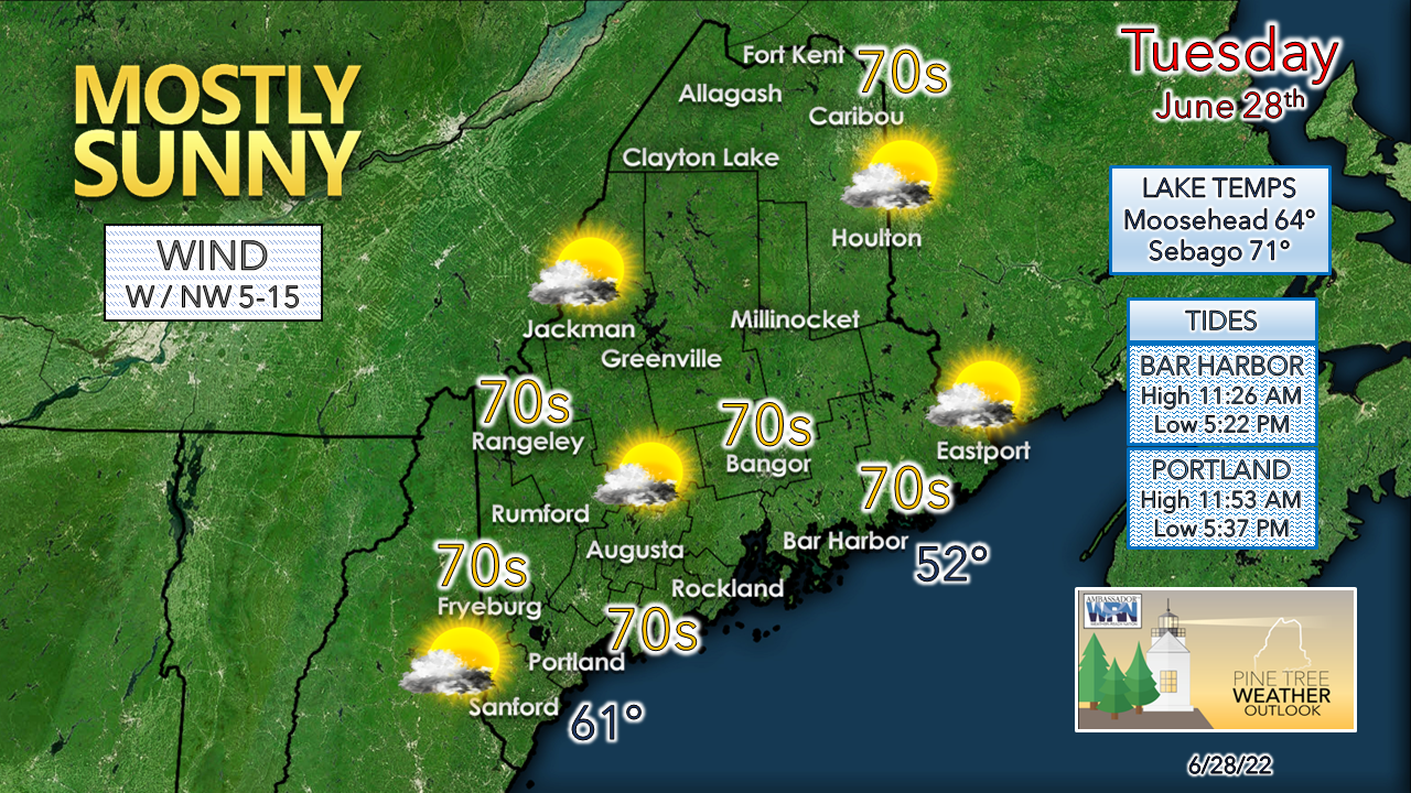
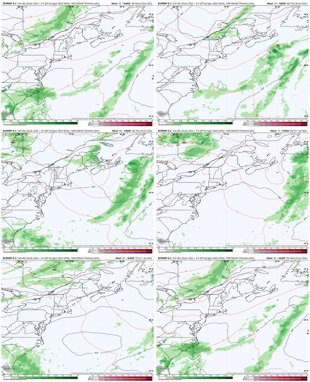
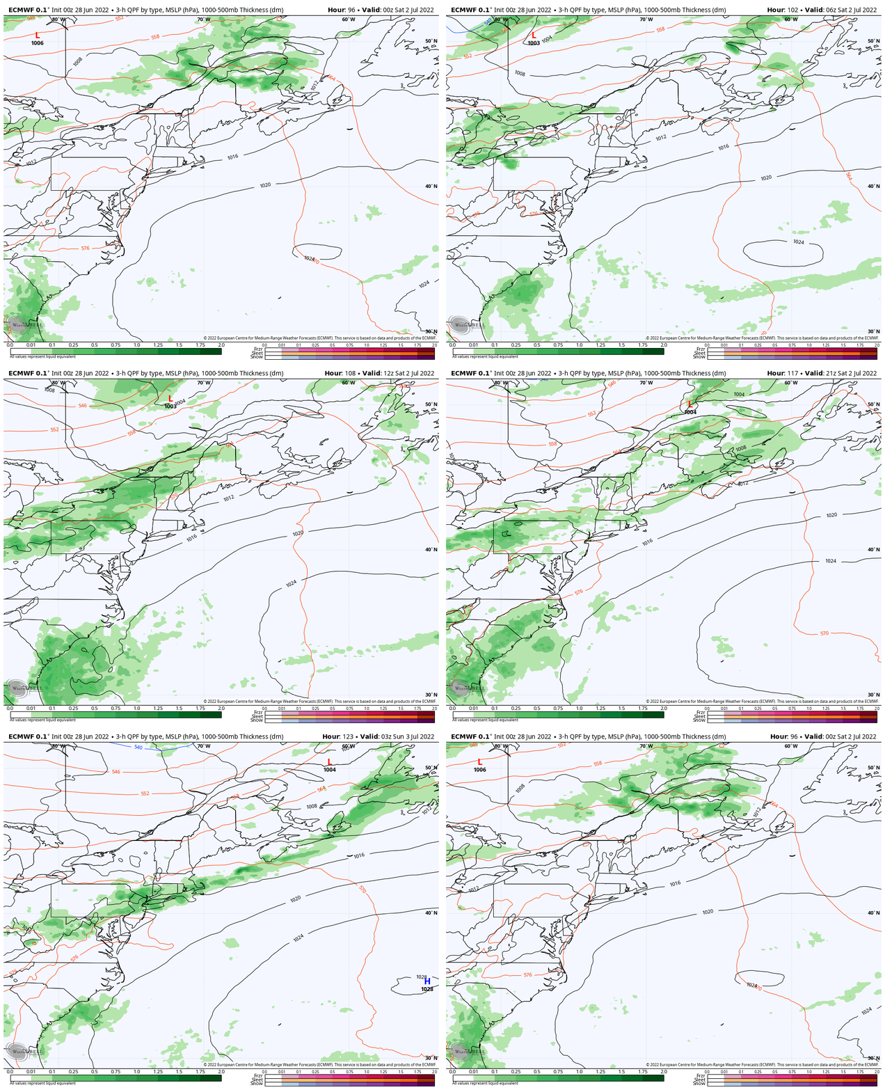
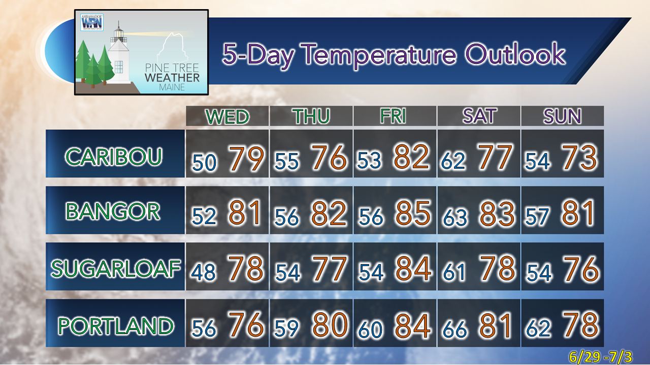
Quiet through WednesdayShowers over far eastern areas of the region are on track to move east early on Tuesday. Dry air filters in from the northwest. A trailing shortwave may bring a sprinkle for western areas, but popcorn cumulous is the more likely solution. The sky clears out as the heating of the day cools of heading into Tuesday night. With the northwest breeze, coastal areas are the likely warm spot for the day with temperatures topping out in the upper-70s. The immediate shorelines may see a sea breeze engage in the afternoon which will cool the mercury there. Overall, a beautiful day across the region with dew points in the upper 40s to mid-50s. Late week ideas beginning to take shapeWednesday 2 PM to Friday 8 PM - A weak clipper is expected to pass through the region Wednesday night into Thursday morning and could bring some widely scattered showers over the interior. On the heels of that, a warm front moves in from the west. A disturbance riding along the advancing ridge may pop some shower activity over the far northern areas early Friday and hang over the rooftop of the state through the day. Friday 8 PM to Sunday 2 AM - Humidity begins to increase Friday night as a cold front advances into the region from the northwest. Timing is still to be ironed out, but the general idea calls for scattered showers with a chance for thunderstorms on Saturday. I don't expect it to be a washout at this point, but there could be a few spots that could see moderate to heavy rain pending on timing and development of convective showers and storms. For those camping, it would be wise to stay updated on the forecast and keep the storm threat in mind for now. Once the front clears, humidity levels drop, and the rest of the holiday weekend appears dry with comfortable temperatures. Temperature outlook through SundayThank you for supporting this community-based weather information source which operates by financial contributions from people like you. Stay updated, stay on alert, and stay safe! Have a great day! - Mike NOTE: The forecast information depicted on this platform is for general information purposes only for the public and is not designed or intended for commercial use. For those seeking pinpoint weather information for business operations, you should use a private sector source. For information about where to find commercial forecasters to assist your business, please message me and I will be happy to help you. |
Mike Haggett
|

