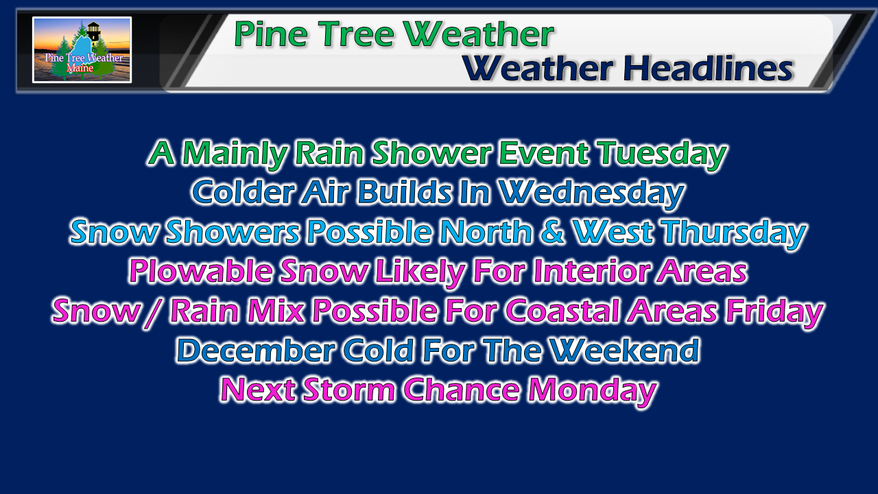
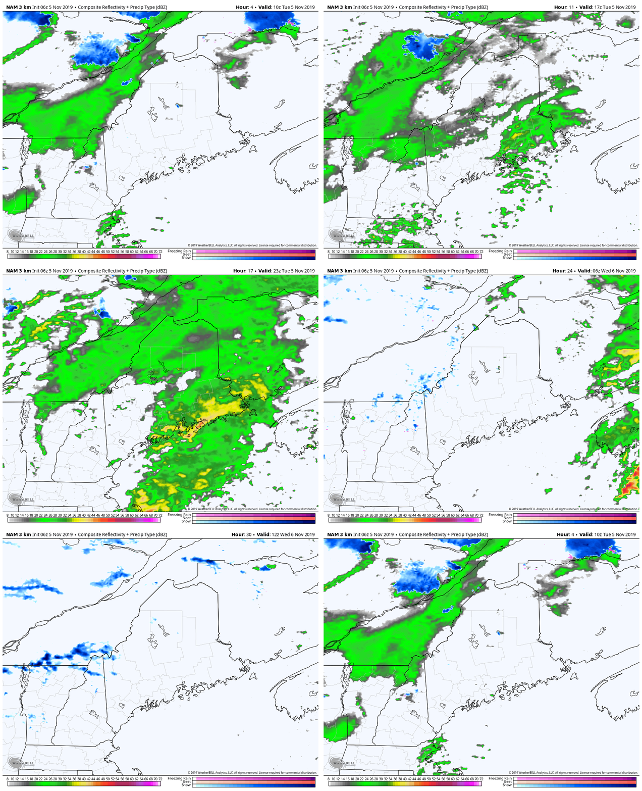
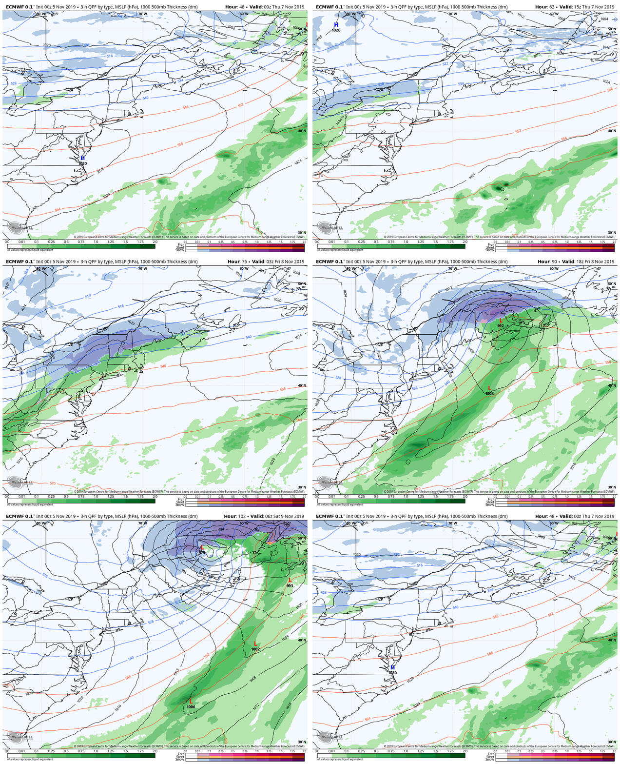
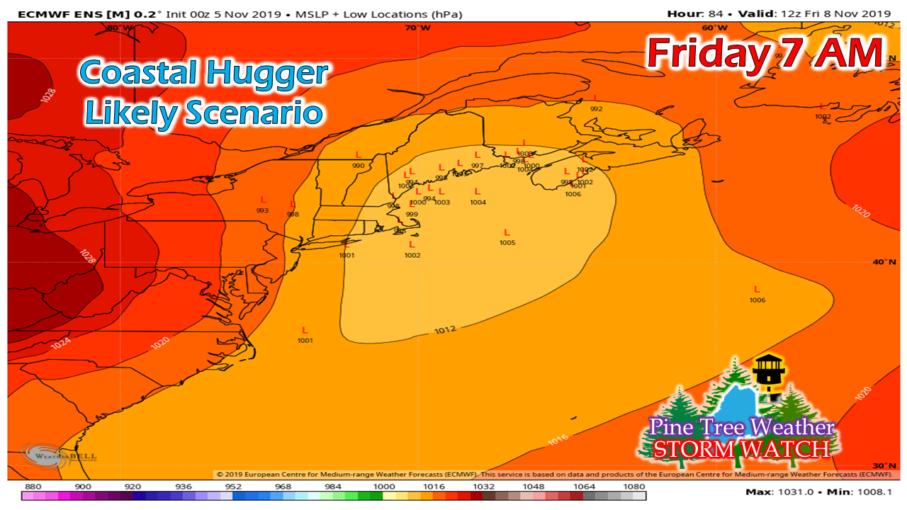
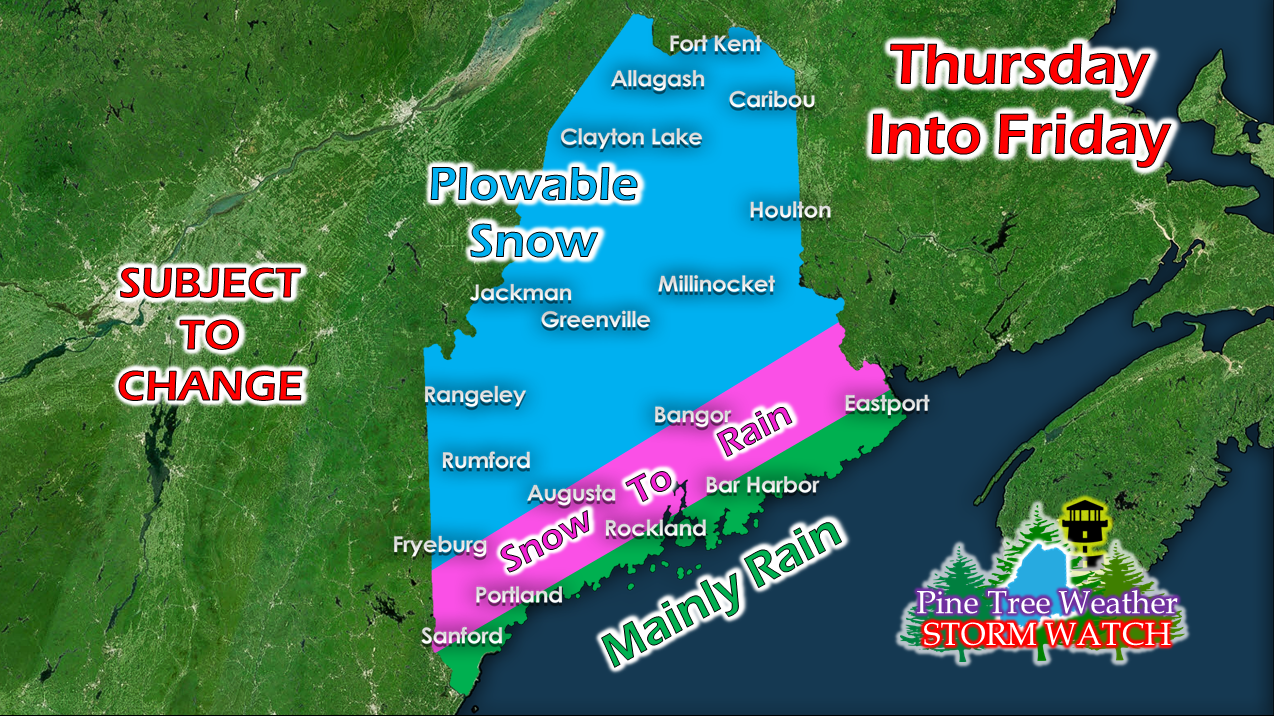
Unsettled pattern overall through the next weekGuidance is coming into line with more agreement on how the late week storm is going to play out. There will be some fine tuning to come, but the general idea is there. It does appear to be a messy day for most on Friday. The first of the season snow is always a challenge for travel as people either get caught without proper tires and/or underestimate how slick the conditions actually are. First, we have some rain to deal with. Tuesday a cool, showery dayA cold front sweeps through the region today. This appears to be a mainly rain event for most. Higher elevations may see a mix of snow and rain. Showers begin to taper off in the afternoon into the overnight hours. The day will generally be mild, with high temperatures in the 40s north & mountains, 50s for the coastal region. After the front passes, some snow showers are possible for the higher elevations into Wednesday morning. Temperatures fall to the 20s to around 30° for the mountains and north, with 30s the rule for most of the coastal plain. Wednesday will be a chilly one as a cold northwest breeze funnels in. Actual highs will be in the 30s for the interior, 40s to around 50° for the coastal plain. With the wind chill, it will feel 10-15° cooler than that. Friday storm coming into focusOvernight model ideas have backed off the rapid intensification idea that has been on the table for the past few days, which is good news after all of the recent beatings the region has endured. That cuts down on the wind and surf impacts, if this trend continues to hold. The pieces of the storm come together rather late, as low pressure may not get organized in time for the big pummeling to occur. Regardless, this is a snow event, and it will cause hazardous travel across much of the region. Snow showers ahead of the frontal boundary kick things off Thursday over the western mountains. As the front approaches closer, precipitation becomes more widespread Thursday night into early Friday morning. Precipitation ends over southern areas by around mid to late morning Friday. The last of the remaining snow showers exit northern areas Friday night. There is still some play in forecast track with this one. Using the coast as a physical boundary, the closer to the shorelines brings a warmer solution to the coastal plain. If the storm tracks offshore, it brings a cooler one. This will be a tricky forecast to determine snowfall amounts for the coastal plain, as track means everything on who gets what and how much.
|
Mike Haggett
|

