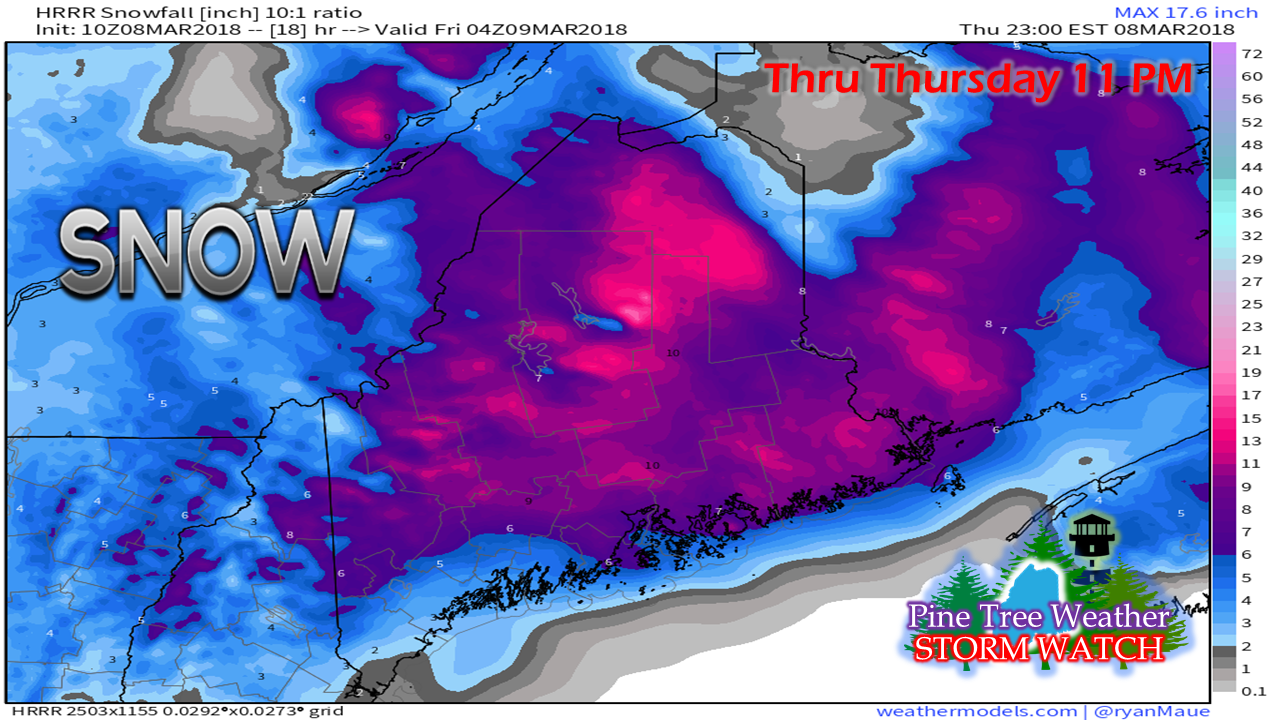
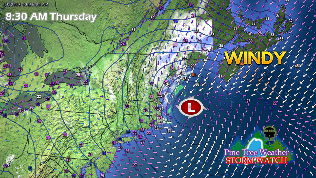
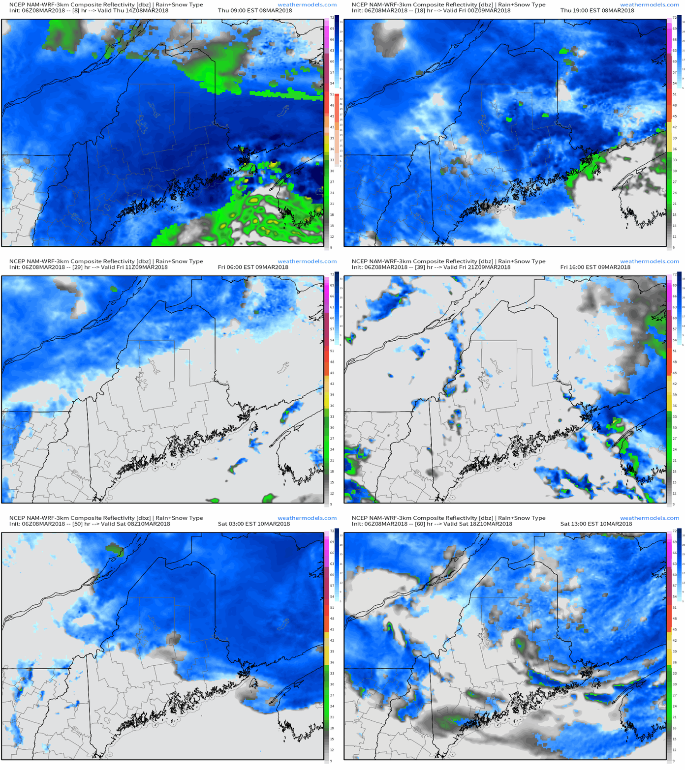
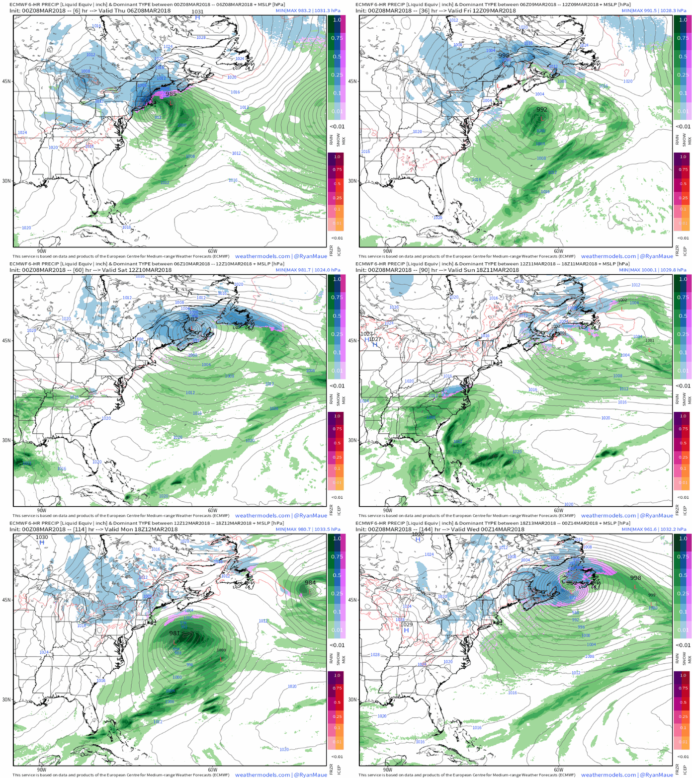
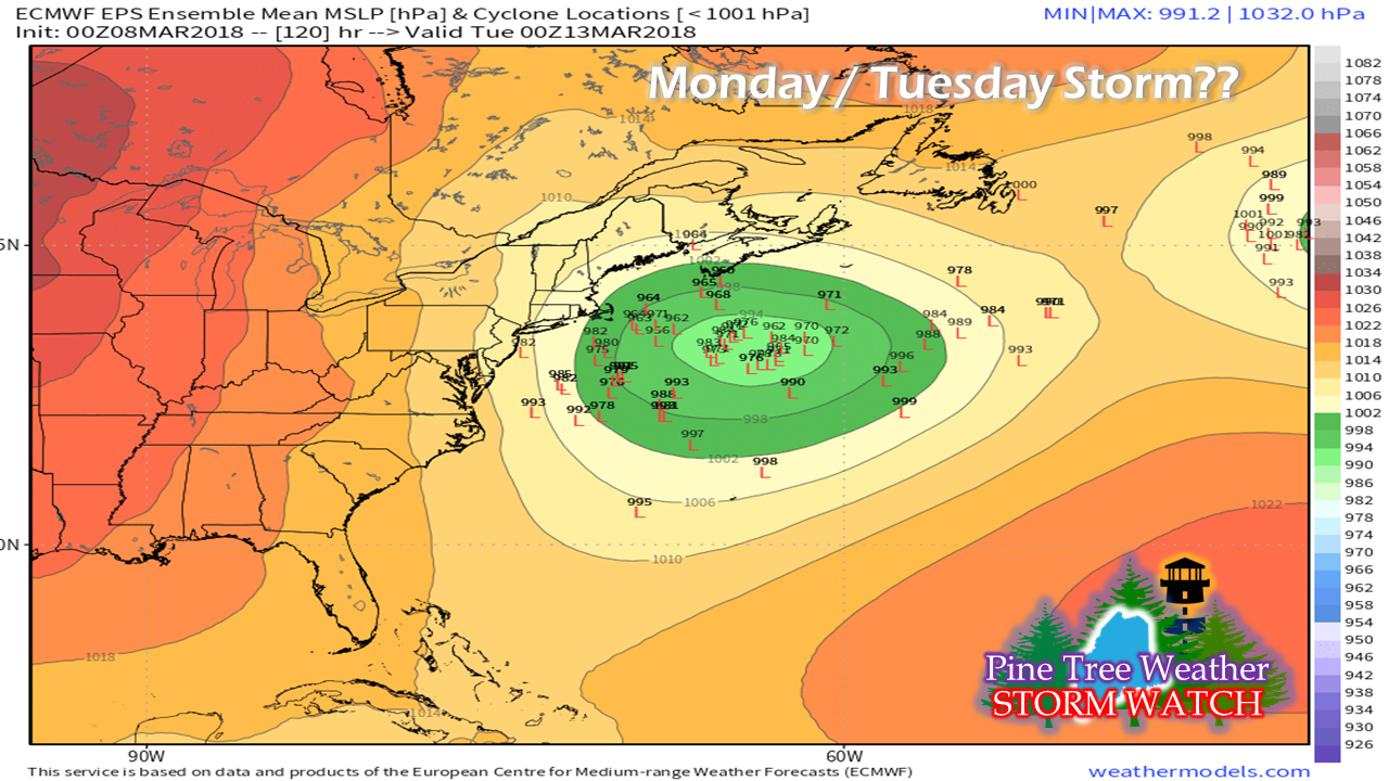
Still more snow to come for central and northern areasAt the time of this post at roughly 9:15 AM, southern areas in York County were seeing accumulations begin to taper from steady snow to snow showers. Using the HRRR short term model from the 6 AM run as a guide here for what to expect where you may be shows plenty of snow still to fall over much of the state. The storm slowed a bit as it made the hook around Cape Cod, which in turn extended this event. Winds are very gusty offshore reaching upwards of 60 mph during the 7 AM hour. The storm is weakening over the cooler waters of the Gulf of Maine as it approaches DownEast areas this afternoon. As the storm lifts to the north, snow tapers to snow showers before tapering off from the south to north by around midnight. Energy from this system taps into another storm brewing near Bermuda which will impact our weather picture Friday afternoon into Saturday with steadier snow for eastern and northern areas, snow showers for western and southern areas. Another storm possible early next week...This loop here is an idea proposed by the ECMWF model from Wednesday evening shows our current system, the trailer for the weekend, along with another potential storm for early next week. While the operational side of this shows the system staying to the south and east, ensembles paint a slightly different picture... There is plenty of room for error with this one. Some guidance has the track closer to the region. For now, we'll call it a chance for a storm Monday into Tuesday and leave it at that. Personal UpdateI am doing my best to keep up with the weather activity and pass along what I can, when I can. I am in the process of buying a home and unloading the current one. I am closing on the destination property this coming Wednesday, and my current place is under contract to be sold. To add, I have a full time real job, and a family with health related issues going on. I may not update as quickly as normal, and I may even drop out of sight for a period as I deal with the issues in front of me.
Some people have voiced concern of whether or not I will continue full state coverage. I will say at this point my plan is to continue that. When I started this peanut whistle operation seven years ago, I had the idea that I wanted to take it to higher level. I am not abandoning that idea. What started out as Western Maine Weather turned into Pine Tree Weather as a result of requests from followers in eastern Maine. My plan is to continue to grow and become better educated and certified as a full fledged forecaster within the next five years. I am not the end all for your weather information. I am simply an accompaniment. I want you to check in with the National Weather Service and local media for information. My mission all along is to present it to you straight, cut down on the hype, and present possibilities. Forecasts bust from time to time. That is weather. I hold myself accountable for my own ideas, and am quick to point out my mistakes. With all that has gone on in my life recently, I have made more mistakes than I care for. I am doing the best that I can with the time I have to put into it, and at the very least show you the potential of events that are coming. Thank you for your understanding and your support. I would love any storm reports that you can give me on the Facebook page and Twitter. - Mike |
Mike Haggett
|

