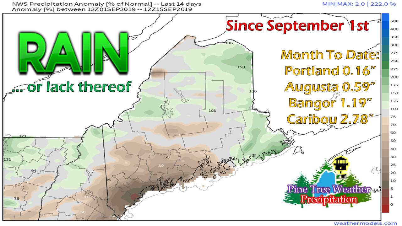
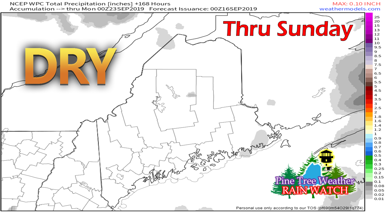
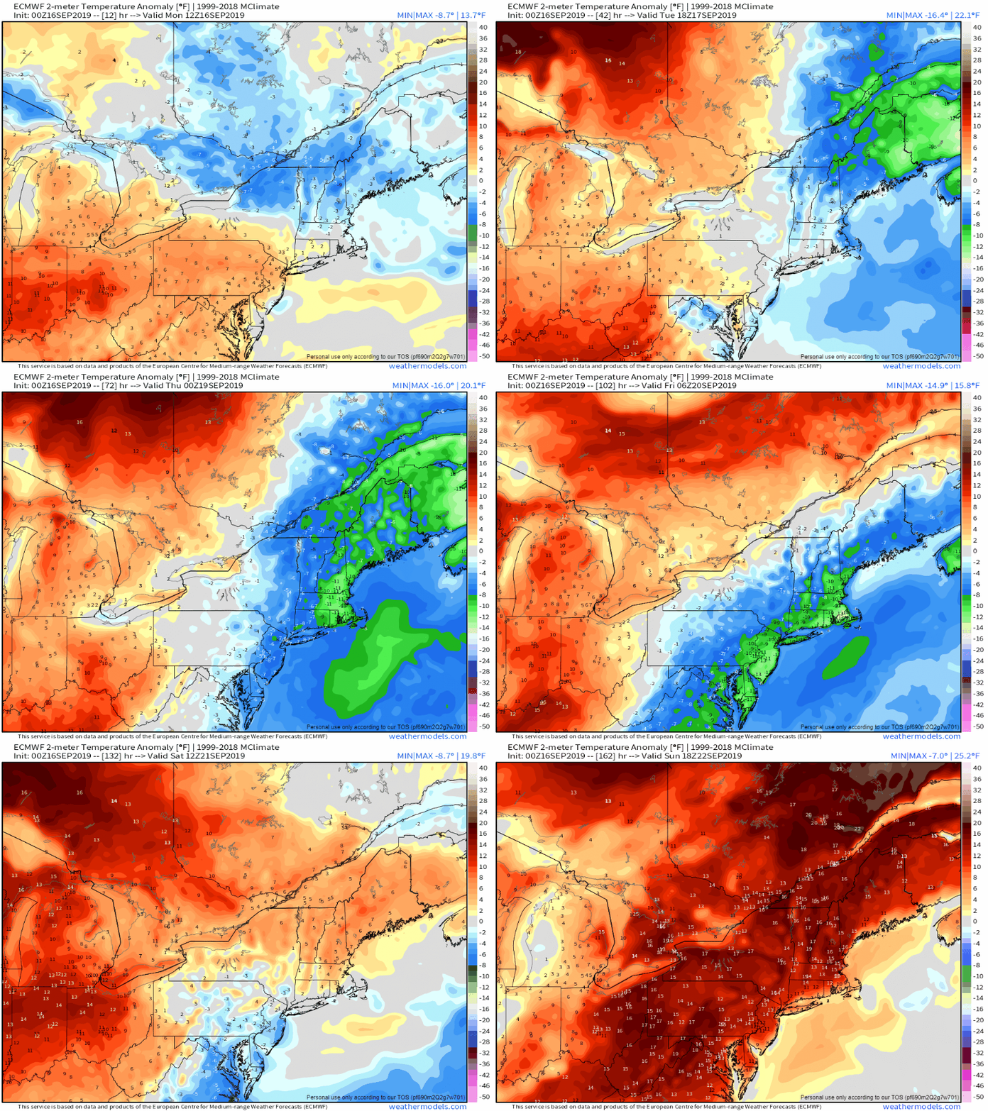
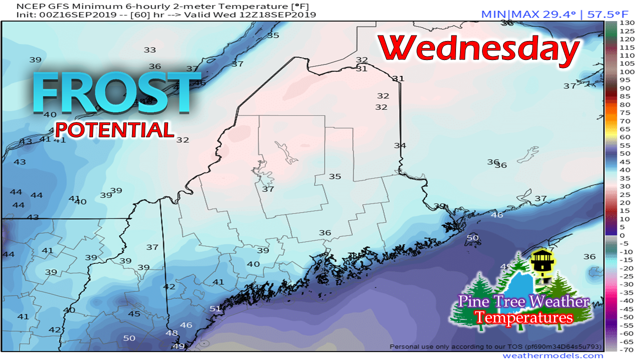
The haves and have notsIf it were not for Hurricane Dorian, I suspect there would be much more brown on this chart of anomalous rainfall than green. Most of the recorded rainfall for the eastern half of the state came from that one storm. northwestern areas around Jackman over to Moosehead have received their rainfall from the frontal boundaries passing through southern Quebec that picked up a charge of moisture from the St. Lawrence, then run out of moisture as the move to the south and east. It's bone dry for southwestern areas, as well as the MidCoast. It appears that it will stay that way for a while. Unless something tropical flares up that could bring some remnant rainfall, I don't expect a whole lot of rain for southwestern areas through the end of the month. I suspect zonal flow and weak clippers may assist the rain gauge in the mountains and north as we head into next week. While much of Maine is not officially in any level of drought status as of yet, I suspect the if the current trend continues, that it could be soon. Generally below normal temperatures |
Mike Haggett
|

