
Sunday night: Cool temperatures from past cold front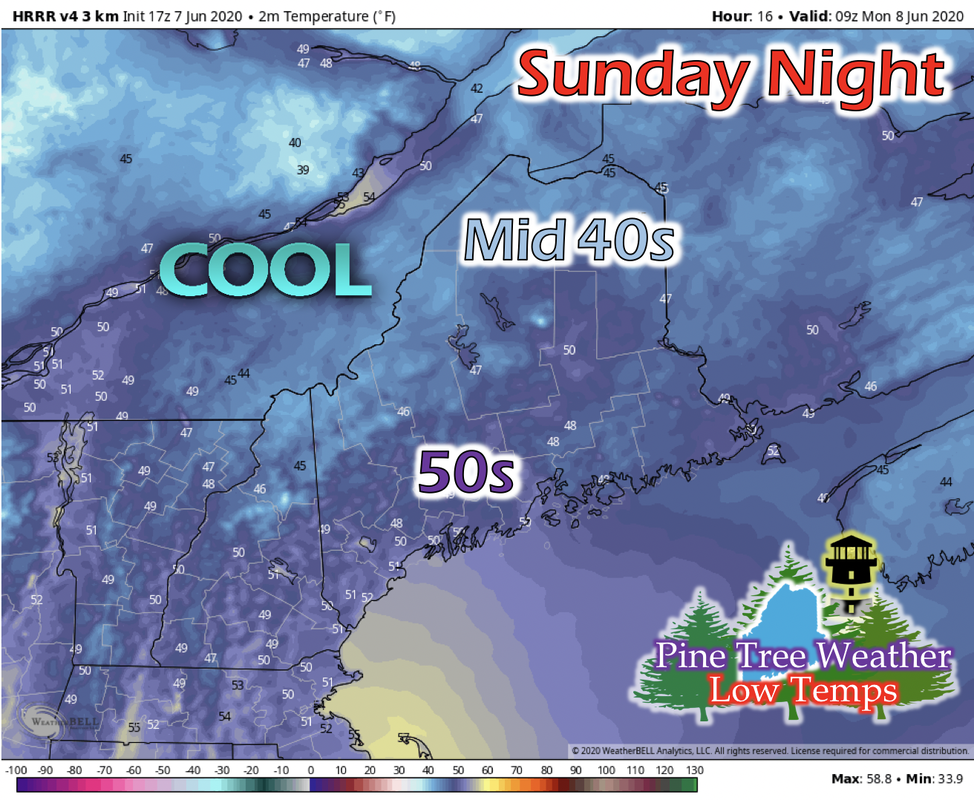 As a result of the cold front passing through yesterday, northwesterly winds and colder air will keep nighttime temperatures cool tonight. Northern regions of Maine are expected to have low temperatures in the mid 40s, and elsewhere to have low temperatures in the upper 40s/low 50s. Monday: Warm and dry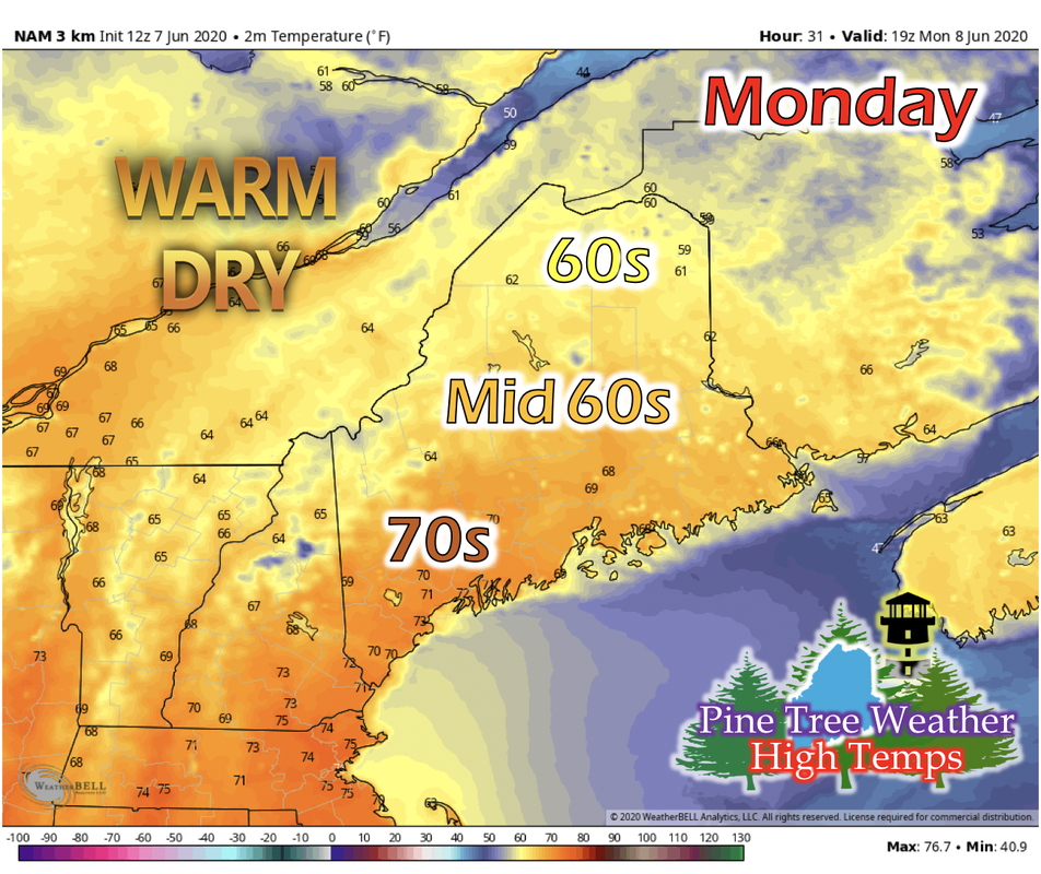 A Canadian high pressure system begins to build on Monday resulting in continuous northwesterly winds that bring cooler and drier air into the state. Northern Maine is expected to have a high temperature in the 60s, central and Down East Maine to be in the mid 60s, and the Portland area to be in the 70s. Dew points statewide will be in the 40s, with isolated ares having dew points in the upper 40s in the Portland, Maine region. Although a high pressure system will keep most of the state clear of clouds, the exit region of a jet streak north of Maine could produce some fluffy cumulus clouds for northern Maine and result in partly cloudy skies. Tuesday: Another warm and dry day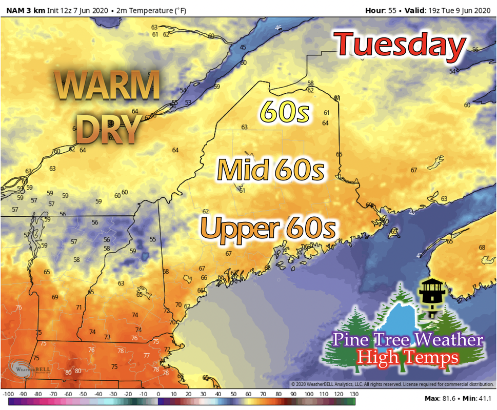 As the high pressure moves east in Canada, Maine will be seeing a trend of warm and fair days. Northern Maine will see a high temperature in the 60s, central Maine in the mid 60s, and Down East and southern Maine in the upper 60s. Parts of the Portland region could see temperatures hitting 70 or slightly warmer. Dew points increase slightly to the low 50s for southern and Portland areas, but northern Maine sees a slight decrease to upper 30s for some areas. The rest of the state looks to have dew points in the 40s. Looking Ahead: Rain and temperature outlook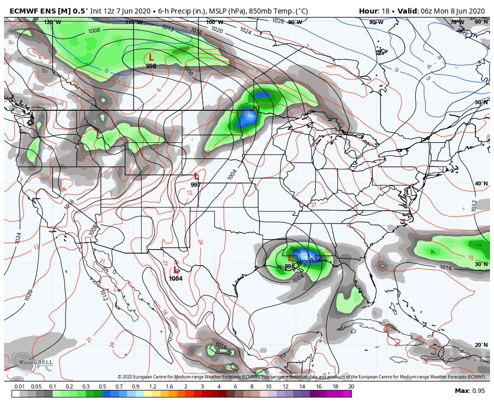 This GIF above runs from 1 AM Monday to 1 AM Friday. The warm and fair days won't last forever, unfortunately for some. Looking ahead with a long-range model, tropical storm Cristobal will make its way north into the continental United States, becoming an extra-tropical cyclone (ET-cyclone) and head into Canada, then travel east and over Maine. When this happens, the newly developed cold front on this ET-cyclone looks to move into Maine and bring precipitation with it for the end of the week. 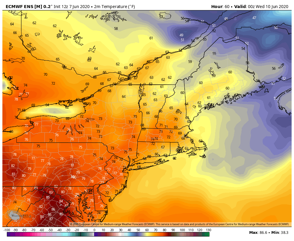 The GIF above runs from 7 PM Tuesday to 7 PM Thursday. Before the potential cold front passes into Maine on Friday, a warming trend is seen by a long-range model. The eastward movement of the Canadian high pressure results in this warming trend. Winds look to shift from northwestern to more westerly as this Canadian high pressure weakens through the week, and a new building high pressure system in western Pennsylvania gives the more western winds, bringing air that resided in the continental US that is slightly warmer than the Canadian air. Stay informed!
For more information, please follow Pine Tree Weather on Facebook and Twitter.
Thank you for supporting this community based weather information source that is funded by your financial contributions. Have a great Sunday and week! - Kaitlyn |

Mike Haggett
|


