Dry conditions arrive for Wednesday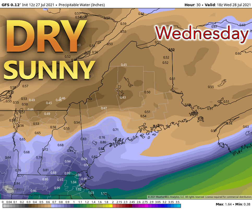 Wednesday should be a dry day across Maine as high pressure works its way into the region after the passing of a cold front Tuesday night. Behind the front, drier air will work its way in, making the air less humid and more comfortable. Temperatures will also be a bit cooler compared to Tuesday, staying in the 70’s in much of Maine with 60’s towards the north. An offshore wind should prevent the development of a strong sea breeze especially towards the southern coast where temperatures are likely to reach the 70’s Smoke clears out of Maine through Tuesday night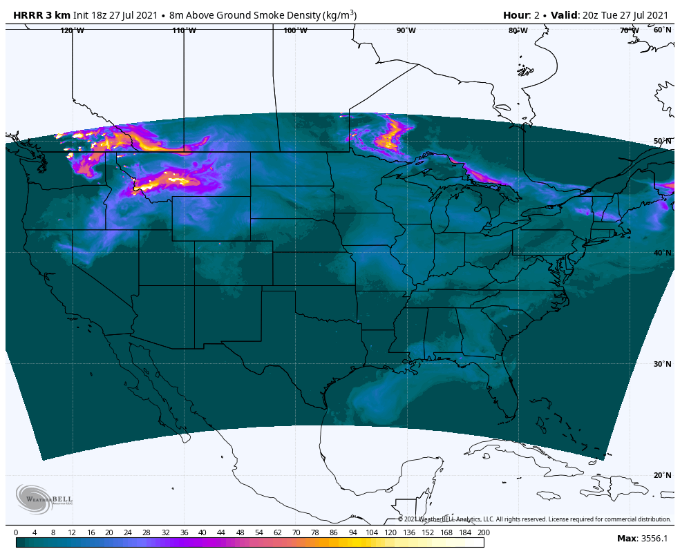 Better air quality is ahead for Wednesday as the passing of the front Tuesday evening will help to clear the wildfire smoke from the area. A chance for rain showers on Thursday On Friday, a shortwave trough will approach from the west, allowing some scattered showers to develop during the afternoon, primarily in the southern and coastal regions. Some humidity will also return, as moisture-laden air is drawn up from the south. Skies should be mostly sunny with temperatures in the 70’s, although the western mountains may still stay in the upper 60’s. Rain showers to close out the week on Friday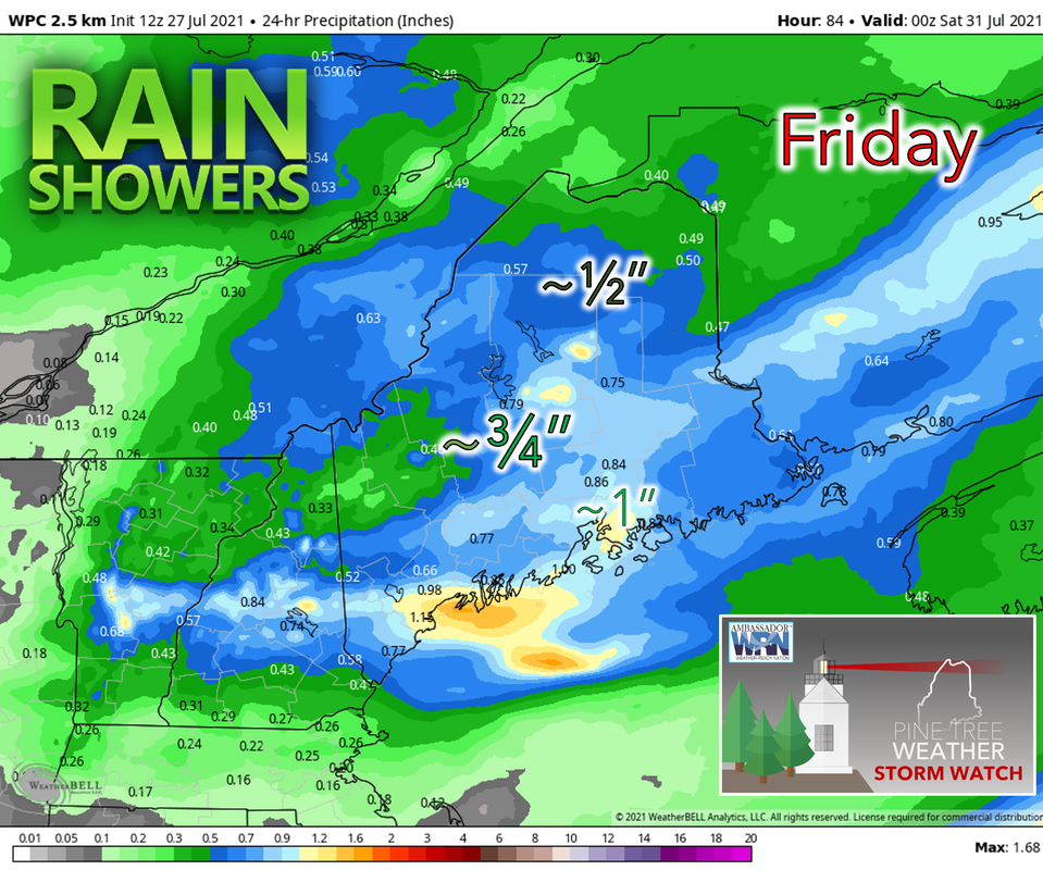 Beginning Thursday night, low pressure works into the area and some steady rain is possible during the overnight hours leading into the day on Friday. The system will move east during the day while producing lingering rain showers over central and northern Maine. Skies should be mostly cloudy towards the north and mostly sunny towards the south. Saturday looks dry with a chance for rain on Sunday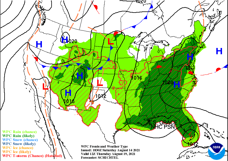 Saturday looks to start the weekend off with dry conditions and mostly sunny skies. Temperatures, however, will be on the cooler side, only reaching the 70’s towards the south with 60’s elsewhere. Sunday, pictured on the map above, will bring about the next chance for some rain as low pressure works into the area with both a warm and cold front passing through. The passing of the cold front will signify the start of a cooling trend beginning next week. Camping Safety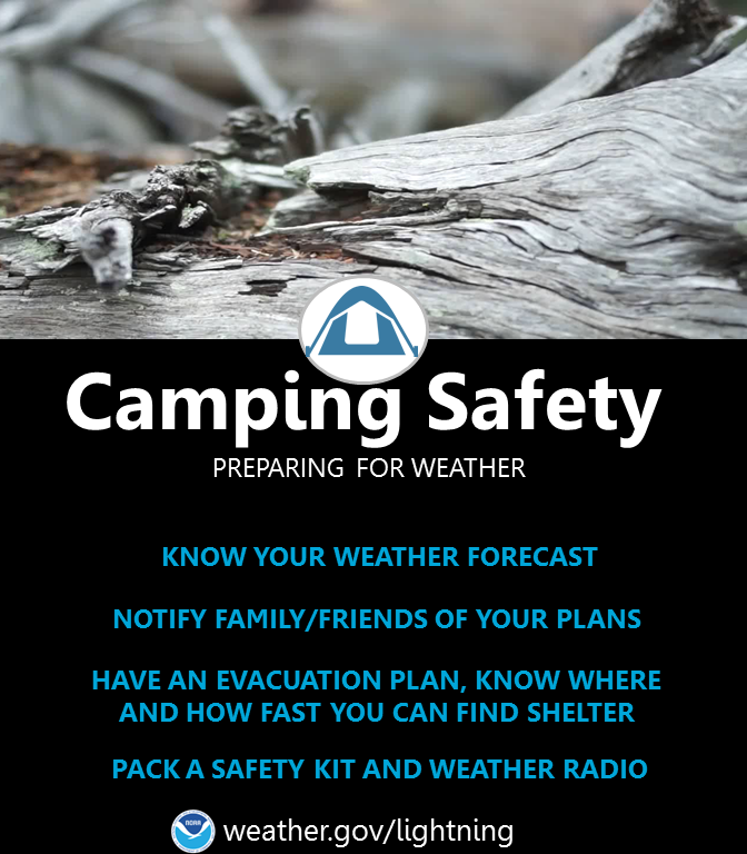 Going camping? Watch out for thunderstorms! Know your weather forecast and notify your family or friends of your plans. Have an evacuation plan and know where you can find shelter. Make sure to pack a safety kit and a NOAA radio for forecast updates. Severe Thunderstorm Safety (weather.gov) Temperature outlook through next MondayA cooler trend ahead into next week with temperatures remaining in the 60's and 70's. Temperatures will be below average for some areas.   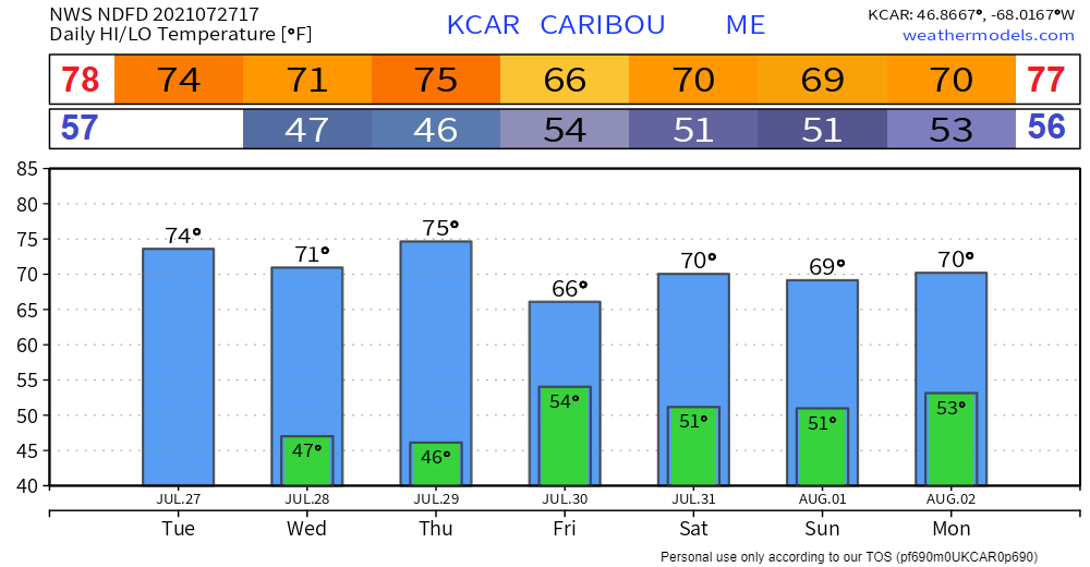 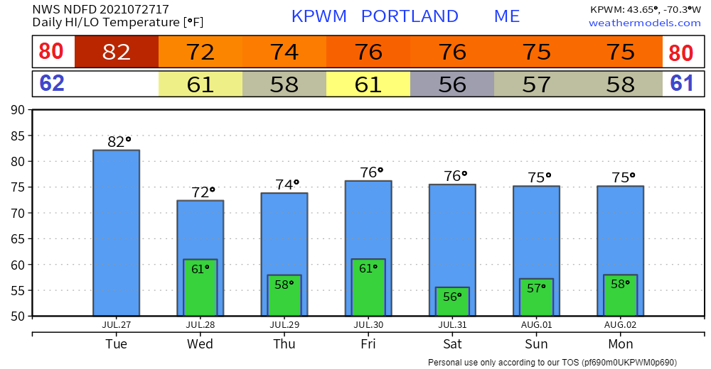 Be prepared to receive alerts and stay updated!
For more information in between posts, please follow Pine Tree Weather on Facebook and Twitter.
Thank you for supporting this community-based weather information source which operates by reader supported financial contributions. Stay updated, stay on alert, and stay safe! |

Mike Haggett
|