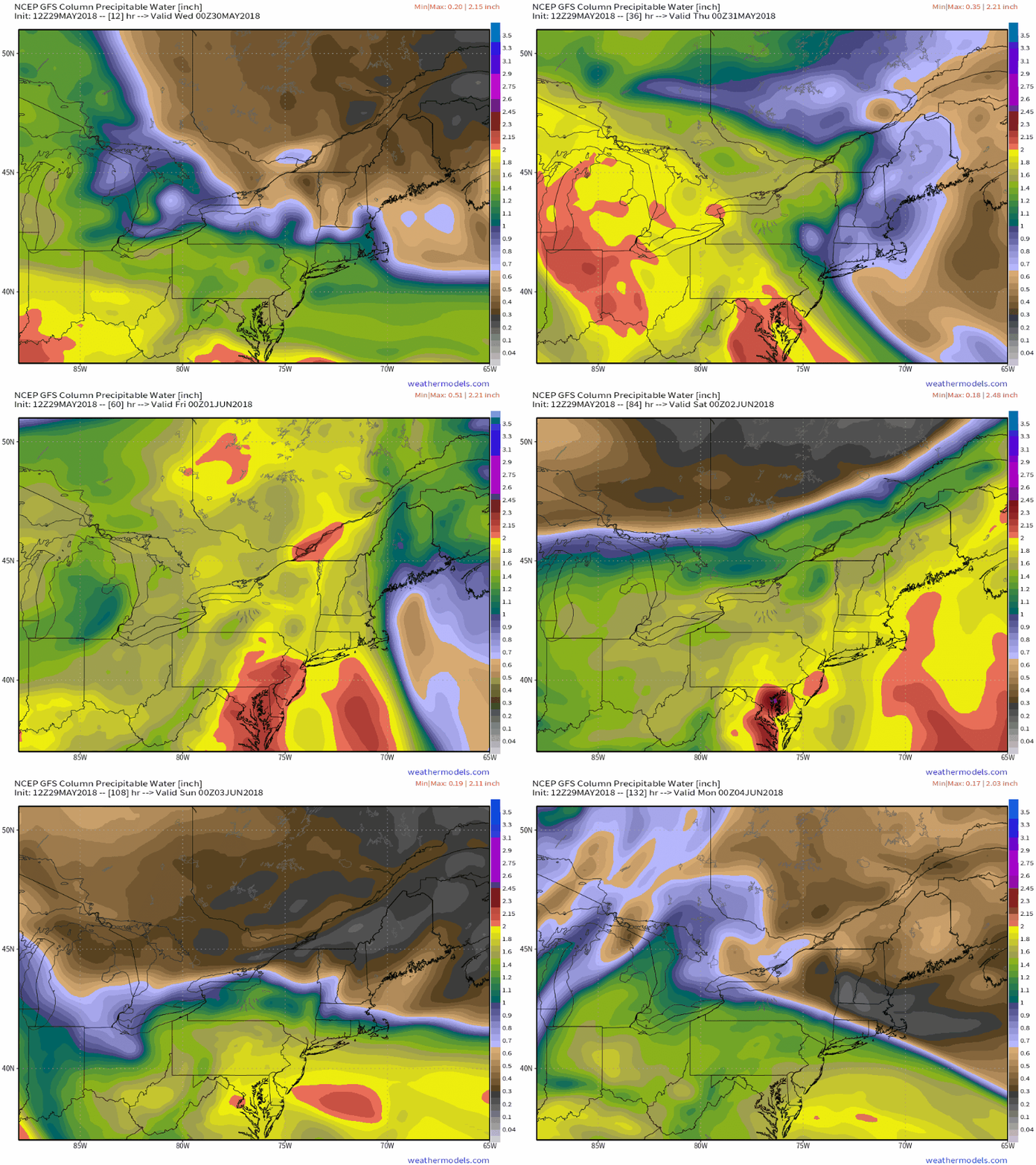
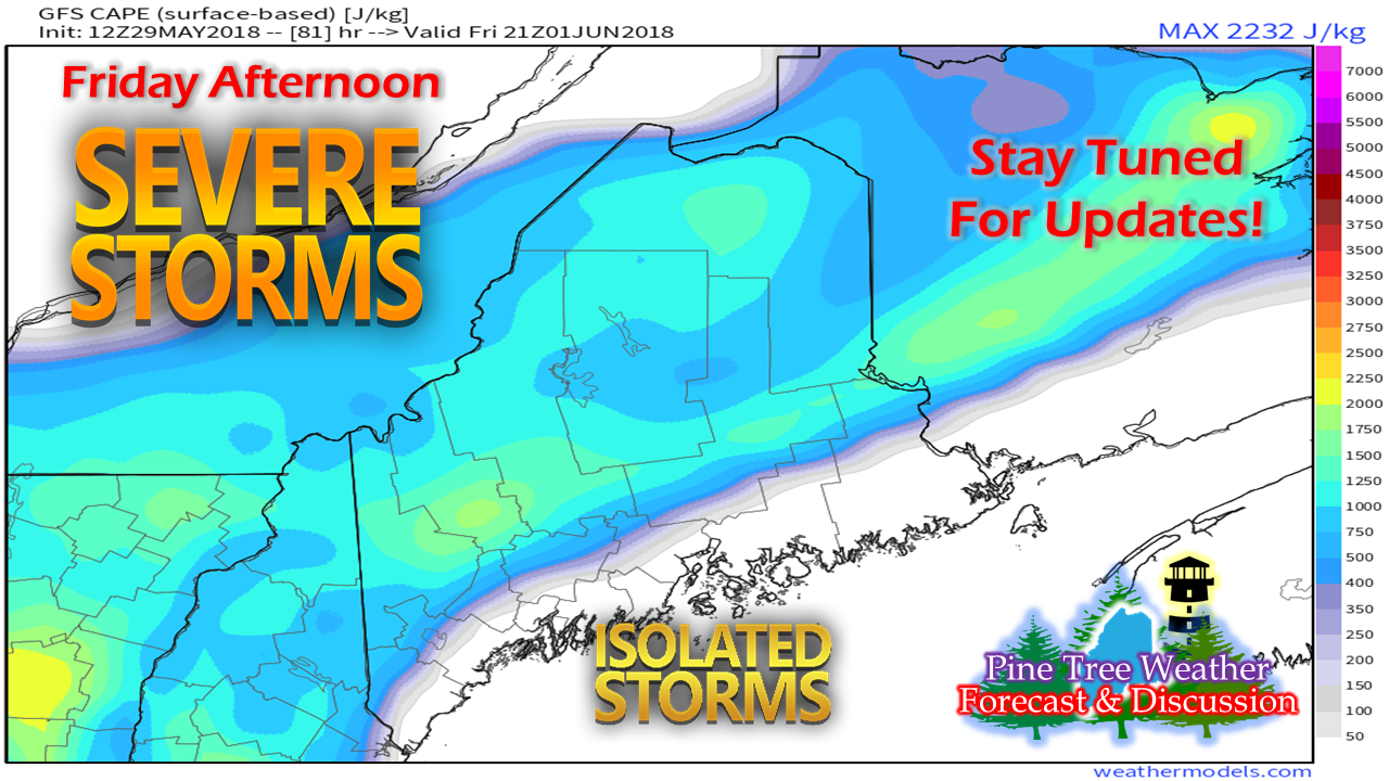
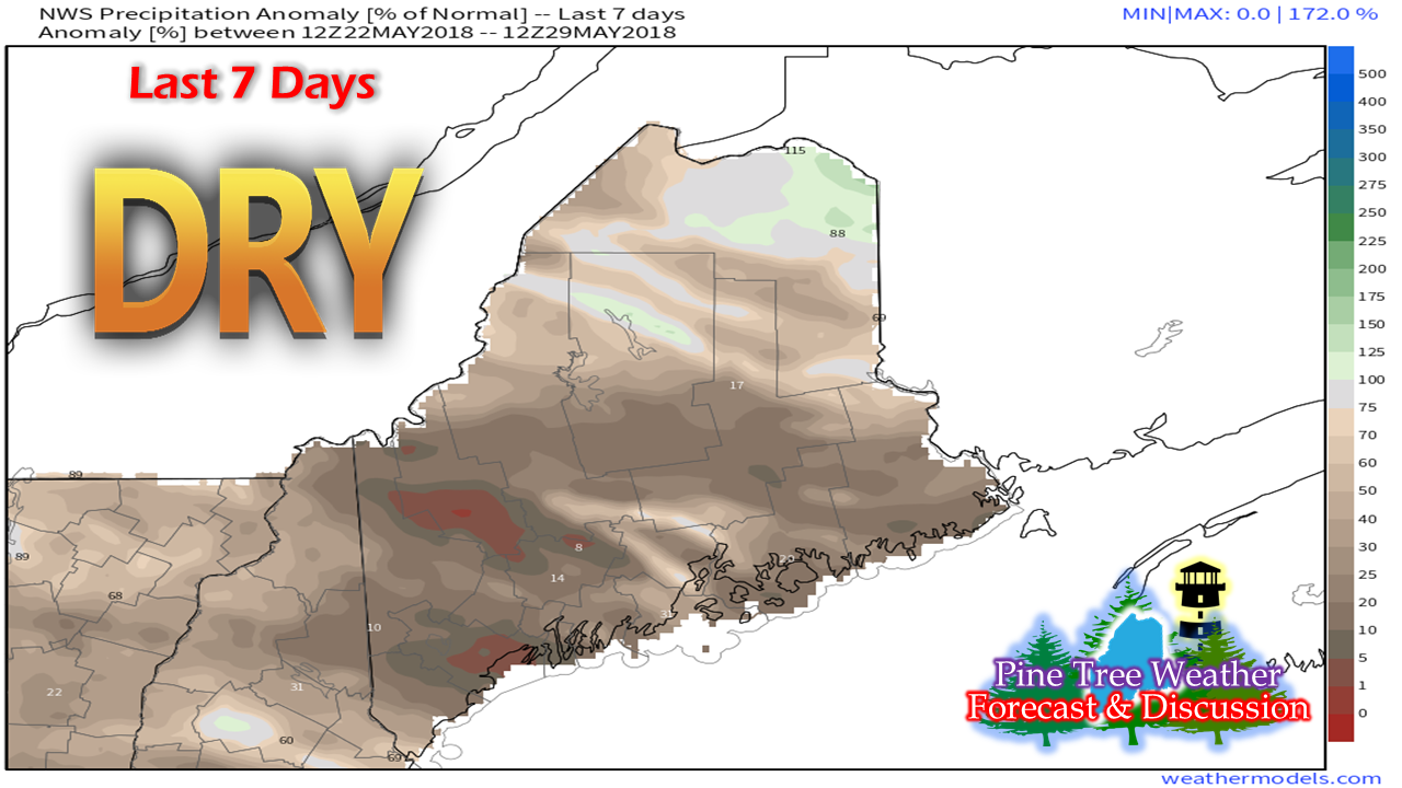
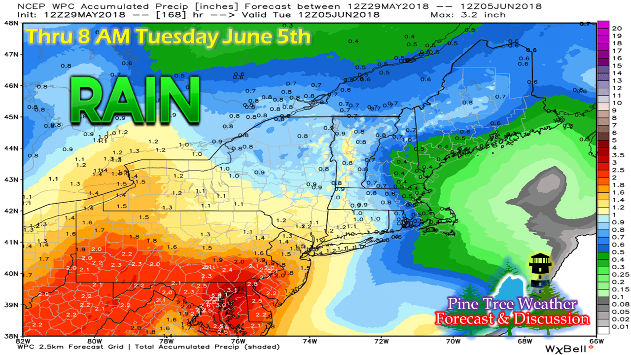
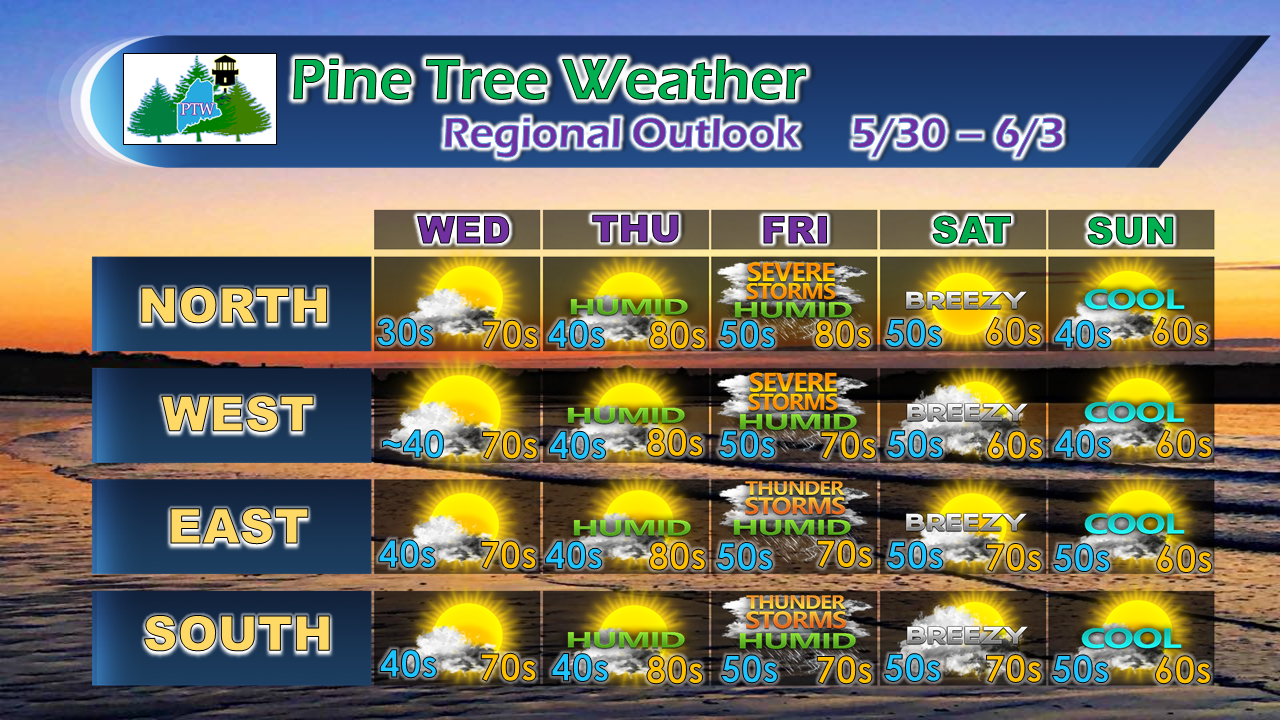
Roller coaster weather pattern continuesAfter another dry day Wednesday, a southwest flow ahead of a cold front drives the humidity levels high Thursday night into Friday. Showers and thunderstorms develop Friday as the front moves through the region. A back door cold front sinks south late Friday, providing a dry but cooler trend for the weekend. Severe potential from Alberto remnants late weekFolks statewide should stay in close contact with the forecast in regards to Friday for severe weather potential. A frontal boundary containing rich remnant moisture from Alberto moves westward during the day. Storms could bring frequent lightning, flash flooding, gusty winds and hail. Time will tell if tornadic features may also be a concern. PLEASE stay updated on the forecast. Dry times continue...Outside of the northeast corner of The County, most of the state is well below normal for rainfall. Some areas did pick up some Saturday evening from the recent front that passed through, but many areas didn't see much, if anything. Southern areas remain on pace for the second driest May on record, a mark likely achieved as the month ends on Thursday. I wish I had better news to report on the prospects for rain. The rainfall idea from the Weather Prediction Center Tuesday morning shows some liquid on the way late week from the Alberto remnants, but this is only a rough idea. Knowing the front will be tropical in nature may provide some heavy rain in areas, but some areas may escape with low end amounts. The next chance for a widespread rain event appears next week, but that is a low confidence idea for now. Regional Outlook through the weekendIn the past, I have issued two separate forecast panels to cover regional outlooks. At times I found it to be difficult to be more accurate for the region due to varying conditions. This graphic I am testing for now to see if it is going to work. I would like feedback from you on whether you like the new presentation. My own self critique indicates that it is a bit busy, but it does do the job to allow me to become more specific for the region.
The only mention on this outlook worth mentioning is I expect a coastal sea breeze on Saturday that will likely keep the shorelines of the south and east in the 60s. Other than that, the forecast for now looks good for each area. Stay in touch with NWS Gray for western and southern Maine, NWS Caribou for eastern and northern Maine, the Pine Tree Weather Facebook page and my Twitter account for more information. Thanks as always for your support! - Mike |
Mike Haggett
|

