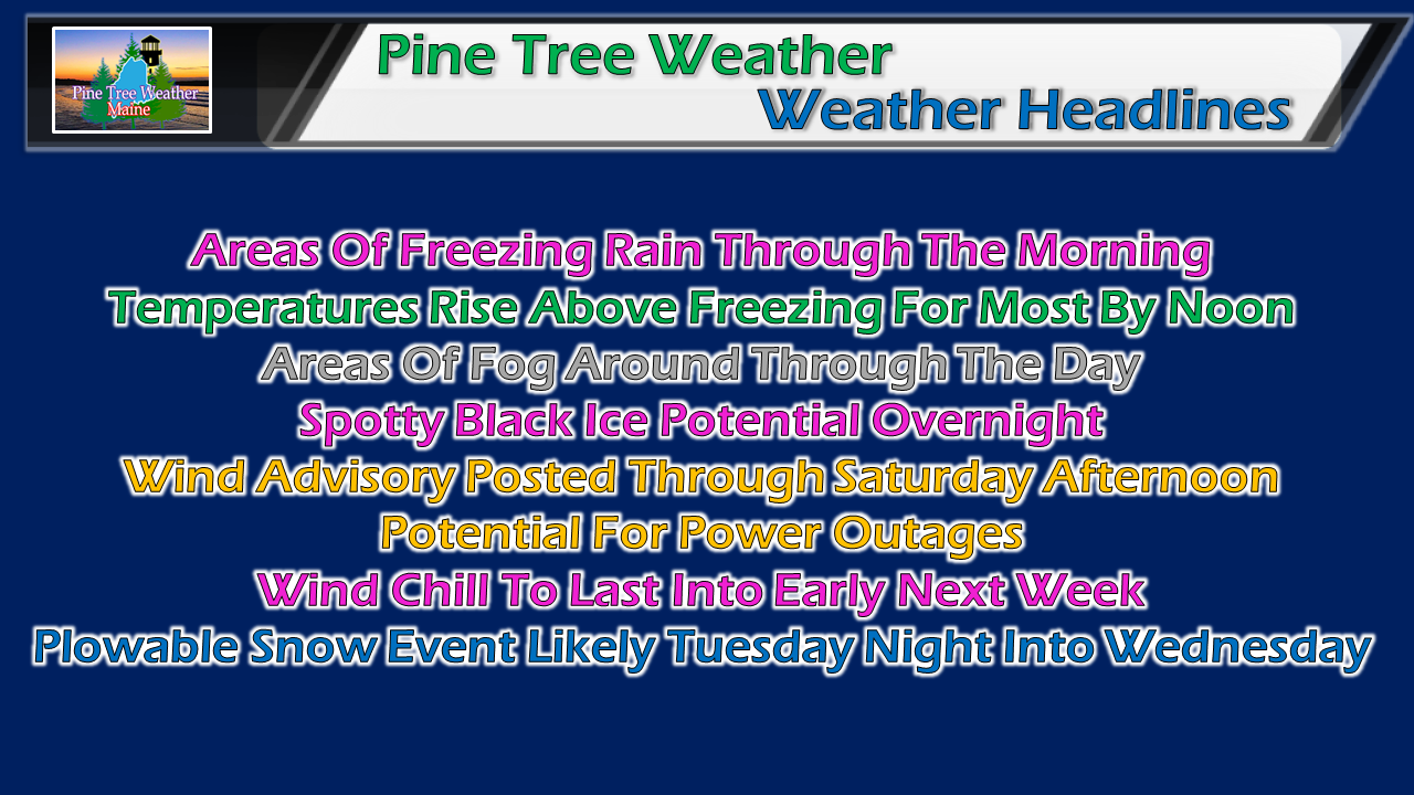
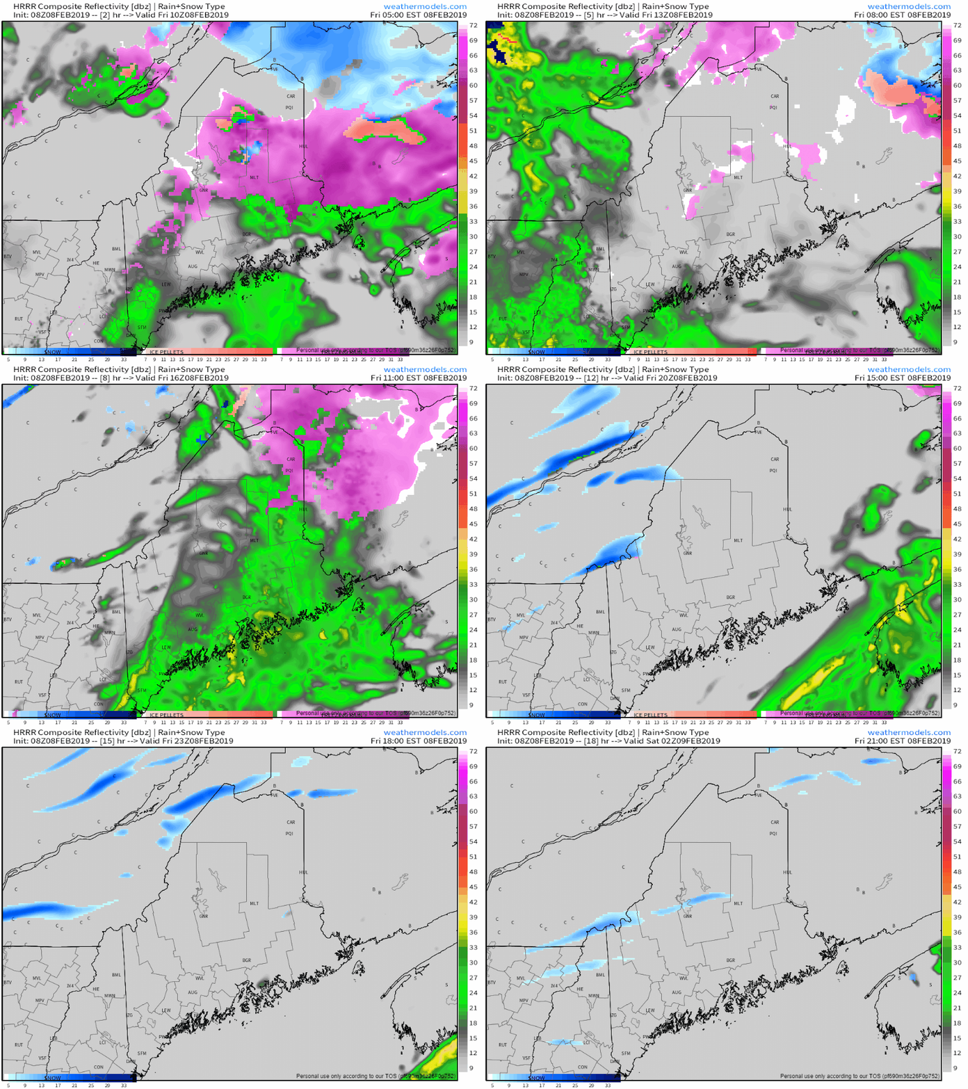
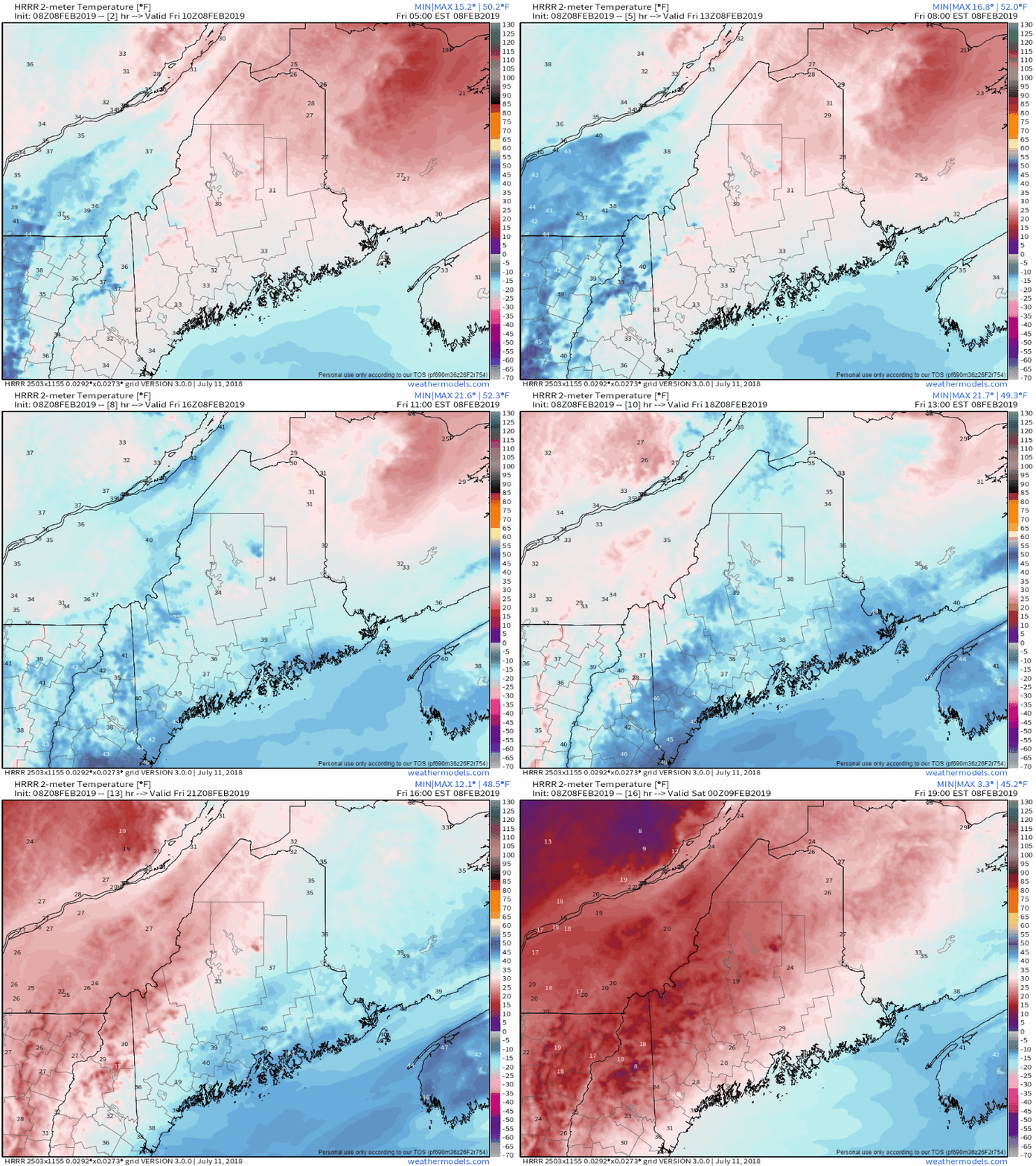
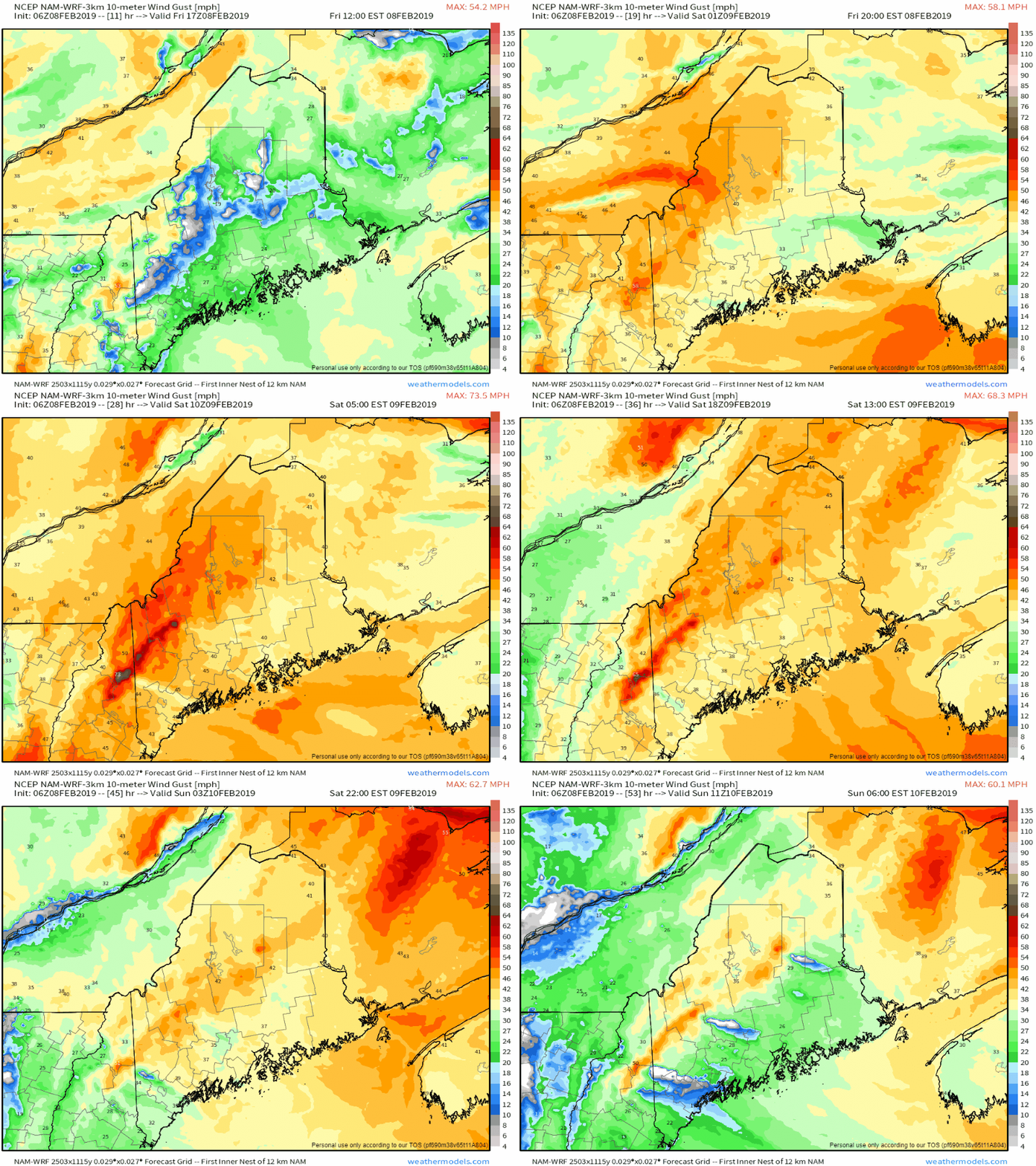
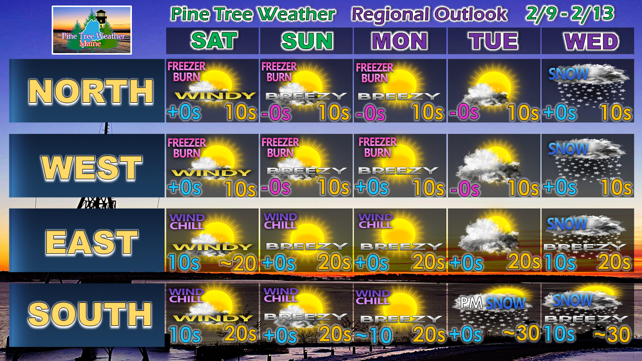
Rough day aheadToday we watch the thermometer closely. Watching observations beginning at 3 AM this morning, it is quite apparent cold air damming is having effects on the region with temperatures hovering around 32° - 33° away from the shorelines. Add areas of fog into the mix, driving could be a bit of a challenge at times well into the day. Then the wind begins to crank. Three things...The forecast remains on track for precipitation to end for western and southern areas by noon and eastern and northern areas by mid-afternoon. I expect cold air to put up a fight into the morning but eventually lose out as southwesterly wind increases ahead of the cold front approaching this afternoon. Be aware that all of this liquid is going to freeze up tonight, which could cause black ice in areas. This will remain solid for days. A wind advisory is posted statewide through Saturday evening. Gusts 30-45 mph are possible, with the higher gusts in the mountains. Power outages are possible. With the wind comes the wind chill. The mountains and north will deal with feels like temperatures below zero through the weekend and into Monday. Outlook through WednesdayConfidence is growing on a plowable snow event statewide Tuesday night into Wednesday. The question remains on whether their will be mixing along the coast. At this point, everyone will need a shovel. Think 6" for most areas but the far north now, and stay tuned for specifics on timing and totals in the coming days.
► ► For the latest official forecasts, bulletins and advisories, please check in with the National Weather Service in Gray for western and southern areas, or Caribou for northern and eastern parts of Maine. For more information from me, please follow the Pine Tree Weather Facebook page and my Twitter feed. ► ► Your financial donations are much appreciated to keep this site funded and for further development. I sincerely appreciate your support not only financially, but also in sharing my efforts with others. Always stay weather aware! - Mike |
Mike Haggett
|

