
Frontal boundary loses its juice coming through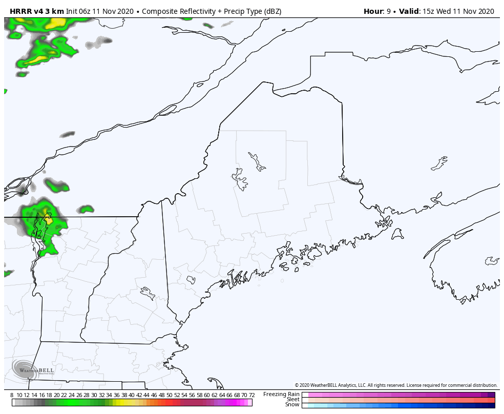 One more day of record warmth for the region before a cold front takes the July weather out to sea. Areas of patchy fog give way to sun, with clouds and a southwesterly breeze on the increase as the front approaches. Showers arrive over the mountains and Allagash region this afternoon and slowly moves southeastward through the night into early Thursday. Pending on the position of front will dictate what happens for coastal areas Thursday. A weak area of low pressure may form along it, and would bring a chance for showers for the shorelines through the day. Away from the coast, the better chance for sun and clearing. Weather pattern changes going into the weekend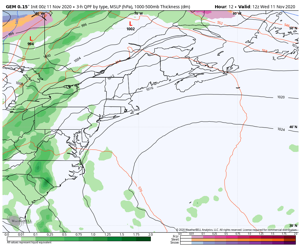 Behind the front, a weak area of high pressure whisks through the region Thursday night into early Friday. Low pressure may form along the stalled frontal boundary offshore. The timing of that is still to be determined. IF it can get its act together in time, the north and mountains may see some snow Friday afternoon, with rain showers for the coastal plain. At the very least, it appears far northern areas will see some snow showers with light accumulations possible heading into Friday night. Saturday looks mainly dry with a bit of a chilly northwesterly breeze. 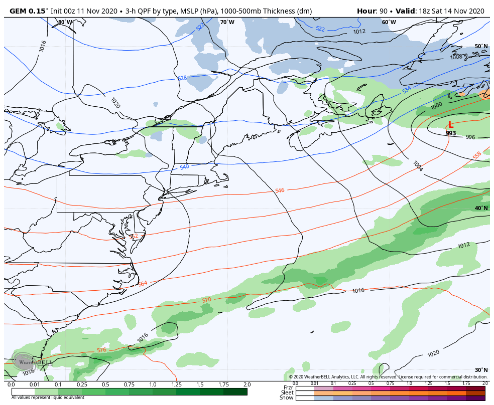 The next chance for precipitation appears Sunday into Monday. A strong area of low pressure forms in the upper Midwest and intensifies through Lake Superior tracking into northern Ontario. A long wave cold front extending to the Gulf of Mexico syphons off moisture and energy from tropical cyclone Eta and carries it up the eastern seaboard Sunday. This could bring a decent shot of rain or snow to rain over northern areas Sunday afternoon into early Monday. Behind this system, an Arctic trough and associated northwesterly wind could bring snow showers for the mountains through the middle part of next week.  Temperature outlook through TuesdayAfter one more day of record warmth, the thermometer progressively heads towards seasonal normals over the weekend. Monday rains spike back above normal by 5°-10° before it goes below normal into the middle part of the week. No major storms in sight for now. 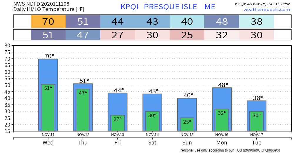 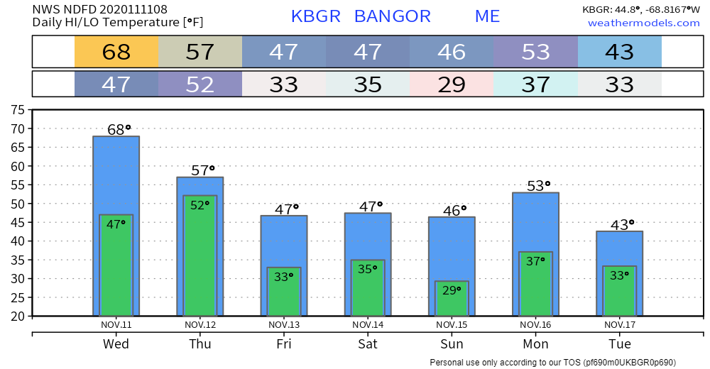 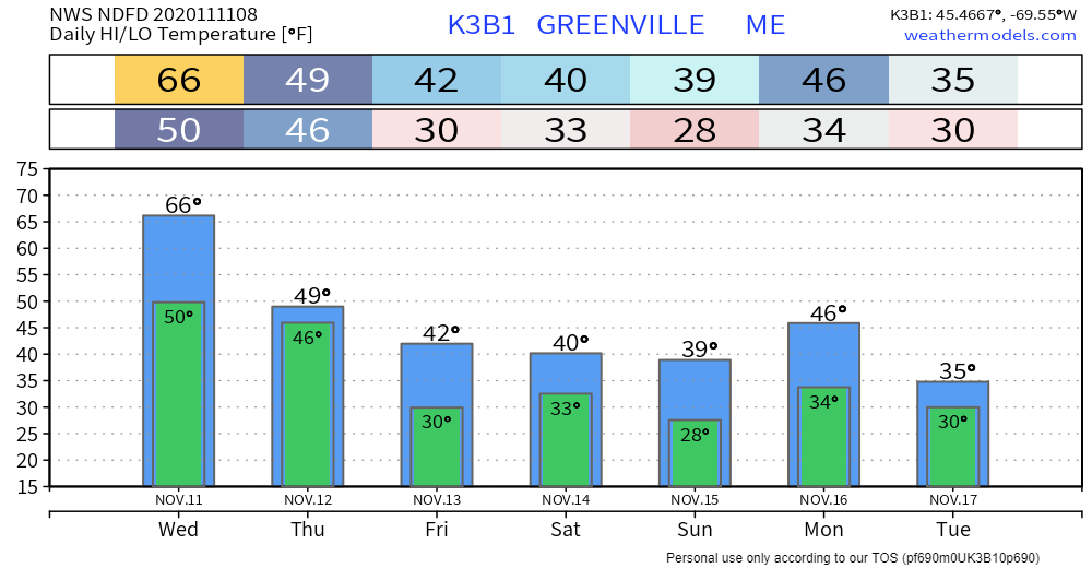 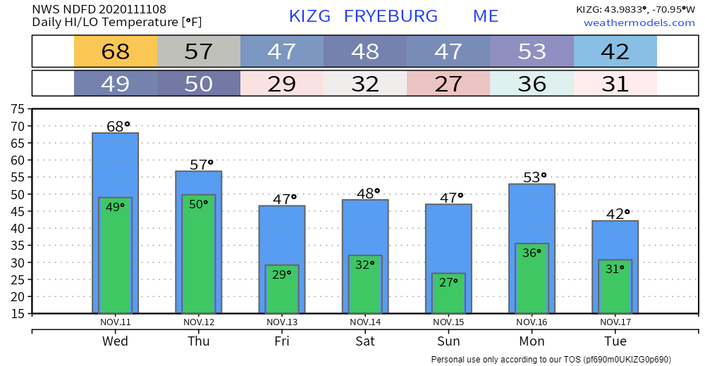 Become a citizen scientist!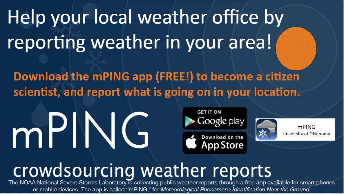 The NOAA National Severe Storms Laboratory is collecting public weather reports through a free app available for smart phones or mobile devices. The app is called “mPING,” for Meteorological Phenomena Identification Near the Ground. This information is valuable to bring verification of different weather phenomena beyond the scope of the radar. Participation is strictly anonymous. For more information, check out the mPING website. Be prepared to receive alerts and stay updated!
For more information, please follow Pine Tree Weather on Facebook and Twitter.
** FUNDING NEEDED FOR 2021 ** Thank you for supporting this community based weather information source that is funded by your financial contributions. Stay updated, stay on alert, and stay safe! - Mike |

Mike Haggett
|


