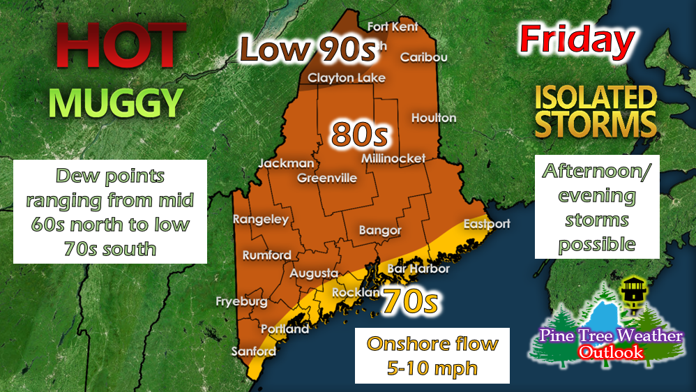
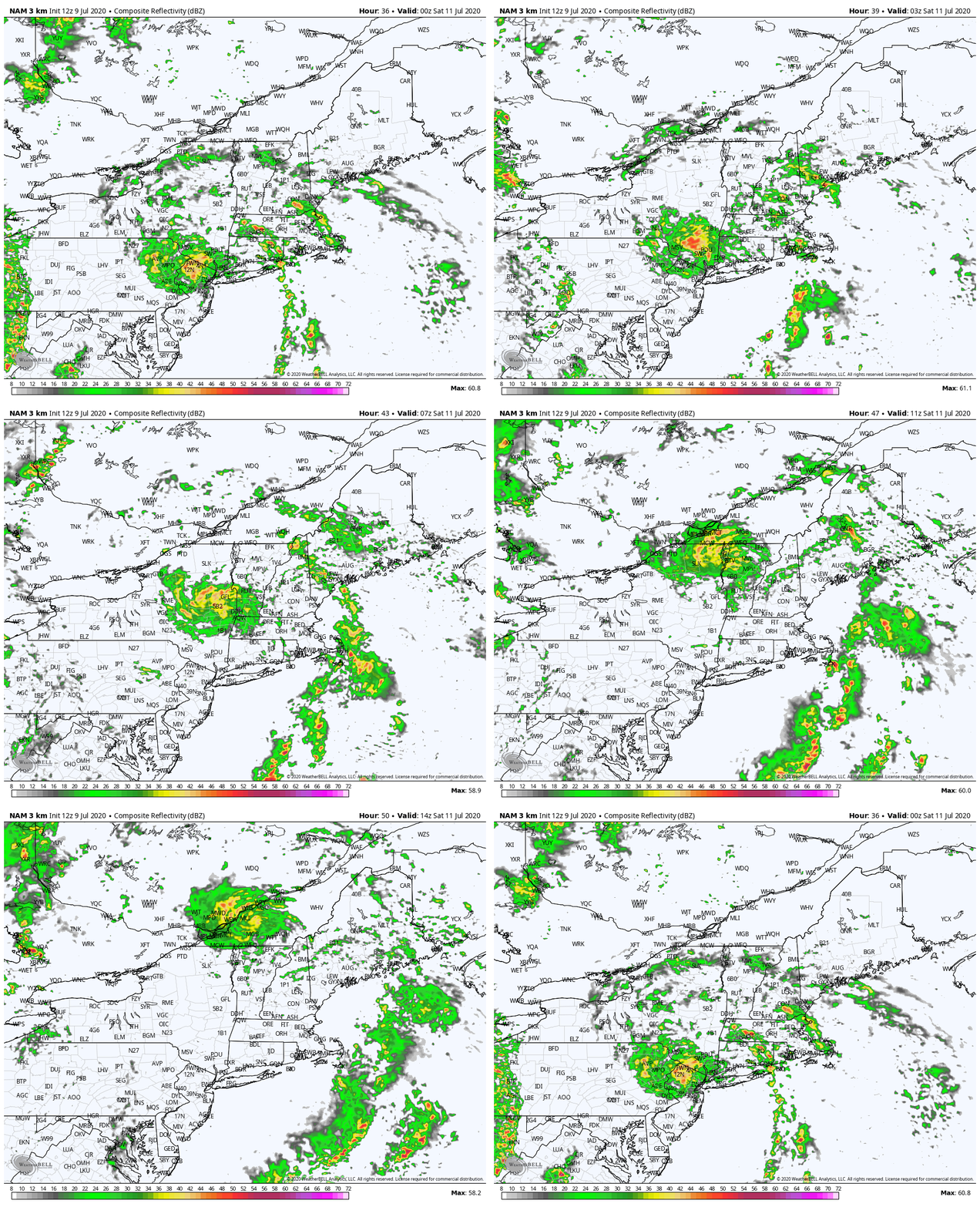
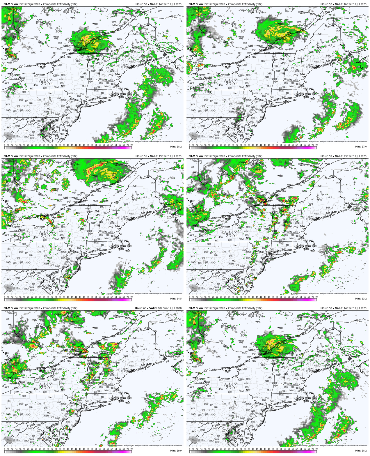
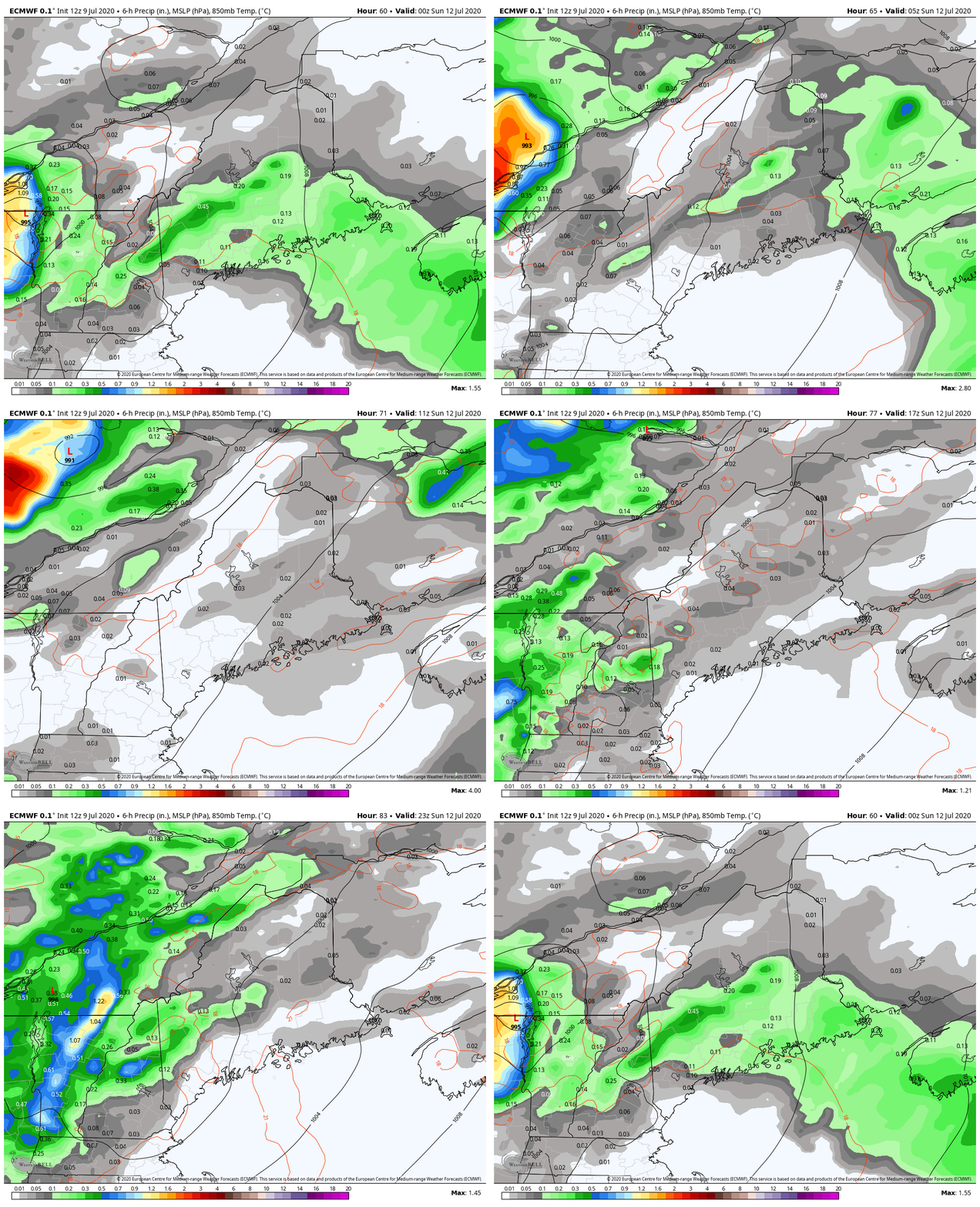
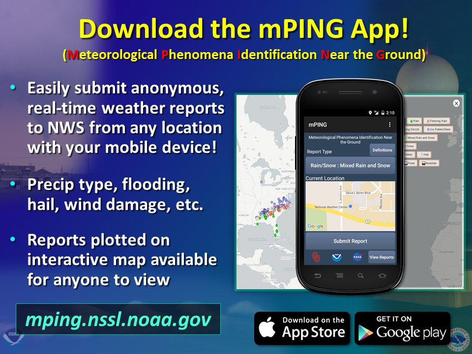
Hot and humid Friday with rain moving in overnightFriday will be very hot and humid, with temperatures in the mid-upper 80s throughout the state and even reaching the low 90s in a fee northern areas. Dew points will be in the mid 60s in northern regions and ranging into the lower 70s in southwest regions. A southerly wind will be present, helping to keep the coastline a bit cooler in the mid-upper 70s. A few isolated showers and thunderstorms are possible during the afternoon and evening hours. The Storm Prediction Center (SPC) has Eastern and Central Maine in a general thunderstorm risk. The tropical disturbance off the coast of North Carolina was just upgraded to Tropical Storm Fay and will push into our region overnight Friday, bringing rain and thunderstorms across New England. The biggest threats associated with this system are flash flooding and gusty winds, especially along southern ME. However, the track of the storm is still uncertain and may vary by the time it reaches New England. For Maine, this could mean more or less rain depending on how the system tracks. Keep and eye on local news for any other updates until our next post tomorrow. Temperatures overnight will only fall into the mid 60s overnight and fog is likely across regions where it rained. Stormy WeekendThe system will move off to the north throughout the day on Saturday, but showers and storms will linger throughout New England and the state of Maine through the overnight hours. Temperatures will range from the upper 70s/low 80s in southern and central regions, to the mid 80s up north. There will also be a fairly strong southerly flow throughout the eastern part of the state (10-15 mph), so the immediate coast could even see upper 60s/low 70s. Showers will linger into early Sunday, with the chance for some pop-up afternoon thunderstorms. Temperatures will linger in the 80s throughout the state with dew points in the upper 60s and low 70s. The warm and muggy conditions will continue. Help forecast verification, and stay informed!
For more information, please follow Pine Tree Weather on Facebook and Twitter.
Thank you for supporting this community based weather information source that is funded by your financial contributions. Stay updated, stay on alert, and stay safe! Have a good weekend! - Alex :) |
Mike Haggett
|

