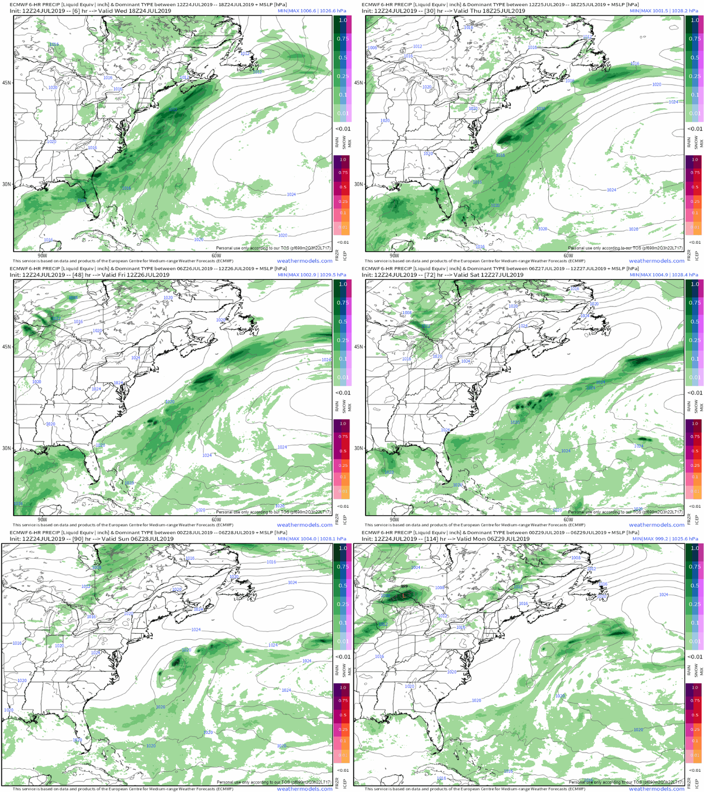
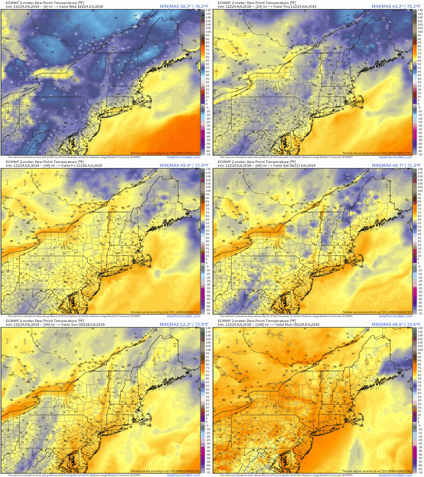
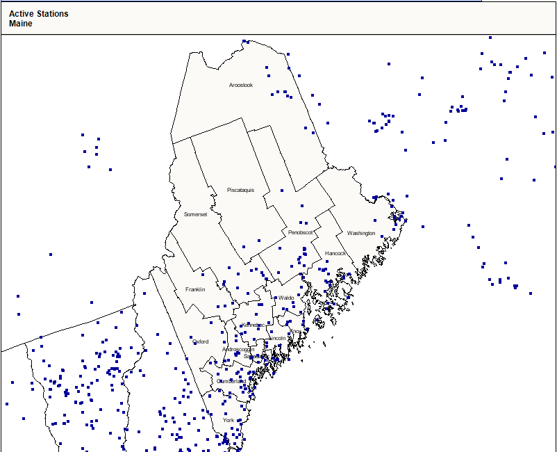
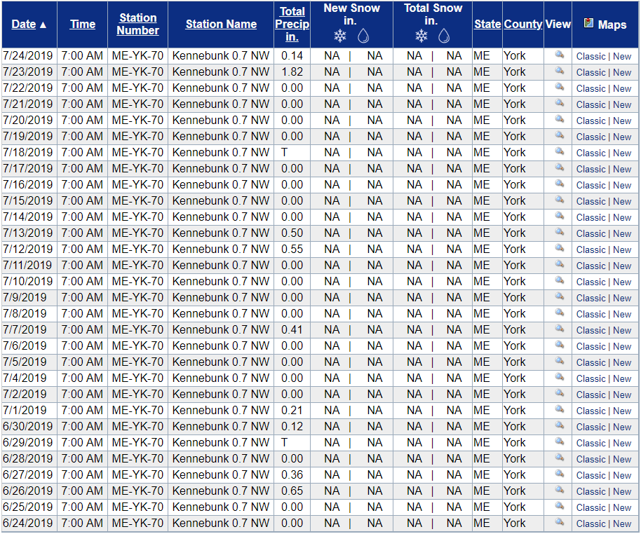
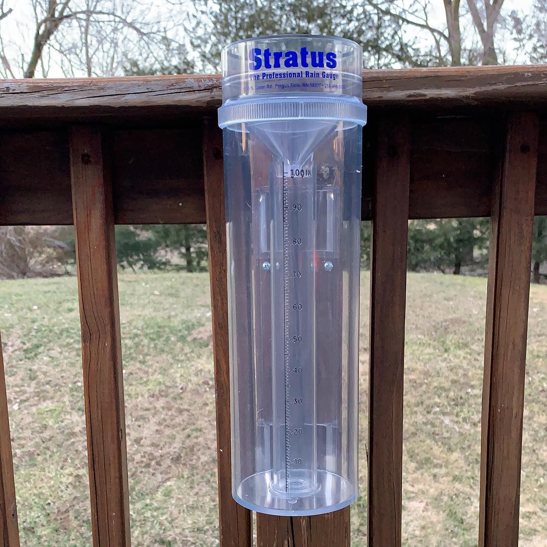
Rain chances scarce through early next weekAn upper level trough continues to sink into the region through the end of the week. Surface high pressure moves eastward, which will return a southwesterly flow to the region over the weekend. Outside of a chance of a pop-up shower or storm Thursday afternoon for the western mountains, the next chance for some activity will be Sunday afternoon. With the upper level trough in control through the remainder of the week, it will be classic "Maine summer" type conditions, with 70s/80s for highs and lows in the 50s to low 60s with dew points mainly in the 50s to low 60s. The humidity will increase as the surface high moves offshore, and that will bring muggy conditions back to the state as we head into the latter part of the weekend. With the muggy conditions comes the threat for showers and thunderstorms, and for now that appears to be Sunday afternoon. For those who want to continue on getting the wood cut, split and stacked for the upcoming winter, and/or get some hay cut and bailed, this is your time. Weather Geek Corner: CoCoRaHSA storm hits the region. You pop on the TV to see what is going on. Your preferred media outlet meteorologists proudly display what their observers are reporting for rain and snow totals. Have you ever wondered how they do it? Many of those observers are a part of a larger network, called the Community Collaborative Rain, Hail & Snow Network, known by the acronym, CoCoRaHS. Outside of being a SKYWARN spotter, CoCoRaHS is likely the cheapest way to get involved in observation reporting. The information on precipitation totals is a vital part in forecast verification, and it takes many people scattered all over to do it. The number of active participants in the program coincide with the population density of the state. Where there are more people, there are more observers. Knowing my readership base, I can see where many of my followers from western areas, Greenville and eastern areas could assist in the mission. It's not a difficult thing to do, but it does take discipline to report totals on a daily basis, preferably at the same time, as often as possible. Since I am a member of CoCoRaHS, these are my reports for the past month: Each report covers a 24 hour period. On days there is no rain, zeroes are submitted. This keeps a running total consistent for a particular time period. Going out of town on vacation? No problem. You can measure your rain total in the CoCoRaHS approved rain gauge and report it as a multi-day report when you return. You can report using the CoCoRaHS smartphone app or with an online account. Not all rain gauges are created equal. This Stratus model is the one that is approved for reporting CoCoRaHS rainfall amounts. This cylinder will comfortably hold as much a 10" or more of rain. The cost of one of these range between $30-$40. For more information, you can check out the CoCoRaHS Maine website for more information on how to join, training videos, and slide shows. You too can join this list of rainfall reports for your location, and contribute to the improvement of weather forecasting for generations to come. If you have any questions, feel free to message me on Facebook or Twitter. Thanks as always for your support!► ► For the latest official forecasts, bulletins and advisories, please check in with the National Weather Service in Gray for western and southern areas, or Caribou for northern and eastern parts of Maine.
Please consider supporting Pine Tree Weather ► ► Your financial donations are much appreciated to keep this site funded and for further development. FUNDRAISING FOR 2020 BEGINS SOON! I sincerely appreciate your support not only financially, but also in sharing my efforts with others. For more information from me, please check the Pine Tree Weather Facebook page as well as my Twitter feed. Always stay weather aware! - Mike |
Mike Haggett
|

