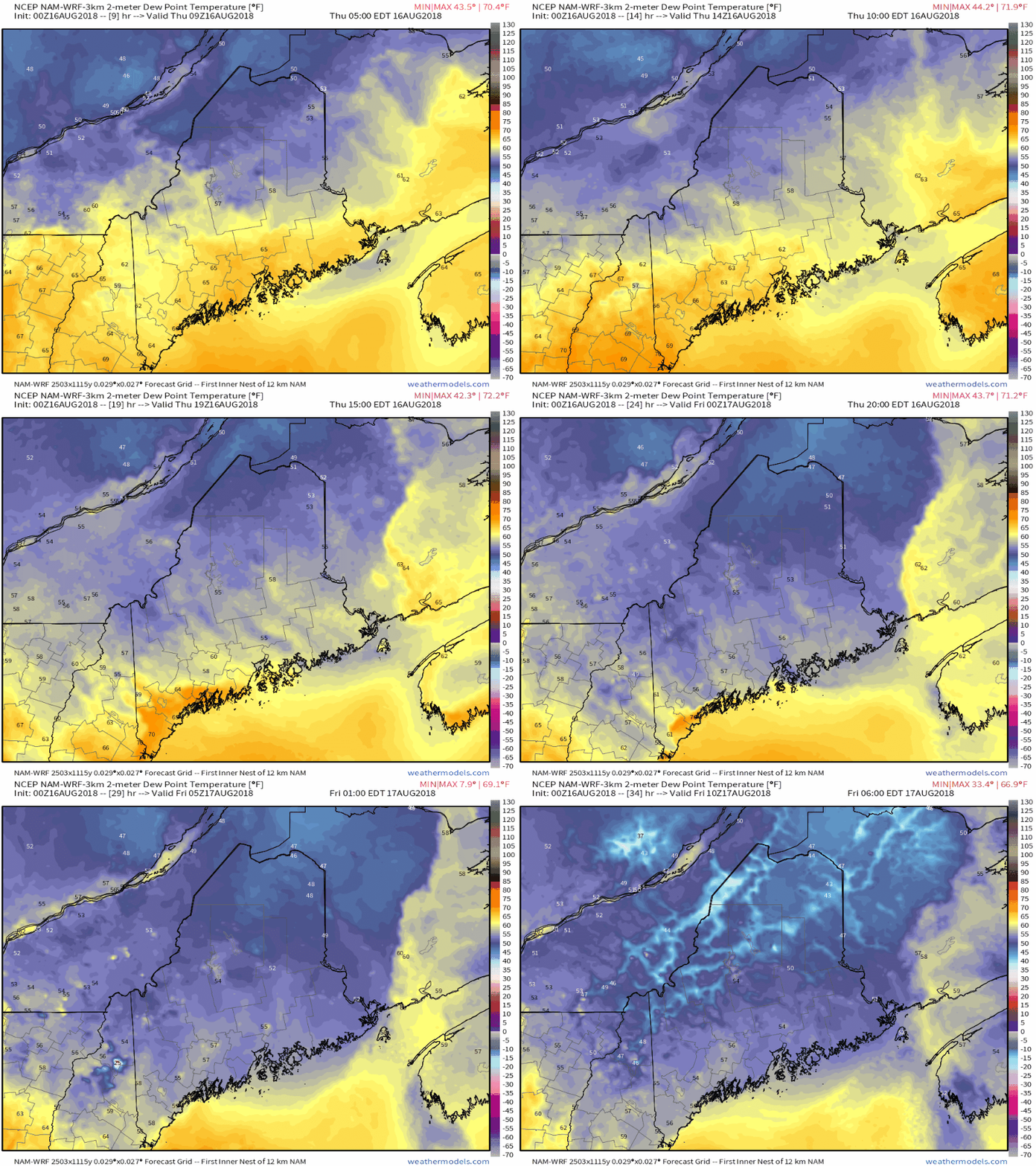
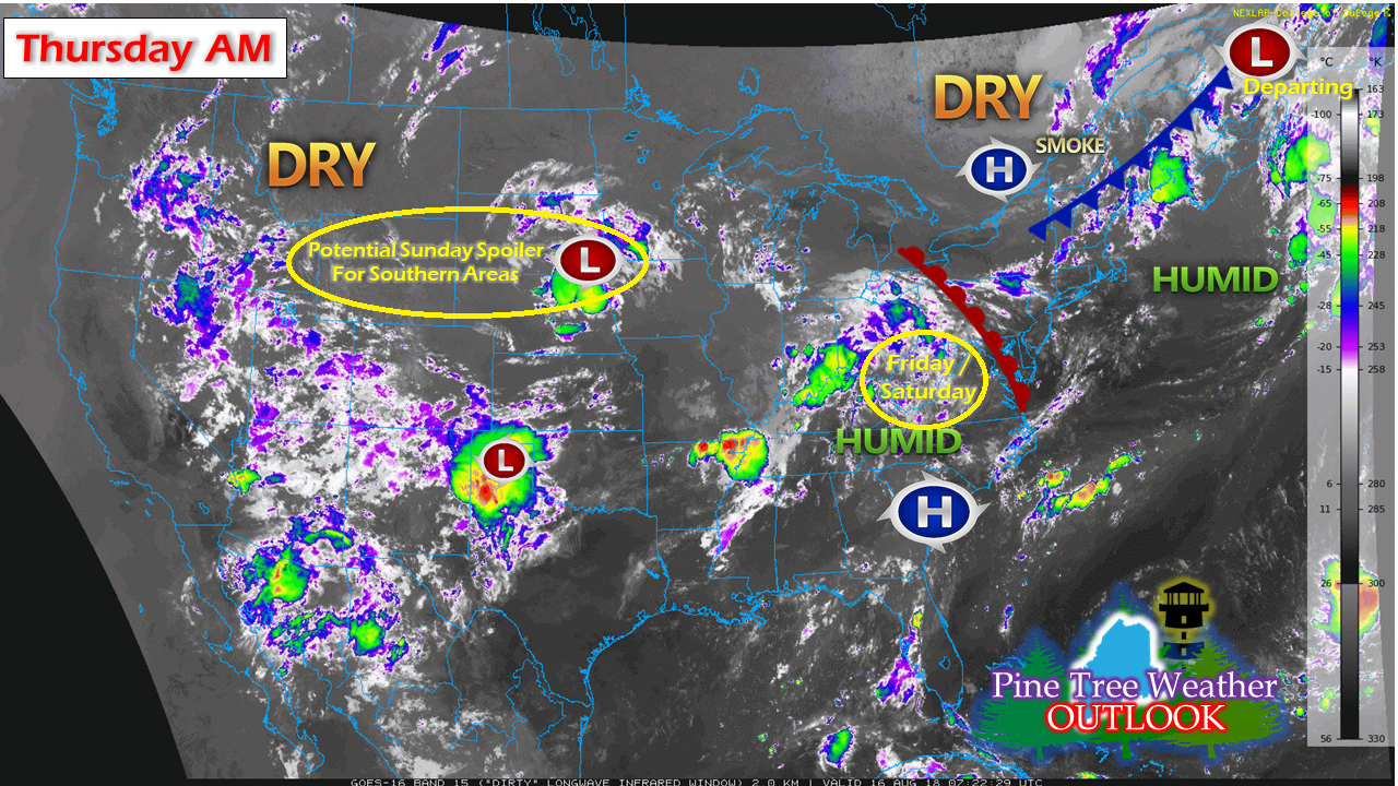
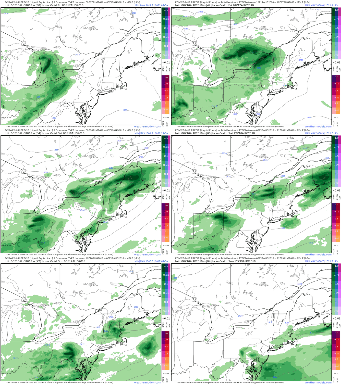
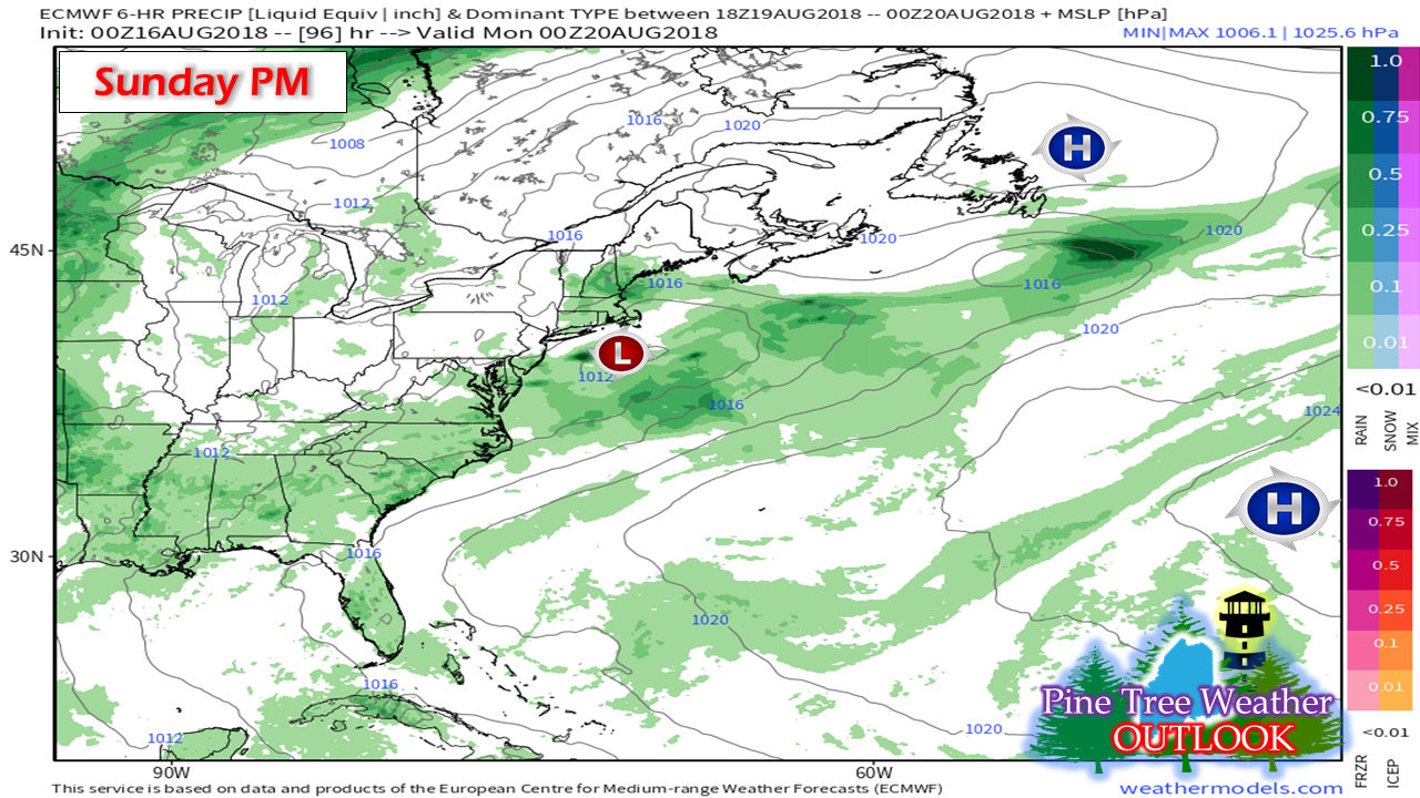
Enjoy the refreshmentWe'll wave good-bye to this round of the sticky conditions Thursday as drier and much more comfortable air arrives from the northwest. Since early July, the region has endured many humid days, and could rank near or at the top for dew point records. A few monthly and seasonal temperature records are likely to be challenged also. While it has been sticky, the high heat has stayed away of late, and that trend appears to continue. Enjoy the break. It will be short lived as humidity will increase again on Friday and stay with us for Saturday. After that it will depart again for Sunday. We'll see another round of sticky by mid next week. Some areas may see a spot shower as the air clears out the humidity Thursday, but other than that, it should be a dry day overall. Weekend outlookThe water vapor satellite view from early Thursday morning shows the players on the table for the next few days. Once the frontal boundary passes through, high pressure will make a brief visit before departing early Friday. A warm front is on track to bring showers and perhaps thunderstorms Friday afternoon into the evening for southern and western areas. Showers and a rumble or two are possible for Saturday. This round of precipitation departs Saturday night as a cold front from the northwest sweeps it out. Sunday appears dry for much of the state, but is in question for southern areas, due to the track of an upper air disturbance from the northern plains catching up with the cold front passing through the area Saturday. Friday into Saturday likely to be dampThis part of the forecast is high confidence at this point as far as the chances for rain are concerned. It may not be a total washout, but some spots could get some localized heavy rain showers given the uptick in humidity. The threat for severe weather appears low, with southern areas seeing the best chance, pending on cloud cover. There is a greater threat for strong to severe storms to the south and west of the state on Friday as the warm front approaches. Sunday brings questions for southern areasIt's important to indicate here that this model depiction is an outlier for now, meaning there is no other support from other guidance of this possibility. That said, it's not totally out of the box with its idea. Two things that could make this reality is the position of the surface high east of Newfoundland, and the position of the frontal boundary just offshore of southern New England. For those reasons, I cannot rule out this possibility. There is potential for low pressure to form along the frontal boundary and tighten up as the day progresses Sunday, which could bring some showers over southwestern areas. Stay tuned... Community support continues to grow |
Mike Haggett
|


