
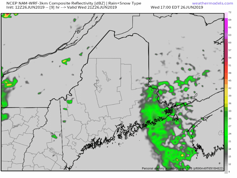
 Some spotty showers and perhaps a thunderstorm may pop up Wednesday evening as a weak frontal boundary slides through the region. Thursday sees a similar set up, which could bring an isolated shower or thunderstorm mainly over the interior, but a few may pop up along the coastal plain. An area of weak high pressure moves in Thursday night, then quickly departs Friday morning. There is an isolated chance for an afternoon or evening shower or thunderstorm into Friday night. Another weekend, another upper level low to deal with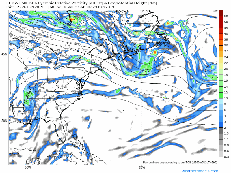 An upper level low moves southeast from Hudson Bay Friday night into Saturday. The system will pinwheel through the state over the weekend, and bring chances for showers and thunderstorms through Sunday. 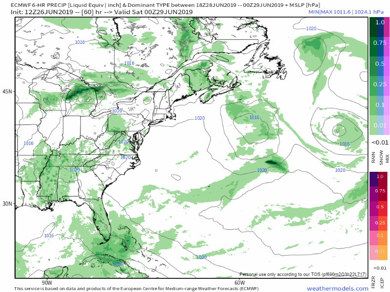 The upper low spins off a surface low. The surface low brings moisture, a rise in humidity, and convective energy in from the southwest. The rule of thumb this weekend is where there is sun, there is a chance for shower or thunderstorm. Sunday appears the wetter of the two days as a cold front pushes through the region to clear the surface and upper level low out of the region. Saturday will be much like last Saturday, however, with pop up showers and storms statewide through the day. Monday appears dry, with a cold front working into the region Monday night into Tuesday, which could bring another round of showers and storms to the state. Looking ahead to the Fourth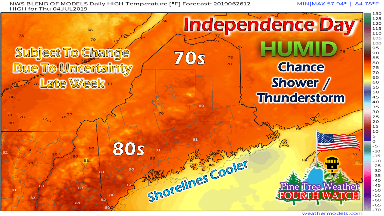 It's a bit early to get into too many specifics, but this is the general idea. Guidance is mixed on a potential frontal boundary that could bring afternoon showers or thunderstorms to the state. In that scenario, temperatures would be what the graphic indicates here. Another school of thought is a ridge of high pressure coming in from the southwest, which would bring sultry dew points (65°-70°) and widespread 80s to the region, with no rain. Time will tell which idea is the correct one, but either way, humidity appears be around, and with that, comes the chance for showers and storms. The weekend following the Fourth could be a very warm one with 80s and perhaps 90s. Ah, summer. Regional outlook through Monday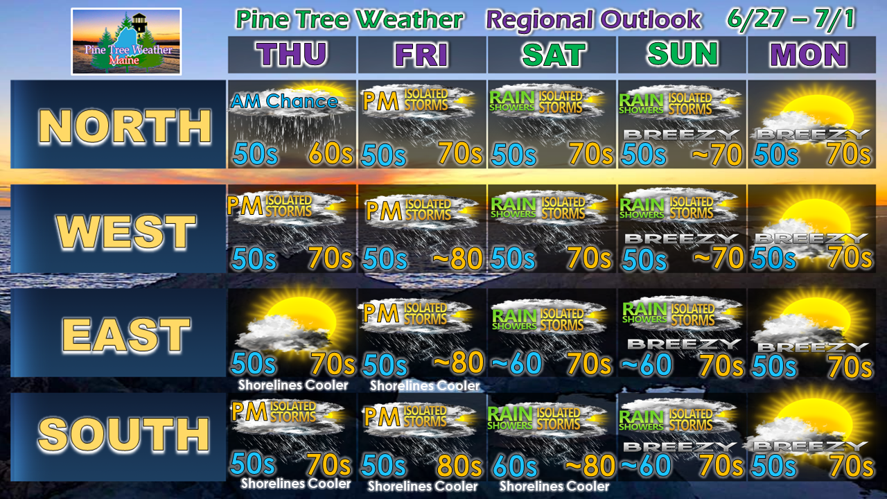 Again, Thursday and Friday, we'll deal with isolated activity. The weekend will feature more widespread activity, and perhaps potential for severe storms.
Stay tuned. ► ► For the latest official forecasts, bulletins and advisories, please check in with the National Weather Service in Gray for western and southern areas, or Caribou for northern and eastern parts of Maine. Please consider supporting Pine Tree Weather ► ► Your financial donations are much appreciated to keep this site funded and for further development. I sincerely appreciate your support not only financially, but also in sharing my efforts with others. For more information from me, please check the Pine Tree Weather Facebook page as well as my Twitter feed. Always stay weather aware! - Mike |

Mike Haggett
|


