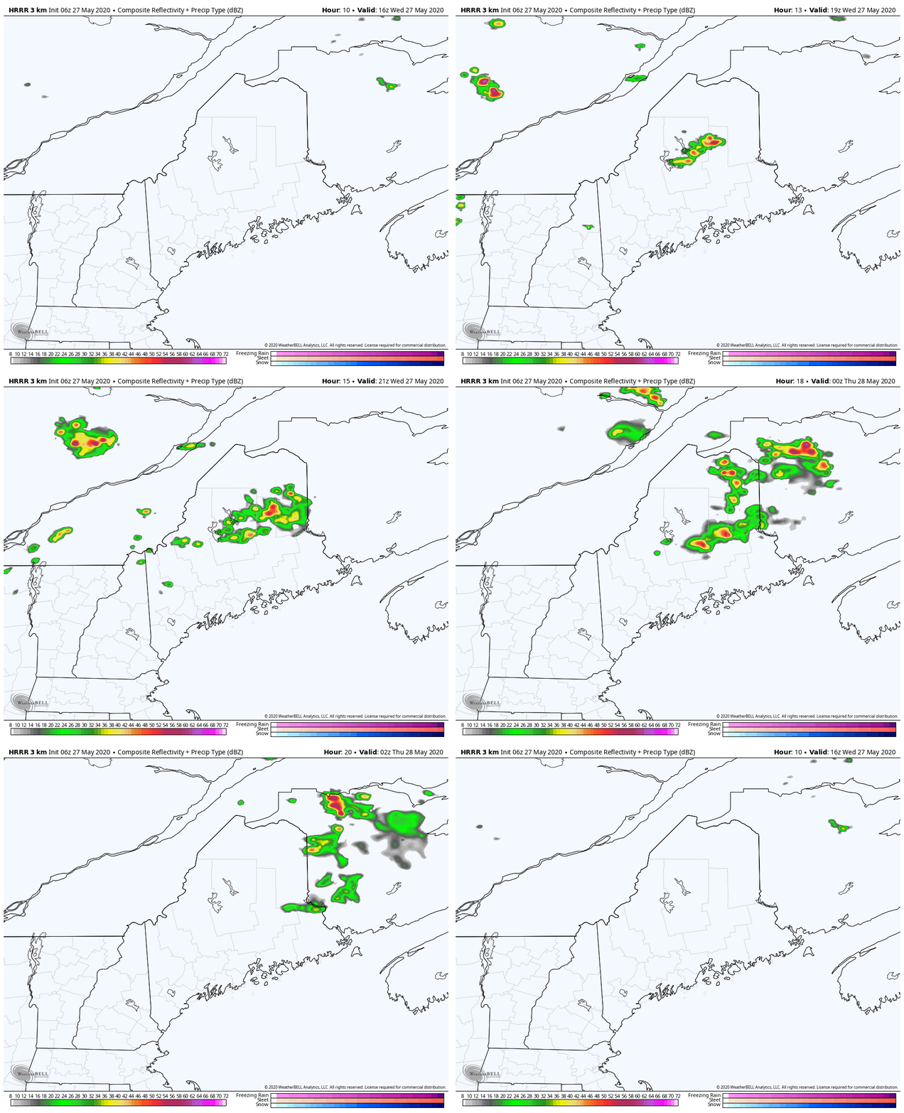
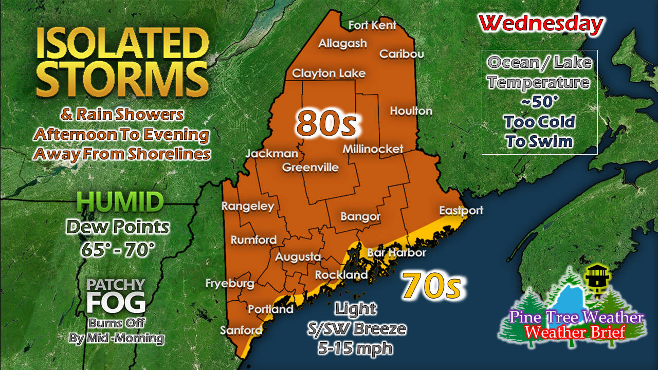
Heat & humidity create instabilityThe Storm Prediction Center has indicated a marginal risk for severe storms for the north and mountains for Wednesday. With cooler air aloft, there is a chance for hail. While there are triggers in the atmosphere, wind shear is lacking in potential development and steering of the storms. The storms that form will be slow moving dumpers, which could cause localized flash flooding under the right circumstances. Timing is mainly between 1 to 10 PM. Please stay on alert today, and be able to receive alerts. This model radar idea could change. For areas between Rangeley to Vanceboro north should keep an eye to the sky and take shelter when necessary. Some interior areas could reach 90°. With dew points reaching the mid to upper 60s, heat indices could reach the mid to upper 90s. Our lakes and ocean are still running at dangerously cold temperatures. Please find other ways to stay cool for the day. Any early morning fog is expected to burn off by mid-morning. MidCoast areas over DownEast may see it be stubborn in lifting, but should be cleared out by noon. Alex will be back this afternoon to look ahead to the weekend. For those gardeners, frost potential is possible Sunday into Monday. From the freezer to the furnace and then back to the freezer again. Spring is crazy. Stay informed!
For more information, please follow Pine Tree Weather on Facebook and Twitter.
Thank you for supporting this community based weather information source that is funded by your financial contributions. Stay on alert, stay updated, and stay safe! - Mike |
Mike Haggett
|


