
Flash flooding threat to continue until further notice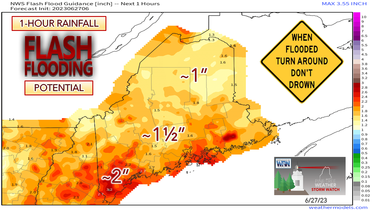 June has been a very wet month, and although the totals for long reporting stations have not reached the top-10 wettest yet, that may come to fruition by the end of the week. This graphic above shows just how saturated the ground is over much of the state. Often the higher number indicates more of a concern. In this case it is the lower number. A quick downpour that can bring 1 to 1½" of rainfall in one hour is enough to cause localized flash flooding, and that is for roughly 80% of the state. While southern areas indicate 2" of rainfall may be required, keep in mind that it would take less than that in urban areas to cause street flooding. The bottom line here is that it won't take much heavy rain to cause problems, and it is that which needs to be paid close attention to. 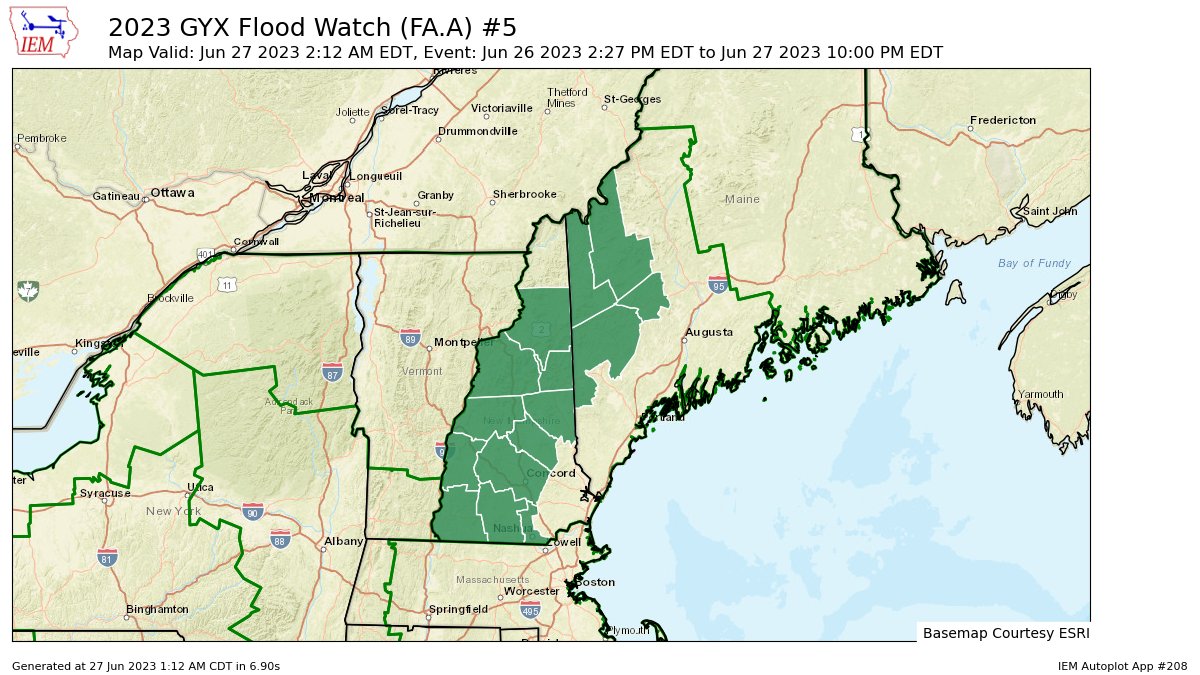 Given the current flood guidance and for what is coming, the National Weather Service Gray office has issued a flash flood watch over western Maine and most of New Hampshire through Wednesday. It's important to note here that the watch could be expanded at any time, and to expect warnings to be issued on short notice. Showers and storms at various intensity through Tuesday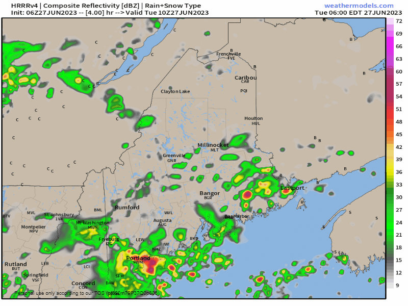 The main threat for shower activity over southern areas is through mid-morning. Showers become widely scattered through midday over the south and west and pick up over eastern areas in the afternoon, and far western areas heading into the evening. If the sun manages to make a cameo appearance, look out. This is where storms could fire and bring torrential rainfall and gusty wind. The severe threat remains very low, but there could be a few snarky cells that percolate over interior areas. Heading into the night, the atmosphere cools and showers and storms taper off, although there could be a few isolated cells possible. Fog is a concern for the overnight and early morning travelers. More widespread shower activity for Wednesday The position of the quasi-stationary front may jog a bit more to the east for Wednesday and as a result, a better chance for showers and storms is possible for the region. Stable air over southwest coastal areas may keep the storm threat minimal, but I can't rule out a shower or two there as decaying storms to the west may spill over into that area. Outlook through the Fourth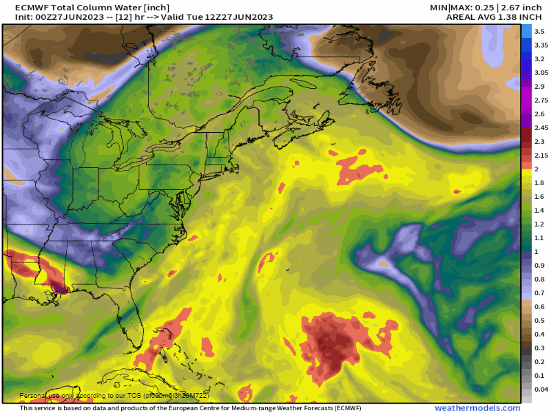 The region may experience a subtle break in the humidity on Thursday as cold front tries to muscle its way in. That will be short lived as an upper-low moves in over the Great Lakes and spins moisture from the south back into the region over the weekend.  Between the forecast upper low and a strong ridge east of Newfoundland, our pattern is not expected to change. Showers and storms are expected throughout the holiday and beyond, with a better chance for widespread rainfall Sunday as it appears for now. Time will tell if that trend holds serve. Pine Tree Weather is funded from followers like you. I would appreciate your financial support. Click here for how you can contribute. You may not like the weather, but I hope you like what I do, and support my efforts. Thank you! Stay updated, stay on alert, and stay safe! - Mike NOTE: The forecast information depicted on this platform is for general information purposes only for the public and is not designed or intended for commercial use. For those seeking pinpoint weather information for business operations, you should use a private sector source. For information about where to find commercial forecasters to assist your business, please message me and I will be happy to help you. |

Mike Haggett
|


