|
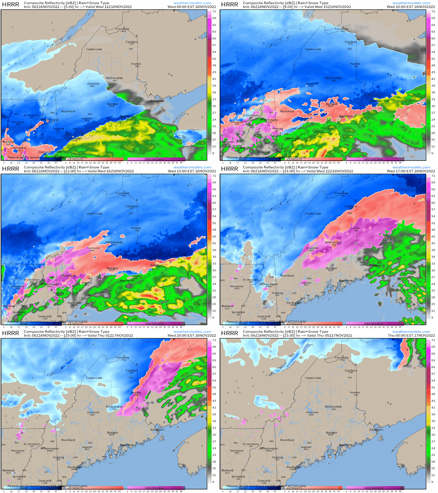
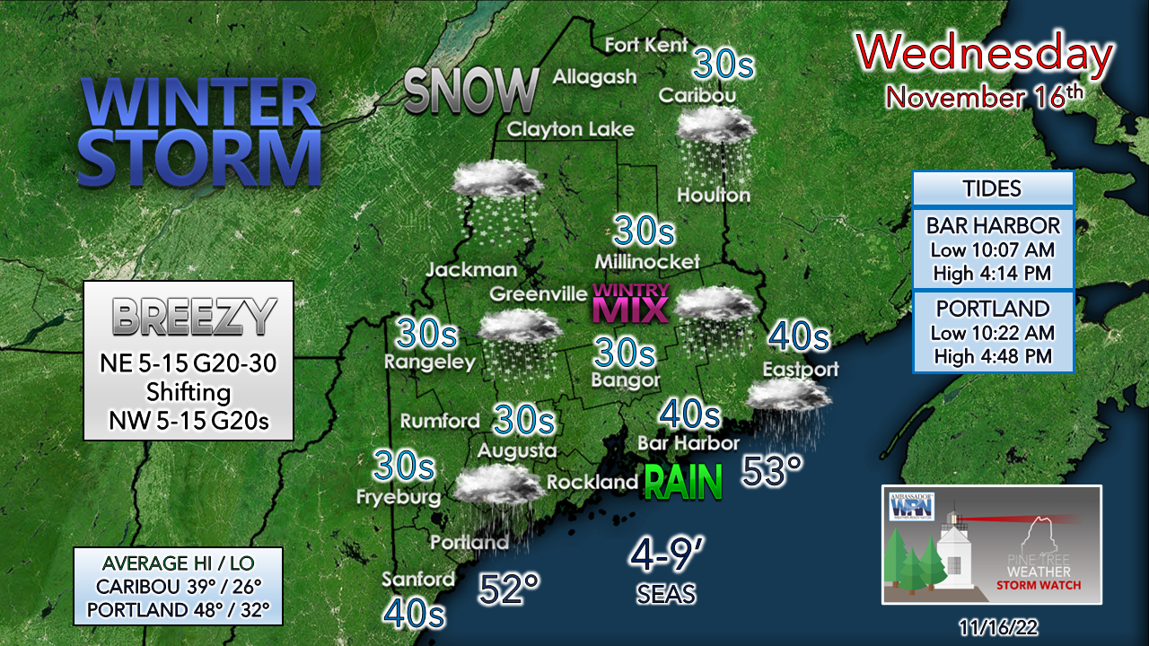
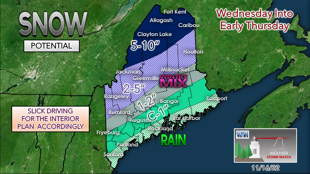
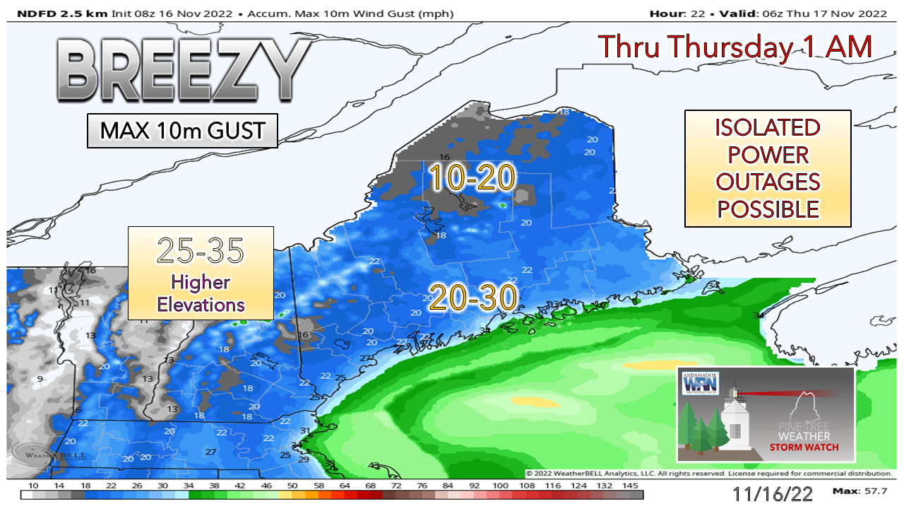
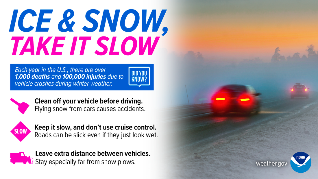
The trend is warmer aloft and may get warmer as the forecast model trend continues that way. The result is a junk storm, which is meteorological slang for widespread rain, sleet, freezing rain, and snow event. How many precipitation types may be observed depends on location, but all four food groups are likely to occur at some point during the day. Breaking it all downWednesday 6 AM to Thursday Midnight - Precipitation moved in a bit ahead of the forecast ideas presented yesterday. As of early Wednesday morning, the idea of precipitation covering the entire state by 10 AM appears likely, if not before then. With the storm being more progressive, end times have changed with southern areas tapering off by early afternoon, eastern areas and the western foothills by mid-afternoon, and the western mountains and north Wednesday evening. Temperatures will be key here today for the interior. If cold air damming does its thing and keeps the mercury around 32° at the surface, that sets up potential for a longer duration ice event. Use caution while driving and DO NOT TRUST YOUR VEHICLE THERMOMETER. If you see the temperature 36° or less, you can bet the surface may be 4-5° cooler than that. Also, any liquid freezes up overnight and could bring BLACK ICE, so be aware of that if you travel this evening. The snowfall map has been revised downward given the influx of warm air aloft. The idea of more snow for the higher peaks of the ski hills is out the window at this point, given the warm nose bringing more sleet and freezing rain further inland. Ice accretion appears to range from a trace to a tenth of an inch but may go higher if cold air damming keeps temperatures near or at the surface at or below 32°. Some areas may pick up ¼-½" of sleet in the western mountains, Moosehead, and areas south of Caribou. Coastal areas have good chance of ¾-1"+ of rainfall, with roughly ½-¾" of liquid equivalent for interior areas. Where snow and ice sticks to trees and power lines will dictate potential for power loss. The wind isn't expected to be of real concern here overall, but it will be breezy and certainly noticeable. Drive safe and allow for plenty of extra timeLive updates on Twitter through early eveningNOTE: The forecast information depicted on this platform is for general information purposes only for the public and is not designed or intended for commercial use. For those seeking pinpoint weather information for business operations, you should use a private sector source. For information about where to find commercial forecasters to assist your business, please message me and I will be happy to help you |
Mike Haggett
|

