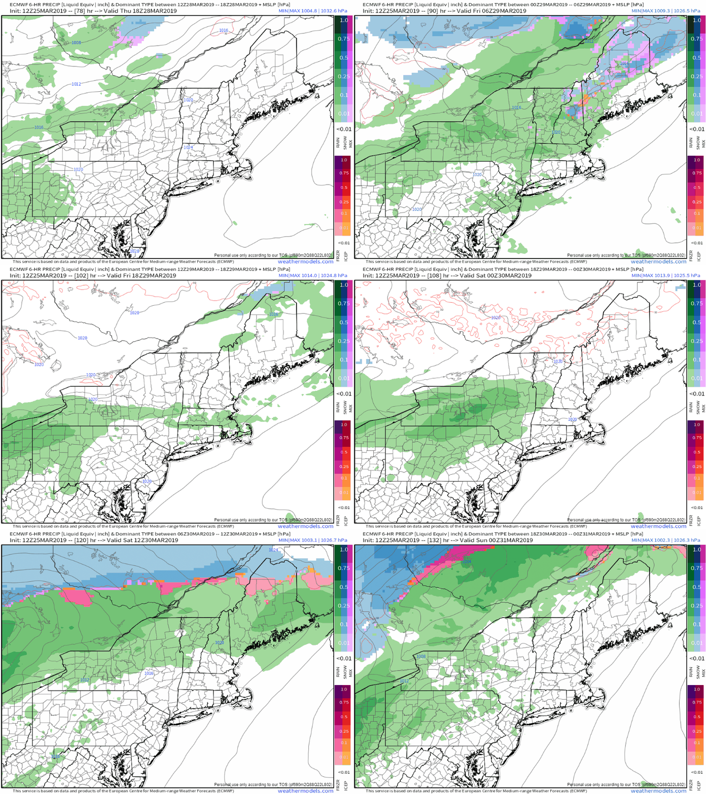
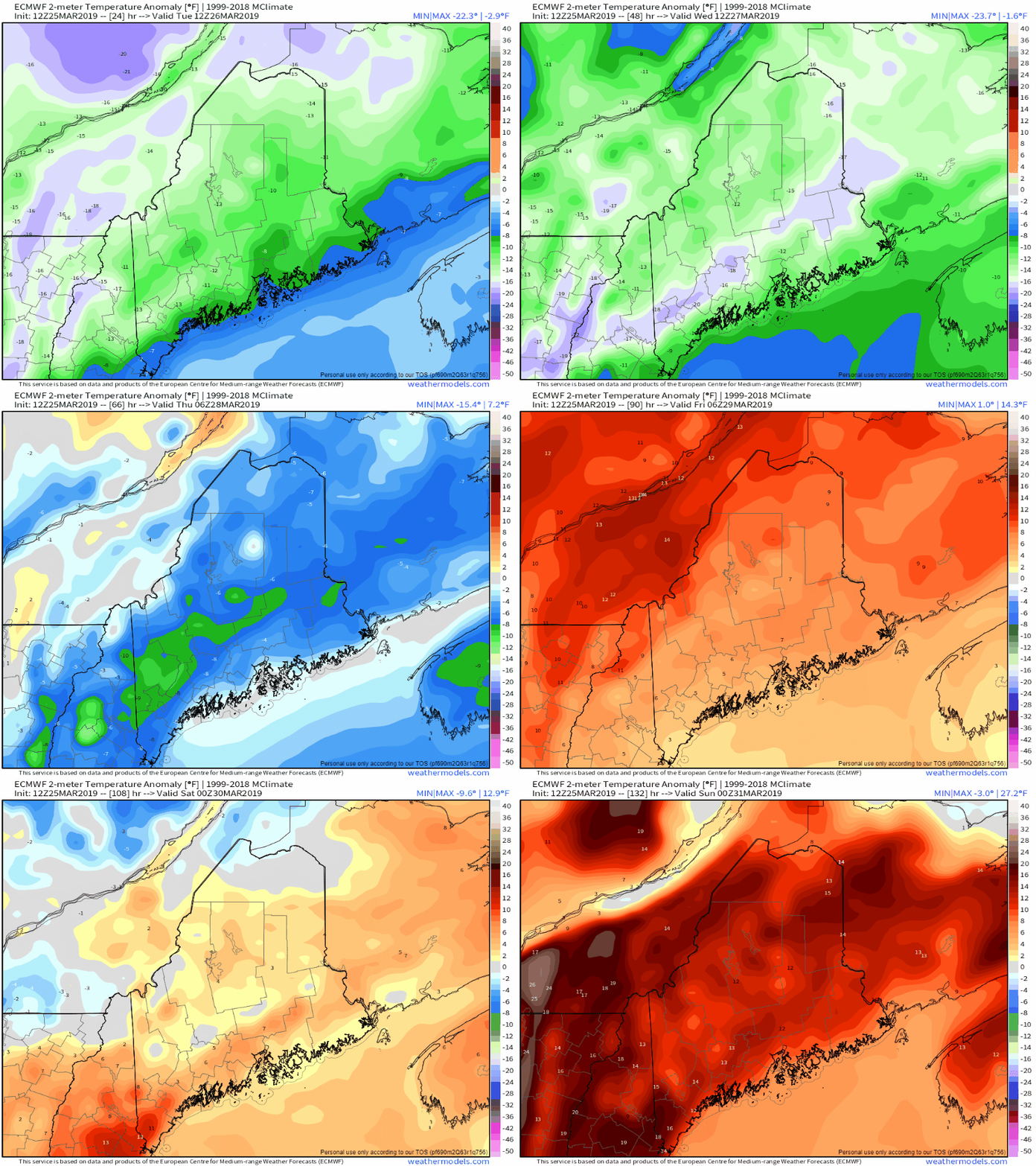
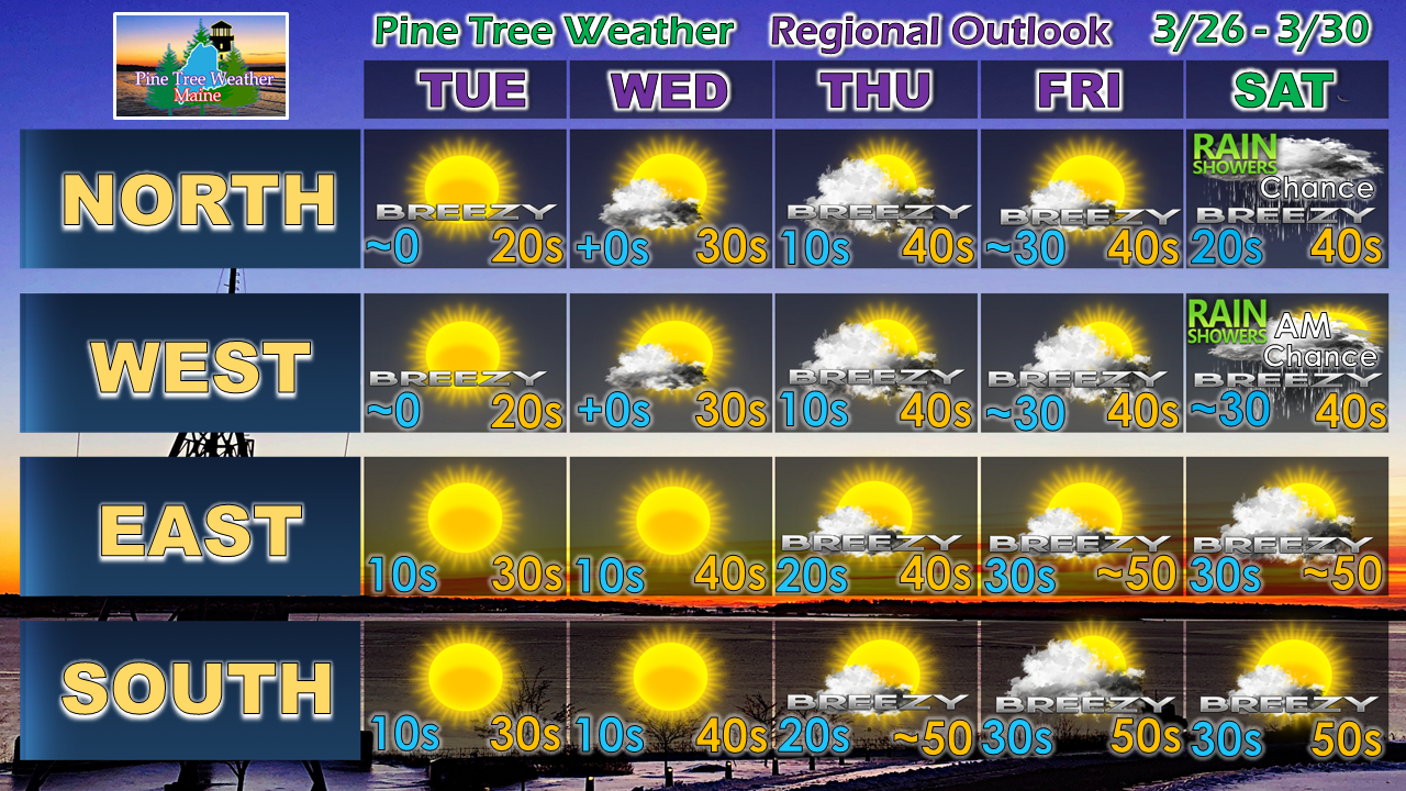
A relatively dry weekTuesday and Wednesday will be on the cool and dry side. A frontal boundary approaches from the west Thursday and could bring some overnight rain showers. A warm front moves into the region Friday night, bringing another round of scattered rain activity. Showers may linger in the mountains and north into Saturday. Rain totals for the week appear mainly light as it appears for now. This is good news as areas dry out and thaw out from the winter snow pack. Flooding from runoff does not appear to be an issue for now, but by next week it will need to be monitored. Temperature whiplash between Tuesday and SaturdayAfter a couple of late February cold days Tuesday and Wednesday, temperatures begin to head northward as we head into the late part of the week. Where the mercury will read in the double digits below seasonal normal's through midweek, it could flip to double digits above normal by the time Friday and Saturday roll around. It will feel like early May by the time the weekend starts. Regional outlook through SaturdayBe advised there is a potential April Fools storm possible which could bring snow, rain or both pending on track. I will updating on that as the week unfolds.
► ► For the latest official forecasts, bulletins and advisories, please check in with the National Weather Service in Gray for western and southern areas, or Caribou for northern and eastern parts of Maine. ► ► Your financial donations are much appreciated to keep this site funded and for further development. I sincerely appreciate your support not only financially, but also in sharing my efforts with others. Always stay weather aware! - Mike |
Mike Haggett
|


