
Expect modifications of snowfall idea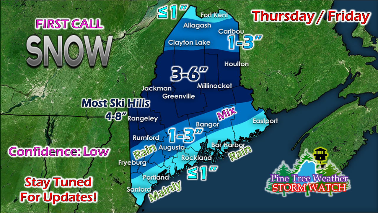 These early season storms are always a challenge, and this one is no different. Whereas in previous model runs, the upper level trough was more tilted, and the result of that was a more intense surface low, that does not appear to occur west of Penobscot Bay. Where my confidence is low is for eastern areas, as a result. The upper trough begins to tilt negatively, and a surface low forms along the cold front near Penobscot Bay, and intensifies heading into the Bay of Fundy. For the western half of the state, I am pretty confident with this snowfall map. The mountains should do well, which is great news for ski country. It's those hills which should receive the most accumulation. For the interior coastal plain and outskirts of the foothills, it's going to be a slushy mess. This is going to be a problem once it all freezes up as temperatures drop on Friday. Expect slick conditions not only for the duration of the storm, but also in to Friday night. 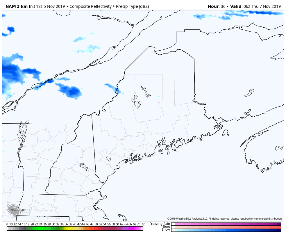 This loop runs from 1 AM Thursday to 1 AM Friday. Precipitation overspreads the region Thursday morning, then continues into Friday morning. Areas of rain may see some backside snow showers on Friday as the storm continues northeastward. I will update on the timing of this on Wednesday, and will make adjustments as necessary at that point.  Get your snow tires on!
► ► For the latest official forecasts, bulletins and advisories, please check in with the National Weather Service in Gray for western and southern areas, or Caribou for northern and eastern parts of Maine. ► ► DONATION DRIVE UPDATE - $840 shortfall for the year ahead! You can help keep Pine Tree Weather going with a donation of any amount now through VENMO @PineTreeWeather, a monthly donation on Patreon or messaging me on Facebook or Twitter to send a check in the mail. Thank you for your support! For more information from me, please check the Pine Tree Weather Facebook page as well as my Twitter feed. Always stay weather aware! - Mike |

Mike Haggett
|


