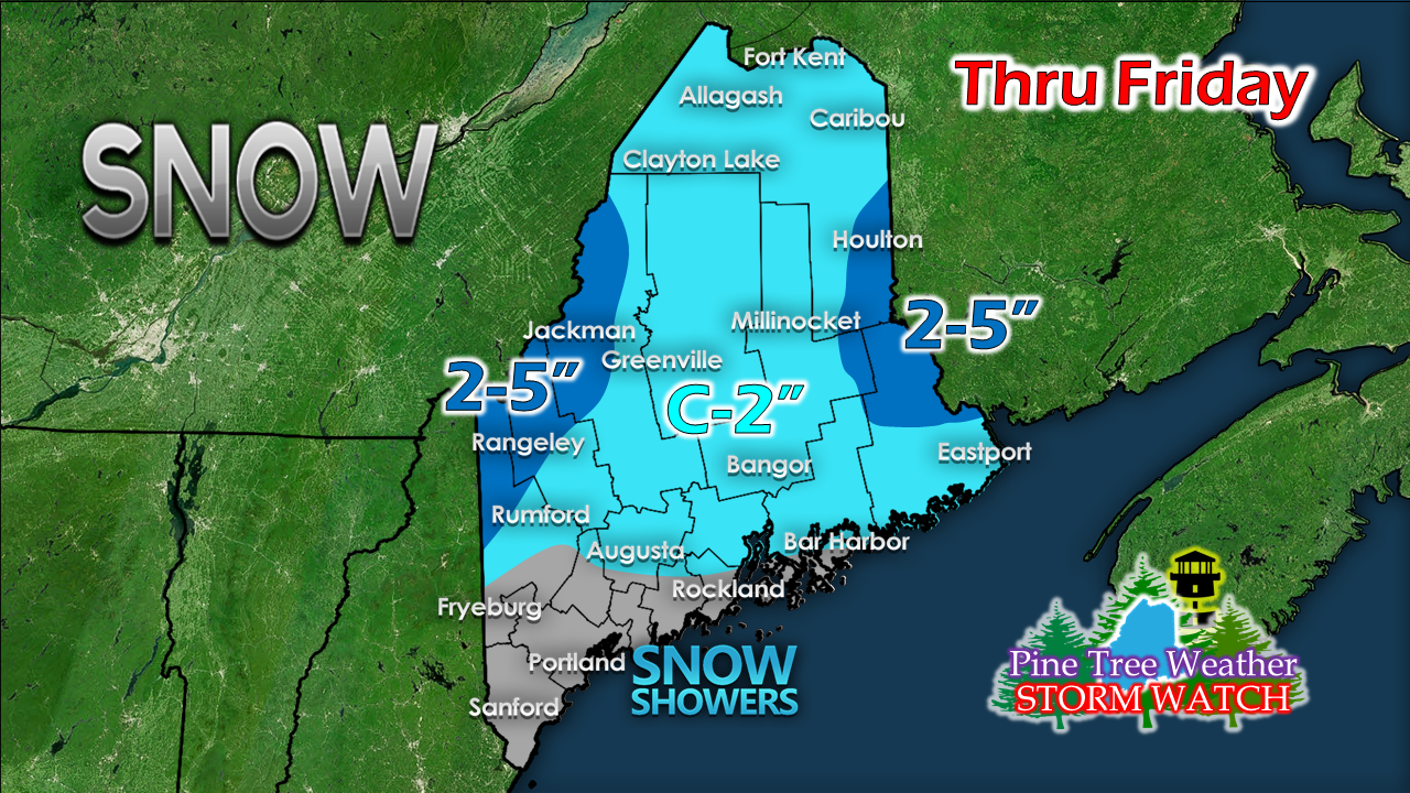
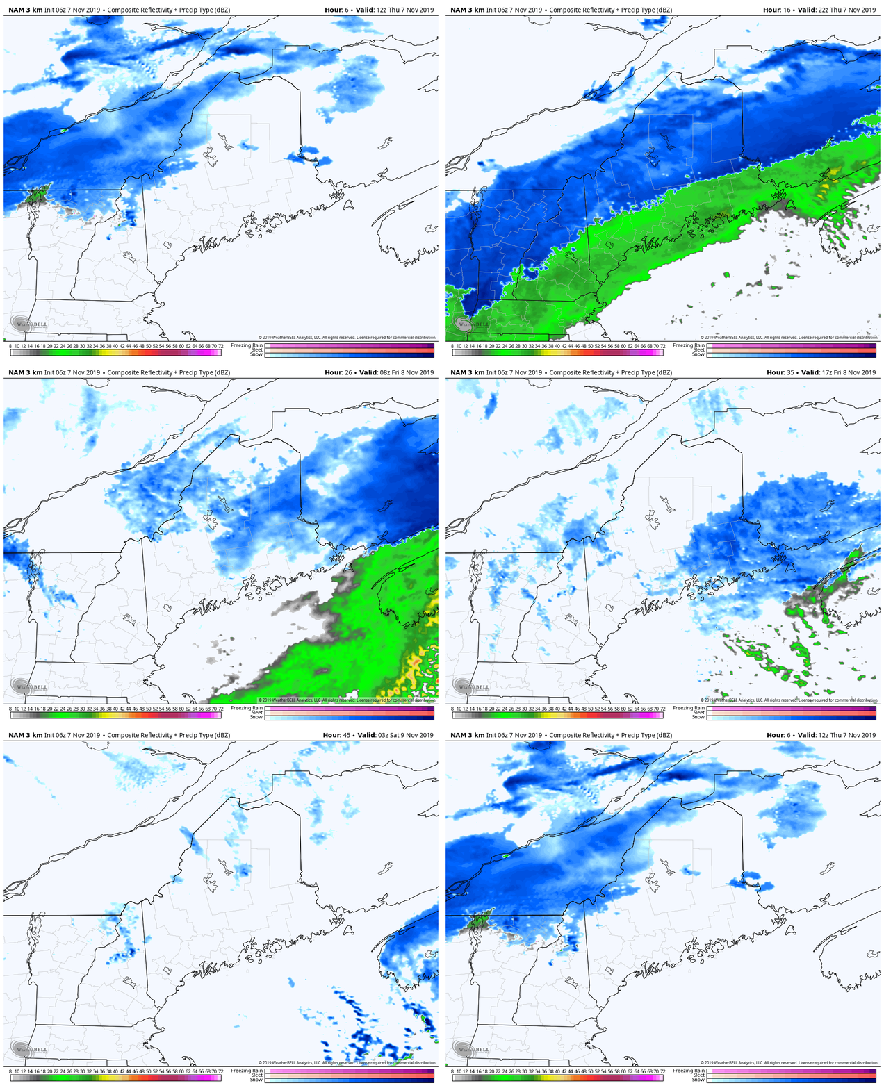
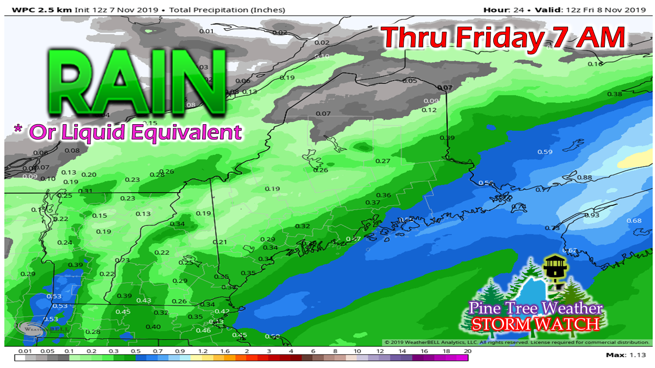
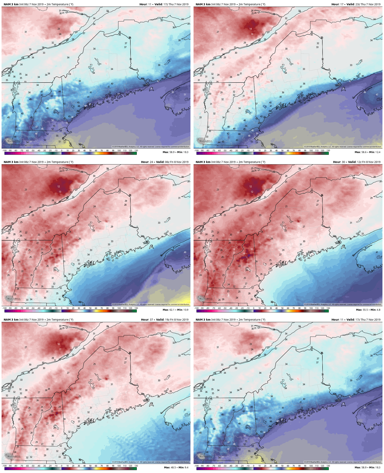
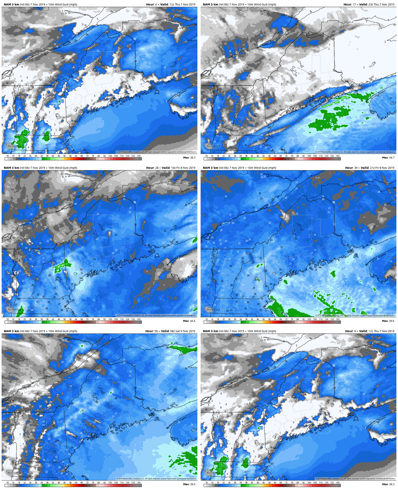
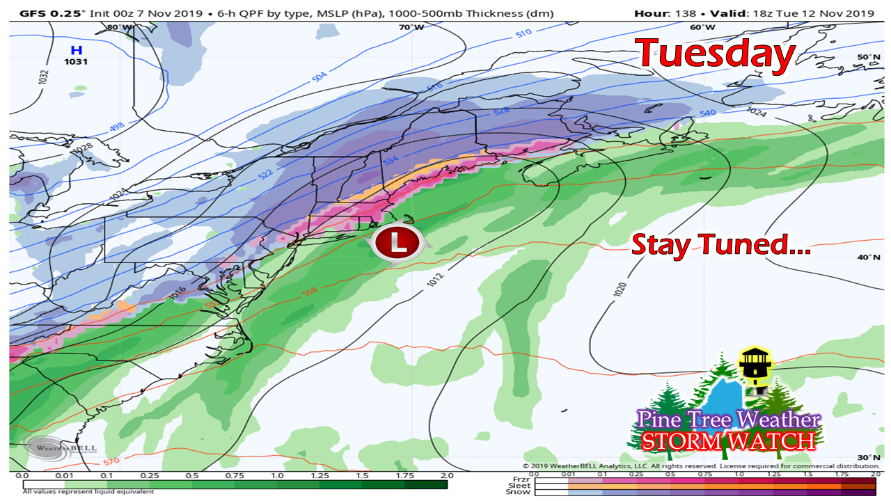
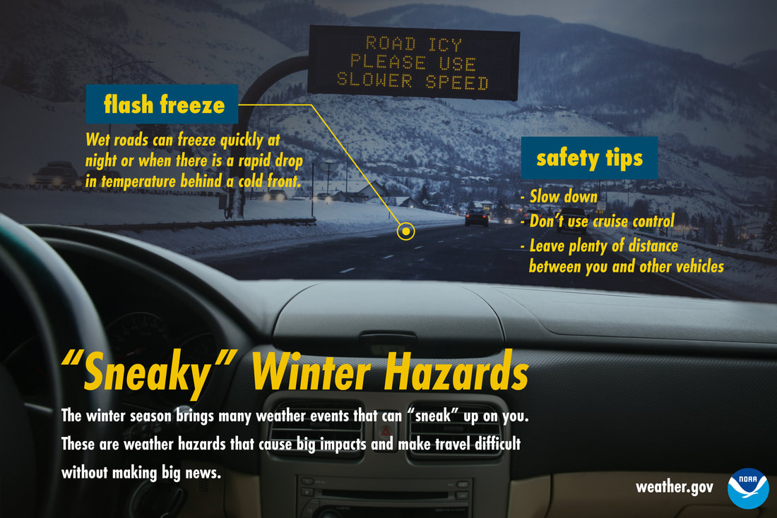
Storm still has impactsWhile not the big snowmaker once thought, there is still travel concerns with this one through Thursday and into Friday. It's always that first storm that people need to retrain themselves how to drive in snow and ice. There are those who have tires on their vehicles that aren't fit for winter conditions. It doesn't take much accumulation to make the roads a mess, for accidents to occur, and make for slow travel. Allow for extra time, expect fast changing road conditions, and take it SLOW. There's snow, there's rain, and then it all freezes upHigher elevations will get the most out of this. This is the one consistent part of the forecast that remains true. It may not be the big dump to help the ski hills jumpstart the season, but it's something to get started with. The higher amounts predicted are for the higher elevations. There is the chance for a light amount of freezing rain in the interior valleys as temperatures fall. I sense there may be an inch or two of fluffy snow on the back side of this for eastern areas as the storm develops and intensifies in the Canadian Maritimes. Precipitation start off with areas of snow for the interior, and rain for the coastal plain Thursday. The frontal boundary sags to the southeast Thursday night. For western and southern areas, what precipitation comes is over by morning, outside of some upslope snow showers in the mountains. Low pressure fires up over the Gulf of St. Lawrence and spins snow showers through northern and eastern areas Friday before ending in the afternoon. Coastal areas are likely to see the heaviest amounts of liquid equivalent precipitation. While rain is easy to shovel, it's not fun when it freezes up. As the front moves southeast, the wind shifts to the northwest, and temperatures crash. Most areas end up at or below freezing in time for the Friday morning commute. While shovels may not be necessary, ice scrapers, and surface treatment is likely to be required. Expect slick roads and sidewalks Friday morning. This loop runs through the day on Friday. If you'll notice, temperatures do not come up much, so expect untreated areas to be slick. Also, with the wind, you can knock these numbers off 10-15° for what it will actually feel like. Bundle up! Temperatures won't come up much because with the storm intensifying to the east and high pressure moving in, the wind is going to pick up. It will remain breezy through Friday and into Saturday, before settling down Saturday night. Areas along the Quebec border may see some snow showers from a weak low passing through the central part of the province on Sunday, but other than that, the area stays precipitation free until Tuesday. The next oneThere will be a battle for supremacy between cold air to the west and warm air to the east as we start the first of the week. Where the trough & ridge sets up, where energy along it comes together and how the upper level pattern sets up will dictate what happens Tuesday. After the performance of the model ideas of the late week storm, it is best to let this one simmer on the back of the stove for a couple days before the ideas begin to be discussed. Get your snow tires on!
► ► For the latest official forecasts, bulletins and advisories, please check in with the National Weather Service in Gray for western and southern areas, or Caribou for northern and eastern parts of Maine. ► ► DONATION DRIVE UPDATE - $840 shortfall for the year ahead! You can help keep Pine Tree Weather going with a donation of any amount now through VENMO @PineTreeWeather, a monthly donation on Patreon or messaging me on Facebook or Twitter to send a check in the mail. Thank you for your support! For more information from me, please check the Pine Tree Weather Facebook page as well as my Twitter feed. Always stay weather aware! - Mike |
Mike Haggett
|

